

|
Dick's Adventures of 2019 - Part 5 |
|
| Photos Related Links More Travel Reports | |
| Adventures of 2016 Adventures of 2017 Adventures of 2018 2019 Part 1 | |
| Buffin
Meadow Hikes
Goat Meadow Camp
Finegold North Trail
Return to Nelder Basin A White Thanksgiving Lewis Creek Trail |
|
| Buffin
Meadow
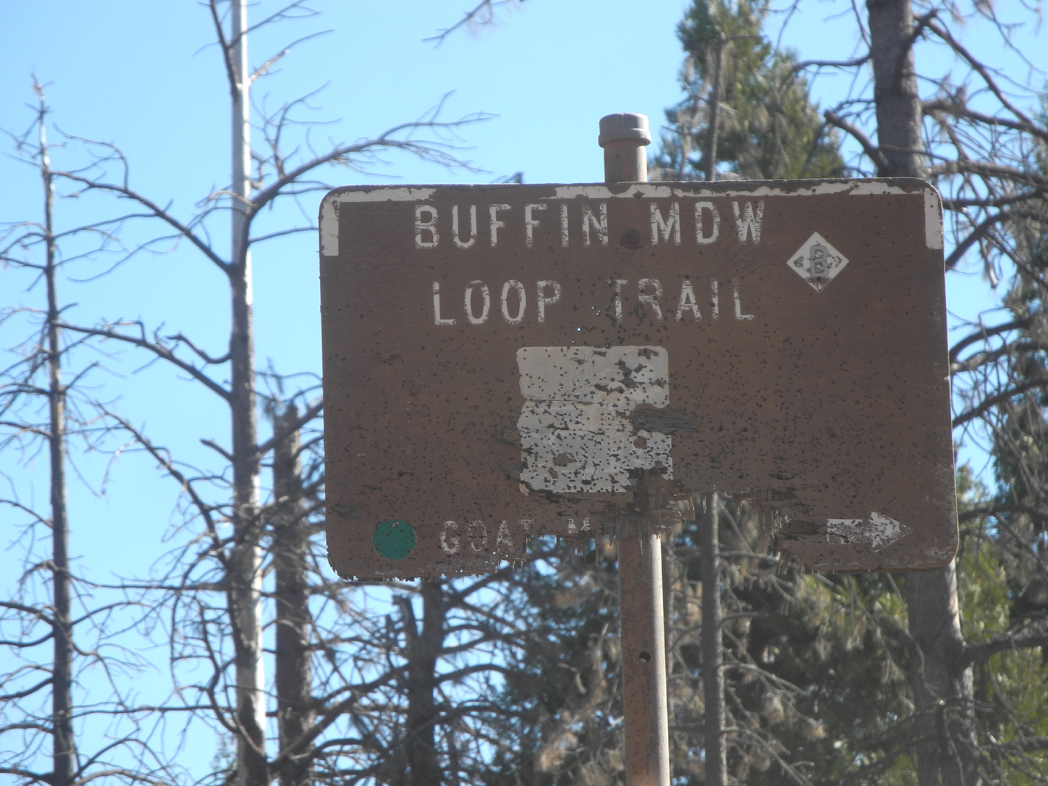
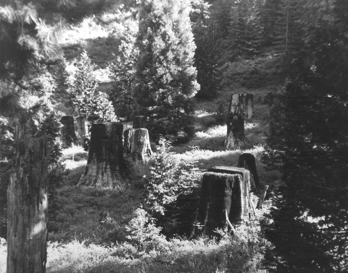
My drive up Highway 41 to Fish Camp on October 28 took a little longer than usual. Due to the PG&E preemptive power outage, traffic lights were out from the North Fork cutoff through Oakhurst. It looked like most restaurants and many other businesses were closed. There was a gas station open in Coarsegold and one in Oakhurst, both with LOOOONG lines. My destination was Buffin Meadow, about two miles east of Fish Camp. I went there for the first time in June of last year. At the junction of White Chief Mountain Road and Mt. Raymond Road there was a sign, "Buffin Meadow Loop Trail." I found no sign of a trail, but walked down to the meadow. It was green and very wet, and I could not go across. Wes and I went there in November and easily walked across the now dry meadow. A short distance into the woods Wes came across a rocky trail, but we did not have time nor inclination to explore it. However, it seemed likely that it was the elusive Buffin Meadow Loop. |
|
 |
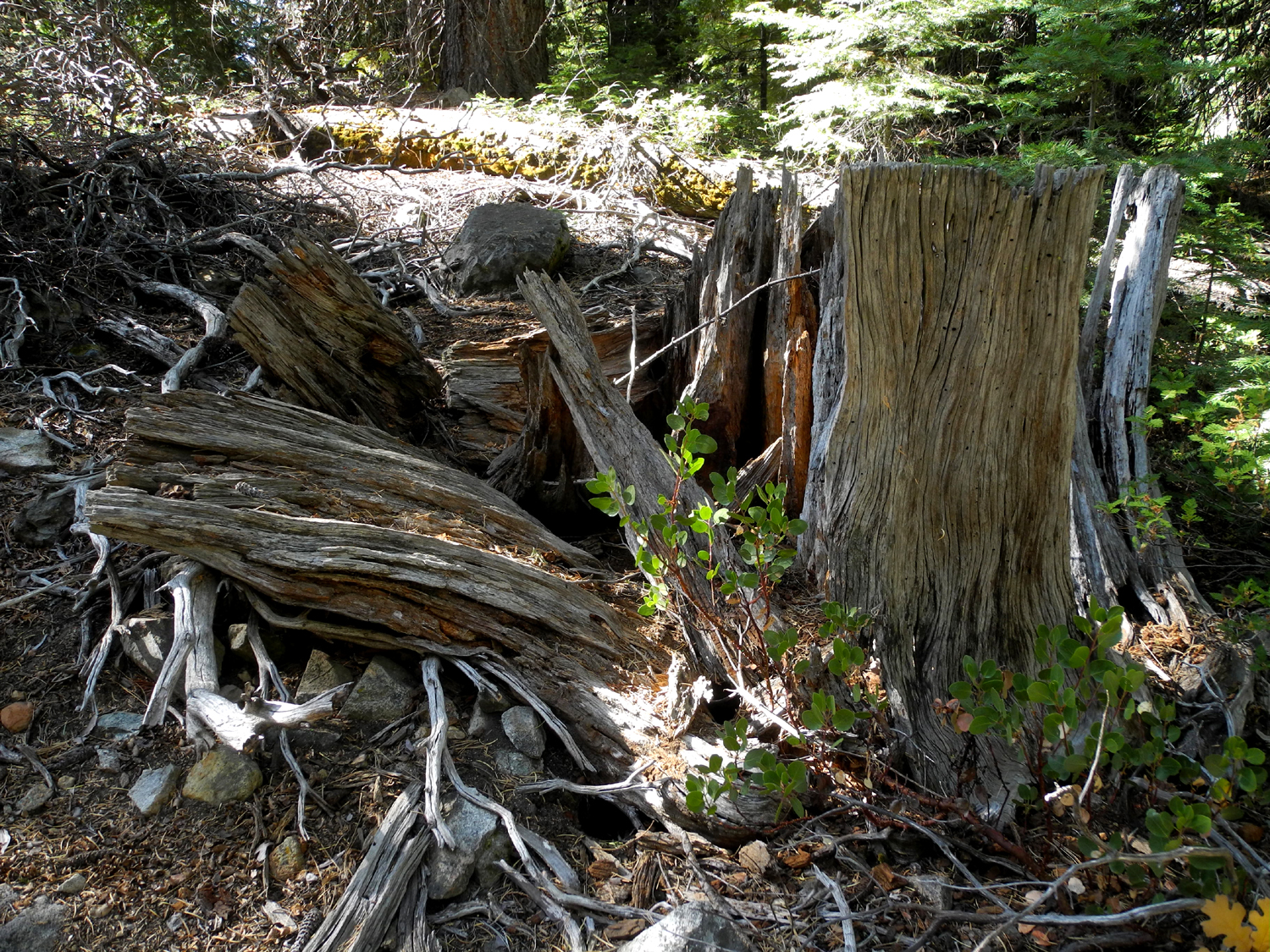 |
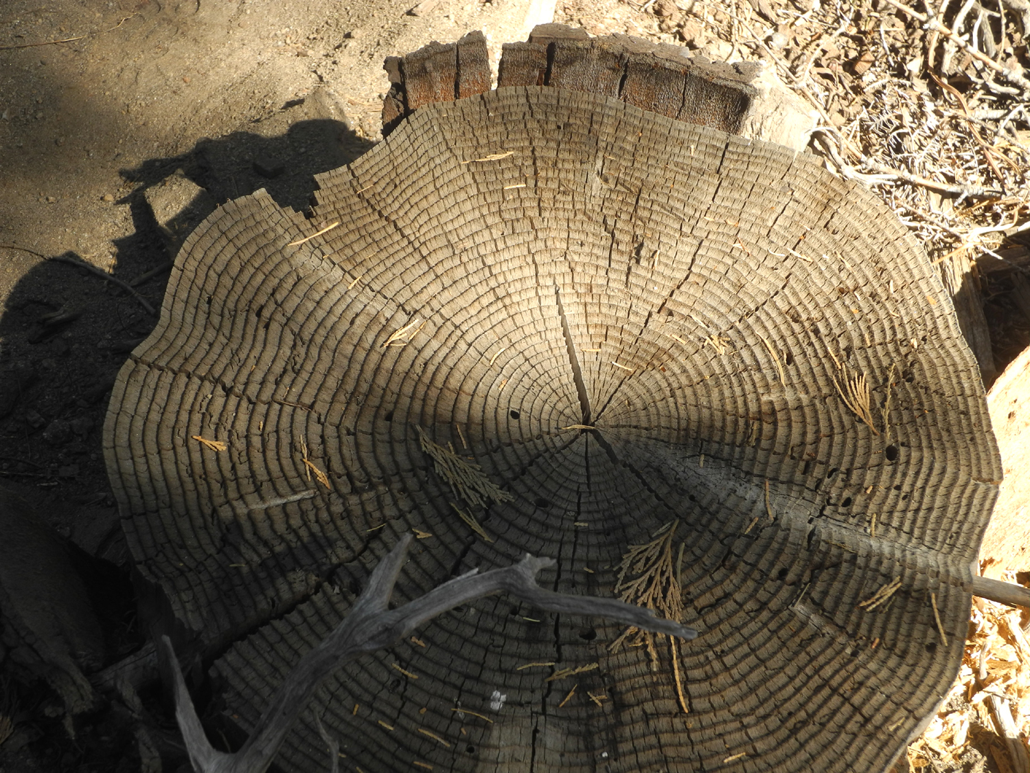
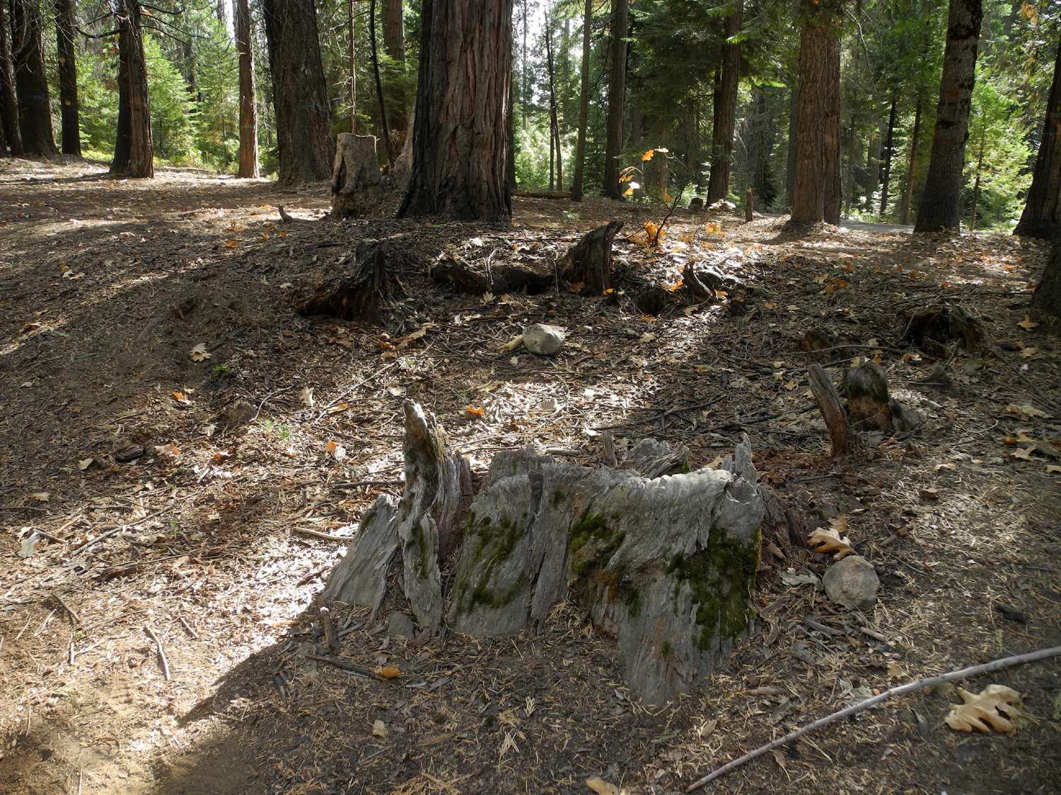
| Despite the dry grass, there were wet spots where I crossed the meadow | Quite a few ancient stumps appear in the meadow and the woods |
|
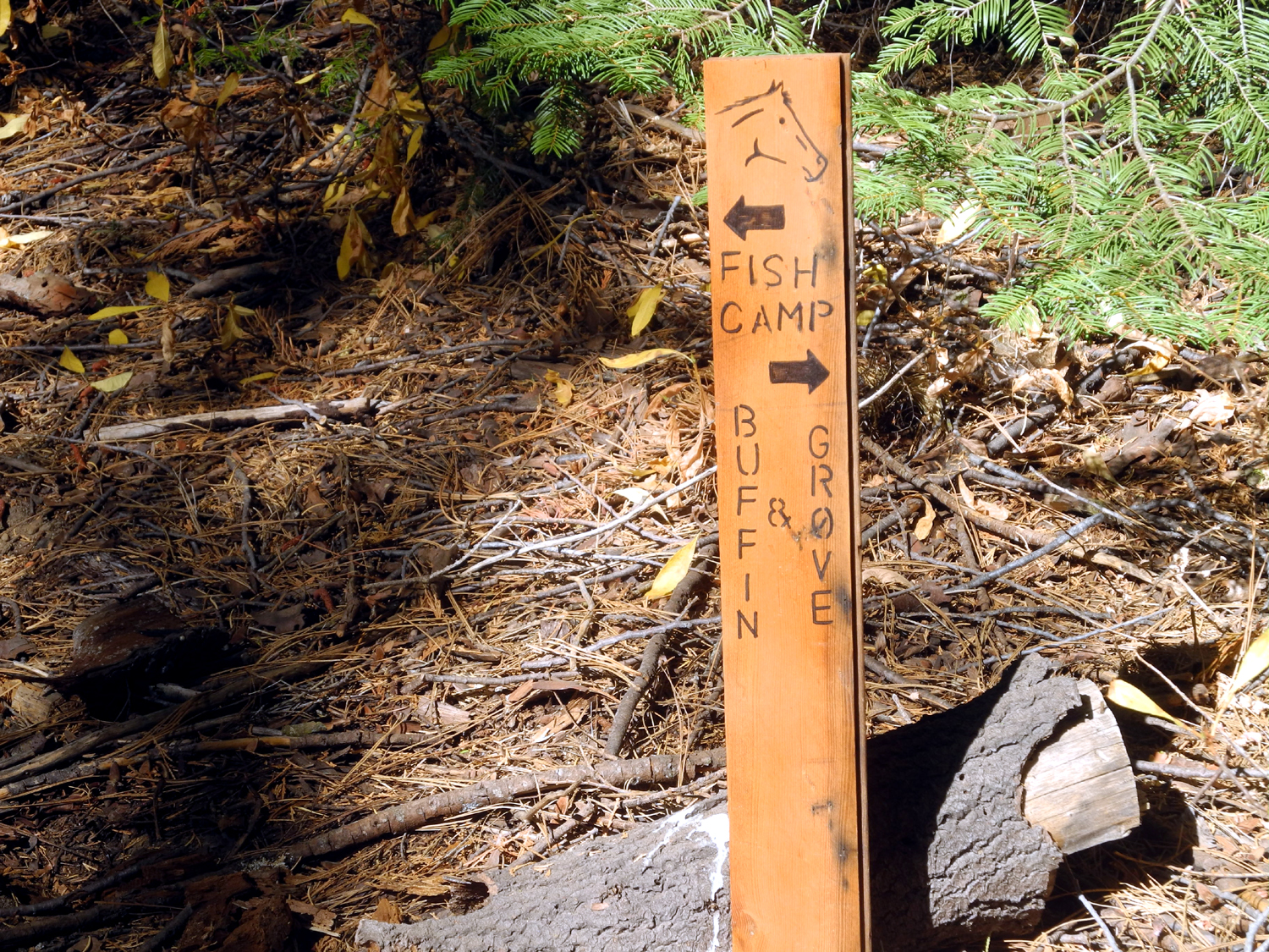
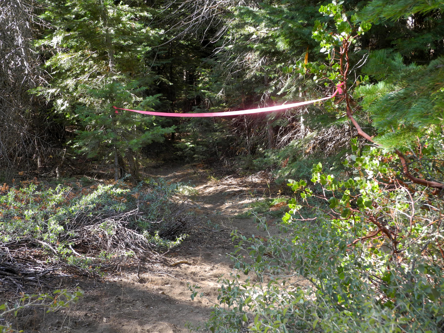
I parked where a narrow, brush clogged track leaves Mt. Raymond Road, walked down to the meadow, and crossed it. At the trail I turned right, and soon came to a place where there was a pink ribbon across the trail. Just past this a fork led to the right. I reasoned that the barrier was intended for those coming from the opposite direction. I continued on, eventually coming to another fork where signs pointed west to Fish Camp and east to "Buffin & Grove." A sign on another fork read "Old RR Grade." I went in that direction a short distance, but turned back at a fairly good size creek. The sign pointing to Fish Camp, a sketch of a horse head on the sign, and the fact that the trail was cut deeply below the surface of the forest floor combined to make a light bulb go on over my head. "This is a horse trail," I realized. If I had followed it toward Fish Camp I would probably have arrived at Yosemite Trails Pack Station near Fish Camp, but it would be a fairly long way. |
|
 |
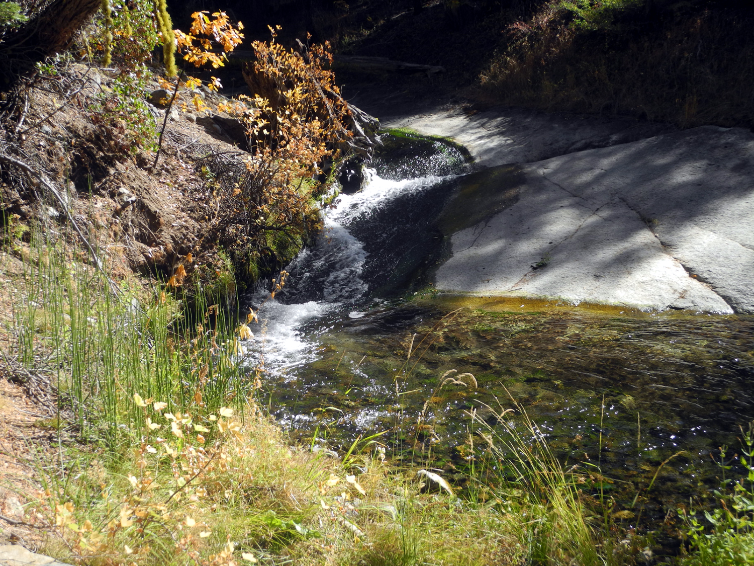 |
| The well-defined trail has some helpful signs | This is apparently Rainier Creek |
|
Instead I went back the way I had come, but turned left at the pink ribbon. This route led me to the lower end of Buffin Meadow, through a shady area where people have camped, and back to the access road. I considered going to El Cid, then realized that no one would be cooking in Oakhurst. I had brought a sandwich, so I set up my chair and TV tray at a place where people have camped, just past the Goat Meadow Snow Play area on Mt. Raymond Road. It felt quite cool, and since I had my thermometer with me, I put it in the shade, where the temperature was 52. A fire would have felt good. |
|
 |
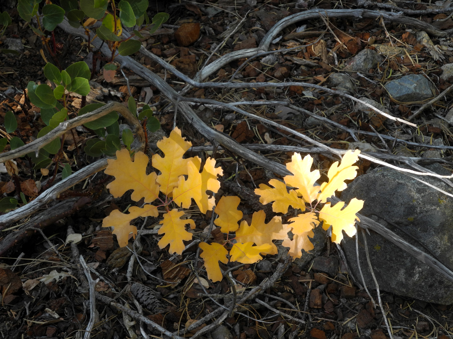 |
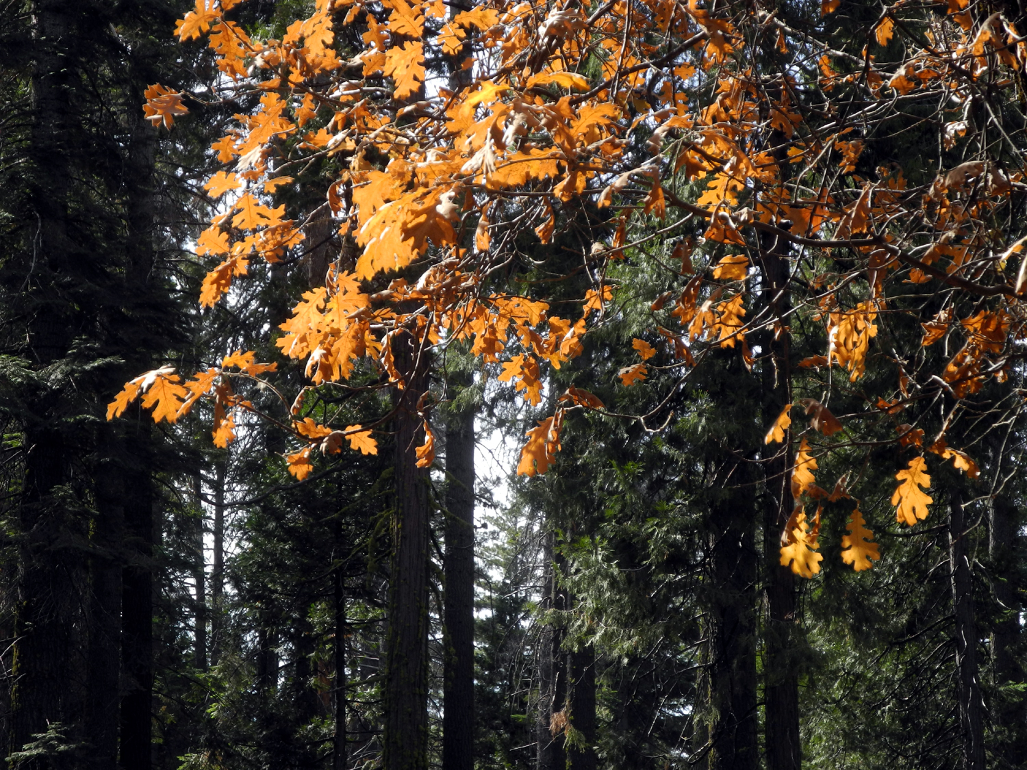
| The lower end of Buffin Meadow | Black oaks, large and small, were putting on a show |
|
Although
some questions about the trail were answered, I had more. What does
the reference to "grove" mean? It seems likely that it
refers to the Mariposa Grove of giant sequoias, which lies at the
southern edge of Yosemite National Park. And if so, how far is it?
Also, is it worth finding a place to cross the creek in order to see
the old railroad grade? The woods are full of these, and they are
usually just an overgrown track through the woods. It would take a
return trip to further explore the area. --Dick Estel, November 2019 |
|
| Goat
Meadow Camp
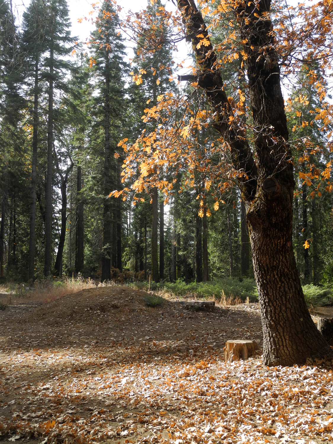
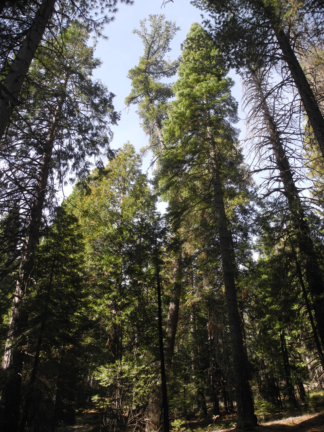
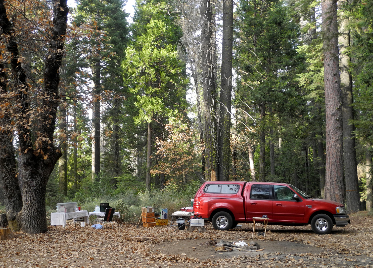
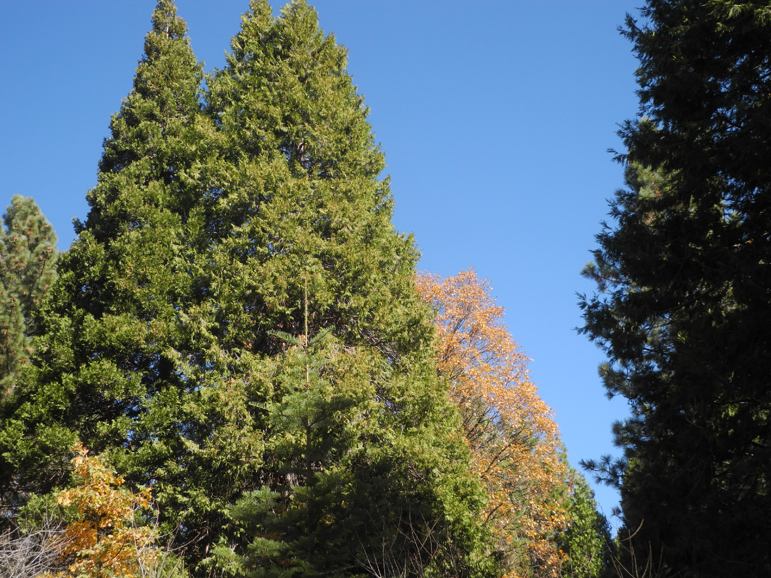
When I hiked on the Buffin Meadow Trail in late October, I vowed to return as soon as possible and explore the trail in the opposite direction. On November 11 I drove up Highway 41 just past the border of Yosemite National Park and turned off on the road to the Goat Meadow Snow Play Area. Just beyond the large paved parking lot, but out of sight of it is the place I ate lunch last time, an area with a fire ring where people have camped over the years. The area is surrounded by sugar pine, ponderosa pine, fir, cedar, and black oaks with their leaves changing color. |
|
 |
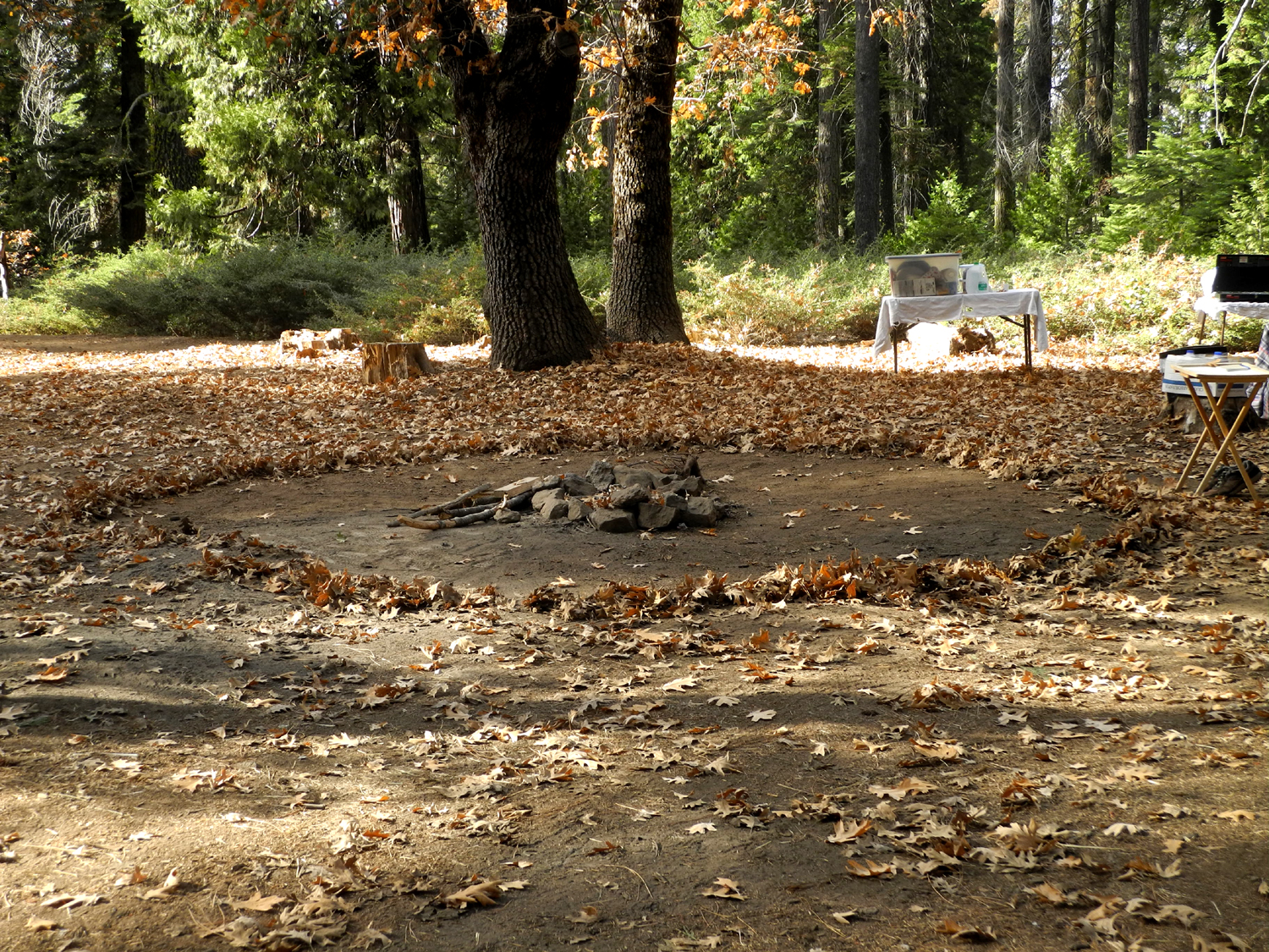 |
| Black oak tree and fallen leaves next to my camp | Fire ring with oak leaves raked away to make a safe zone |
|
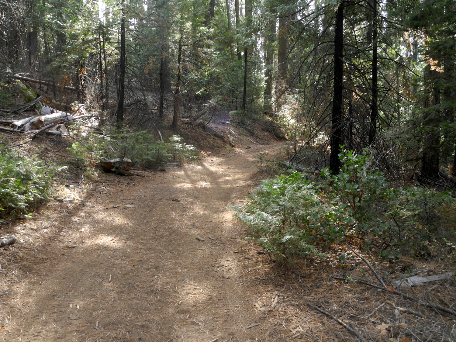
That first day I did several short walks around the camp area, saving the "big hike" for the next day. I went up a road that branched off the main road across from my camp, passing two fairly good camp sites on the way. This road was marked with a sign indicating it was not suitable for passenger cars, although I could have driven my truck on any of the section I walked. I thought that maybe the second campsite would be good for my next visit to the area, since it was a few hundred yards away from the road, but the fire ring was in the middle of that road. Even so, since no one drove up that road while I was there, it might work. Right at the campsite there was another road off the one I walked on, this one without a number sign. I went up about a hundred yards, then returned to camp. I finished setting up my cot and gathered some wood and pine cones for the fire. My hiking total was eight tenths of a mile, and I did a lot of reading and loafing, along with short walks around camp. |
|
 |
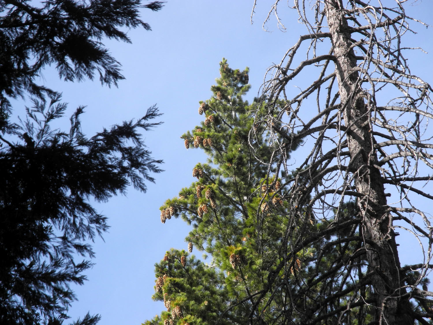 |
| Road 5S06A, leading up hill across from my camp | Sugar pine with a nice crop of new cones |
|
After breakfast the next day I drove a mile and a half to the junction where I first saw the infamous Buffin Meadow Loop sign, and a little farther to the short side road that leads down to Buffin Meadow. I crossed the meadow as I had done a month earlier, this time turning left on the trail. The route went around the northern end of the meadow, and soon crossed the main road. From here it mainly went west parallel to the road, so I knew it would probably cross the other fork of the road. When I came to that next crossing, I went up the road for a short distance, where I found two things of interest - half a sign that said "....a Grove 1 mile" and a road to the left blocked by a gate that was the boundary of Yosemite National Park. I turned back here and hiked down the road and back to my truck. Looking at my map later it looks like the actual Mariposa Grove would be considerably more than a mile, but now I have something else to check out next time I'm in that area. My hike was about a mile and a half, and I got in another half mile wandering around and gathering wood. |
|
 |
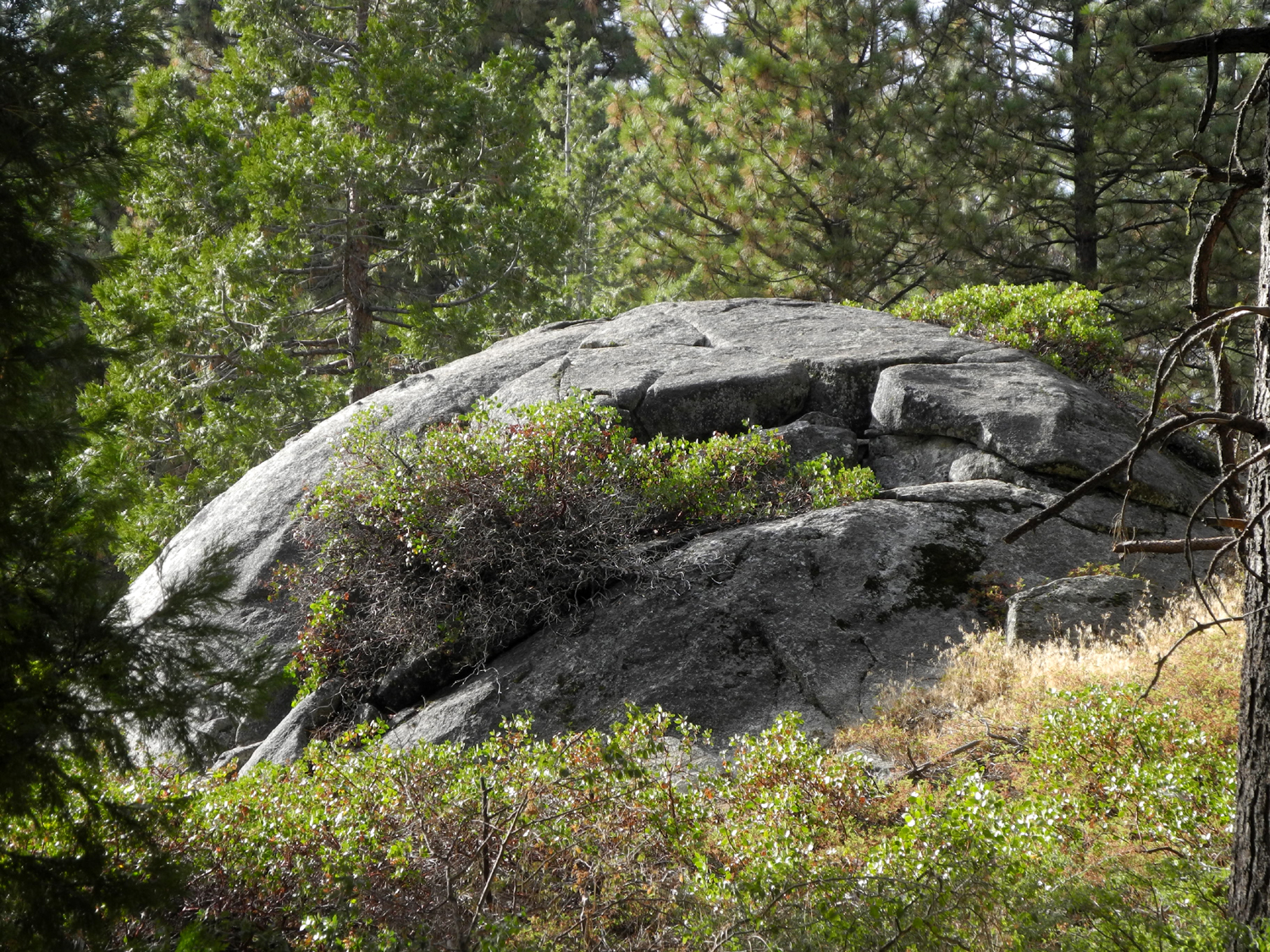 |
| An unusual S-shaped sugar pine | Boulder along road 5S06 |
|
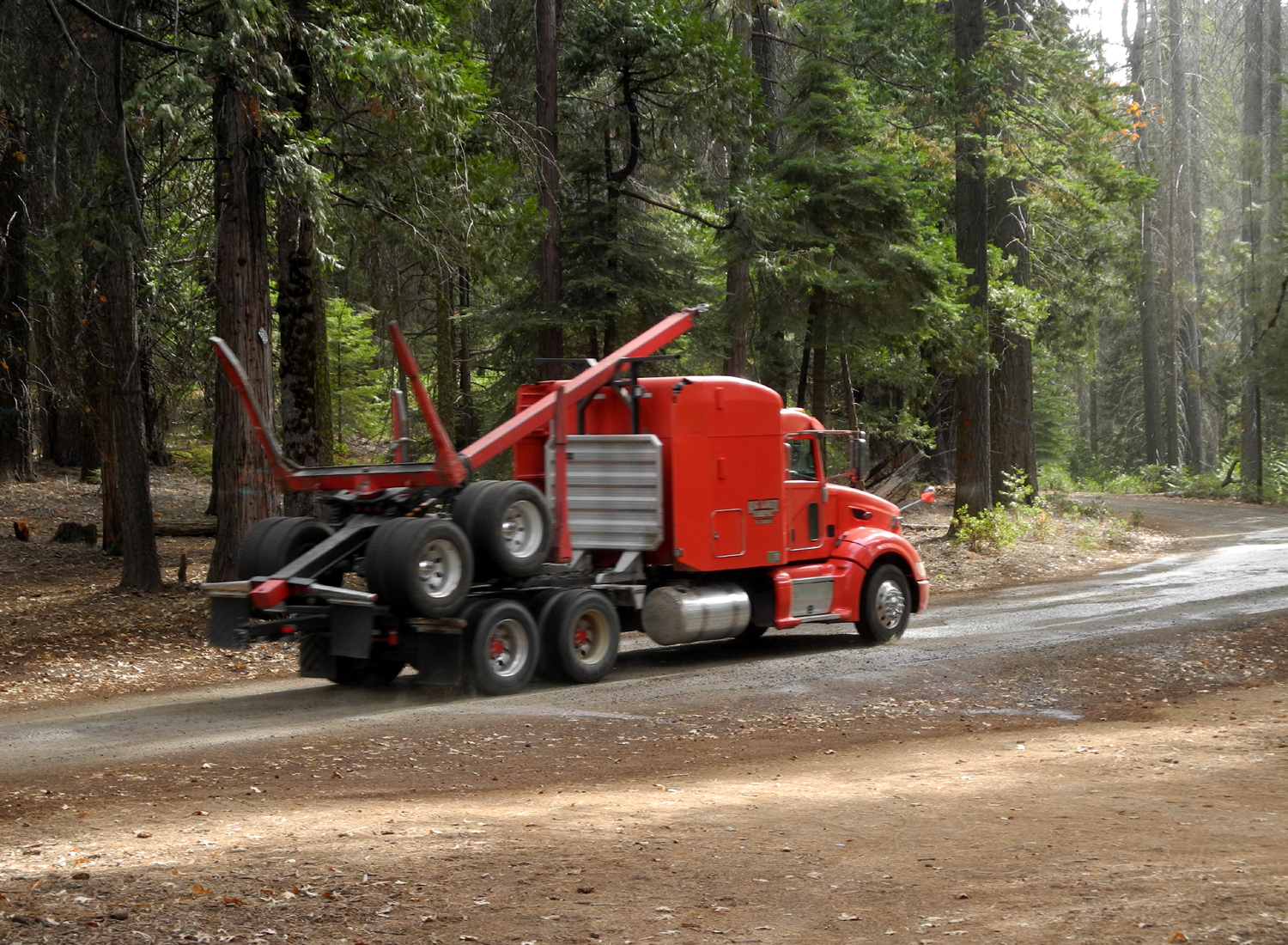
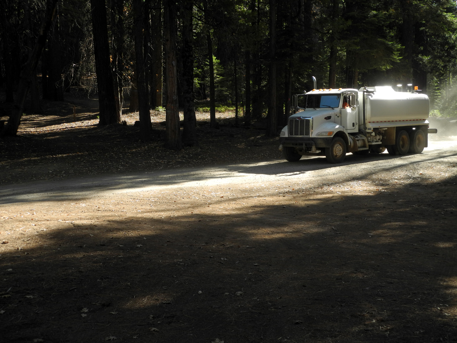
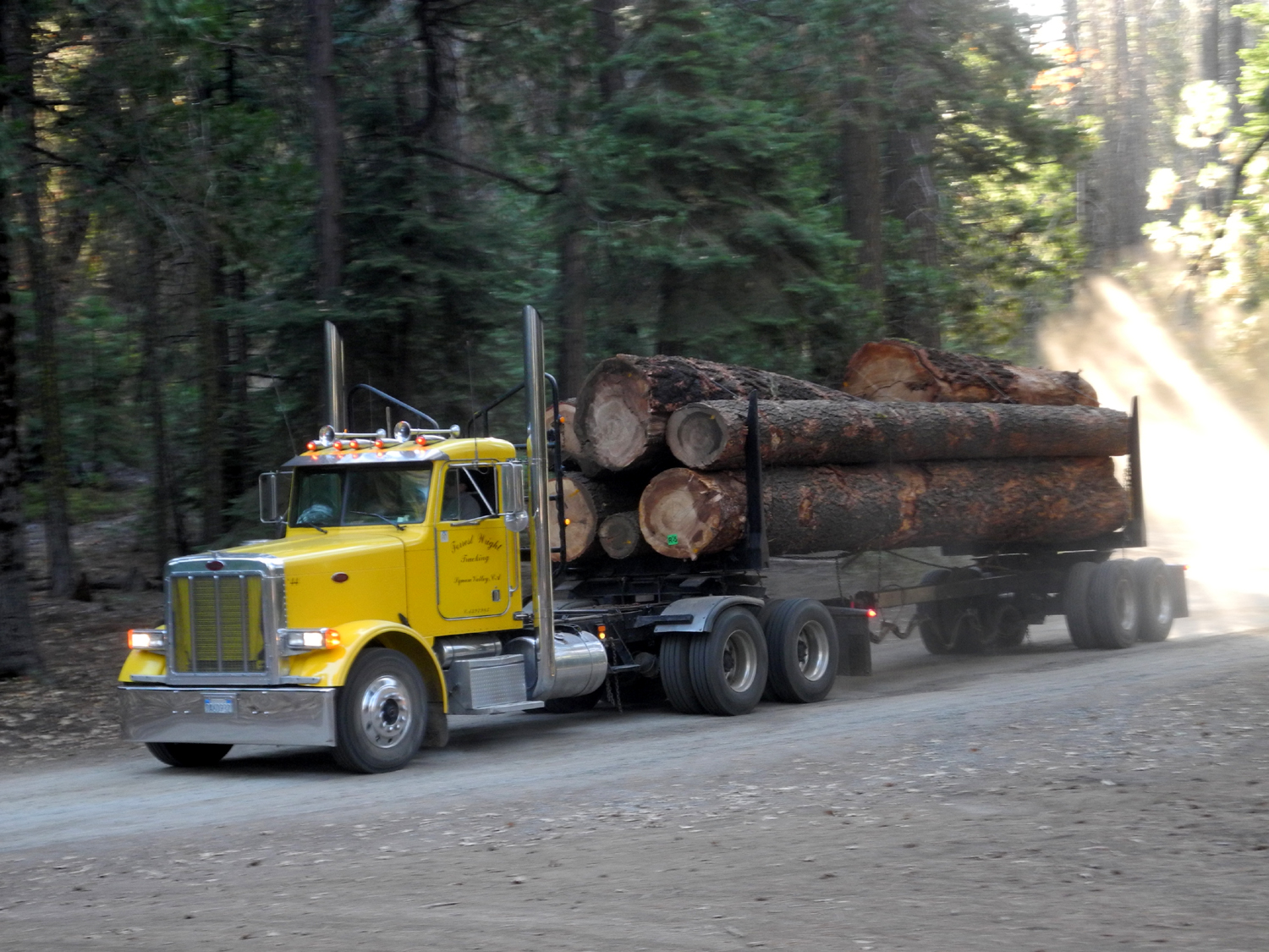
Although it was generally peaceful and quiet at my camp, there was some activity. People were camped at the snow play area, over the hill out of sight and hearing. Several parties hiked up the road or over the hill while I was there. I learned that the equestrian trail came close to me on the south side of the road when a group of six riders appeared. Most interesting were log trucks. As l I turned off Highway 41 on to the road to camp a water truck came out, spraying the road to keep down dust. I immediately suspected there would be log trucks, and the first one went by about 1:30 p.m. About eight trucks went out each day, and of course, empty ones came in. Each morning the first load out was at 4:30 a.m., and two or three empties went in during the night. Since the logging operation was well beyond where I drove, I don't know if they were loading at night or what. |
|
 |
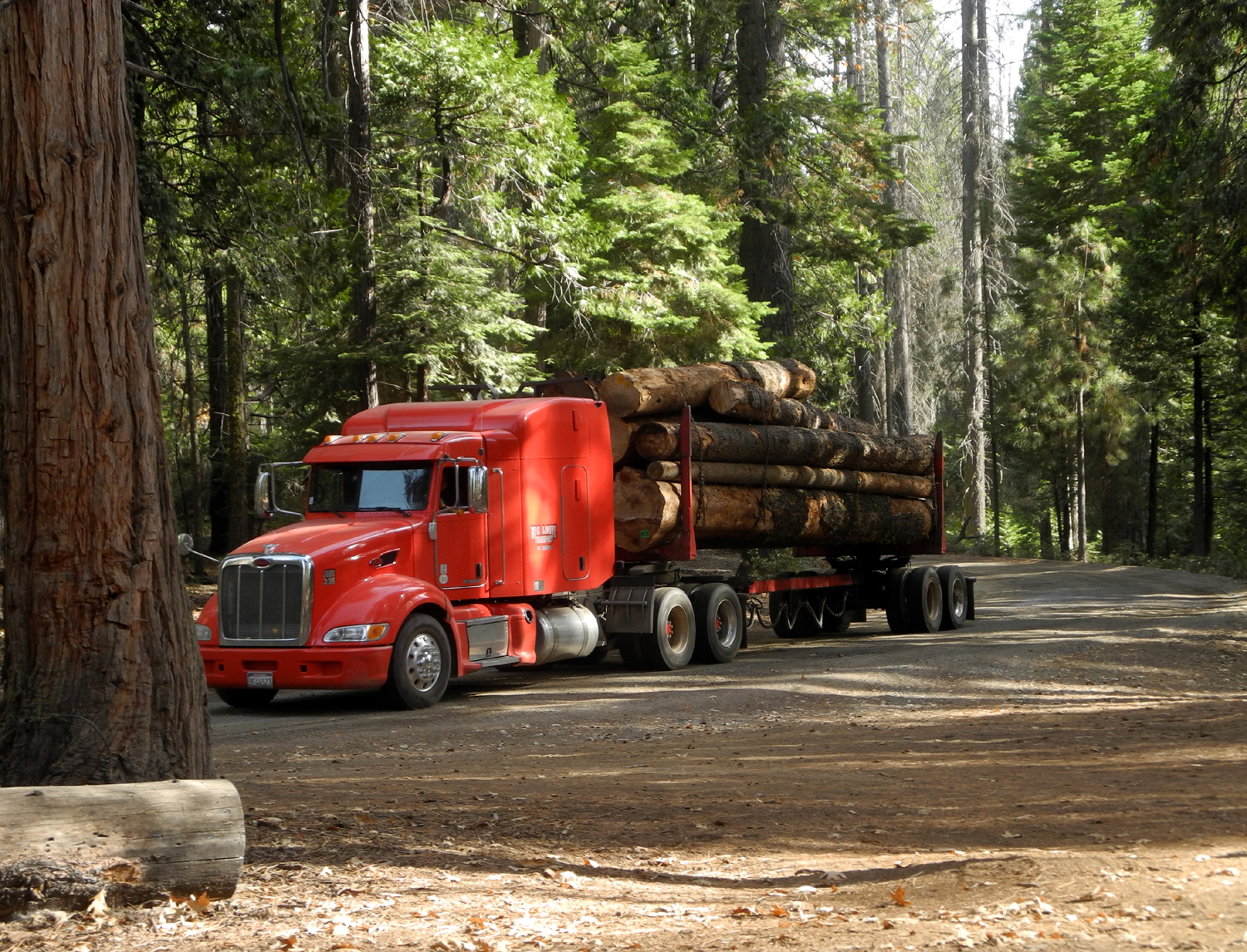 |
| Empty trucks go into the woods | And come out loaded with logs |
|
Overall
it was one my more enjoyable camping trips this summer. At 5,000
feet elevation, it was about 70 degrees in the daytime, comfortable
to wear just a long-sleeve t-shirt. There was almost no wind at any
time. The night time lows were about 39, but I was warm and
comfortable in my sleeping bag with a lightweight hooded down jacket
that I recently bought. I hope to return to the area for further
explorations next year. --Dick Estel, November 2019 |
|
| Finegold
North Trail
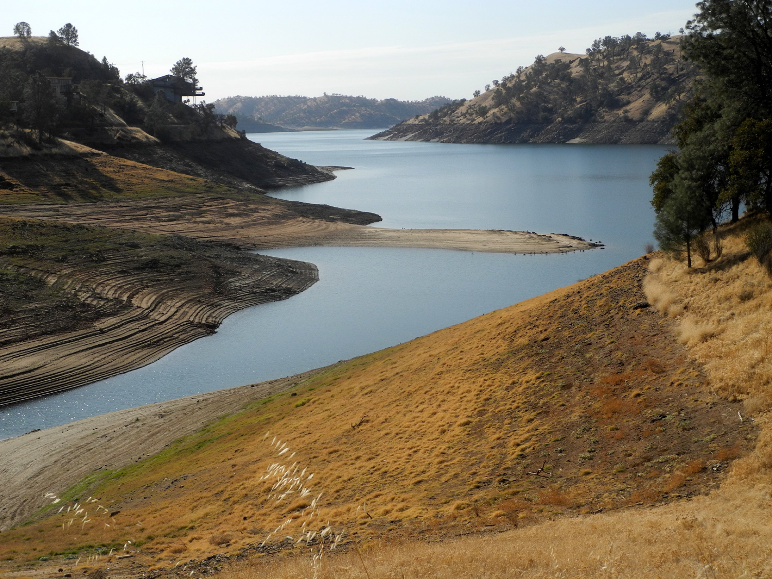
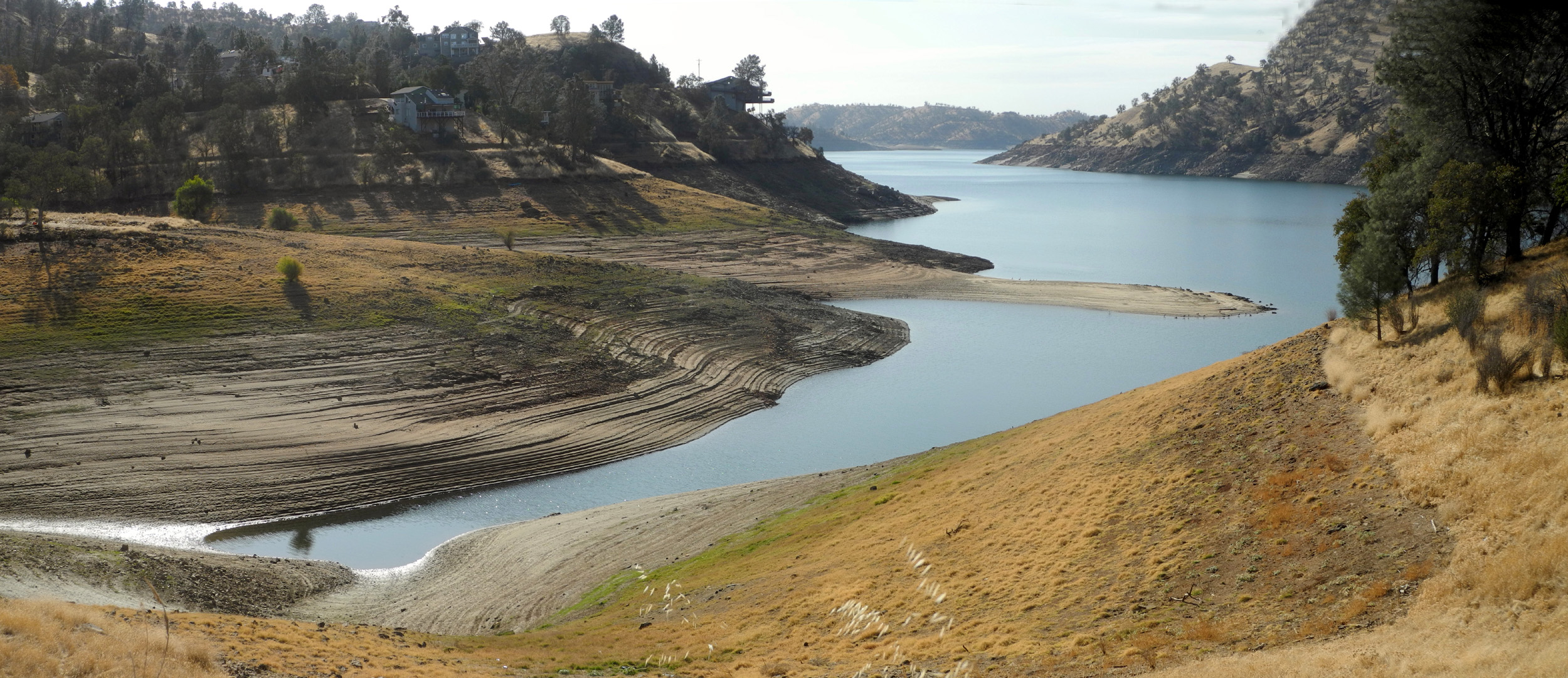
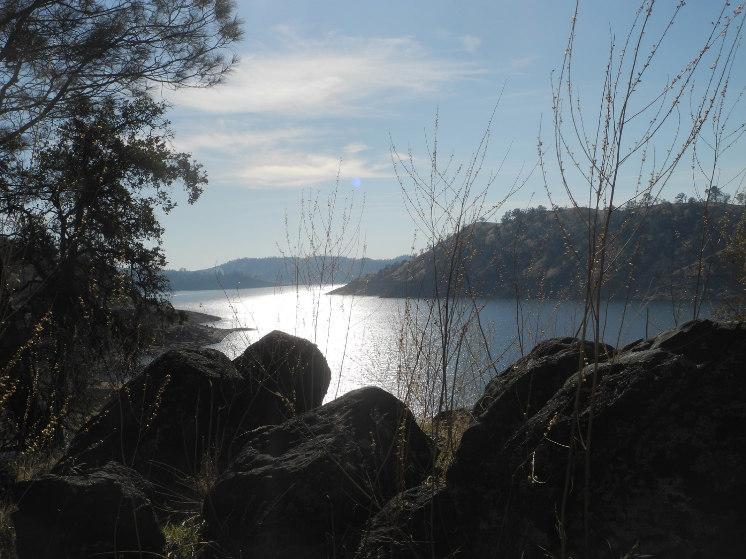
On November 21, pretty much on an impulse, I drove out to Sky Harbor and the Finegold Picnic Area on Lake Millerton. I did not hike up the San Joaquin River Trail that ultimately goes to Squaw Leap, but instead took the trail on the north side of the parking area. This trail goes down and crosses above a little cove, then around a ridge that separates the cove from the main lake. This is not an official trail, although part of it follows an old road. It is probably used mostly by fishermen and people who don't have the ambition for a more challenging hike like myself (on this particular day at least). |
|
 |
 |
| Looking downstream from the ridge between the cove and the main lake | These "Canada" geese have become permanent residents of central California |
|
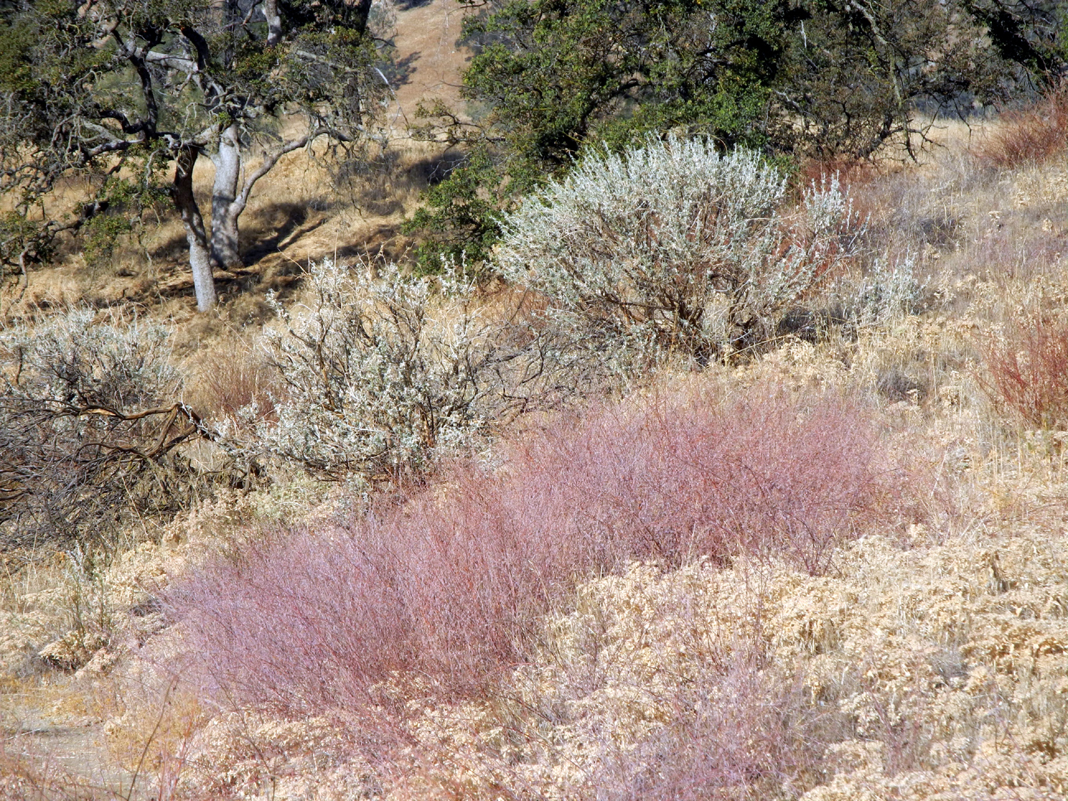
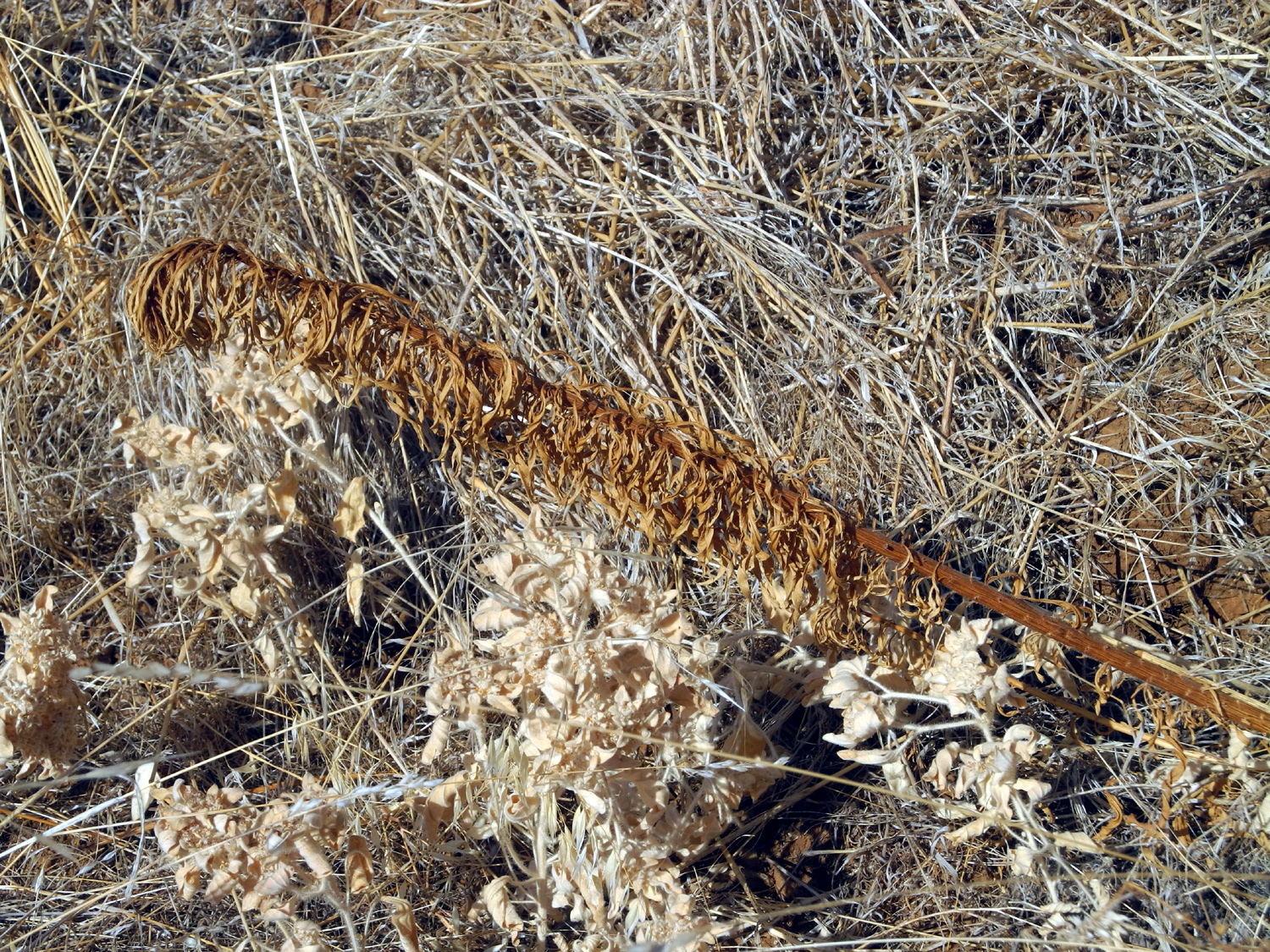
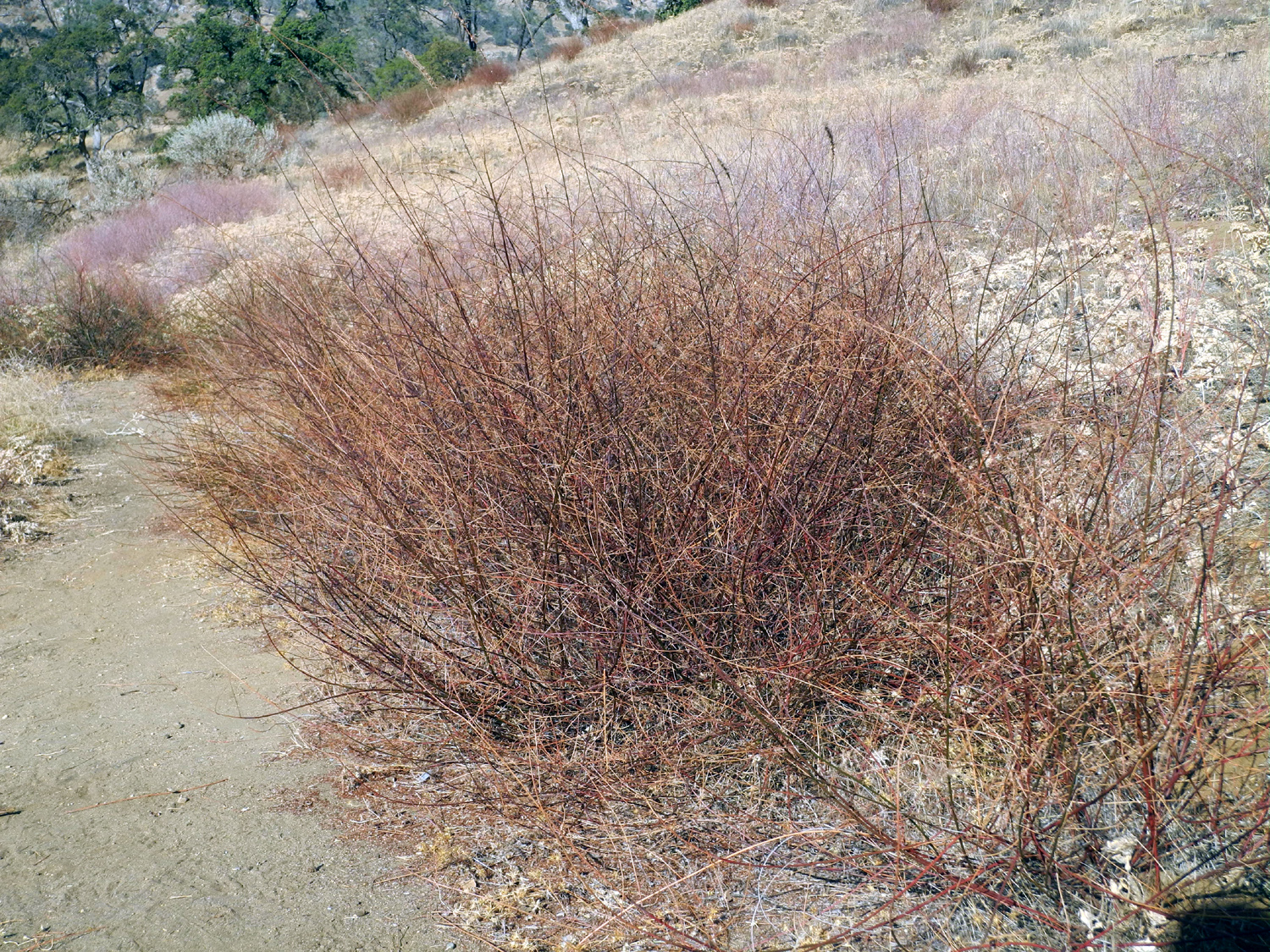
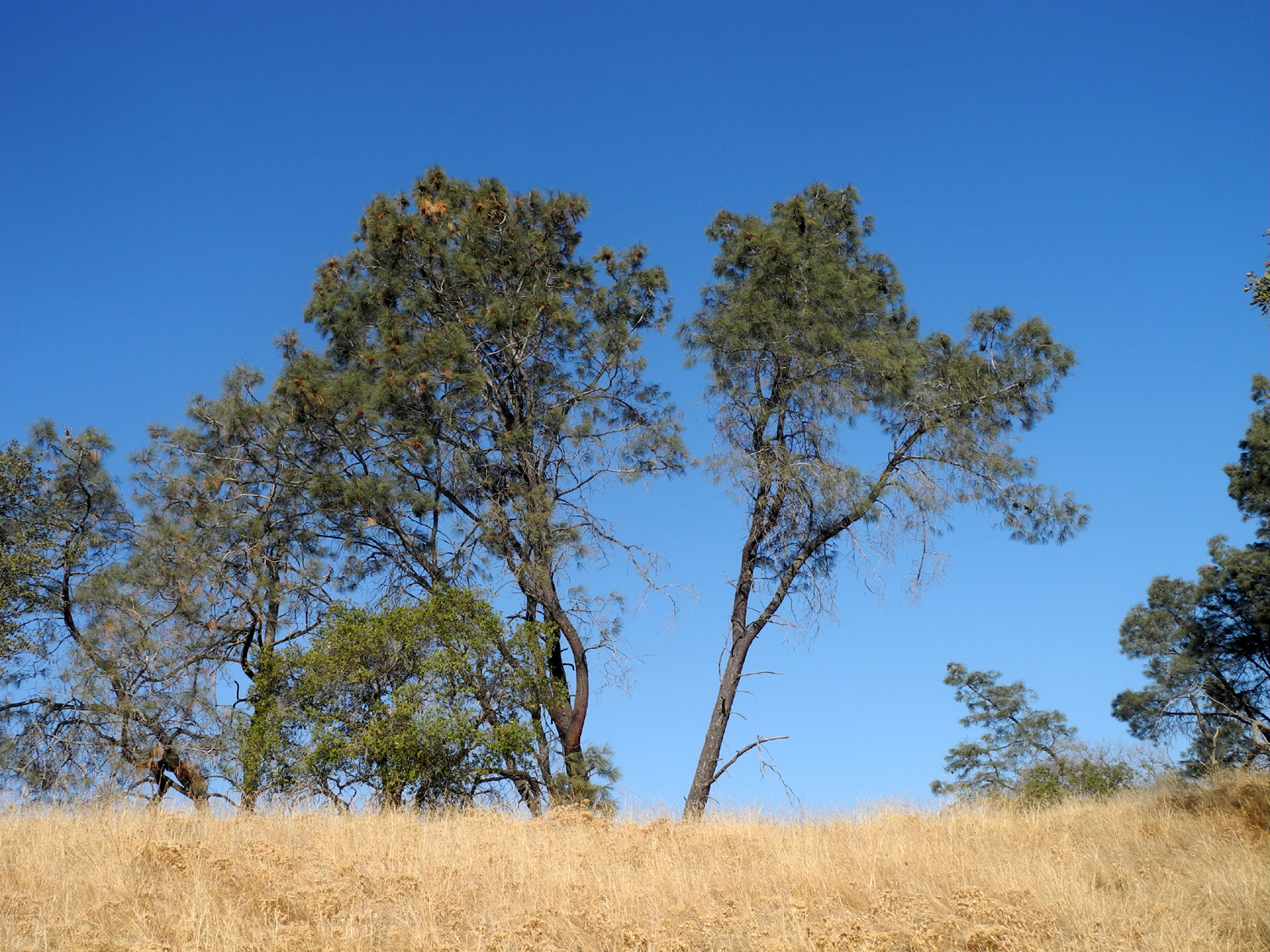
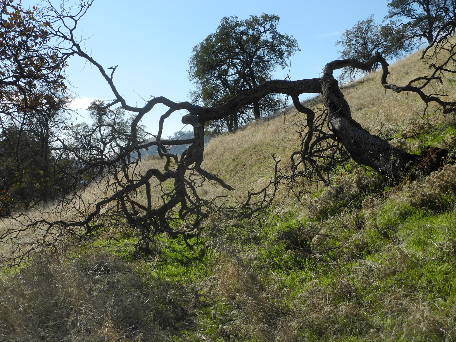
In the spring this area offers a profusion of wildflowers and green grass, but at a time when the first significant rain was still in the unknown future, the hiker must be content with the muted fall colors of dried bushes and plants, along with the "blond" grass of the foothills and the gray-green of the blue oaks. Overall it was a short but enjoyable hike, with ducks and geese on the water, ravens overhead, and deer tracks everywhere on the trail. Since November ended with heavy rain and low elevation snow, my next visit to that area should have some brighter colors. --Dick Estel, December 2019 |
|
|
 |
| Muted colors of fall along the trail | Lichen provides a spot of bright yellow |
 |
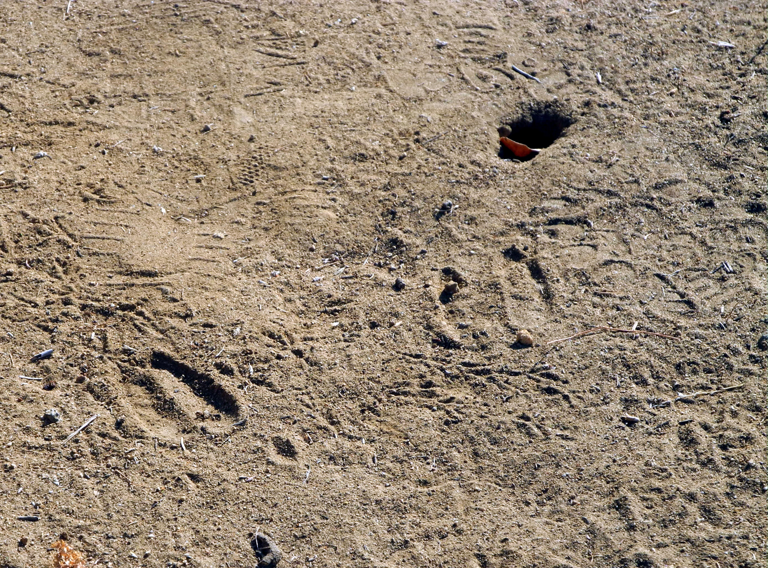 |
| Assorted foothill plants at the end of their season | Deer tracks were everywhere on the trail |
| More Photos | |
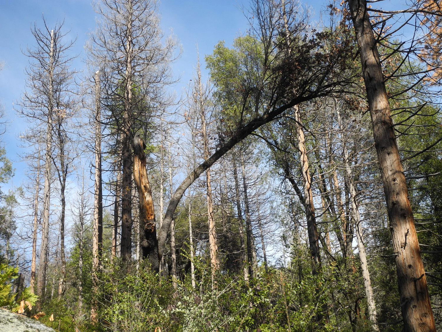
| Return
to Nelder Basin
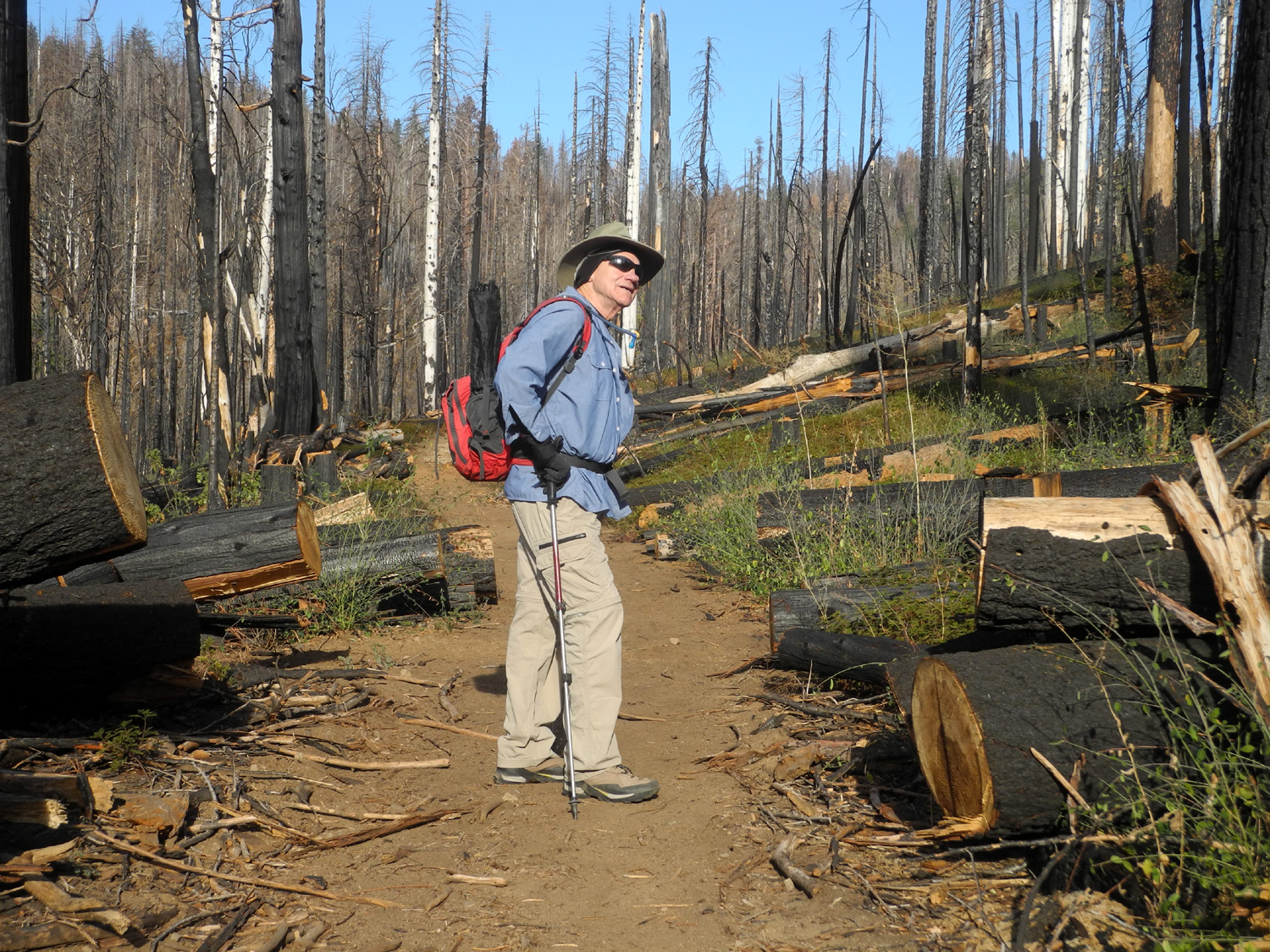
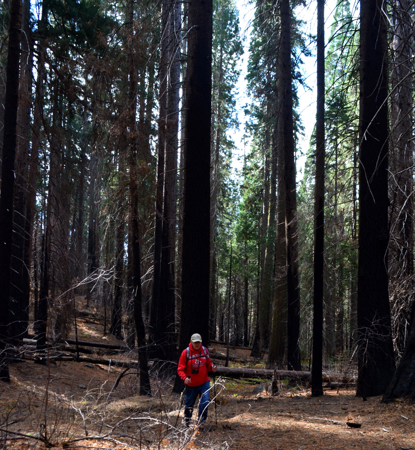
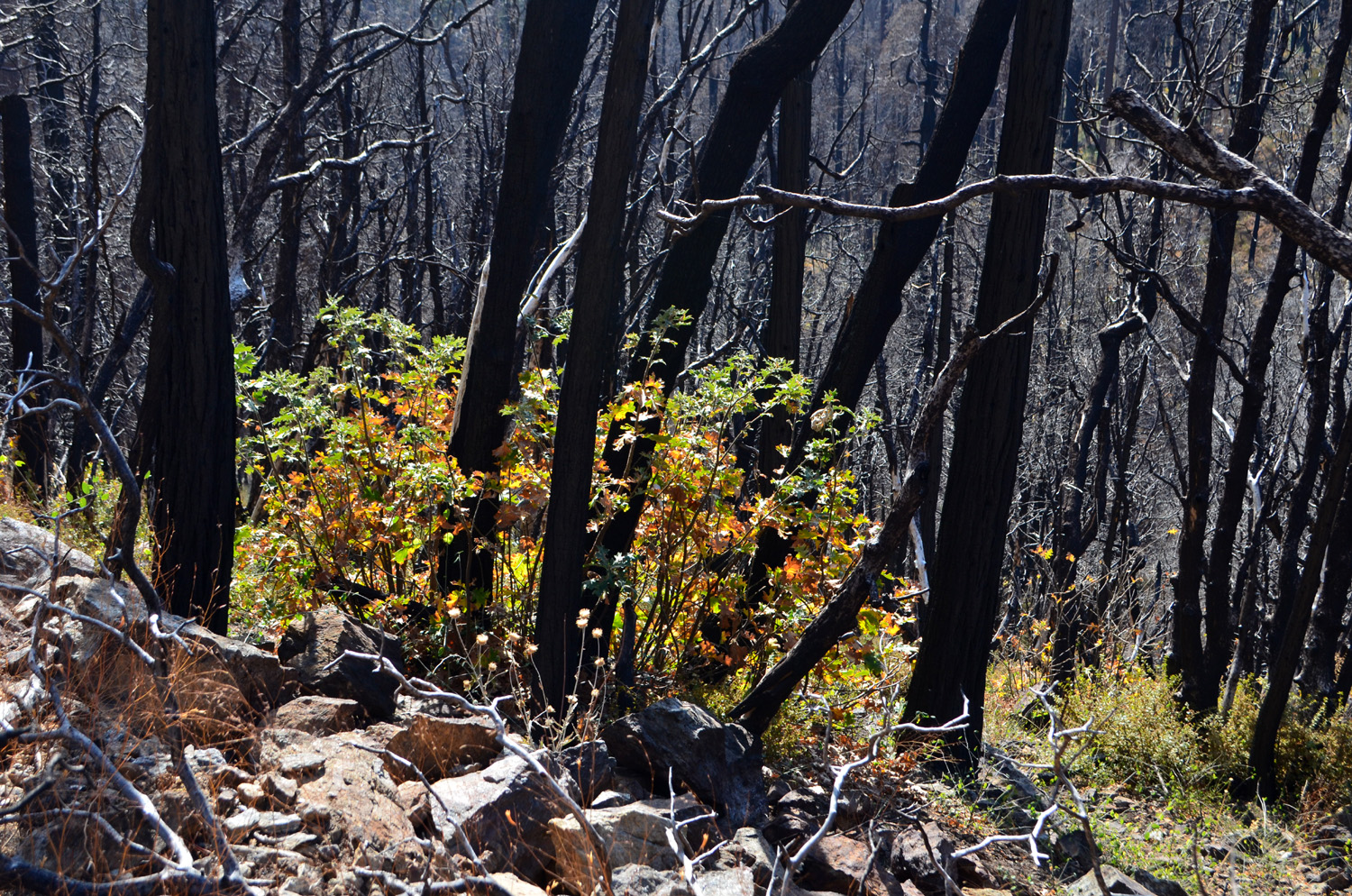
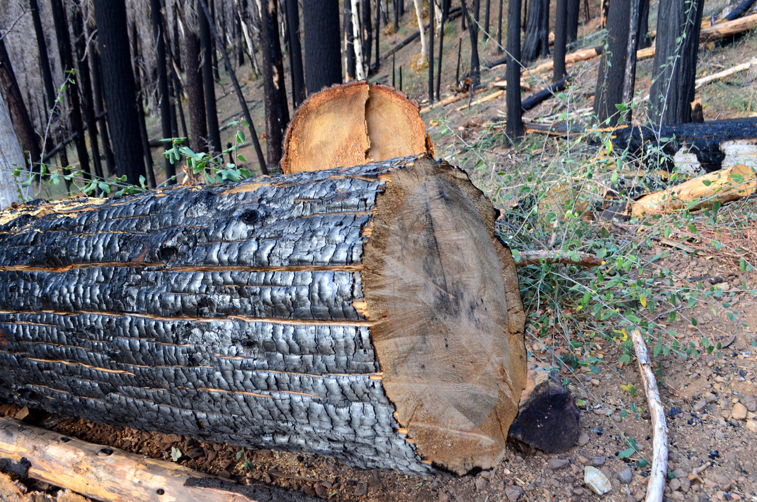
Last November I hiked up the Graveyard of the Giants Trail in Nelder Grove, and into Nelder Basin. I was hoping to find the Nelder Tree, where John Nelder had his cabin in the latter part of the 19th century, but this was not to be. This year I was once again at my daughter's house above Oakhurst, taking care of the cats while they went to Tahoe, so I decided to give it another try. On November 25 my friend, Wes Thiessen from The Ramblers hiking group, drove up from Fresno, and we took his Highlander in to the trailhead. The trail is an old road, no longer drivable, that eventually leads to the Old Granddad Tree, in an area of big dead sequoia snags and stumps from the logging era. A mile from the trailhead the trail crosses Nelder Creek, and up this stream a short distance is Nelder Basin, which contains nearly half the large sequoias in the grove. When the trail was a road we were able to drive up a narrow track along the creek to this area, but in recent years it has been almost impassible due to brush and trees that have grown up in the decades since I first went there. The Railroad Fire in 2017 burned into this area, killing some of the big trees at the creek crossing, but also clearing out a lot of the brush and making access easier. A short distance from the trailhead we entered the burned area, where the fire killed virtually every tree, and the scene is one of mass devastation. These were pines, firs, and black oaks; the first sequoias do not appear until you approach the creek. Since I was there last year, the forest service has cut down dozens of dead trees near the trail for safety reasons. |
|
 |
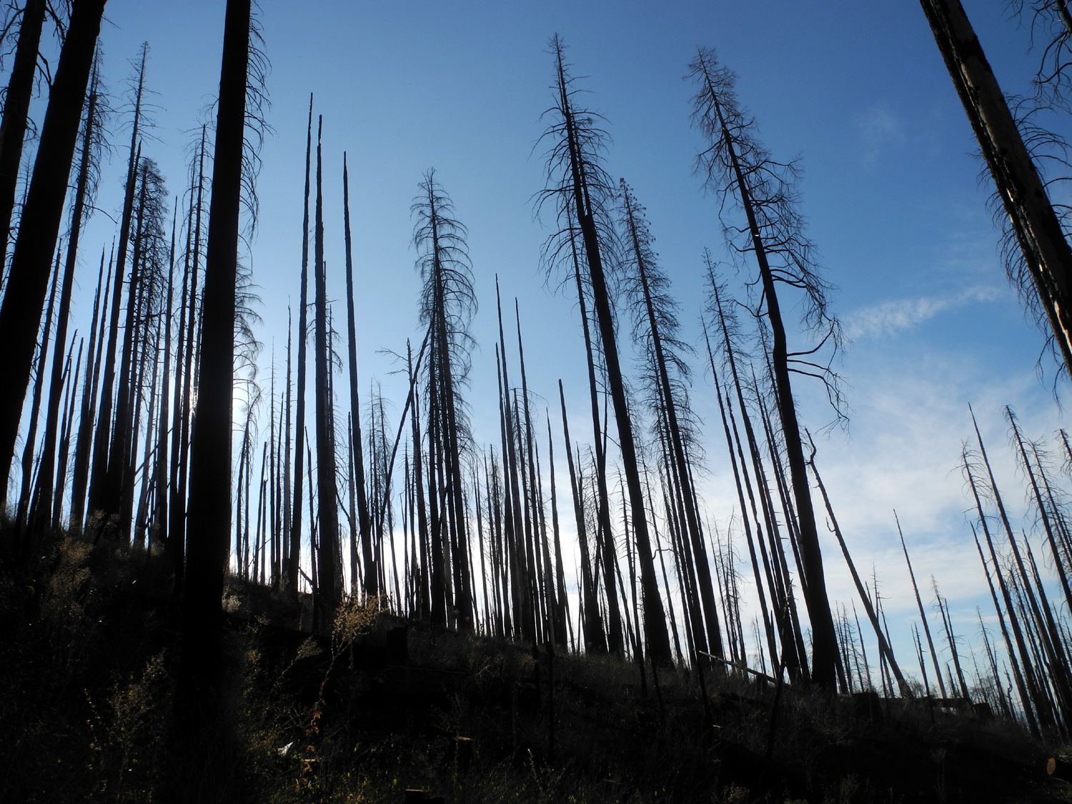 |
| Wes contemplates the aftermath of the Railroad Fire | A devastated landscape |
|
In her book on Nelder Grove, Brenda Negley provides directions to the Nelder Tree, but with no defined trail, they are hard to follow. With landmarks such as a stump and a log, there's no way to know if you are picking the right one. New logs fall every year, but even more problematical is the instruction to walk through "the burned area." This refers to an area where there was a small fire in 2011. The 2017 fire burned through the area as well, and it's impossible to know what the directions are referring to. "Crossing the creek" is another issue, because it splits into two distinct channels. Despite all this, we saw a dozen giant sequoias, more than can be seen in any other hiking area in the grove, and got in some vigorous exercise working our way through the logs, fallen branches, and general forest debris. |
|
|
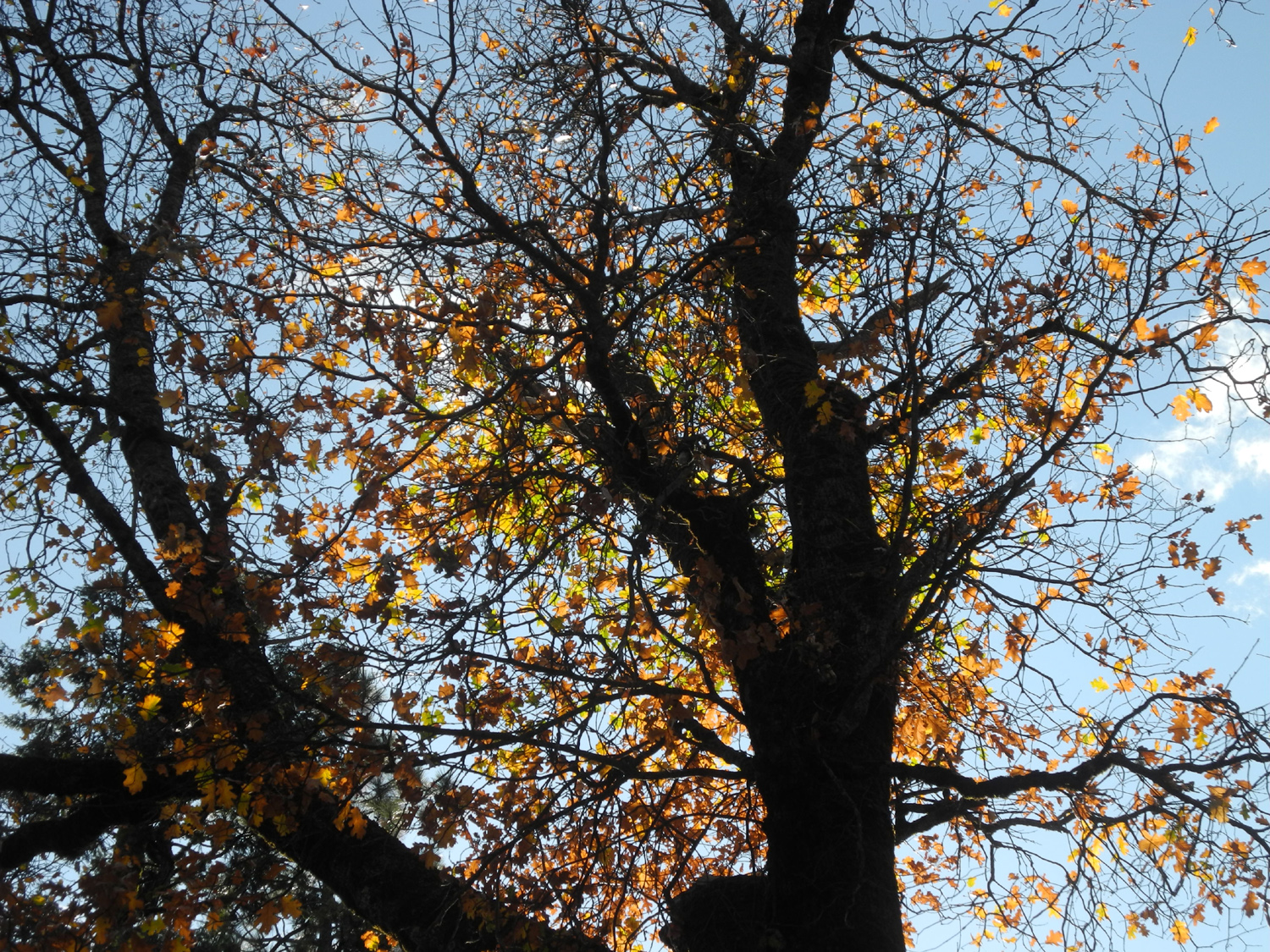 |
| One of the big trees in Nelder Basin | Black oaks were putting on their fall colors |
|
After our hike, which covered three miles in about two hours, we returned to Oakhurst and enjoyed lunch at El Cid Mexican Restaurant, thanks to a gift certificate provided by Rod and Jennifer. Two
days later Oakhurst and everything higher up was covered in snow, so
our next excursion to the grove will have to wait till some time in
2020. --Dick Estel, December 2019 |
|
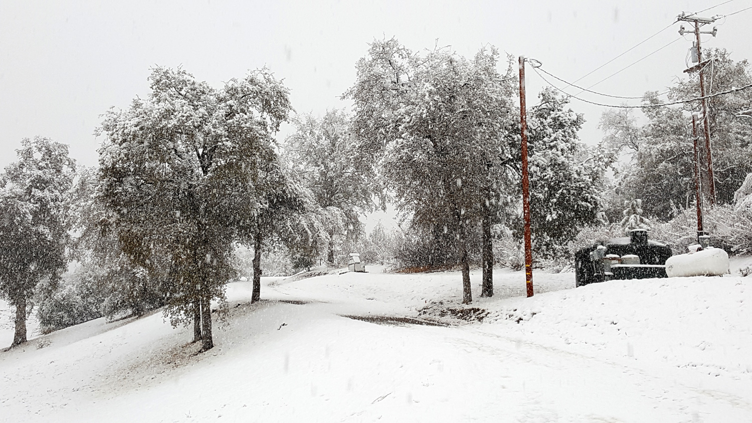
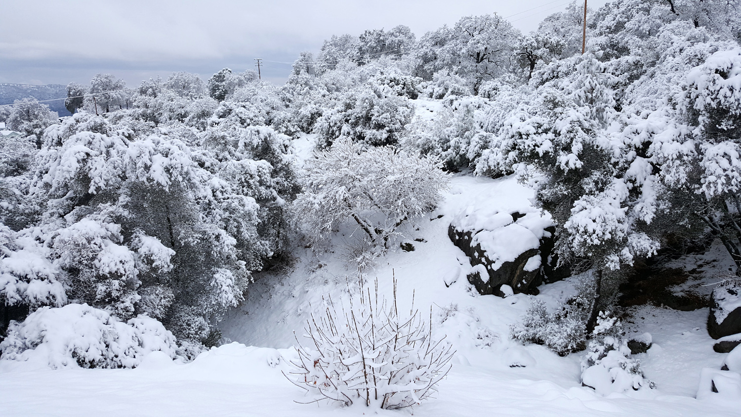
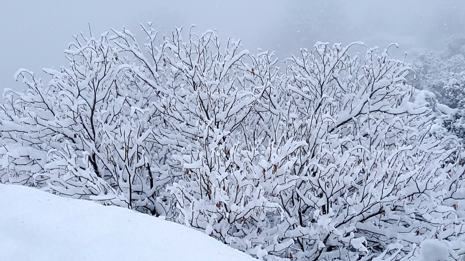
| A
White Thanksgiving
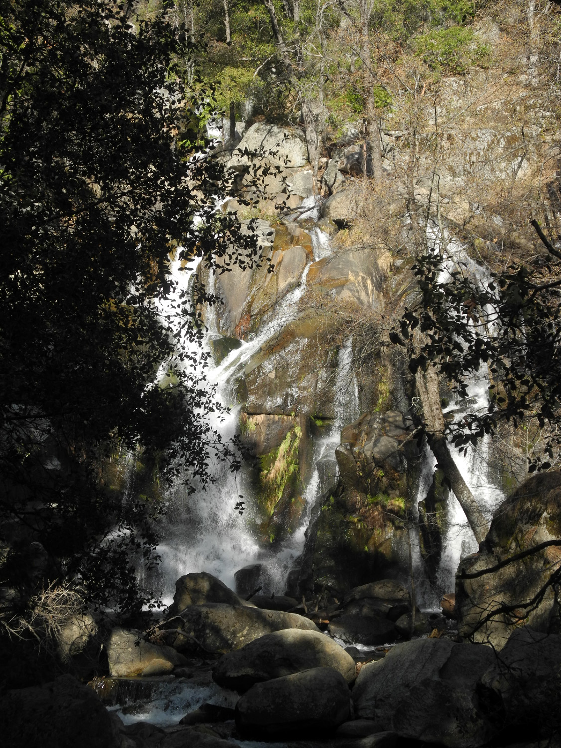
I spent Thanksgiving week 2019 at the home of my daughter and son-in-law, Jennifer and Rod Neely, taking care of their three cats while they enjoyed a vacation at Lake Tahoe. They left Sunday morning and I drove up later that day. They planned to return on Thanksgiving Day, and I would head for home that morning after feeding the cats one final time. Mother Nature does not care what our plans are, and she threw a heavy, low-elevation snowstorm at us, extending both their stay and mine. The snow itself was not a surprise; it had been predicted for a week, but the amount was unusual for their location. The weather was warm and dry the first two days, and I hiked at Nelder Grove with a friend on Monday, as I've reported earlier. On Tuesday I did a couple of short exploratory hikes nearby. I went first to the Lewis Creek Trailhead, walked down to the junction, and took the trail north. This route crosses the creek and goes to Red Rock Falls and eventually to the community of Sugar Pine. As I suspected, the creek was too high and wide to cross safely, and a log across the channel just downstream looked even more dangerous. I then went down the other branch of the trail toward Corlieu Falls, but only went to where I had a view of this eighty foot cascade from above. Next I drove up Highway 41 to a dirt road that goes west and eventually crosses Miami Creek, near a place where we used to camp many years ago. The campground has been closed for 20 years or more, but some dirt bike trails have been developed near the creek, and I saw several riders. I went only as far as the creek, which was running pretty good, then returned to the house. |
|
 |
 |
| Log where some people (not me!) can cross Lewis Creek | Miami Creek |
|
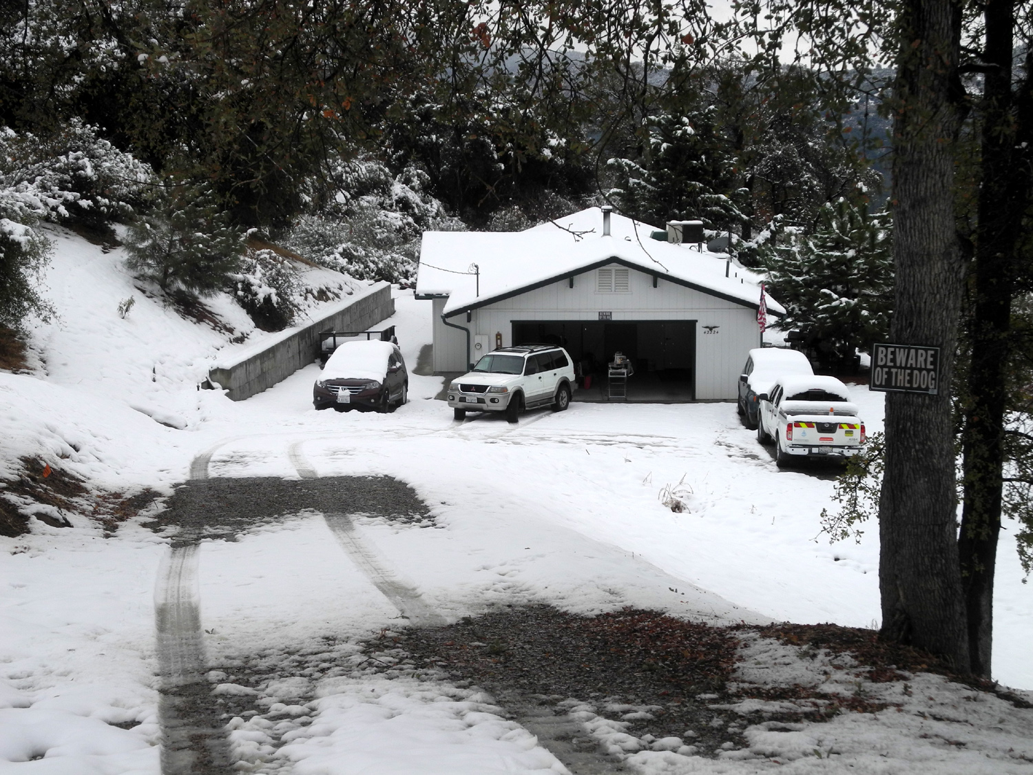
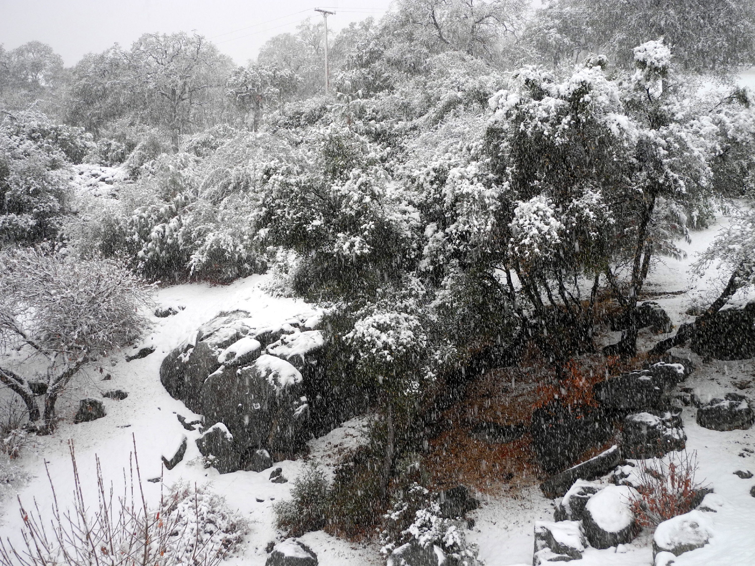
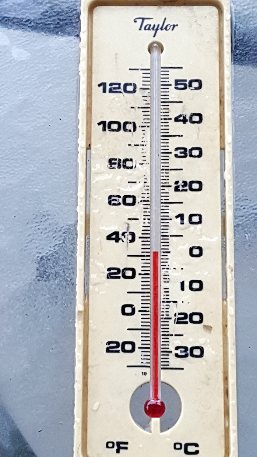
That night I looked outside each time I got up to use the bathroom, and around 2 a.m. I saw that the snow had started. At 3,000 feet elevation, it's rare to see more than a half inch to an inch of snow, but when I got up Wednesday, everything was covered and it was still snowing. When I measured the snow depth with a ruler around noon, there were five inches. |
|
 |
 |
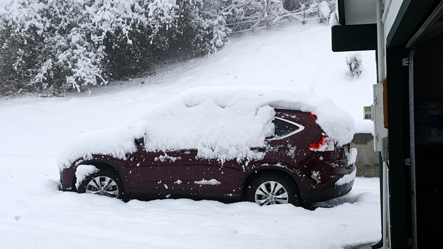
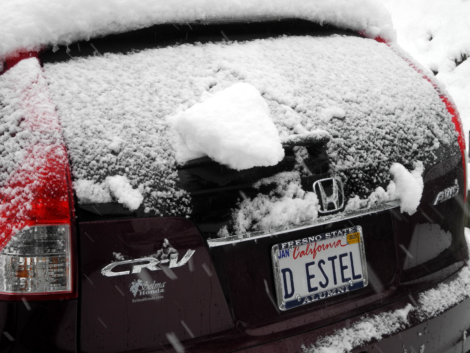
| The view from the Neely patio | My Honda CR-V in the snow |
|
The driveway goes up a fairly steep hill for a hundred yards or so, and with snow continuing, I was not sure I could get out the next day. Meanwhile, there was also plenty of snow in Tahoe, and after conferring by phone and text, the Neely's and I both decided to extend our stay till Friday. |
|
 |
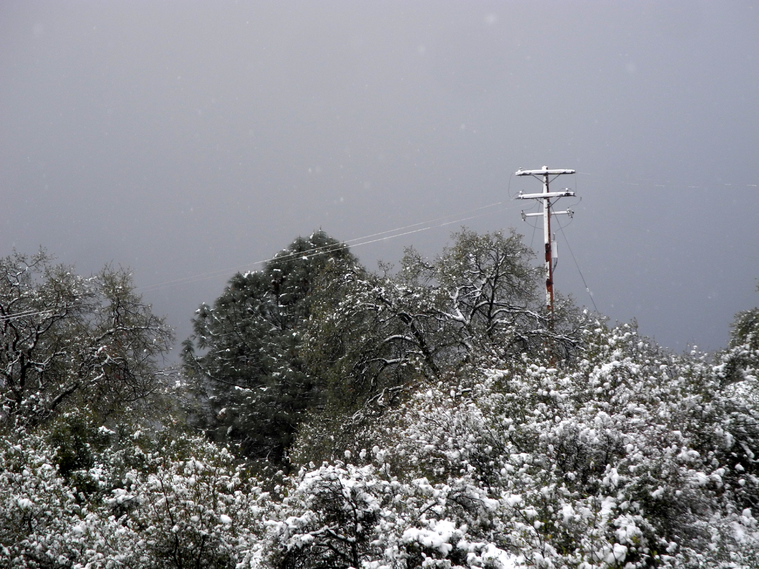 |
| View looking up the driveway | Looking west from the patio |
|
The only really bad aspect of this was that I was not able to go into town and have lunch at one of the many good restaurants in Oakhurst. There was plenty to eat in the pantry and refrigerator, and I spent the day reading, watching TV, and enjoying the fantastic beauty all around me. There was one very positive development. The newest cat, Mr. Bibs, is very friendly, but the two older ones, Pebbles and Bam Bam, are skittish around strangers. I've been able to pet Bam Bam occasionally in the past, but Pebbles usually runs if I'm within ten feet. They are supposed to come in at night, but they have never done so on my previous stays, and I've had to leave food for them on the patio. It's amazing what a constant temperature of 34 degrees or lower will do. All three cats spent most of the day and night inside, and ate their special evening wet food together inside. Bam Bam even slept on my bed with Mr. B part of the night. Pebbles took up a position on my flannel shirt that I had tossed on the couch, and allowed me to pet her briefly several times. |
|
 |
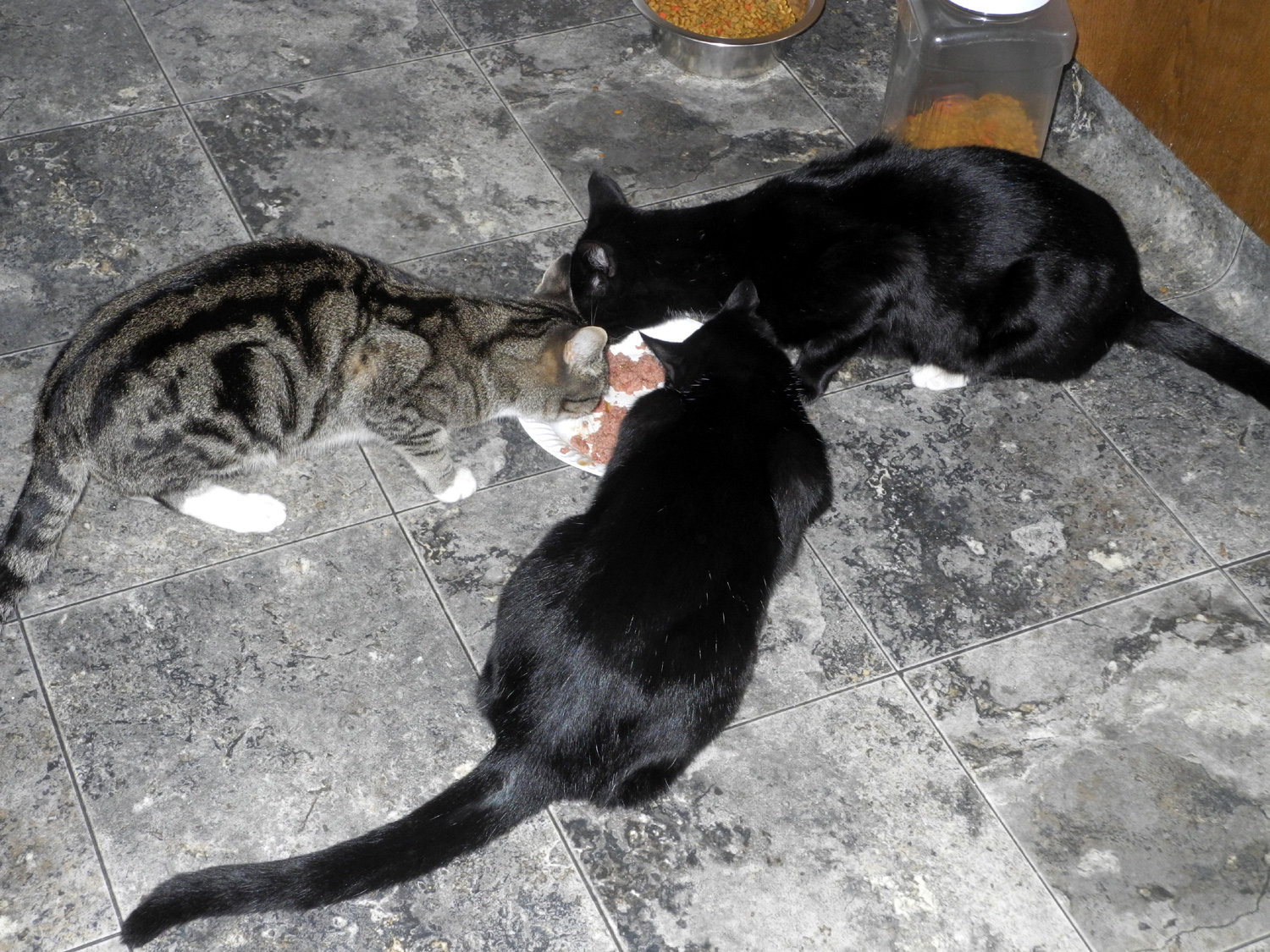 |
| Looking south from the back door | Pebbles, Mr. Bibs, and Bam Bam enjoy Thanksgiving dinner |
|
The forecast called for more snow Wednesday night and Thursday, and after a delay, it fell in great quantities. There was no snowfall during the first part of the night, but by 4 a.m. or so snow that had melted off the cars and elsewhere had been fully replaced. It continued to snow off and on through the day on Thanksgiving, and when I went out with the ruler, an additional six inches had fallen, leaving just under a foot of snow on top of my car. It did not look good for a Friday departure, and I decided to add one more night to my stay. Rod and Jennifer would start home Friday morning, so I would get to visit with them for the evening. They got home about 6 p.m., bearing pizza, so we had a nice supper and Rod built a fire in the wood stove. |
|
 |
 |
| What snow slid off the car from the first storm was more than replaced | Looking down into the drainage west of the house |
|
I had not been in the mountains when it was actually snowing for close to twenty years, and had not been in that much snow for even longer. I had a warm, comfortable place to stay, the power stayed on, and if it was a "three cat night," I had the appropriate number of cats. I was thankful for the experience and greatly enjoyed the winter beauty. Saturday morning Rod drove out ahead of me as far as Highway 41, but I made it safely up the hill, down past the snow level at 2,000 feet, and home.
|
|
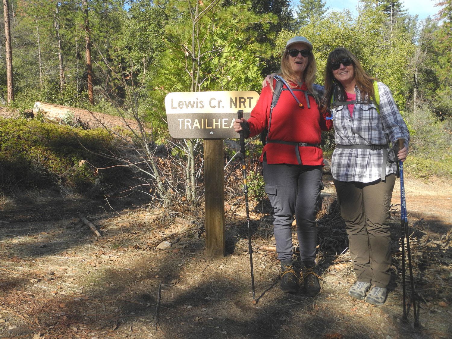
| Lewis
Creek Trail
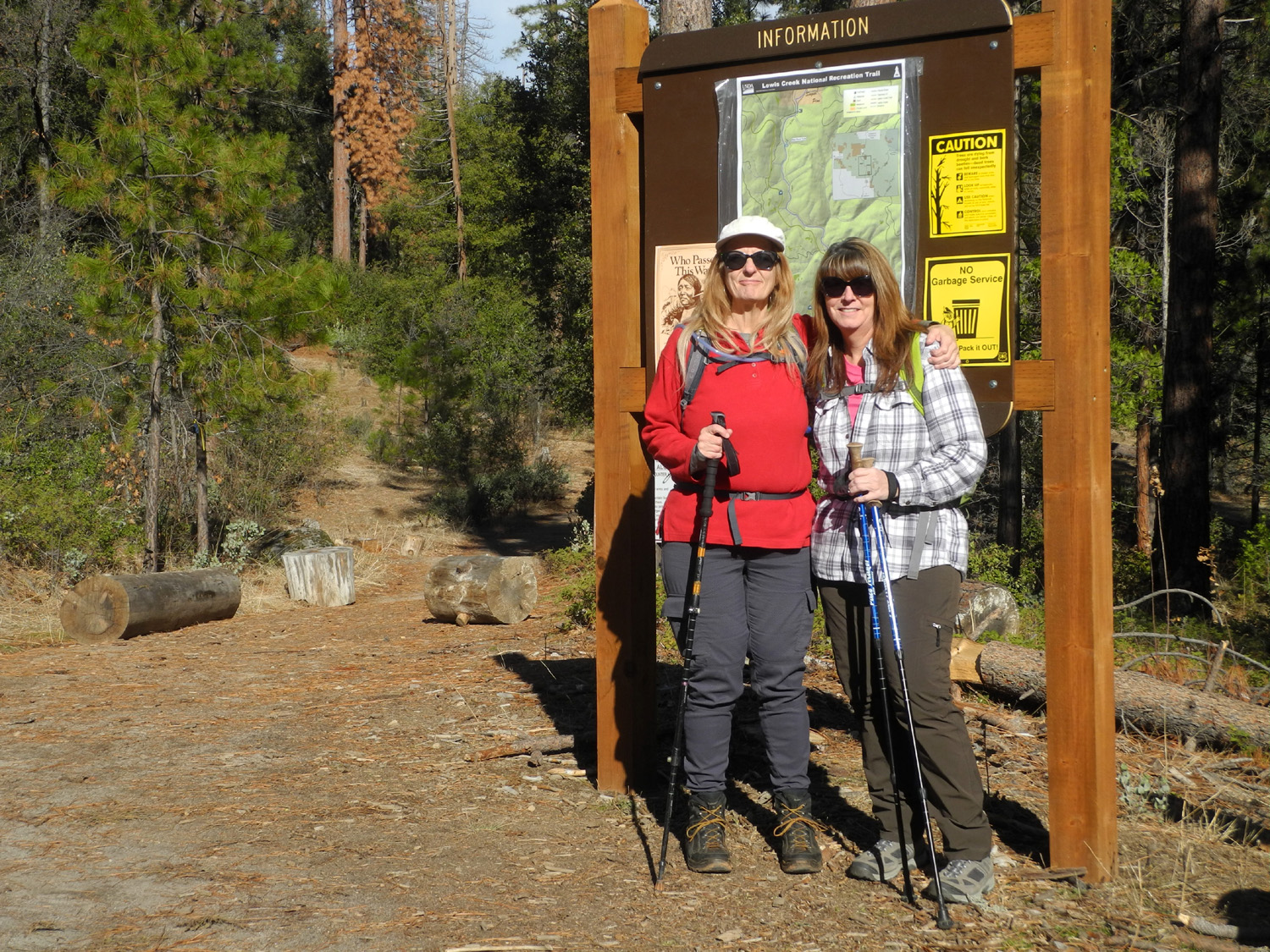
On the last day of 2019 I had the rare opportunity to hike with both my daughters. We live in three different locations, and with their busy lives, we are lucky to get in one hike per year with all three of us. On December 31 Teri and I drove from Fresno to Jennifer's place near Oakhurst. We then took her car and mine to the Lewis Creek trailhead, about five miles up Highway 41. Leaving Jennifer's car there, we drove back down the highway and to Cedar Valley Road, which leads to the "downstream" trailhead. |
|
 |
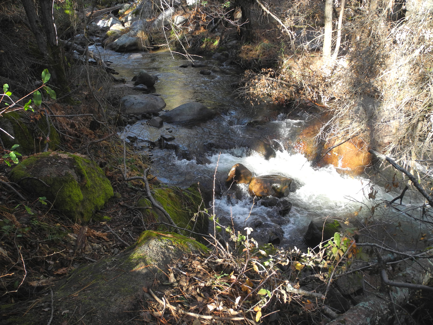 |
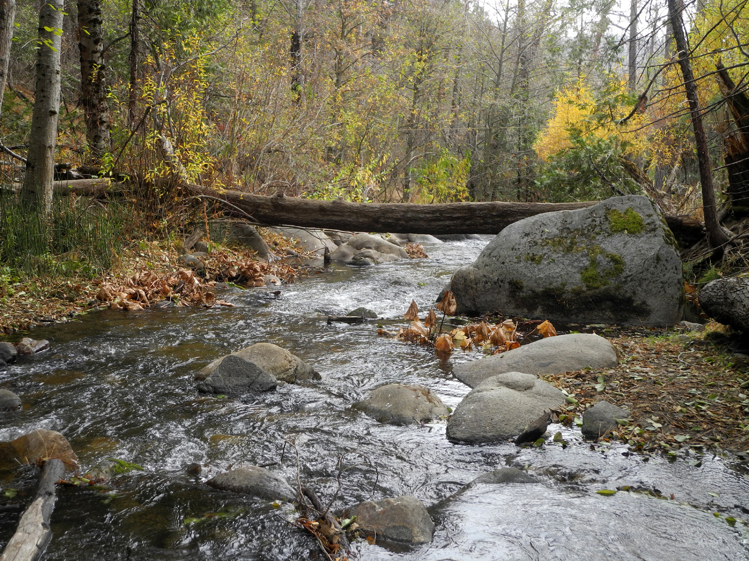
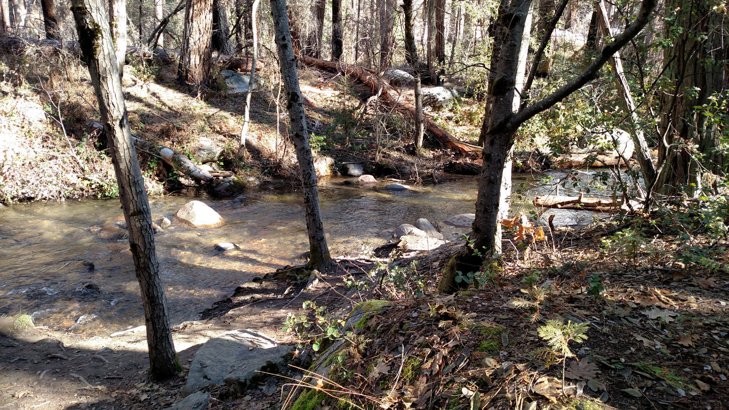
| Teri and Jennifer ready to tackle the trail | Lewis Creek had a strong flow of water after an early storm |
|
All of us had hiked the short distance from the Highway 41 trailhead to Corlieu Falls, but we had not hiked from the other end. This route goes up and down and gets close to the creek after about the first half mile. From one end to the other the elevation change is 500 feet, but with a number of stretches that went down hill then back up, we probably climbed at least 800 feet. The terrain is a forest of pine, fir, cedar and oaks, plus many smaller shrubs and bushes. We had to make our way over or around trees across the trail in a few places, but for the most part it was not a difficult hike. |
|
 |
 |
| Drought and beetles have been rough on some of the evergreens | Teri and Dick by the creek |
|
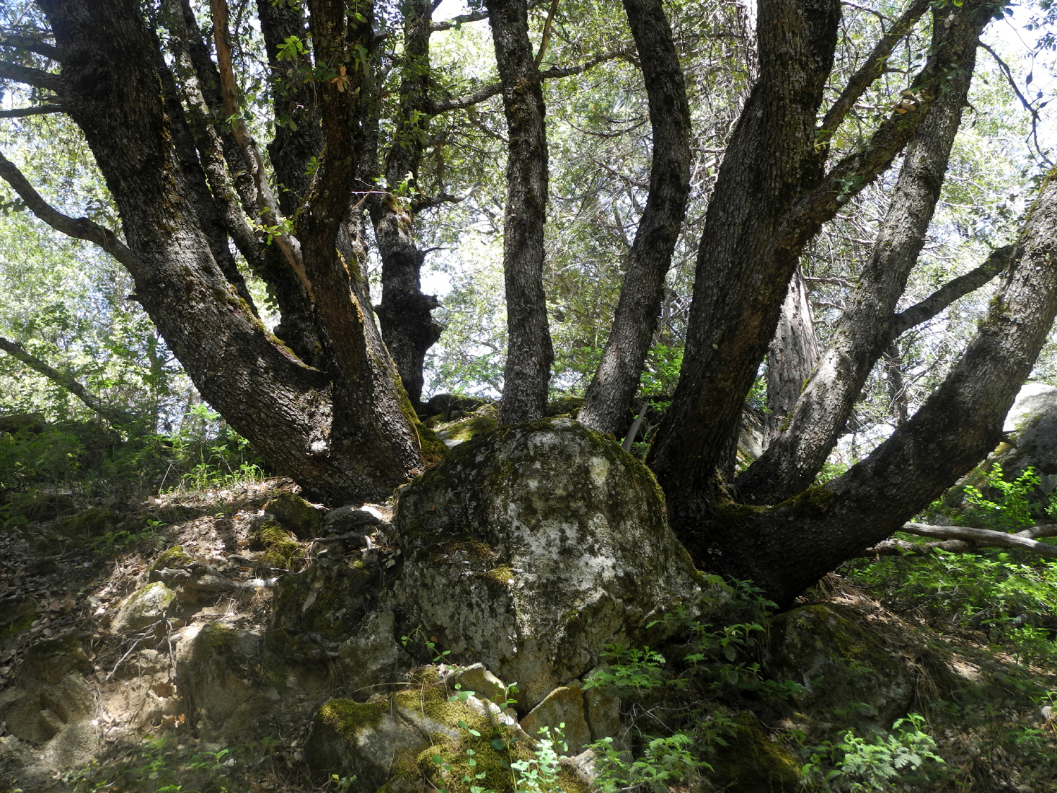
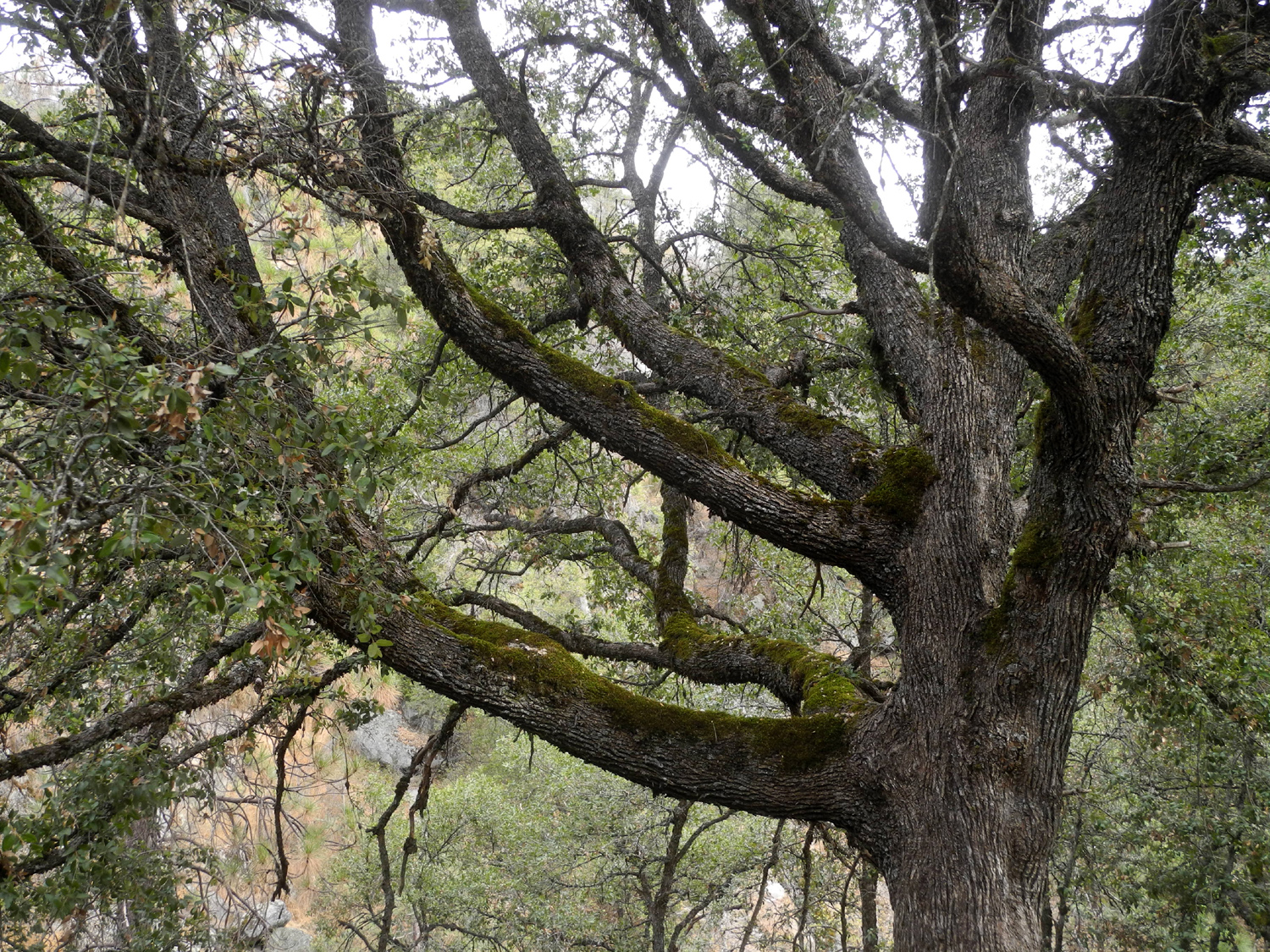
There were a number of other parties hiking in both directions, including a large group of ten or fifteen, including young kids who made us feel old by running up hill. Although the total hike was only a little over a mile and a half, we were all asking "when are we going to get to the falls?" It was a relief to spot the big multi-trunk canyon live oak that we knew was just below the base of the falls. |
|
 |
 |
| Jennifer and Dick enjoying a well-earned rest | The falls from the trail west of the cascade |
|
We
made the final climb up to the viewing platform, enjoyed a brief
rest, then finished the steep climb to the trailhead and Jennifer's
waiting Jeep. After returning to Cedar Valley to get my car, we
rewarded ourselves with lunch at El Cid, Oakhurst's premiere Mexican
restaurant. --Dick Estel, January 2020 |
|
| Photos (Click to enlarge; pictures open in a new window) | ||
|
Buffin Meadow Hike Goat Meadow Camp Finegold North Trail Nelder Basin White Thanksgiving Lewis Creek Trail |
||
|
Buffin Meadow Hike |
||
 |
 |
 |
| It took three tries, but I finally hiked this trail | Trees in the area
include, cedar, pine, fir, and black oaks |
It's not hard to get past this "barrier" |
|
 |
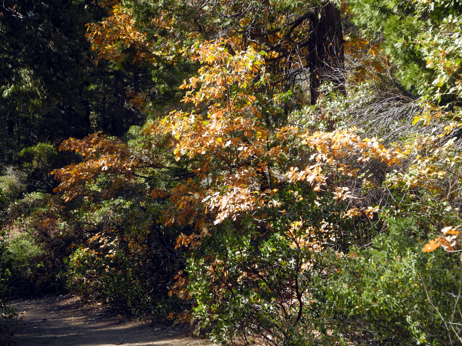 |
| Big boulder by the trail | This tree was about 35 years old when it was cut | Fall color along the meadow access route |
| Goat Meadow Camp | ||
|
 |
 |
| Black oak leaves lit up by the sun | This appears to be an ancient cedar stump, probably from Madera Sugar Pine, ten feet in diameter | Camping in the oaks and evergreens |
 |
 |
 |
| The water truck made two passes each day | One of eight daily log trucks | A little known road
into Yosemite National Park (with a locked gate) |
| Finegold Trail North | ||
 |
 |
 |
| Color at this season
comes from the red stems of this plant |
Bull pines on the ridge above the lake | Buckeye along Sky Harbor Road |
 |
||
| The cove at Sky Harbor | ||
| Three more photos from a hike December 19 | ||
 |
 |
 |
| The lake from the west end of the ridge | This
oak tree fell across the trail since my November 21 visit |
Big clump of dried grass |
| Nelder Basin | ||
 |
 |
 |
| Nelder Creek below the trail crossing | Wes at the charred
base of the Leaner Tree (the tree is not fatally damaged) |
Dick in Nelder Basin |
 |
 |
|
| The burned forest starts its long, slow recovery | Trees that might
fall across the trail have been cut down |
|
| A White Thanksgiving | ||
 |
 |
|
| Canyon live oak by the Lewis Creek Trail | The temperature at 9 a.m. Wednesday, November 27 | The house from the top of the driveway |
 |
 |
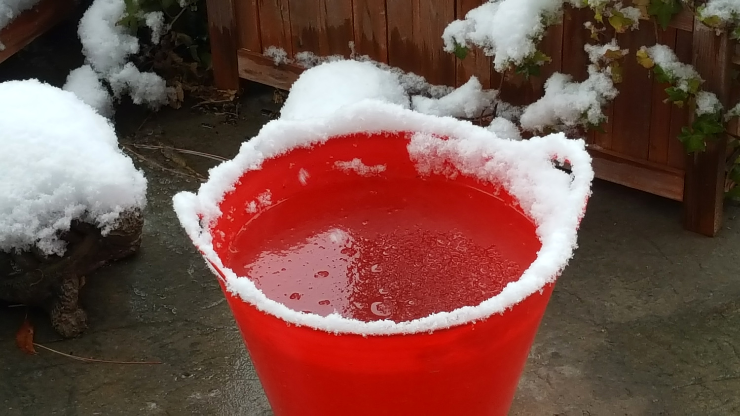 |
| Snow piled up on my rear windshield wiper | Snow on pine tree near the house | Water in the cats'
bucket had the consistency of a strawberry margarita |
 |
 |
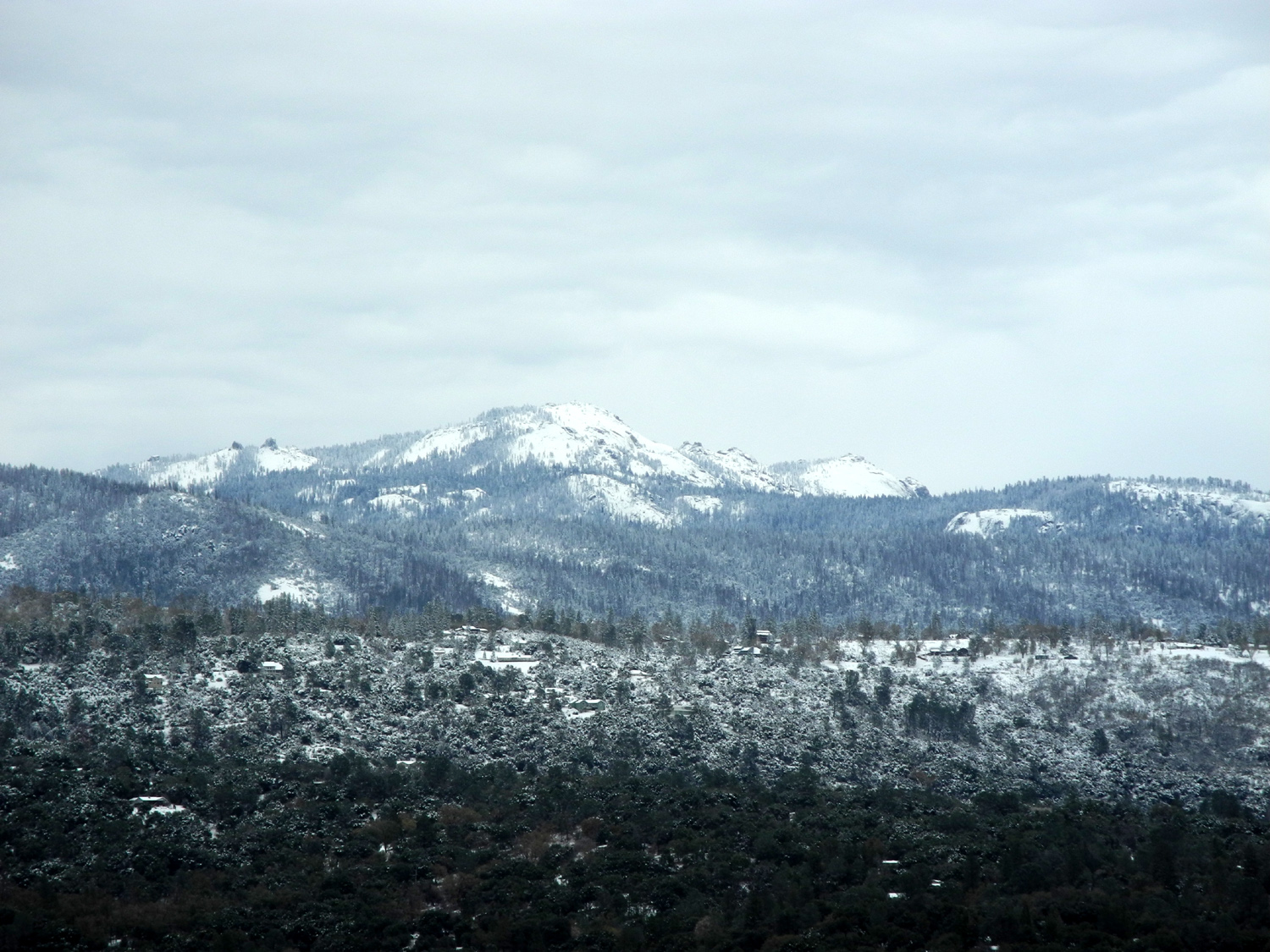 |
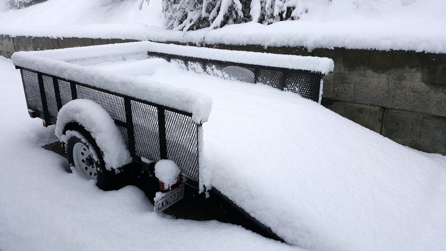
| Buckeye below the patio | A trailer load of snow | Shuteye Peak east of Oakhurst |
| Lewis Creek Trail | ||
 |
 |
|
| A quiet stretch of the creek | Corlieu Falls from the viewing platform | Teri and Jennifer at the Highway 41 trailhead |
| Related Links | ||
| Fish Camp | Goat Meadow Snow Play Area | Yosemite Trails Pack Station |
| Buffin Meadow Map | El Cid Mexican Restaurant | Goat Meadow Snow Play Area Again |
| Camping at Goat Meadow | Lake Millerton | San Joaquin River Trail |
| Friends of Nelder Grove | Dick's Nelder Grove Photos | El Cid Mexican Restaurant |
| Brenda Negley | Dick's Nelder Page | Nelder Tree |
| Lewis Creek Trail | Corlieu Falls | Miami Creek OHV Area |