NEW Stargazer Rock Campout 2017 |
||
 |
 |
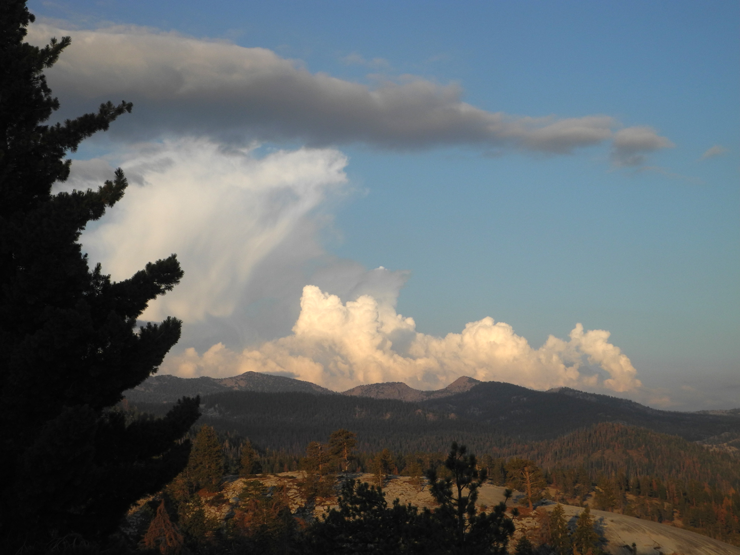 |
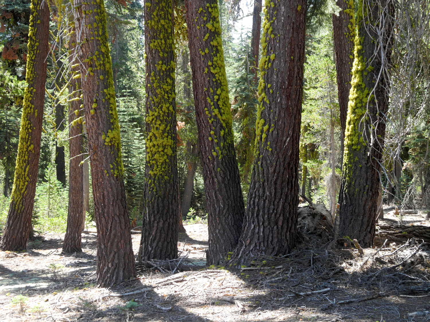
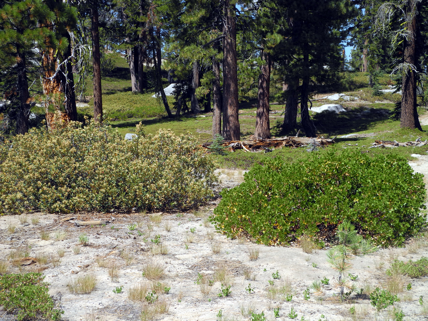
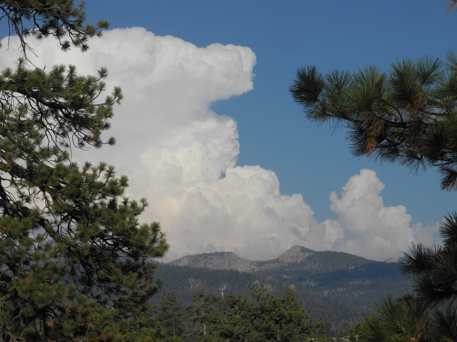
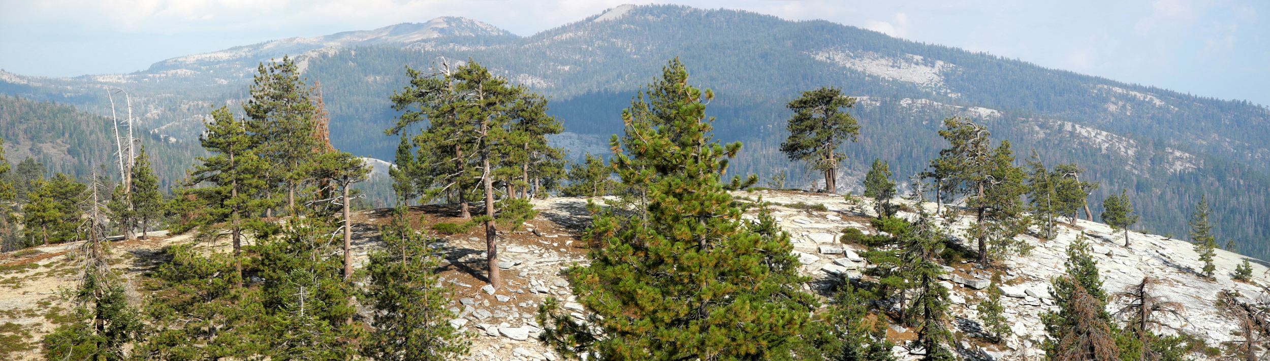
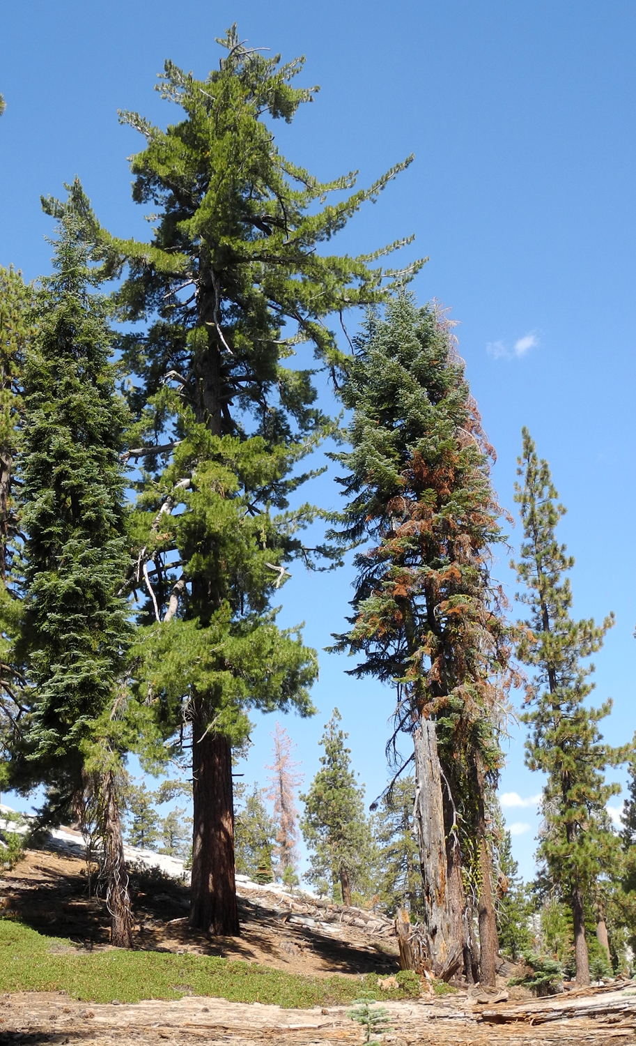
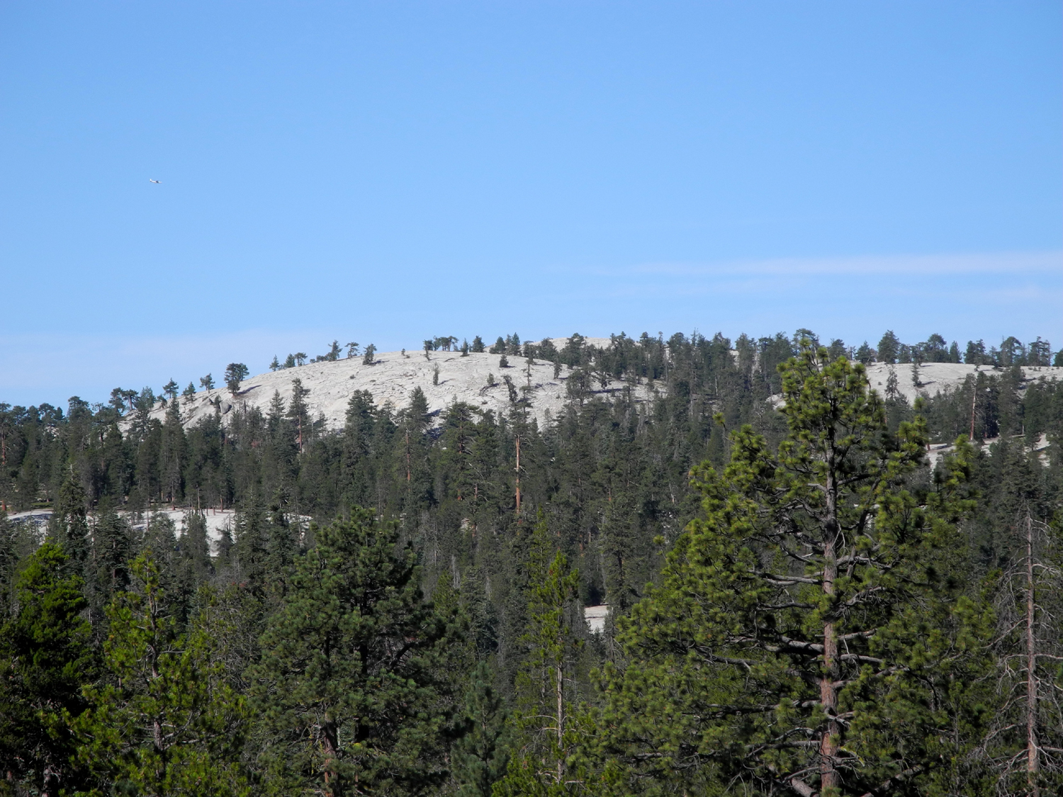
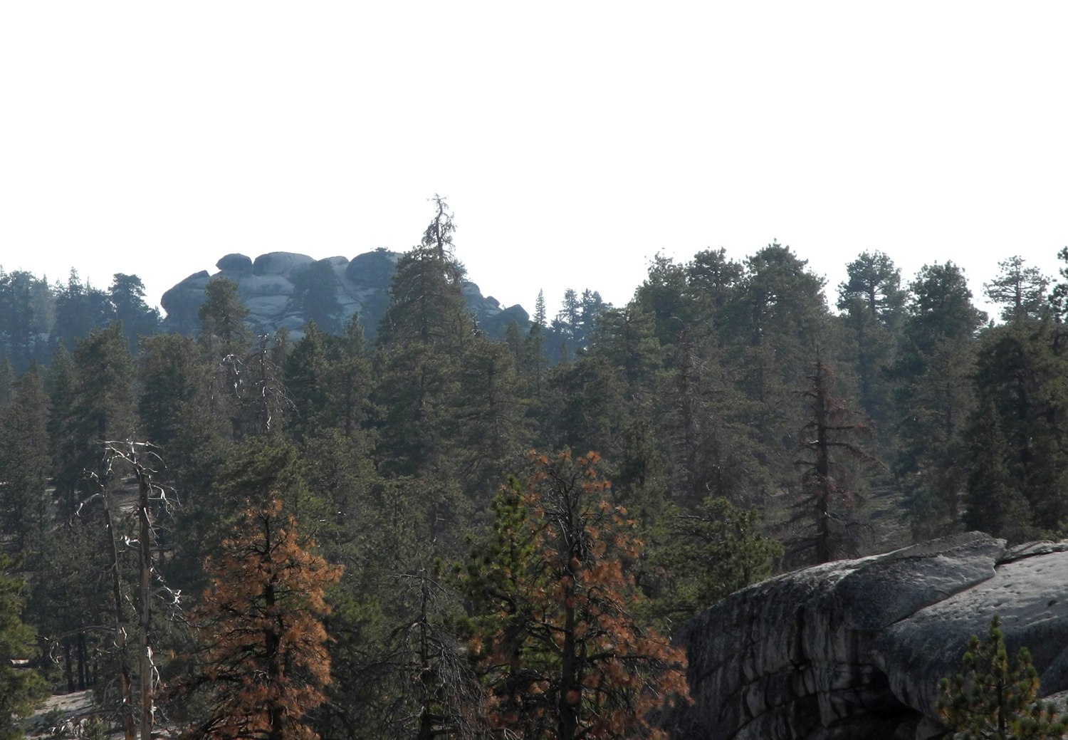
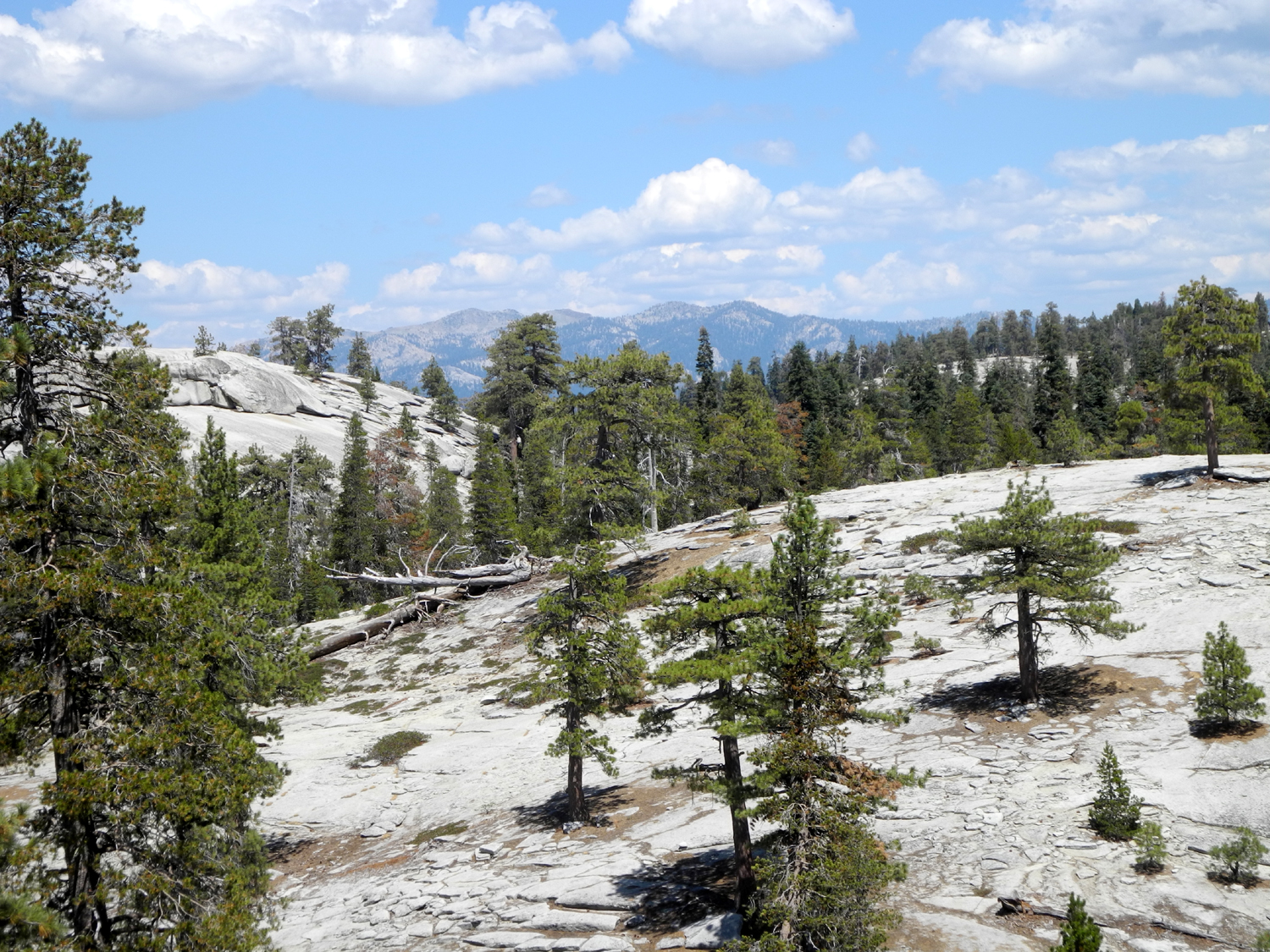
| A land of domes, domes in progress, and amazing rock formations | Red fir forest | Evening clouds east of camp |
|
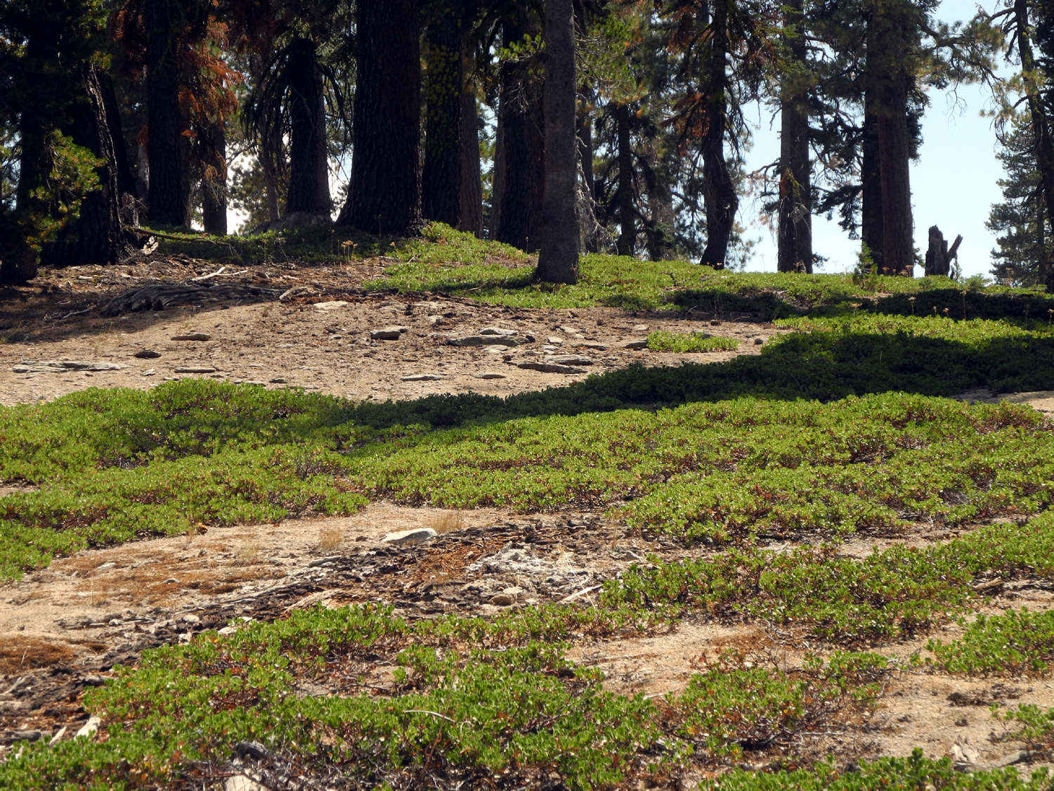
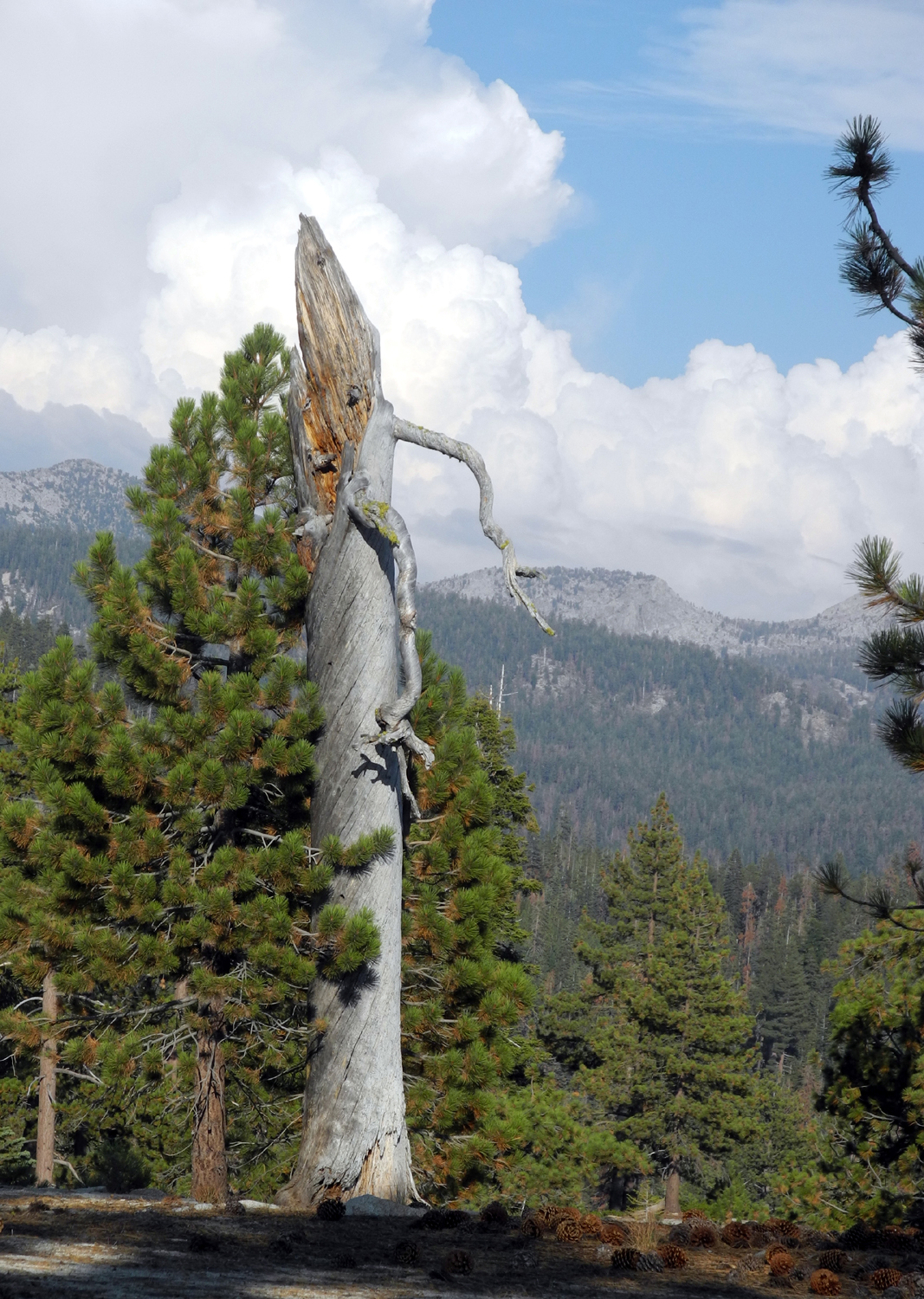
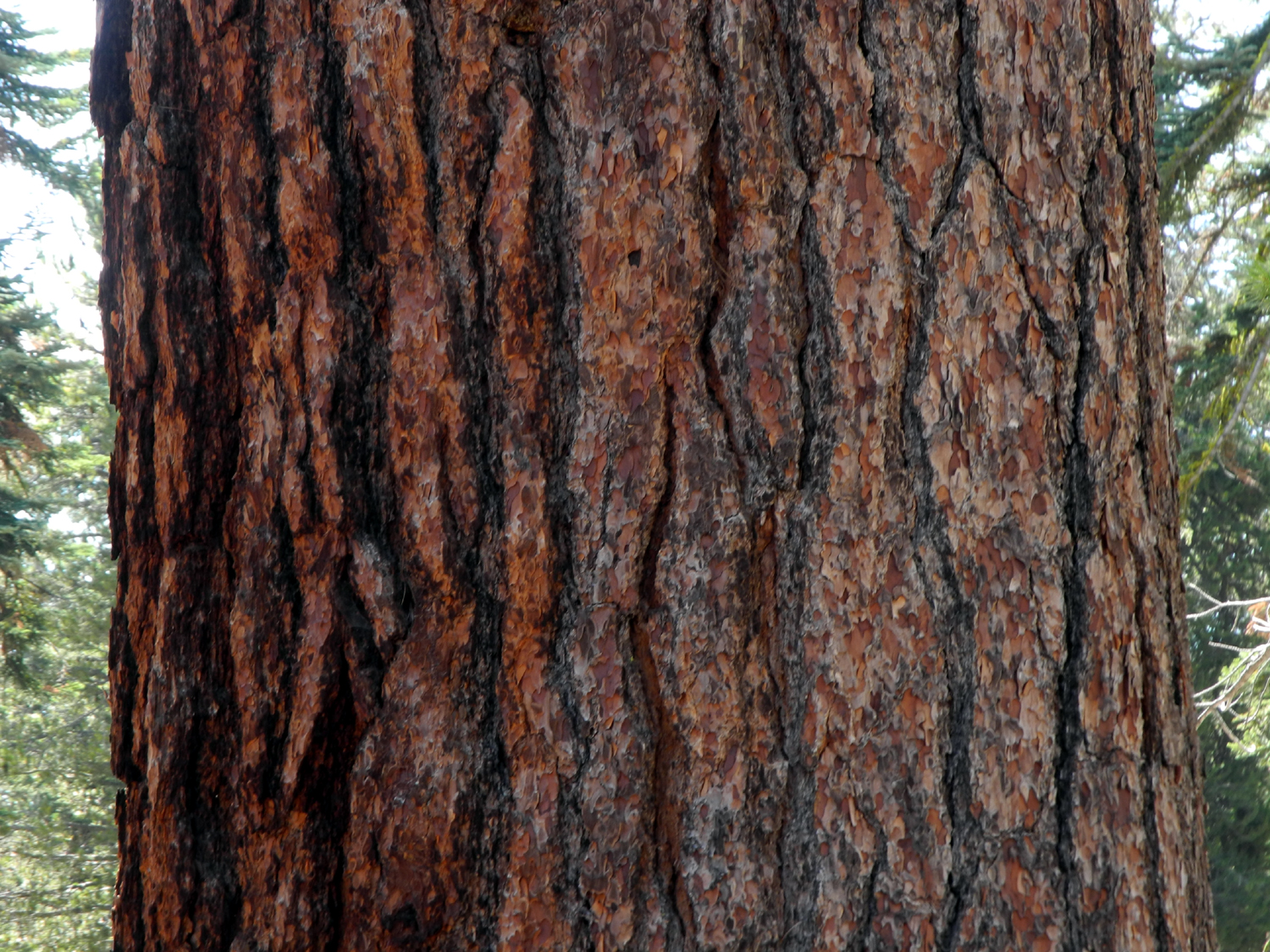
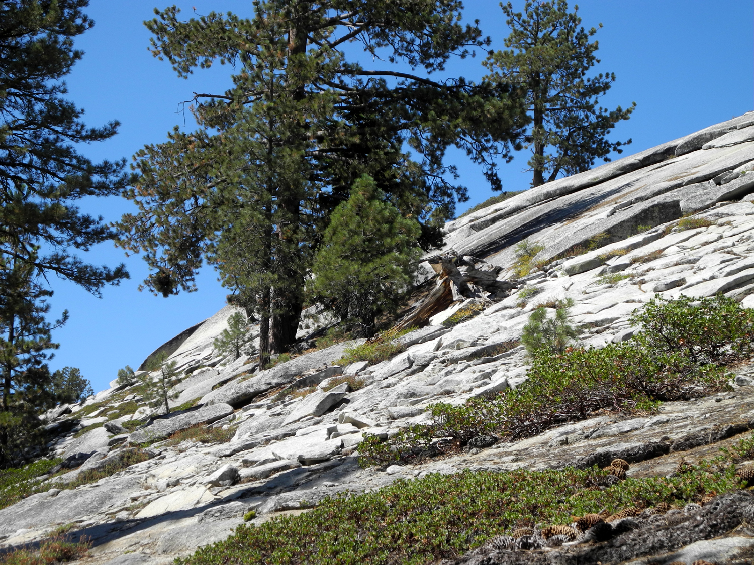
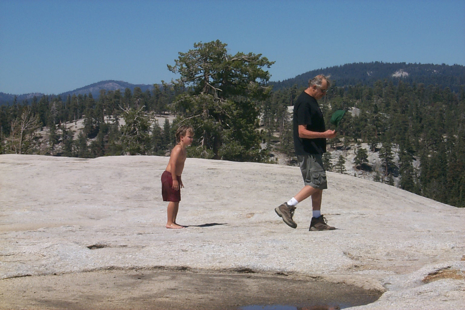
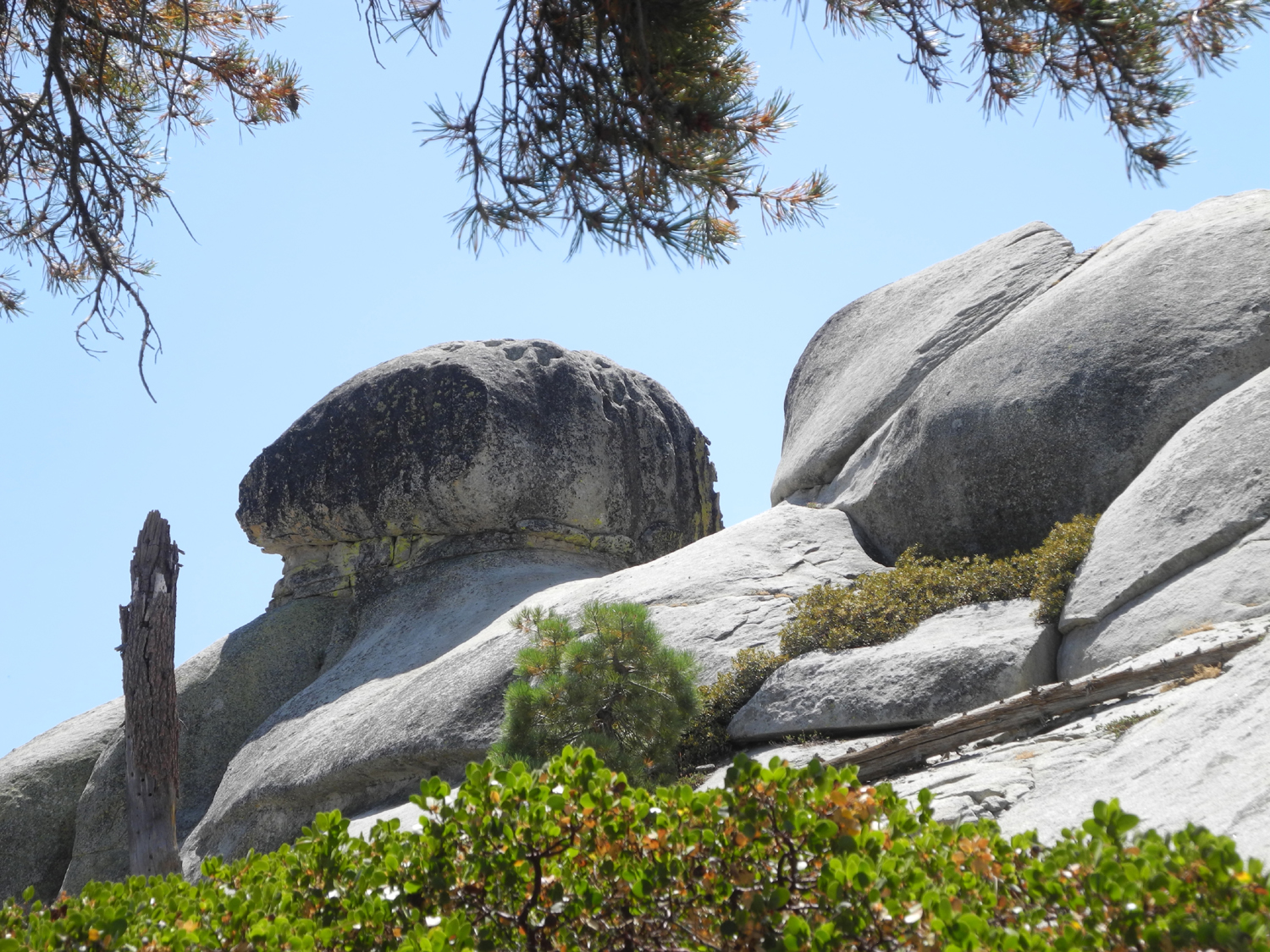
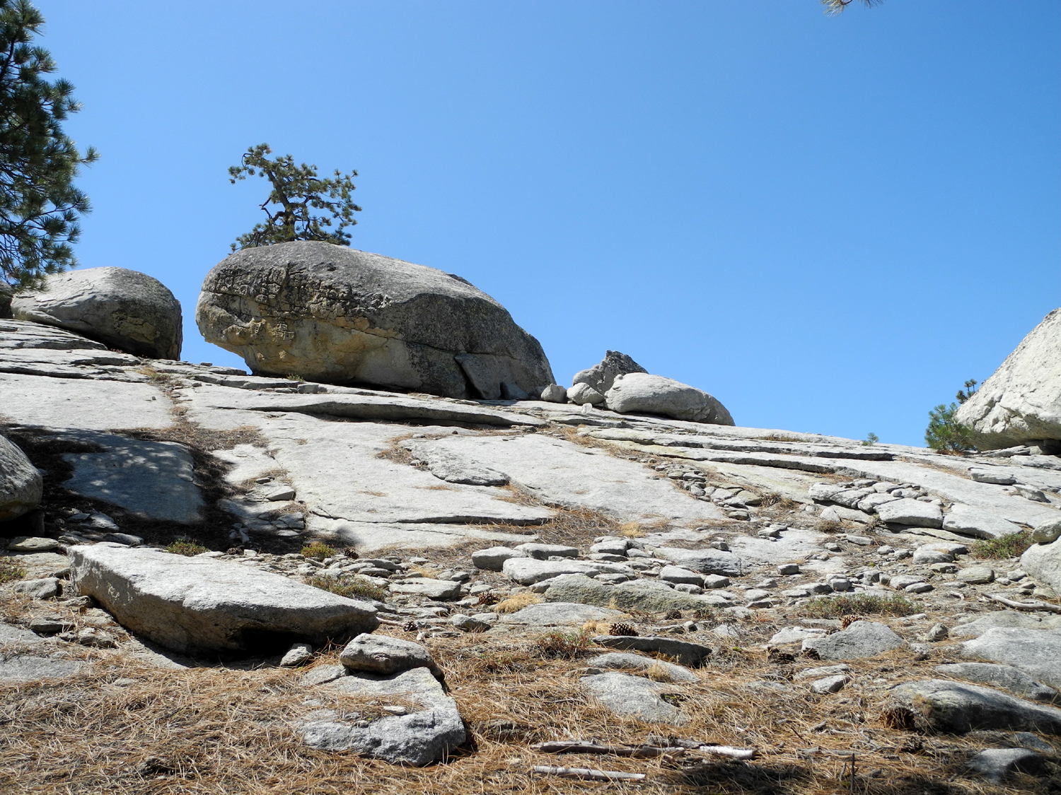
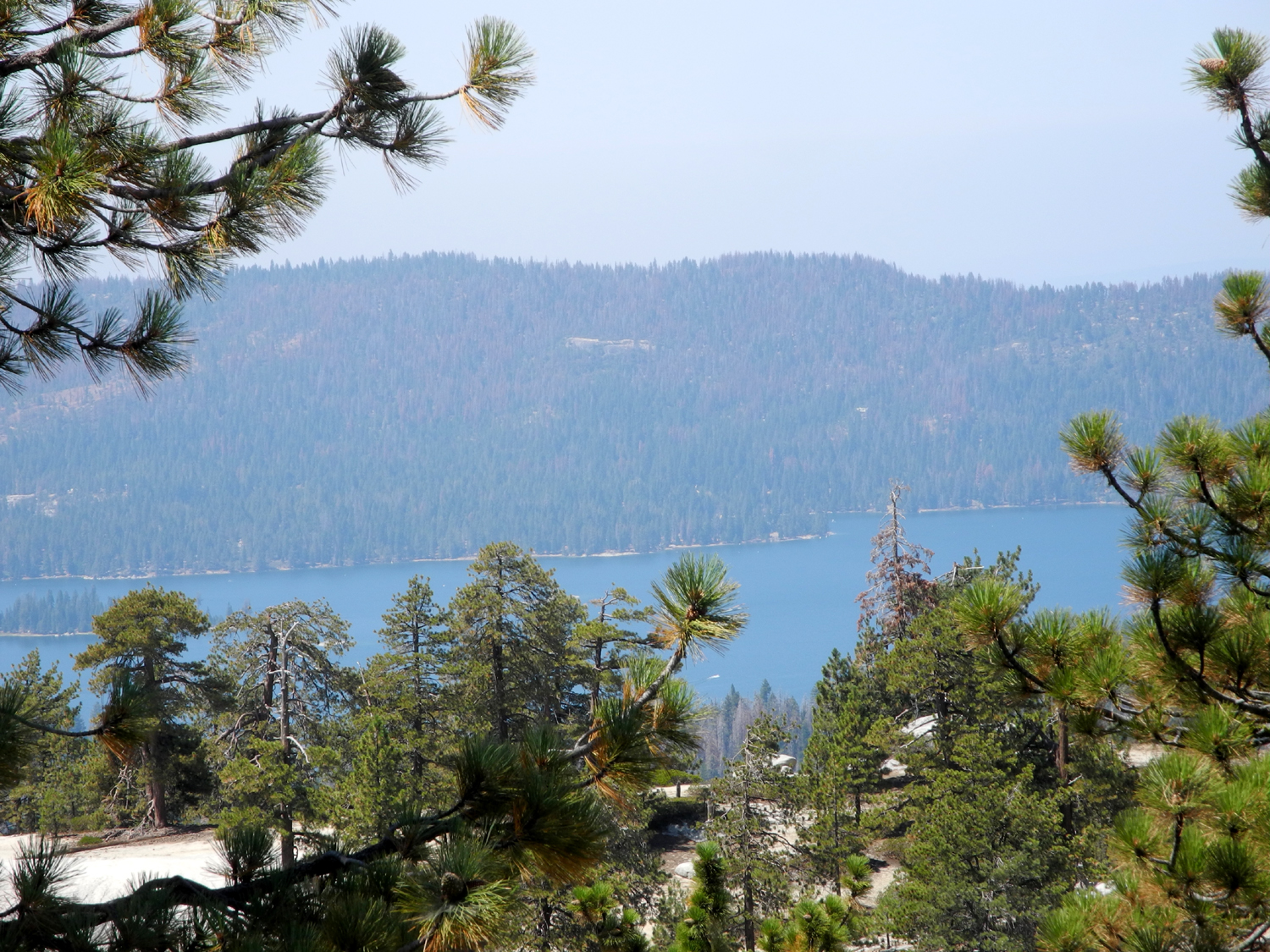
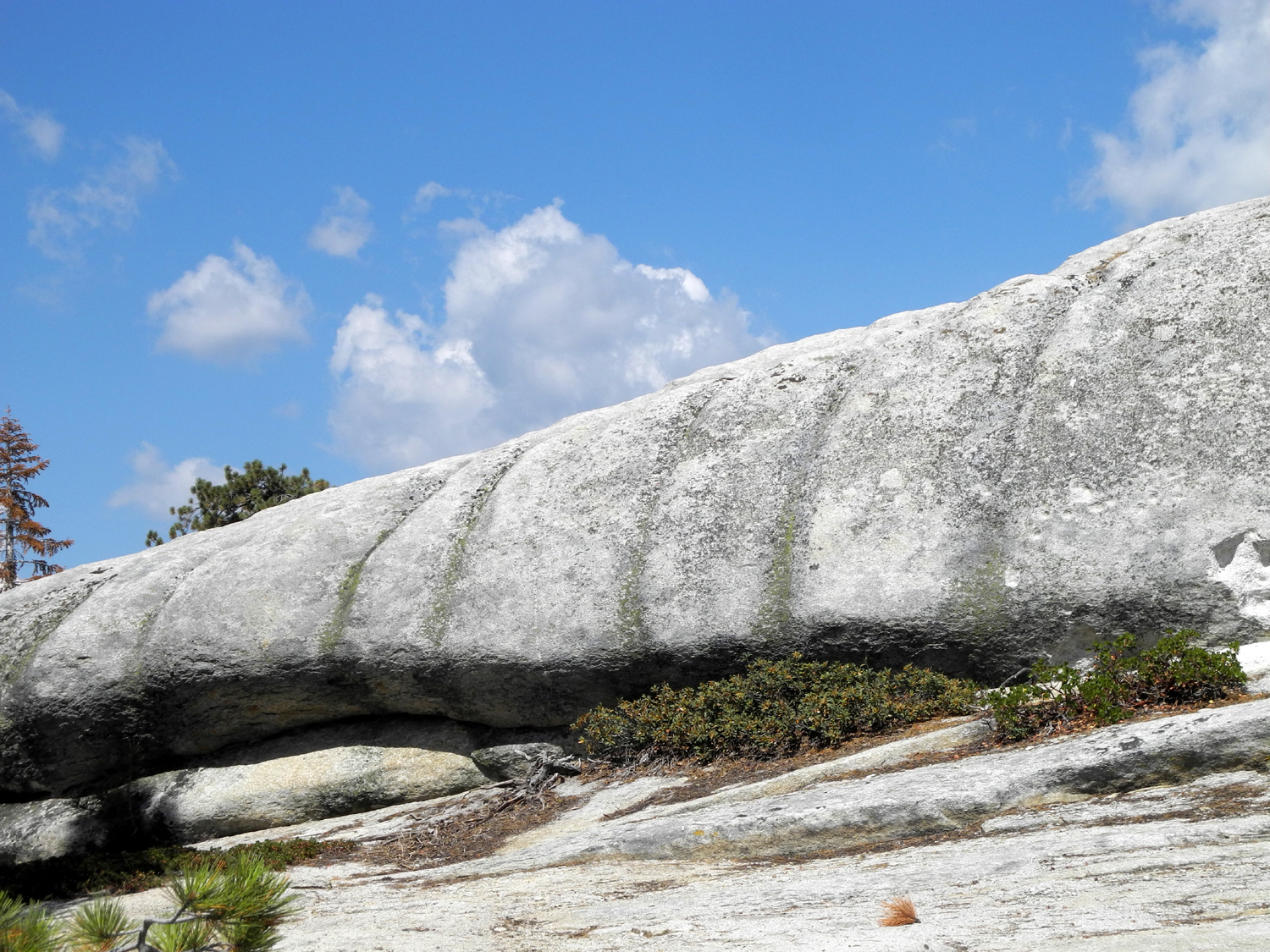
We have done a family camp at Stargazer Rock many times since 2000, including last year, but once again this year we could not coordinate schedules to make it happen, so I decided I would go there or near there on a solo camping trip, one of two or three I hoped to do in August. In the early years we usually went by 4-wheel drive vehicle from our camp to Bald Mountain, a rocky dome nearby with a fire lookout. There are at least two routes to the top, and one of them heads off from the Rock Creek Road a few miles west of the campsite. It is accessible for some distance by standard 2-wheel drive vehicles. I had driven in on this road about a mile or so and hiked around in the domes and rock outcroppings there, and decided this was where I wanted to camp. Before I get into the details, a few words about roads and road definitions as used here. The access road to Stargazer camp is the Rock Creek Road, which leaves the Dinkey Creek Road about two miles before you arrive at Dinkey Creek. It goes six miles to a junction. Turning right leads to the Dinkey Lakes trailhead, and 4-wheel drive roads into the Dinkey Wilderness. (This road had a "CLOSED" sign when I arrived this year.) Turning left will eventually take you out to Highway 168 between Shaver and Huntington Lakes, and most of the way this is still known as the Rock Creek Road. This road is rough and full of pot holes, despite once having been paved. It showed signs of some maintenance since I was there last year, but the spots that had been worked on were "washboard" surface in spots. A mile from the junction is the place we call Stargazer Rock, although officially it is known as Bald Mountain Base Camp, a much less romantic designation. As I passed it this year, no one was camped there, and a toilet has been built since last year. Two and a half miles past the camp is Road 9S02, which goes left and eventually to the top of Bald Mountain. It then continues on out to Rock Creek Road a few miles in from the Dinkey Creek Road, and constitutes the more difficult approach, requiring 4-wheel drive. All over this country there are what I call "Jeep tracks," not official roads but routes that have been used enough to be clearly identifiable as a road of some sort, almost always going over areas that require 4-wheel drive. During this trip I would walk on all of these types of roads. I got started about 9 a.m. on August 22, on roads I've driven on many times in recent years - Auberry Road to Prather, Highway 168 to Shaver Lake, then the Dinkey Creek Road to its junction with Rock Creek Road. Up to this point the way is smooth, paved two-lane road. At least the rough roads were an easier drive in my truck than in the motor home, which I've taken to Stargazer on all trips since 2008. Although this section of Road 9S02 to Bald Mountain is considered passable for high clearance 2-wheel drive vehicles, it's definitely a challenge, even the first two miles that I drove on. There are places where I had to carefully place the wheels on both sides of a deep channel in the middle of the road, and others where I had to choose which rock to drive over or which hole to drop into. However, I did not have any real trouble getting in and out, no place where I started to lose traction, and no place where I had to "gun it" to get up a steep section. I came to another numbered road, definitely for 4-wheel drive only, with a possible camp site just off the "main" road, and decided to hike from there, then decide whether to stay or move on. I walked up Road 309, intending to veer off the road to my left where there was a rounded dome It turned out that there was a narrow Jeep track leading in that direction just where I wanted to go. This area was mostly open with scattered trees, large outcroppings of granite, and wide sections of sandy soil with few trees. I got up to the top of this dome easily, and thought about trying for the next dome to the west. A short walk in that direction revealed that there was a fairly deep drainage between the two domes, which would have meant working my way down, then back up through thicker trees and brush. I walked on south, more or less parallel to the main road, hoping the tracks would lead me back to that road a little past where I was parked. Instead, the track ended with a turnaround circle where the rock dropped off too steeply for any vehicle. Studying possible routes down off the rock in that direction, I concluded that walking down that steep rocky slope would be unsafe and too much work, and prepared to re-trace my steps. Then I saw a place where it looked like I could go down toward the road, into a drainage that was not too steep, and make my way up the other side. It was a little more work than I had hoped, but after a slow, steady climb out of the drainage, I reached the road a little less than a half mile past where I was parked. Up a short driveway on the other side of the road I found what looked like the perfect campsite - assuming I could drive that final half mile. I walked back to the truck, loaded the table and chair that I had set out to mark my original potential campsite, and started up the road. There had been a little rain in this area and walking down to my truck I saw that one vehicle had driven in since the rain. I tried to follow those tire tracks wherever there was a difficult spot, and made it up to the campsite with no trouble. I got my stuff set up, relaxed a while with a cup of tea, then fixed lunch. I did several short walks during the rest of the day, one of them out on a dome just north of my camp. From there I was able to walk down through a saddle and up on the next dome. Although this walk required a reasonable amount of effort, it was only a little over a half mile. With my long walk and several short ones, I got in over two and a half miles. The area I was in is a land of domes and what I would call "domes in progress" -- rounded granite outcrops that show signs of exfoliation, but that have not achieved true dome shape. There are also a lot of large granite outcrops that are just big rocks and boulders. Right next to my camp was a very large section of "sticky" granite that was slightly steep, but easily ascended on two sides, and having steep drop-offs on the other sides. From the top there was a great view of the Dinkey Creek drainage and the mountains beyond, and I am pretty sure I was looking down at Stargazer Rock and one of the domes just west of that area that we call Neely Dome. It would not have been a very long hike to get to that dome, but I had used my hiking time in other areas, so I will have to explore that dome next time. The weather forecast was for a 20% chance of rain in the Sierra, which usually means scattered showers. Throughout the day there were clouds drifting around, but all they did was add to the scenery. There was a strong breeze much of the time, enough to cause me to put on a long sleeve shirt while I was sitting around camp. As it grew dark, clouds covered most of the sky, but when I got up during the night, it was completely clear. There was a fantastic star display, the wind had died down, and the low was 41 degrees. As it was getting light but before the sun appeared, I discovered that I could see the outline of distant peaks in the higher mountains. These were probably in Kings Canyon and/or Sequoia National Parks, and may have been the Great Western Divide. It was still clear, but clouds drifted in again during the day. Eventually those distant high peaks were obscured by haze. The temperature warmed up quickly, and by the time I finished breakfast and took care of housekeeping chores, I was ready to change into shorts and t-shirt and start my hike for day 2. I know people have walked the road all the way to the top of Bald Mountain, but I was pretty sure this was at least three or four miles from my location, so my plan was to follow the road to a dome that I had climbed with my daughters and grandson Mikie in 2003. In accordance with my rules that climbing an unnamed height allows you to name it, this became Mikie's Dome. Since it's been 14 years since I was there, I could not remember how far it was to this dome, or what the terrain around it was like. However, there was a landmark that would identify the place for me if I could spot it. Just past my camp the road goes across a fairly large level spot, with scattered trees and sandy soil, then starts downhill for a ways. I left the road at this point, heading for a granite outcropping that was just slightly higher than the plateau I was on. I walked to the top of this place easily, and again considered trying to get on top of a dome to the west, but as usual, there was a deep hole in my way. Instead I walked down the gentle slope of the rock to the south, soon arriving back on the road. From here it made a long curve through a red fir forest, and as I approached the next rock formation, I saw my landmark - a large sugar pine tree. You might wonder if I was actually looking at the correct tree, but I had no doubts. Sugar pines are unusual at this elevation (about 7,200), and it was the only one around. I took a number of photos of it, walked up by it, sat on a rock nearby communing with nature and the tree, and thanking the bird or squirrel or whatever that brought a seed here a hundred years ago. At this point I was right at the base of Mikie's Dome. I could also see other domes and rock formations along the road ahead, and decided to try something new rather than repeat the steep climb that would be required at my present location. I continued along the road and then went off to the right and up on top of another small dome. As I approached the top I could see a boulder pile that I thought was the very top of that dome, but when I got up a little farther, I saw that the boulders were part of a rocky ridge beyond a moderately easy saddle. In fact, I was able to follow a jeep track across the dome and down to the saddle, and start up the ridge. This formation consisted of a rock base, with huge boulders spread out across a hundred yards or so. These ranged in size from Volkswagen Bug to Sherman Tank, with space in between them. I worked my way up the west end, hoping I would be able to go down a gentle slope on the other side. In fact, it was a steep, impassible drop-off. As consolation, I found that I had a view of Shaver Lake below me to the west. I studied various routes and concluded that getting to the very top of the ridge, on the eastern end, would be difficult and dangerous, so I made my way back down and out to the "main" road, and started my homeward journey. I followed the road back to camp with the exception of the place where it made a big U-shaped curve through the red fir forest. Here I cut across the base of the dome I had walked out on at the start of my trip, saving me at least 100 steps. Even so, my hike that day totaled just over three miles. I was getting tired, and was relieved when I finally started up the hill that led to the big flat area close to camp. However, as so often happens, when I got to the top I saw that there was another hill leading up to another flat area. Fortunately, this one proved to be the last section of my hike, and soon I was back in camp, where I took off my pack and boots and just sat and rested for a few minutes. Of course, I would do more walking later in the day, but nothing major. I added about another mile to my total with at least three different walks near the camp. The longest was out in the general direction I went the evening before, toward the eastern-most of the two domes just north of camp. I was checking to see how difficult it would be to get over to the dome that was possibly Neely Dome, and it looked like at least an hour's hike one way. From here I realized I could see in the distance the rocky ridge I had climbed on earlier. Much of my walking was up on top of the big rock right next to camp, to look at the clouds. In the late afternoon I began hearing thunder, and as it became more or less continuous, I studied the sky to the east and northeast. I never saw lightning, the sound seemed to be far away, and the dark clouds were concentrated above the Dinkey Lakes area, a dozen or more miles away. I did have a 10-minute sprinkle, but there was no thunder at this time. It was enough that I sat in the truck for a while, and somehow had the presence of mind to turn on the windshield wipers and eliminate the dust splatters that covered the rest of the vehicle. Once the rain stopped, I opened my lawn chair, got out the cushion I had put in the truck, and read until it was bedtime, with another trip or two up to the top of the rock to check the sky, getting some nice photos of the sensational sunset. By the time I went to bed it was mostly clear, and eventually the clouds broke up entirely, providing another night of great stargazing. It was not as cold the second night, getting down to the mid 40s, but rising up to 50 by the time I got up a little after 7 a.m. The only walking I did the final day was one last trip up to the top of my big rock. I had tea, then fixed breakfast and took my time packing up. As I drove past the place I first stopped I was especially glad I had not stayed there; it was such a "nothing" spot compared to where I ended up. I made it back out to the Rock Creek Road without difficulty, although the road was just as challenging in that direction. Instead of turning right and going back the way I came in, I went left, since the road goes out to Highway 168 between Shaver and Huntington Lakes. We have gone home that way a few times in the past, and there is always a discussion over whether it's any better than the usual route. It's not, but since I had gone well past Stargazer Rock, it was a much shorter way back to a good paved road. I want to call this great camping spot New Stargazer Rock, although I don't think we will ever be able to get a large family group to camp there. No one is going to drive a motor home over that road, and I would not want to try it in anything but a moderately high clearance vehicle like my truck or a full size Jeep SUV such as my grandson Johnny has. In addition, camping would have to be in tents, and some of the family members are done with that for good. Perhaps it can be a nice day trip from "old" Stargazer as we have done in the past. I saw almost no flowers during this outing, but I took note of the trees, which were what would be expected at the 7,400 foot level: Lodgepole pine, western white pine, Jeffrey pine and red fir. In addition to the lone sugar pine, I ran across a scraggly cedar, even more out of place than the pine. The bushes were primarily azalea, green leaf manzanita and pinemat manzanita. Most of my time was in areas that were fairly open rocky hills and slopes covered with decomposed granite, the type of terrain favored by Jeffrey pine. A few lower areas had a heavy growth of red fir and lodgepole. Like most domes, when you get up close they are not nearly as smooth as they look from a distance, but instead tend to be "lumpy" and weathered. Nearly all the upper surface of rocks and domes in this area had a lot of potholes, the work of wind, water and rock particles scouring the rock for millennia The daytime temperature was around 70 with a breeze most of the time. It was still at night, making even the 40-degree low reasonably comfortable as long as I was dressed properly. As I dropped down to the 2,000 foot level at Prather, my truck quickly began showing temperatures in the 90s, and it was about 100 when I got home, after a round trip of 120 miles. --Dick Estel, August 2017 |
||
|
Photos |
||
 |
|
 |
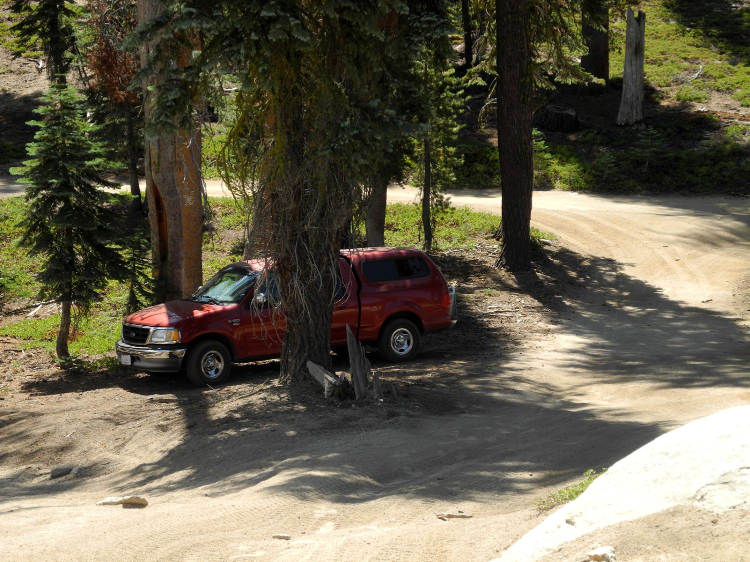
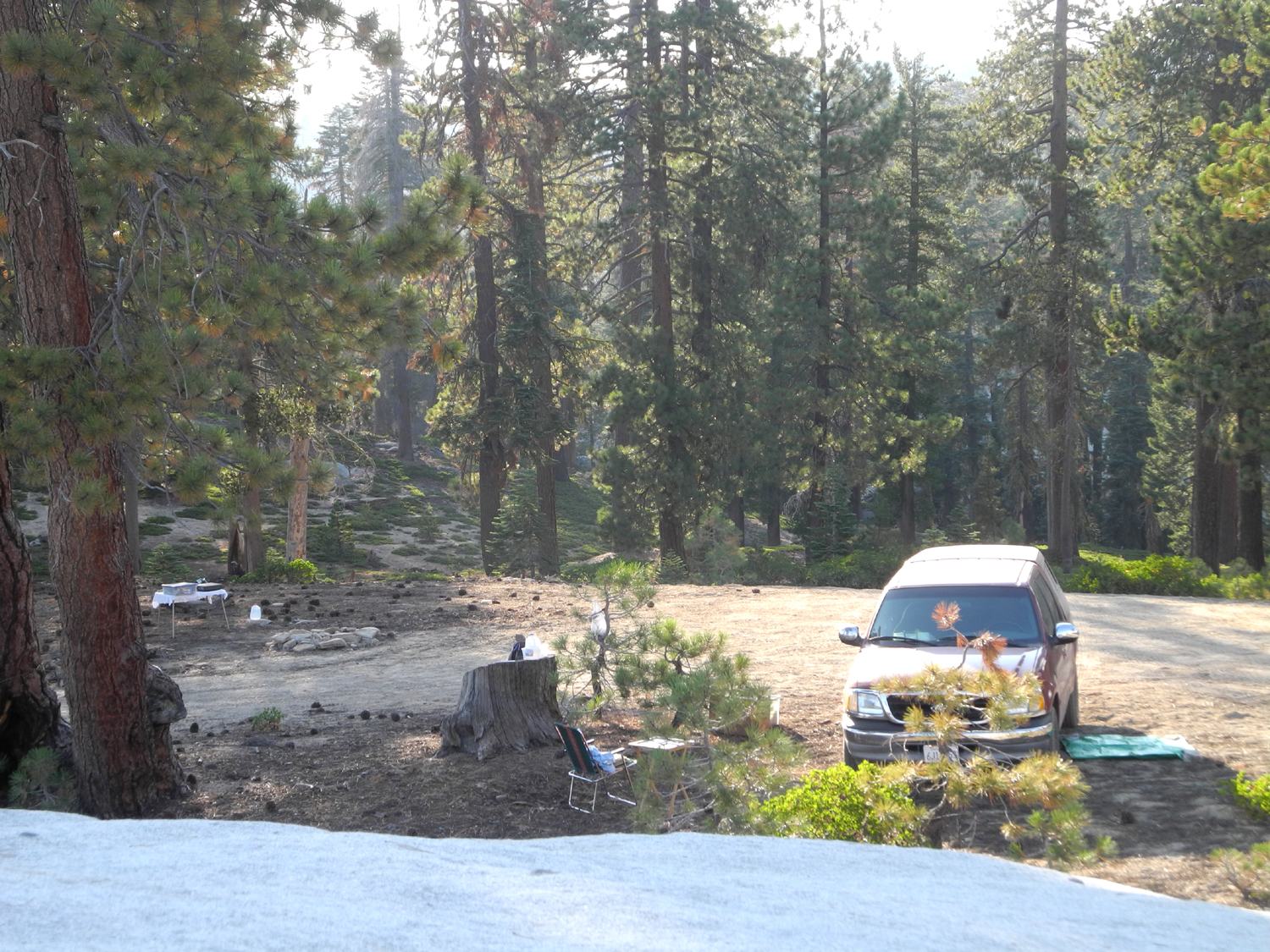
| The first potential
campsite, which I abandoned with relief |
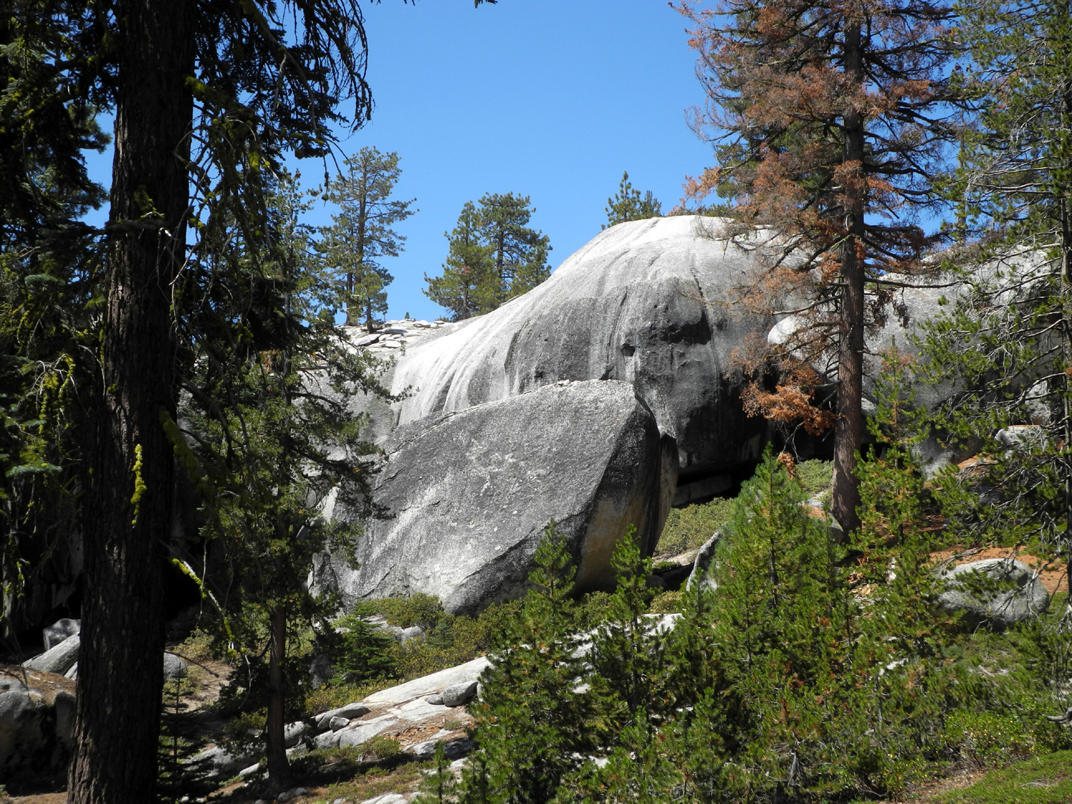
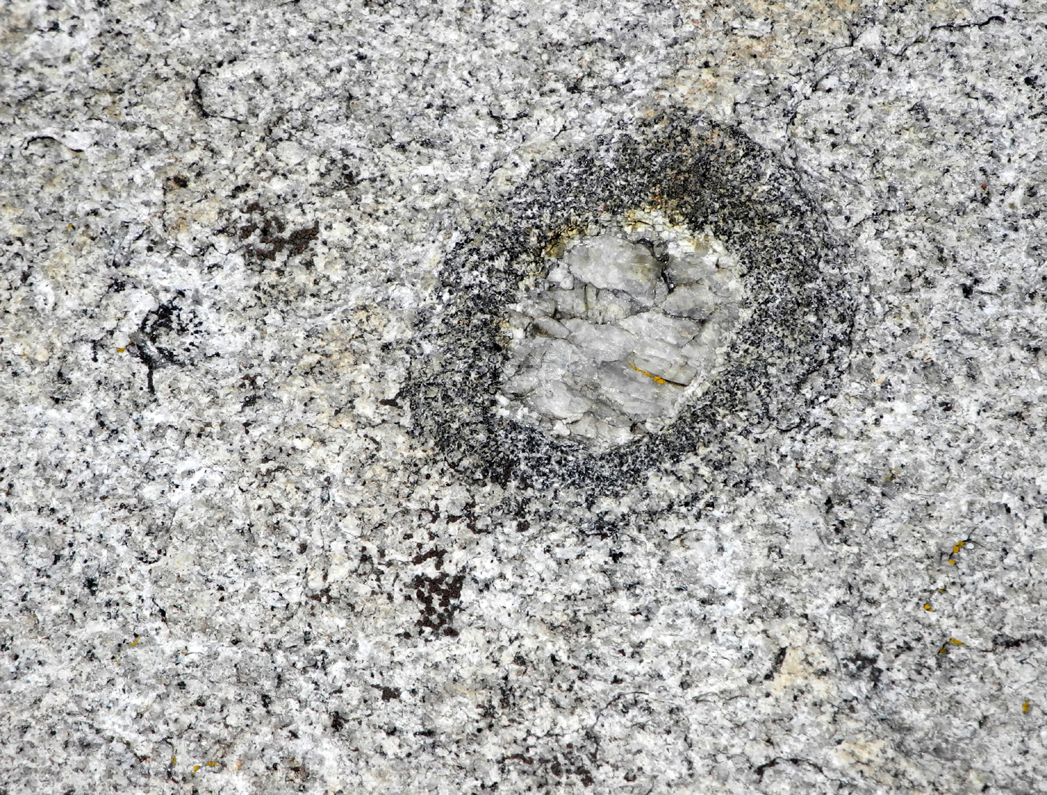
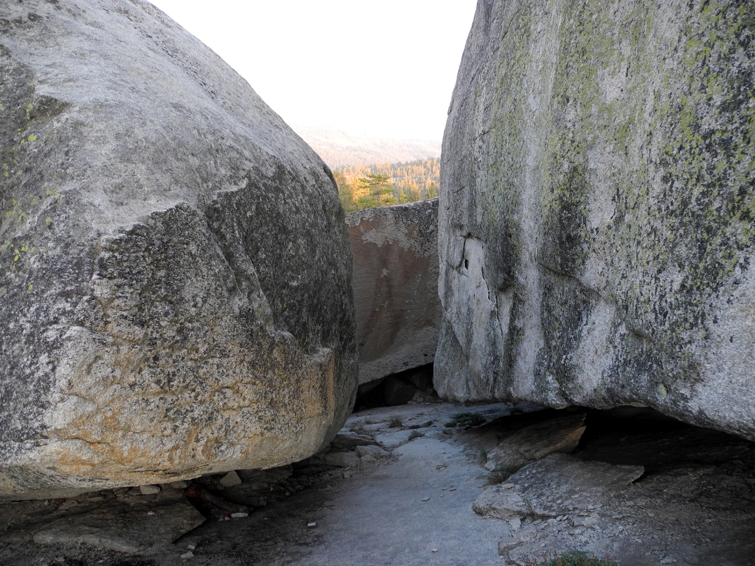
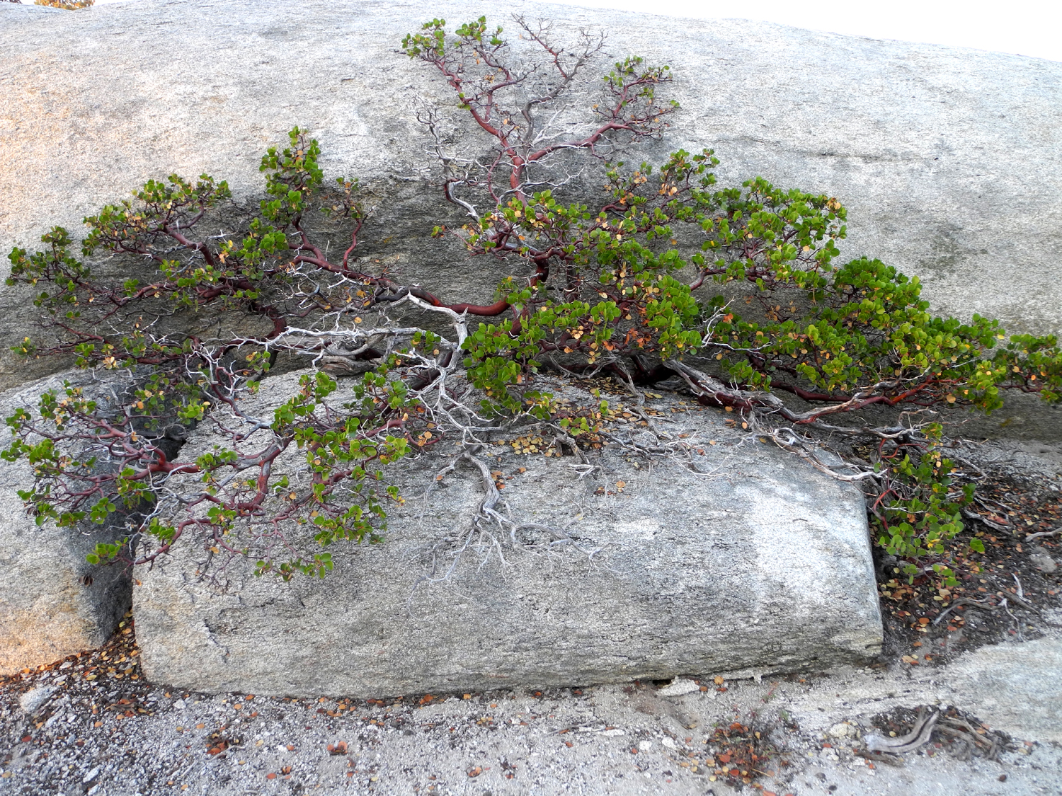
Rock formation by the 4-wheel drive road I hiked on | Quartz intrusion, surrounded by a black granite circle |
 |
 |
 |
| Azalea and green leaf manzanita | Pinemat manzanita | Afternoon clouds above the Dinkey Creek drainage |
|
 |
 |
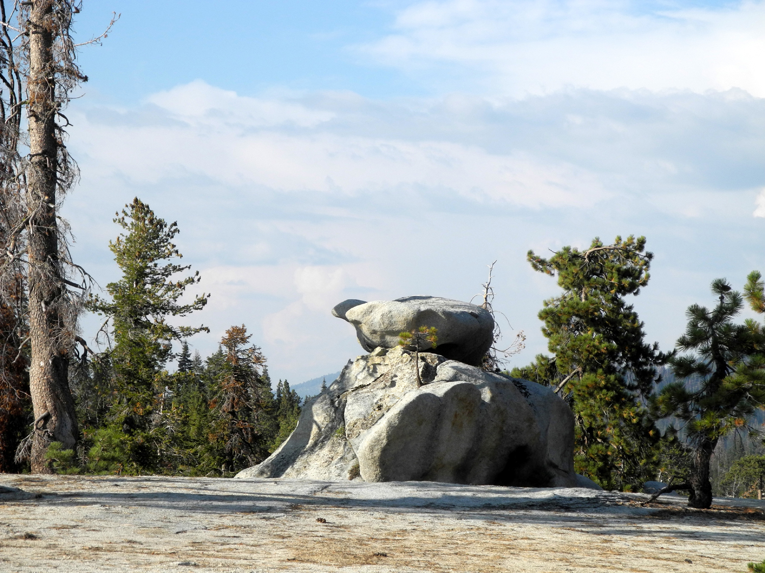
| Rock formation on
top of the dome north of my camp |
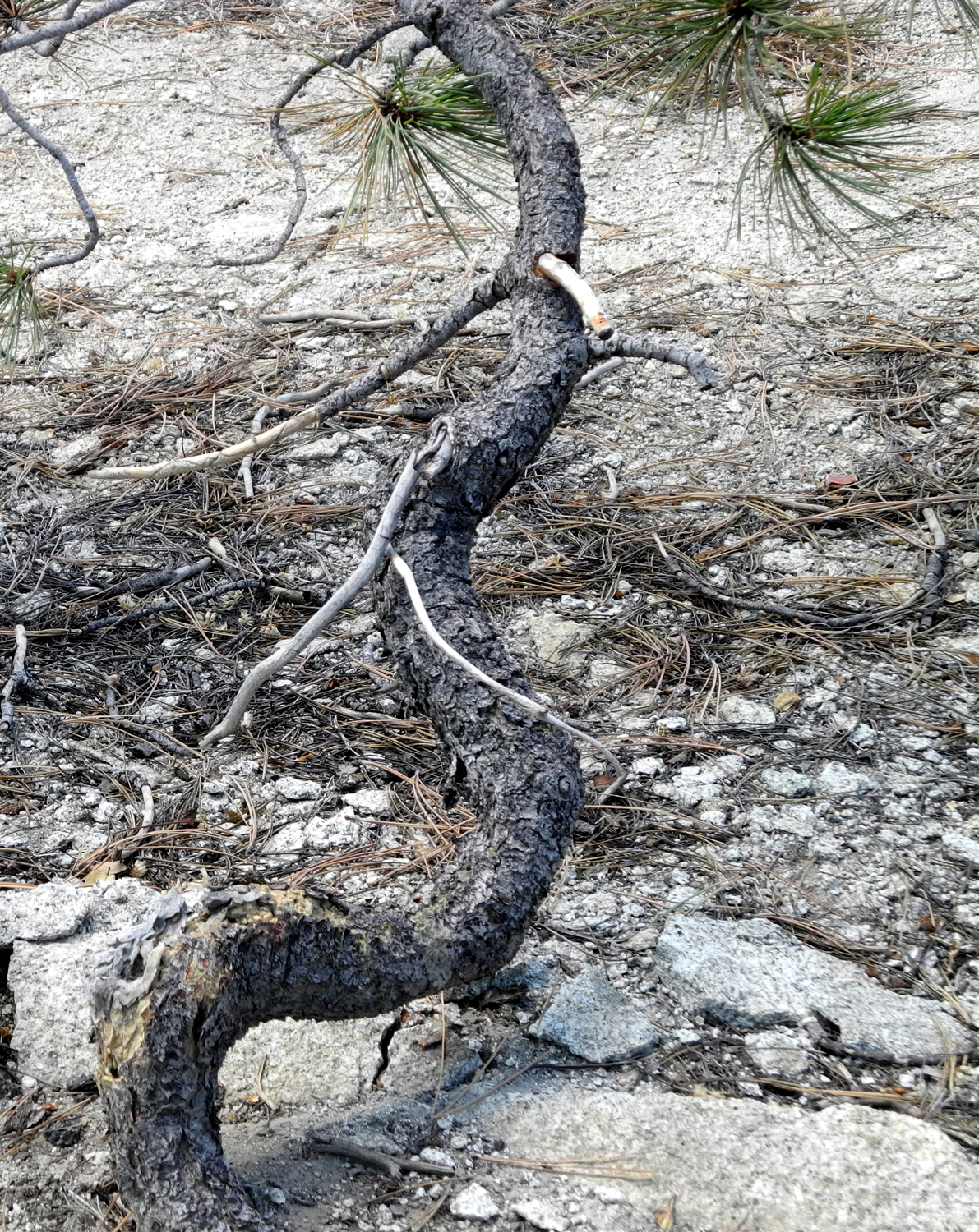
A young tree
embraces a reluctant deceased ancestor |
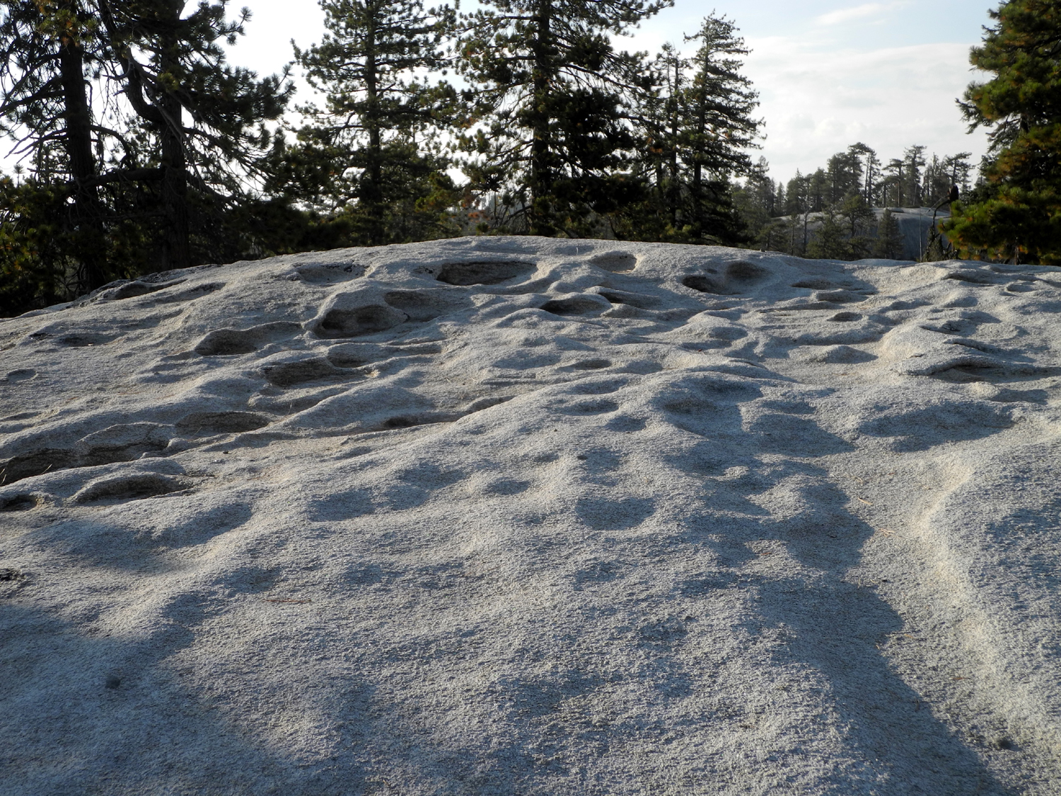
Potholes on top of my big camp rock |
 |
||
| Looking across at Neely Dome from the dome north of camp | ||
 |
 |
 |
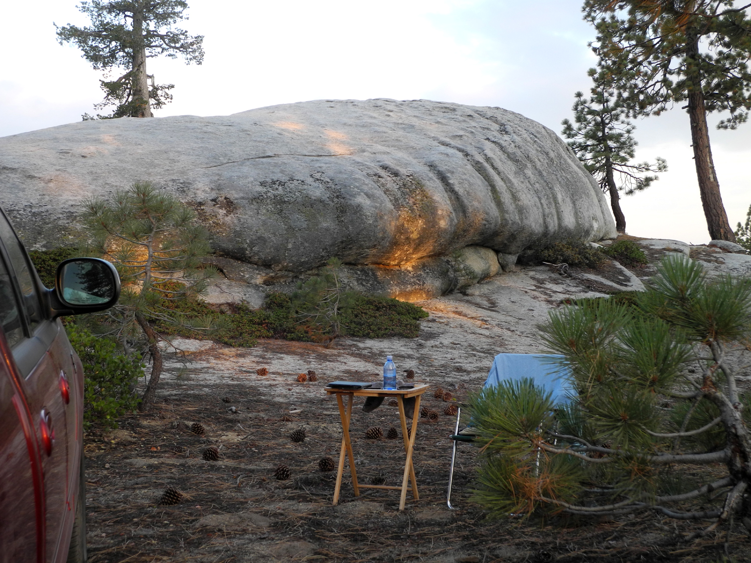
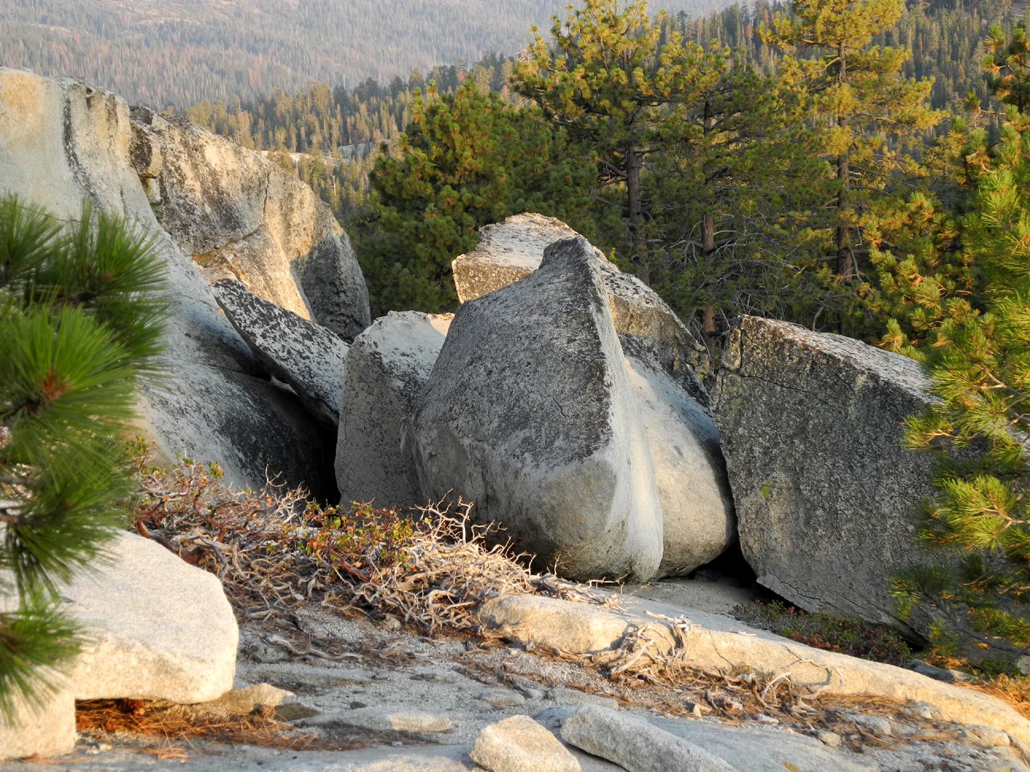
| My "reading room" by the big rock | Rugged boulders southeast of camp | More boulders |
 |
 |
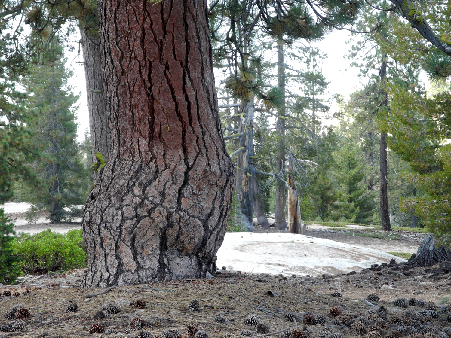 |
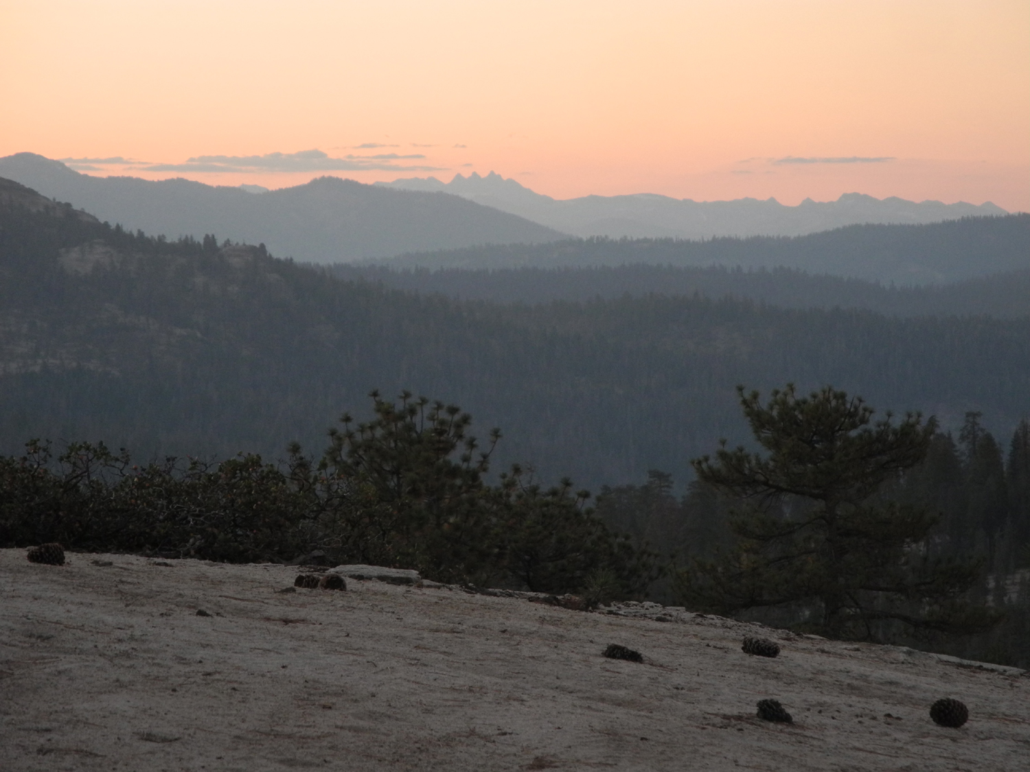
| Sunrise over distant peaks in Kings Canyon National Park | A twisted Jeffrey pine | And a big one that had a little twist in its youth |
 |
 |
 |
| The out of place sugar pine tree | Twelve-inch cones on the ground help to identify sugar pines | The typical reddish bark is another clue |
 |
 |
 |
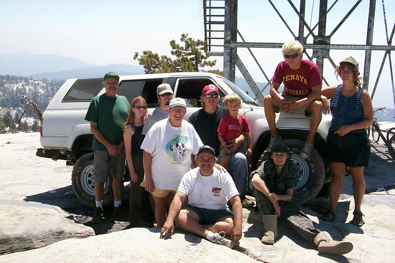
| The base of Mikie's Dome | Mikie and Dick on Mikie's Dome in 2003 | Jennifer, Mikie and Teri on Mikie's Dome |
 |
 |
 |
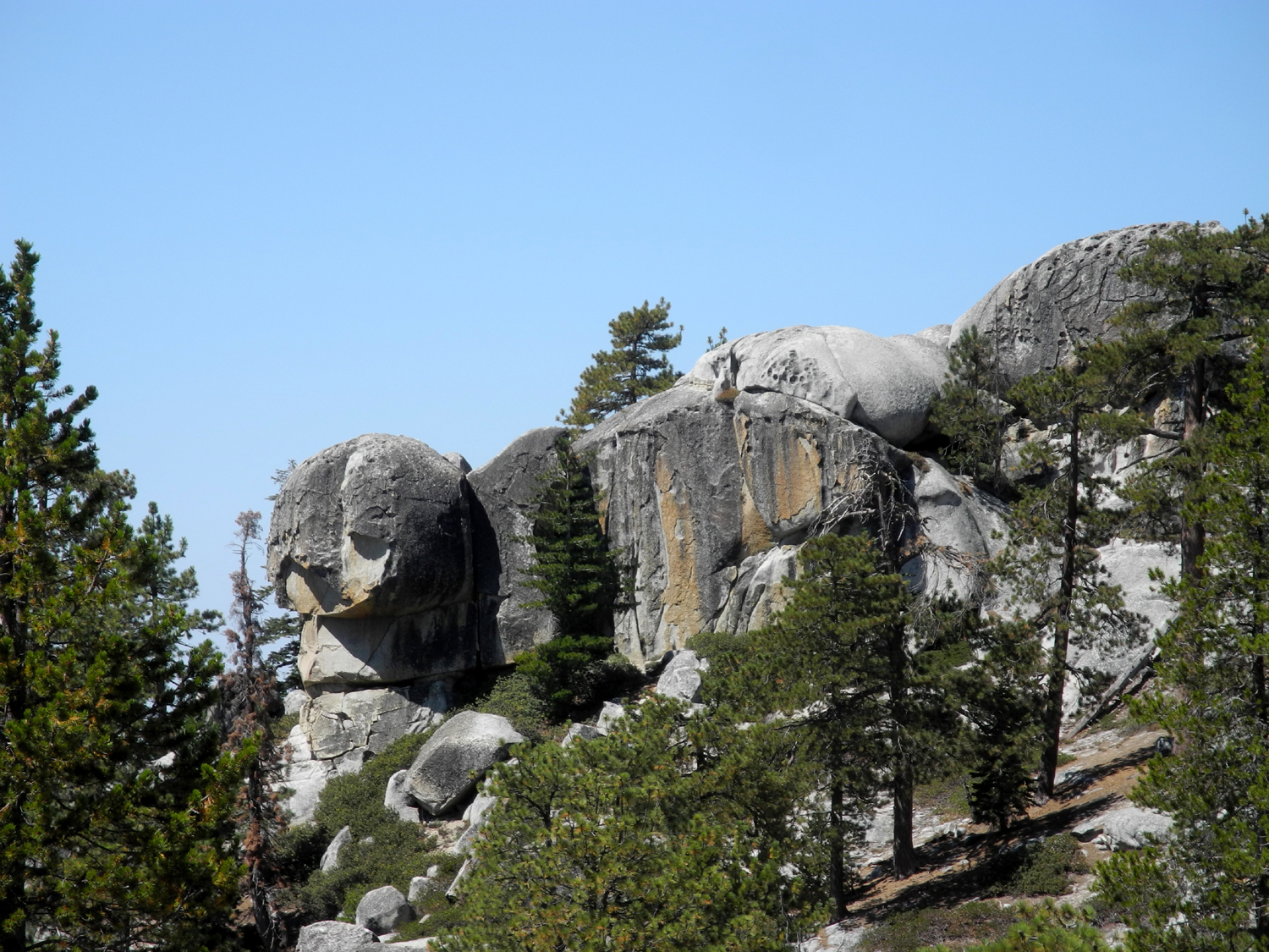
| Mikie's Dome from near Stargazer Rock in 2015 | East end of the rock ridge | West end of the ridge |
 |
 |
 |
| Shaver Lake from the rock ridge | The ridge viewed from the domes near my camp | The dome I crossed just below the rock ridge |
 |
|
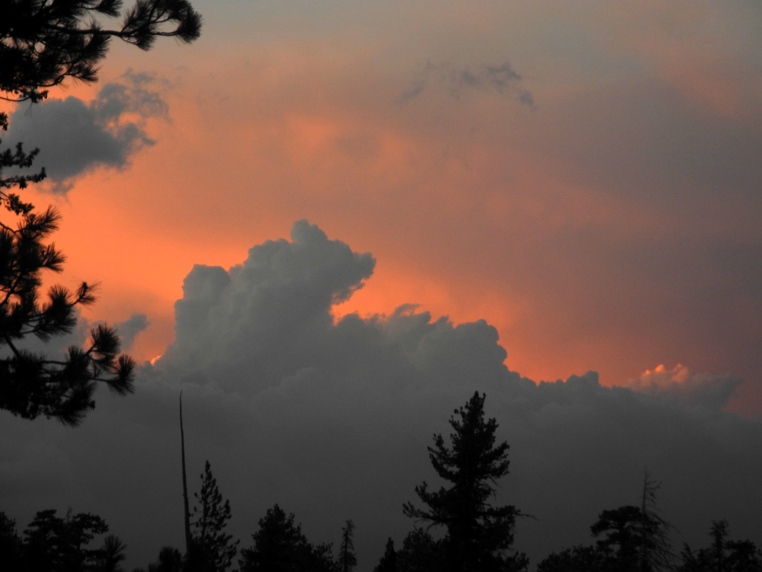 |
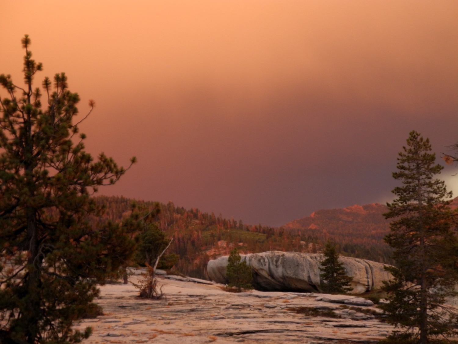
| Centuries of water running off the big rock have created these grooves | Storm to the northeast of camp | Sunset the final evening |
 |
 |
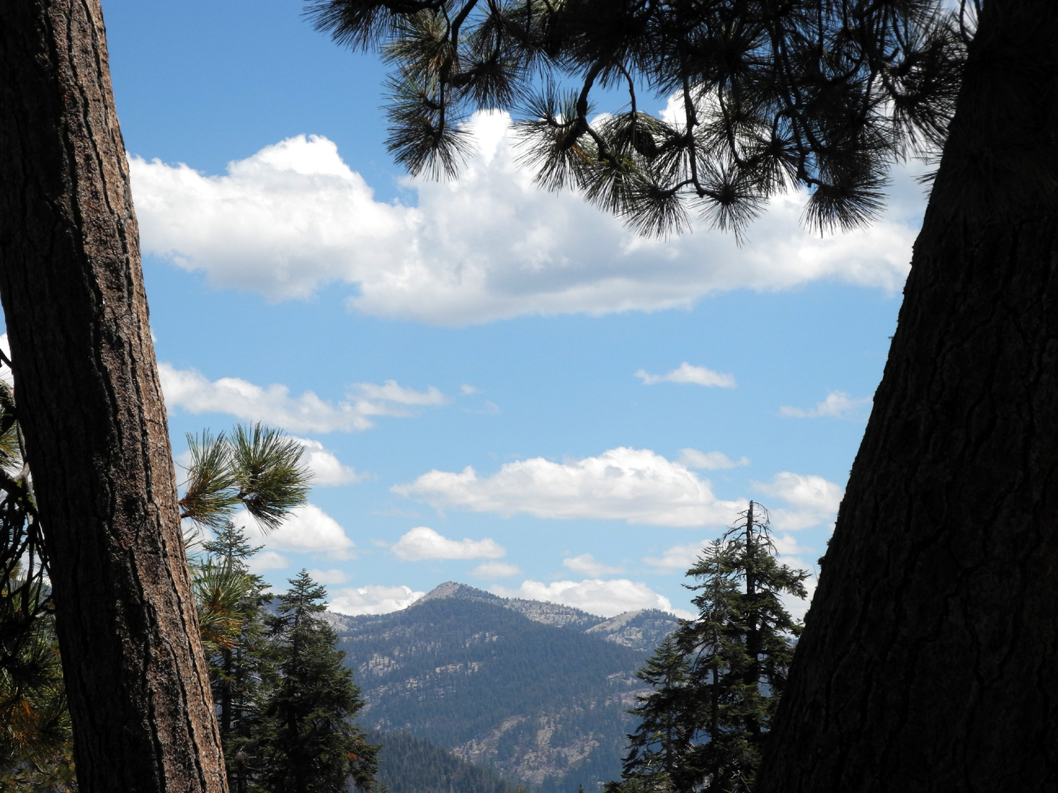 |
| View of camp from on top of the big rock | Landscaping featuring green leaf manzanita | Sierra view through two leaning trees |
| Related Links | ||
| Bald Mountain Trail | Bald Mountain | Stargazer Camping Reports |
| Highway 168 | Pinemat Manzanita | Jeffrey Pines |