|
Dick's Adventures of 2020 - Part 7 |
|
| Photos Related Links More Travel Reports | |
| Adventures
of 2016 Adventures
of 2017 Adventures
of 2018 Adventures
of 2019 Adventures of 2021
2020 Part 1 2020 Part 2 2020 Part 3 2020 Part 4 2020 Part 5 2020 Part 6 |
|
| Ahwahnee Hills & Wawona Hensley Reservoir San Joaquin Gorge Twice | |
|
Ahwahnee Hills & Wawona
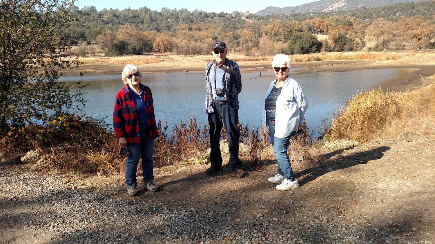
My younger daughter Jennifer and her husband Rod decided to resume their regular Thanksgiving week visit to Tahoe, meaning I was asked to take care of their cats. My older daughter Teri had the week off and decided to join me. We have both performed this task in the past separately, but never together. Since the duties are light and take little time, we always use some of the time for hiking. The location is five miles above Oakhurst, so it's a short drive to many hiking locations. For our Monday hike we decided on the Ahwahnee Hills Regional Park. I invited two friends from Mariposa, Susan Crandall, whose family the Estel's have known for 120 years, and Bev Williams, a member of my high school class. Bev now lives in Ahwahnee, so it was a five minute drive for her, while Susan's trip would be less than 45 minutes. Both of them had hiked with the Ramblers hiking group at this location in 2019. Teri and I made the half hour drive and met Susan and Bev at the gate to the park at 11 a.m. It was locked, but hiking is allowed even when you can't drive in, and we were able to park at the edge of a nearby school and go in through an open gate. The weather was perfect, and the scenery delightful as usual. The area is mostly flat, with some gentle hills. The trail follows a small creek part of the way, with big valley oaks on both sides. At the far northern end of the area is a pond which always seems to have turtles sitting on a sunken stump for our enjoyment. |
|
|

|
| The pond at Ahwahnee Hills; Miami Mountain in background | Turtles standing watch |
|
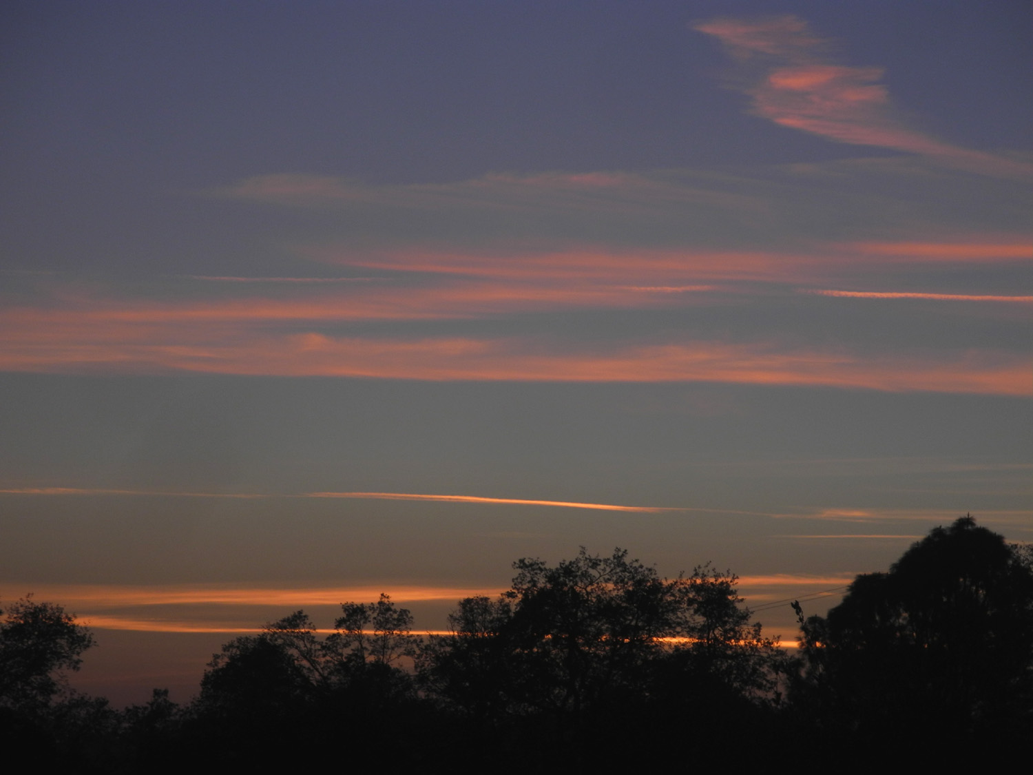
I did not take many photos since I had been at this place several times before. You can see earlier photos here and here. We are never in a hurry, and were out for an hour and 42 minutes, with about 60 minutes of moving time, covering a little under two miles. It was the time of the Covid-19 pandemic, so we could not even consider enjoying lunch together at the Hitching Post in Ahwahnee. Instead we said our goodbyes and departed in three different directions. Teri and I had come via Highways 41 and 49, but took a "shortcut" on the way back. Road 628 goes more or less east from Highway 49 near the park, then connects with Road 620. Jennifer lives off this road, which goes out to Highway 41 about three miles from her house. About half this route is a dirt road, not too rough, but certainly requiring slow driving. It rises up at first, then drops down and crosses Miami Creek, and offers some different views of the surrounding country. Teri had never been on this road, so it was a new "adventure" for her. It actually is a few miles shorter, but takes the same amount of time. Rod and Jennifer had left us a gift certificate for El Cid, one of the best Mexican restaurants in Oakhurst, so Teri and I drove there and got our dinner to go, and enjoyed it back at the house. In the evening we had a nice sunset view from the patio. |
|
|
|
| Susan, Dick and Bev by the pond | Sunset from the Neely patio |
|
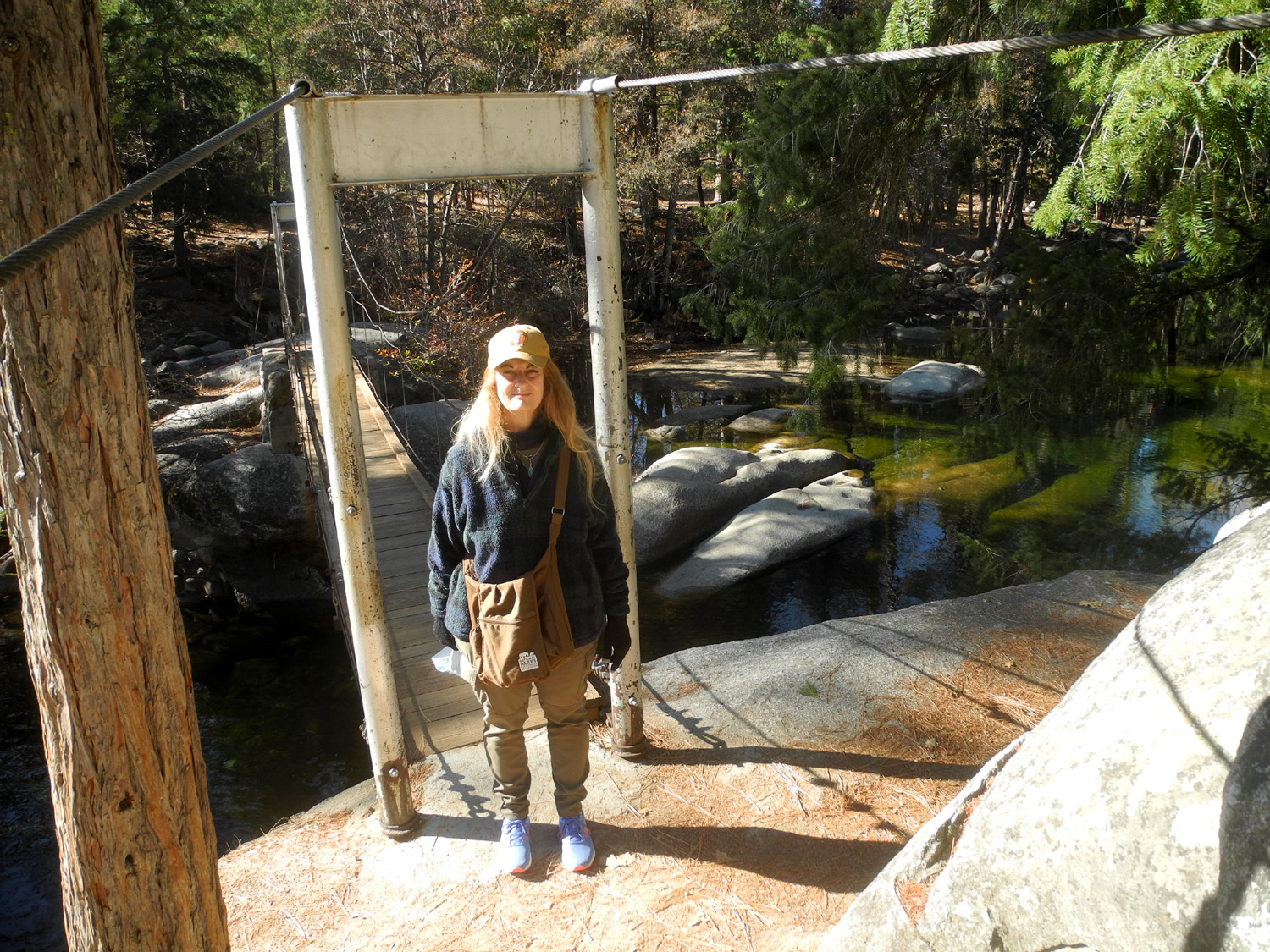
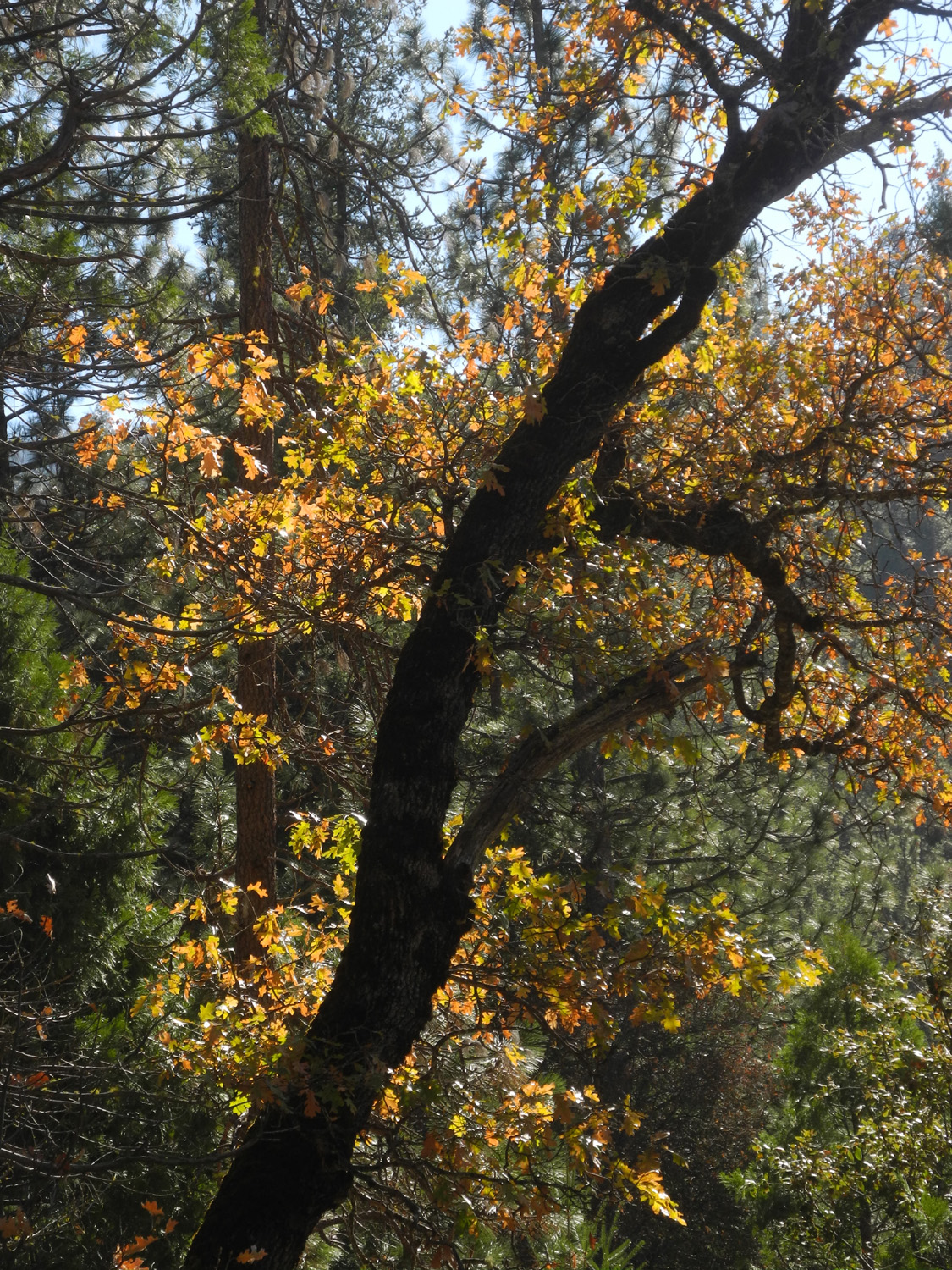
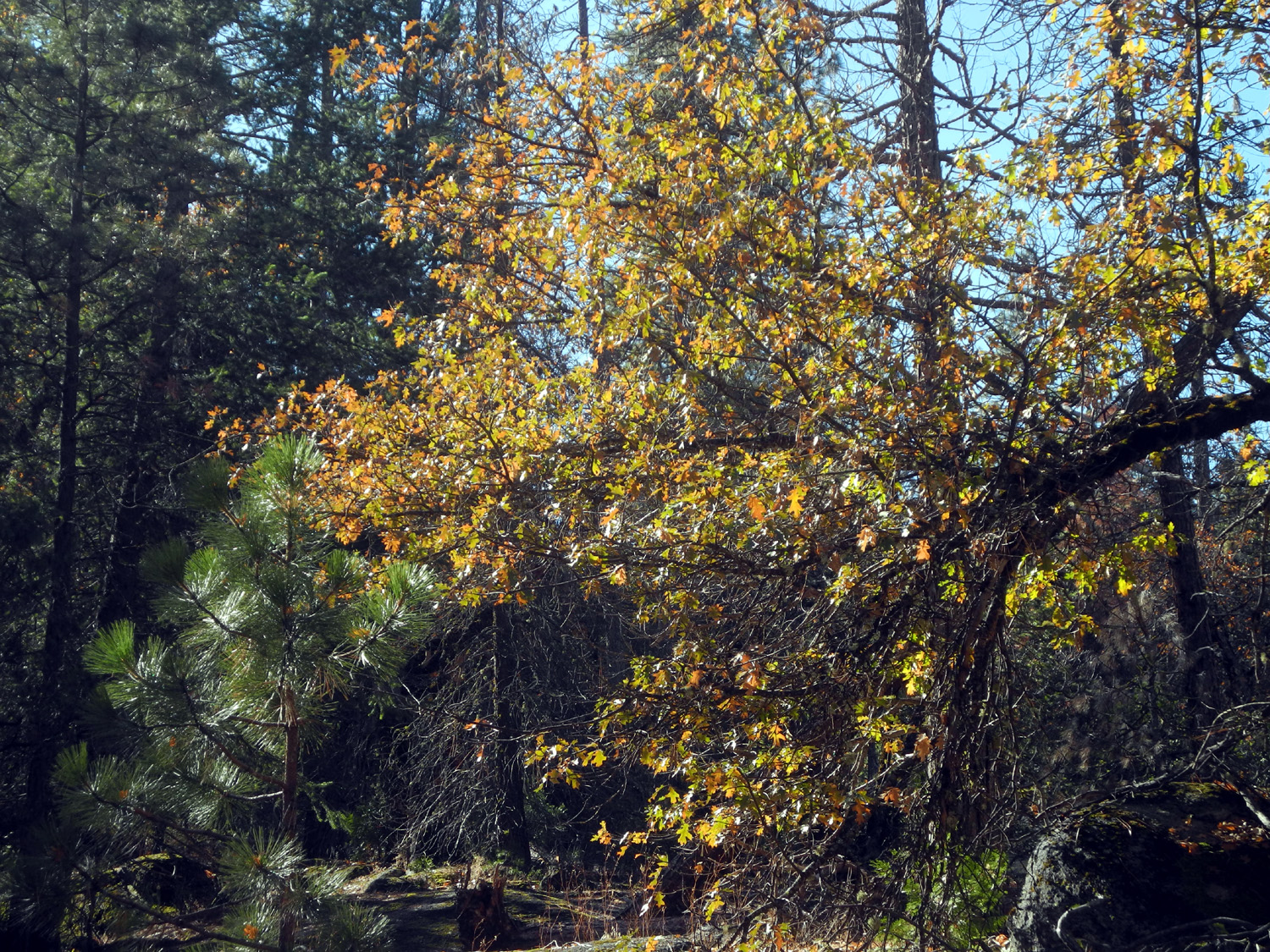
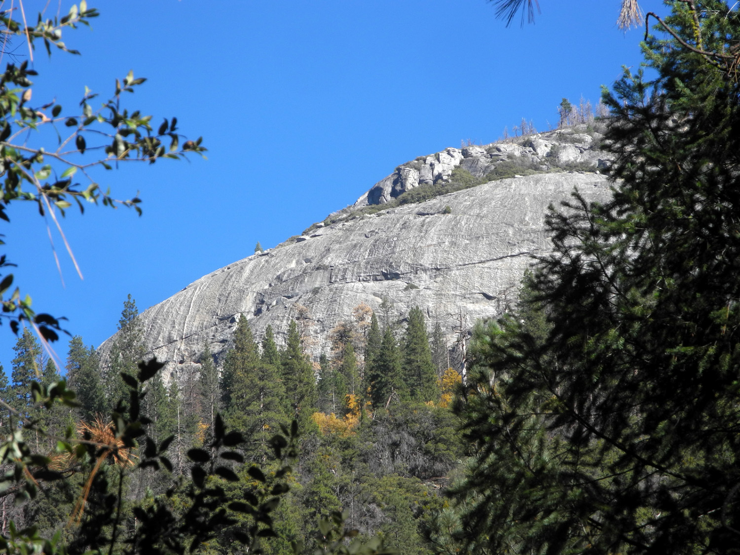
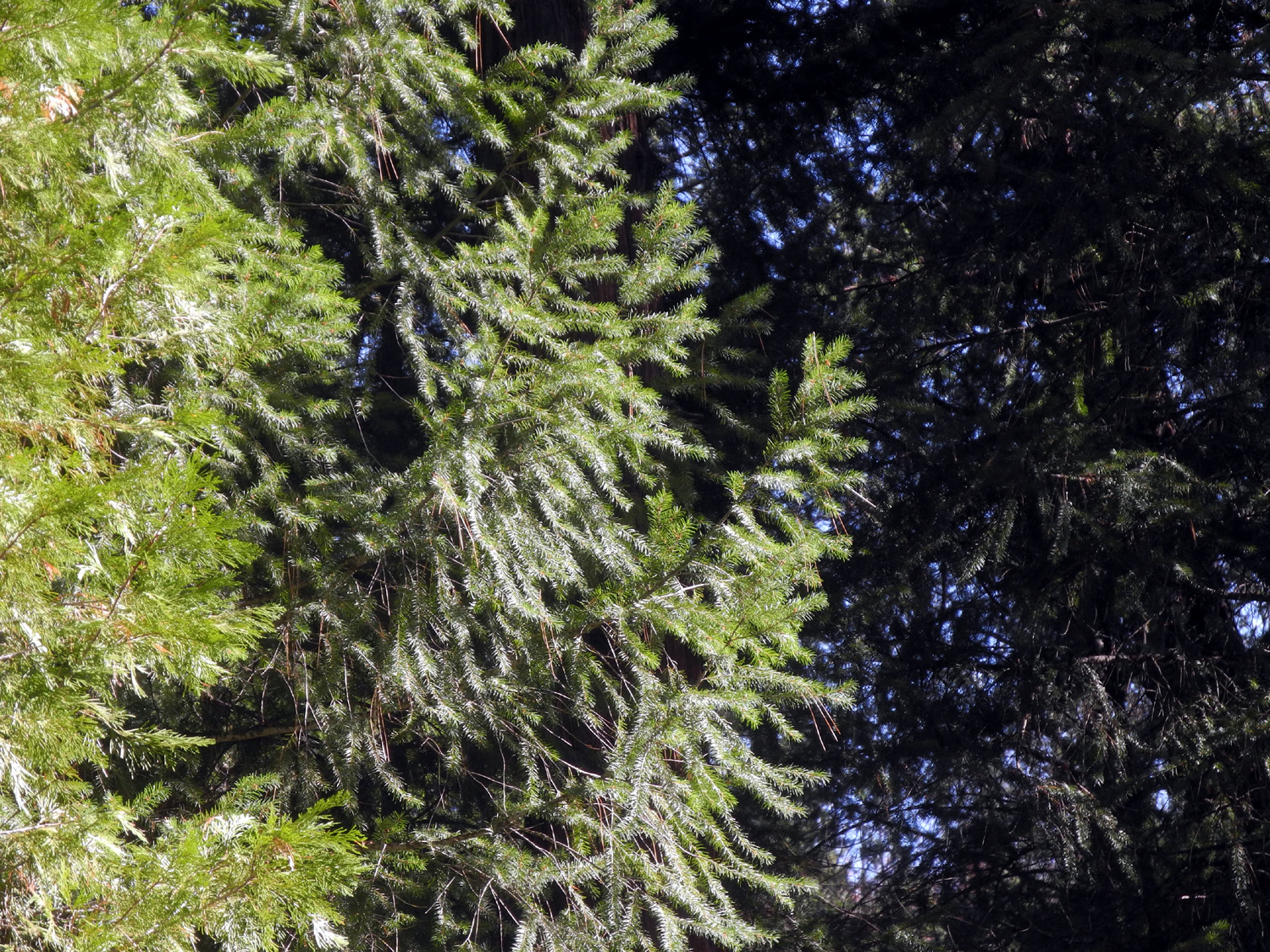
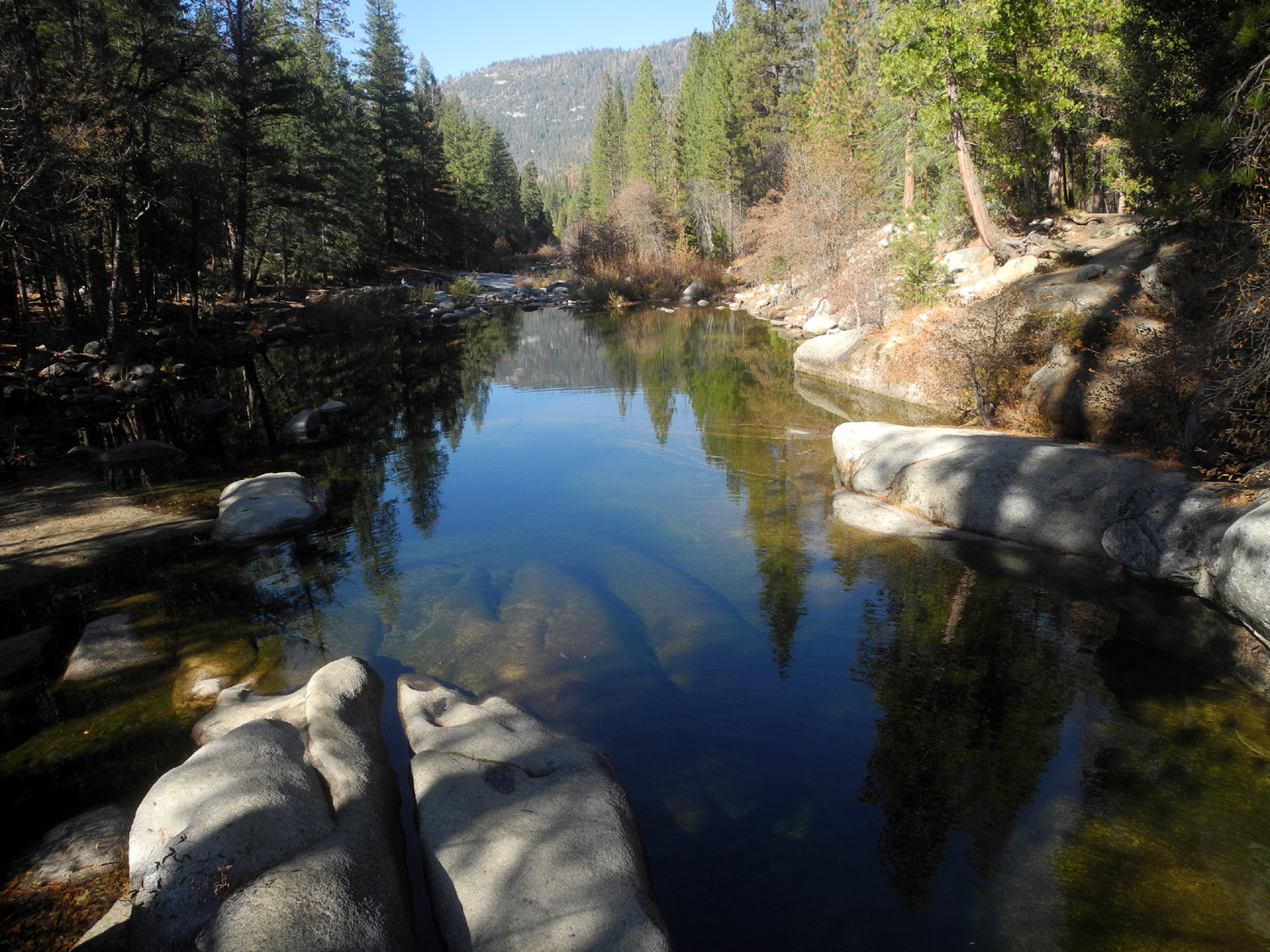
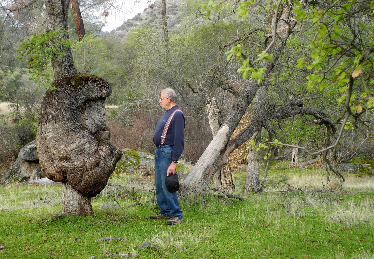
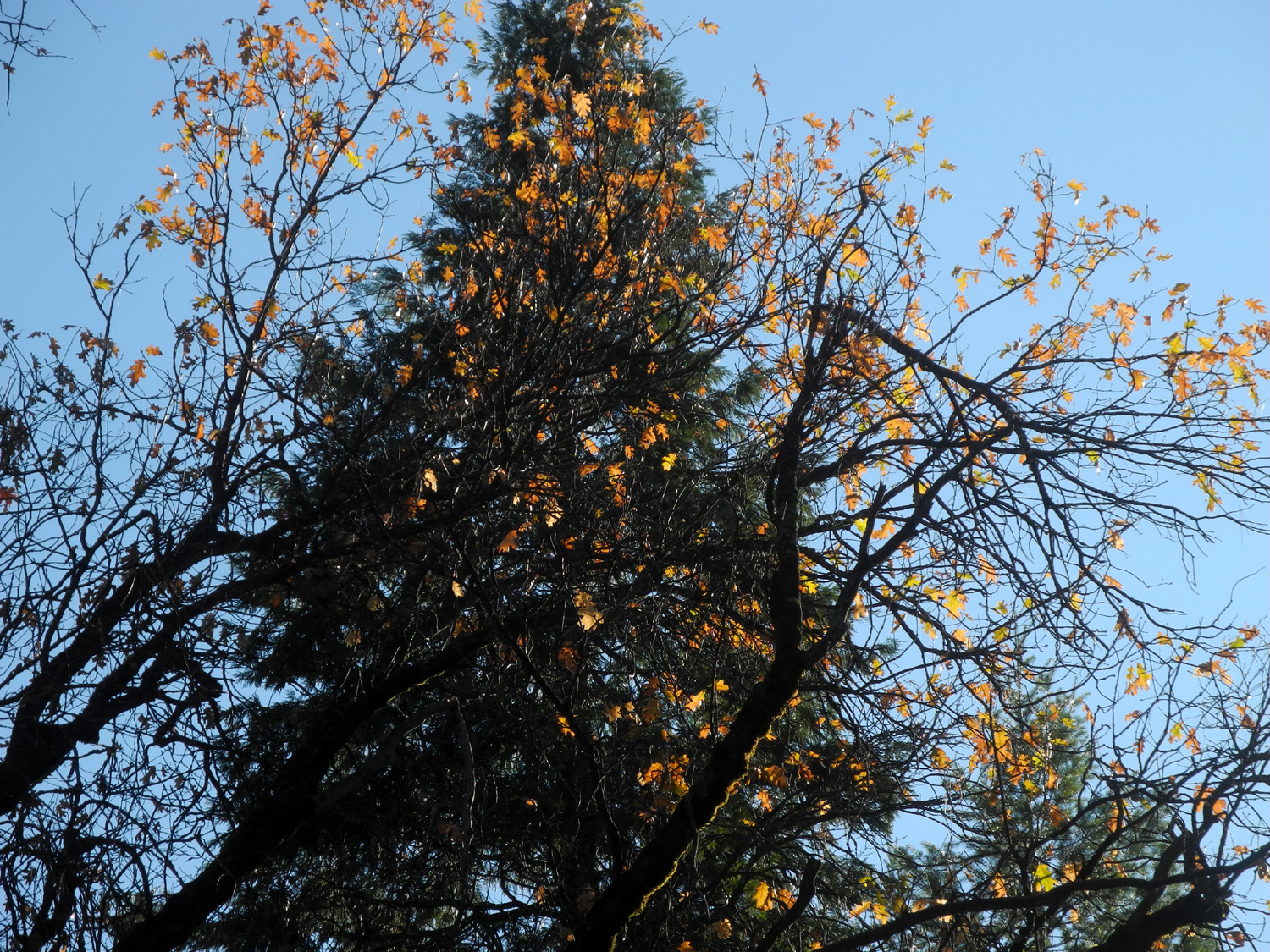
The next day we enjoyed a somewhat more ambitious outing. We drove to Wawona, a few miles inside Yosemite National Park. This location got its start in the modern era as a stage stop on the road to Yosemite Valley, and now offers a hotel and restaurant, a golf course, a few stores, many private residences and rental units, and a number of hiking trails. We've hiked on all the trails in this location, and we discussed the Meadow Loop Trail, but it is four miles and we were not feeling that ambitious . We decided instead on the Swinging Bridge Trail. The South Fork of the Merced River crosses the highway at Wawona, and roads go upstream on both sides. On the south side you go past a store, the Pioneer Yosemite History Center (a historical exhibit), and a number of houses. At the end of the road, about four miles into the forest, a trail goes a short distance to a swinging bridge across the river. The black oak trees were putting on their fall color display, and there are several species of evergreens, including Douglas fir. We also had nice views of Wawona Dome, towering over the river on the north side. |
|
|
|
| Black oak leaves, back lit by the sun | |
|
|
| Wawona Dome | Cedar and Douglas fir |
|
|
|
|
In the past I had walked to the end of the bridge on the north side, but had never gone any farther. This time we went up to the trail on that side, which required a careful scramble up a steep section just above the river. We then went upstream a ways on an unofficial but well-defined trail, until we started having to go around or over fallen logs. I rested while Teri went a little farther, eventually coming to a place where the trail dropped down to river level. Beyond this point the path was overgrown and hard to follow, so she returned and we headed back across the bridge and on to the car, a 42 minute hike of 1.3 miles.. We have booked an Airbnb cabin in Wawona for next May, so after our hike, Teri and I drove up the other side of the river to check the place out. It is right on the river, with a hot tub, barbecue, a nice deck, and overall looked very nice. Now all we need is enough vaccinations to make it safe for a family gathering. Before returning to the house, we went into Oakhurst and got our dinner to go at the Pizza Factory. Rod and Jennifer originally planned to return Thanksgiving day, but decided to return a day early, so on Wednesday Teri and I and the cats had breakfast, then packed up and headed back down to the valley. |
|
| Hensley
Reservoir
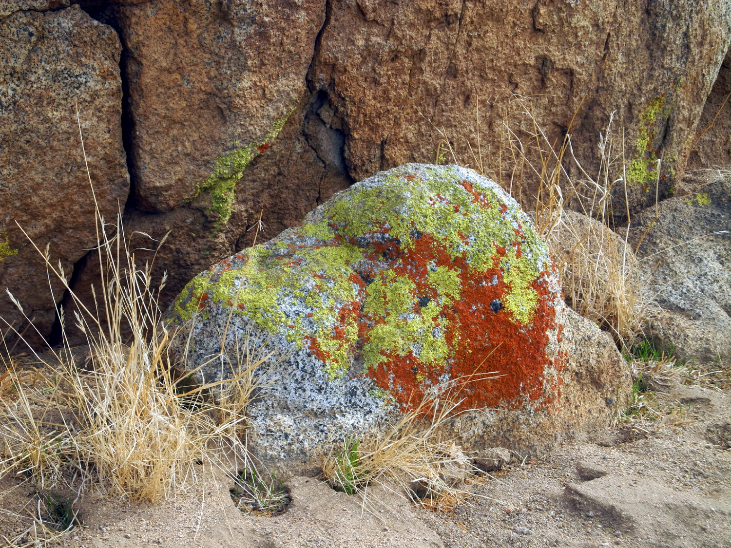
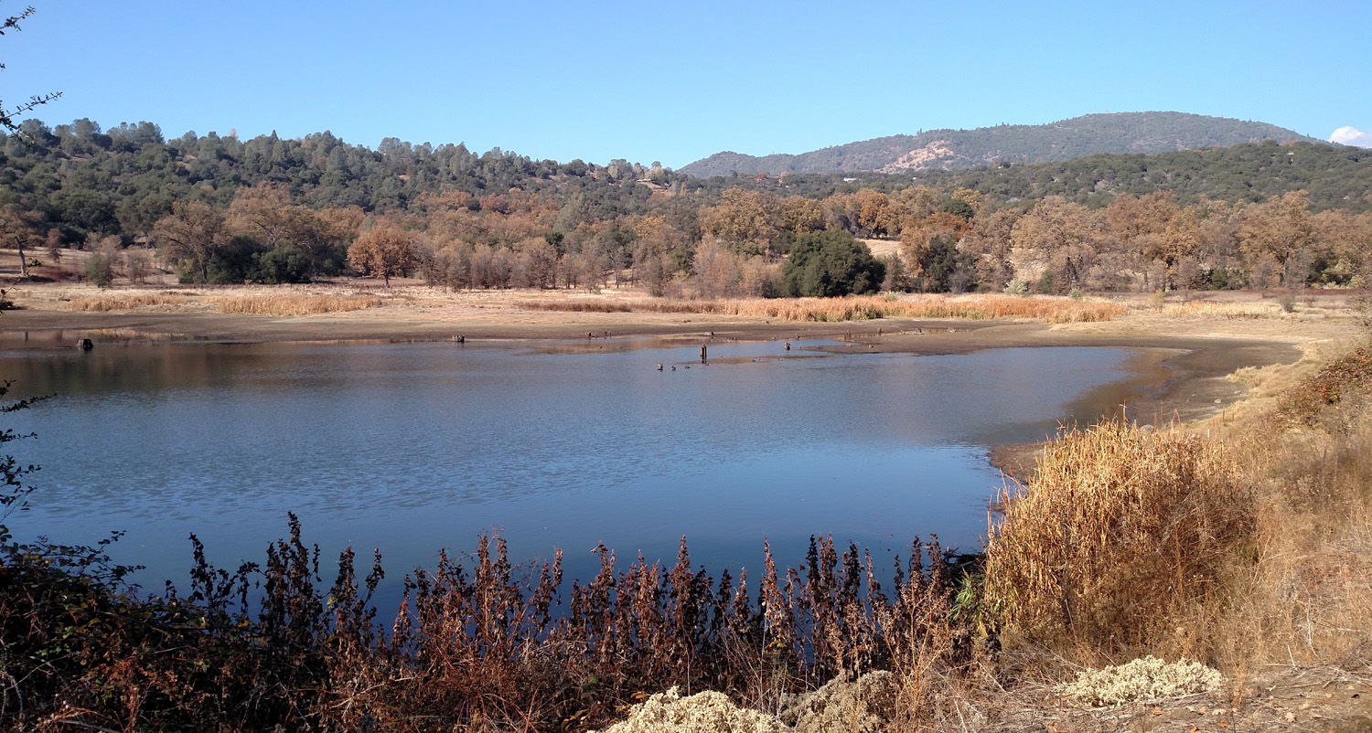
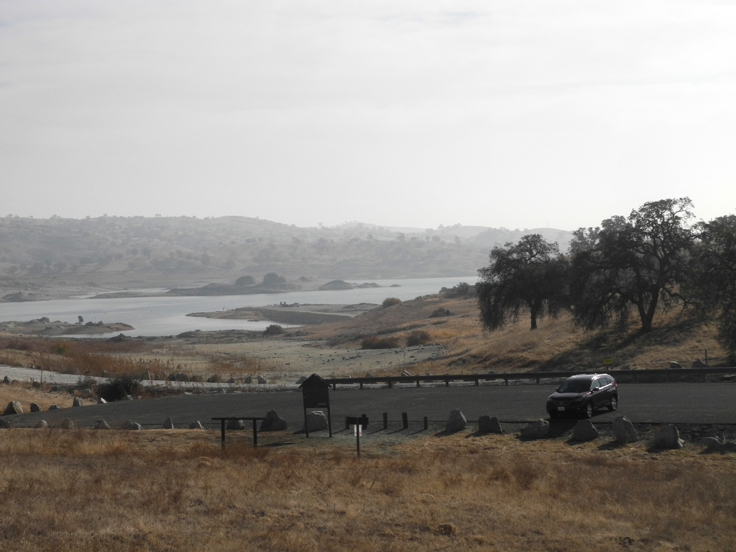
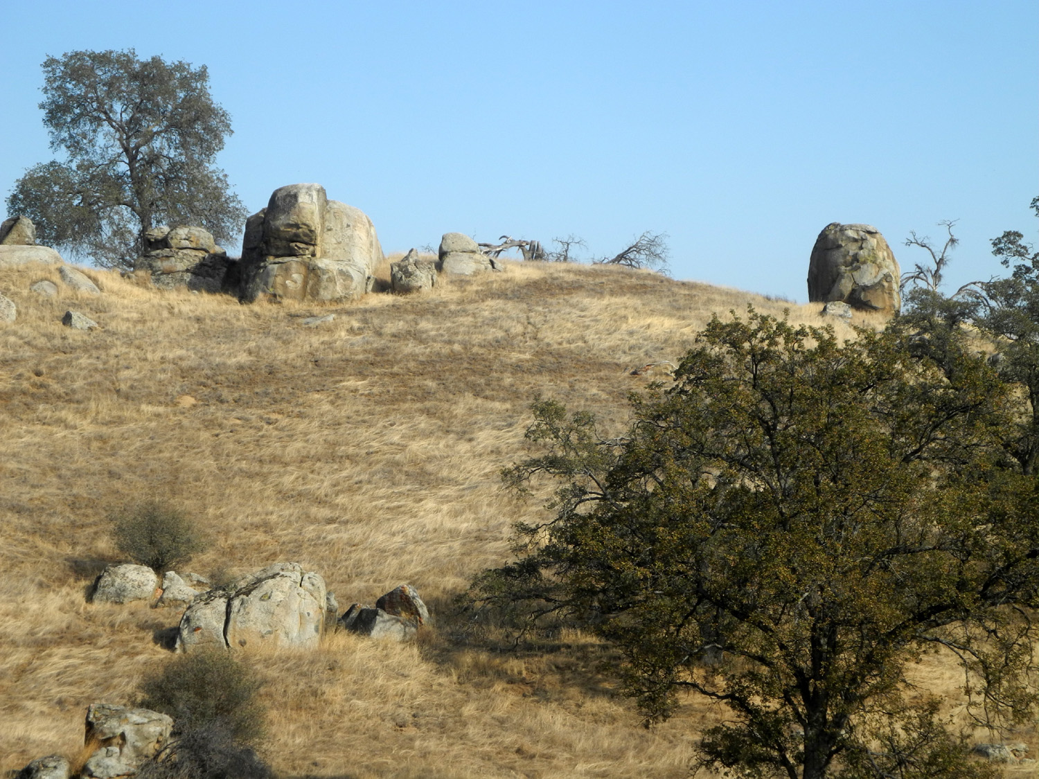
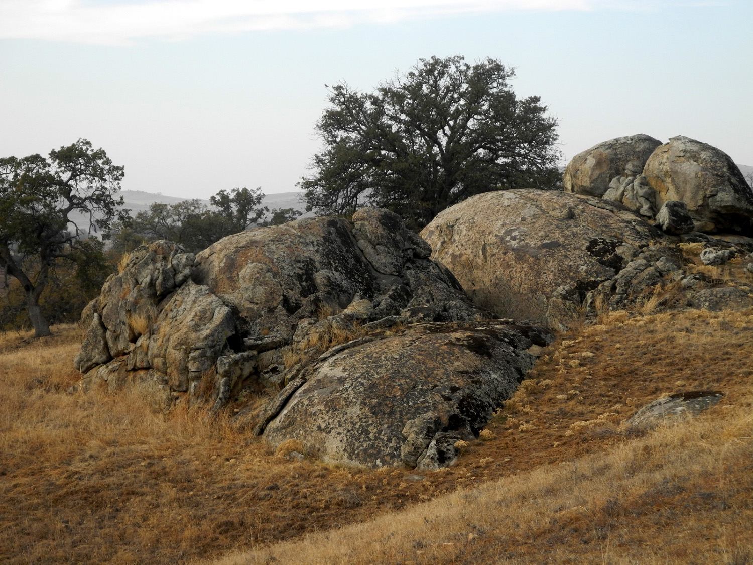
This is another place I've hiked at a lot of times. Previous reports are linked here. I hike on the trails in Clovis fairly regularly, but I've been feeling the need to get out in the country. On December 8 I drove the 35 miles to Hensley Reservoir, on the Fresno River in the foothills of Madera County. Because of the pandemic the campground and boat launch ramps were closed, the port-a-potty by the trailhead was gone, and no fees were being collected. As expected, the water was low and the grass brown. The tiny rainstorms we have had before this date were not enough to get the foothill grass growing, but the area still offers an enjoyable walk. I saw several hawks, buzzards and ravens, but no mammals. I also did not see any other hikers, although footprints on the trail show that it's being used, even in these challenging times. I saw only three other vehicles while I was there. The trail goes up and down (and up and down and up and down) through the low foothills, between granite outcroppings and blue oaks, many of them dead. There are views of the lake in several places along the trail, and benches every so often where you can stop and rest. One thing I noticed that was different this time is that they have somehow made the hills steeper. |
|
 |
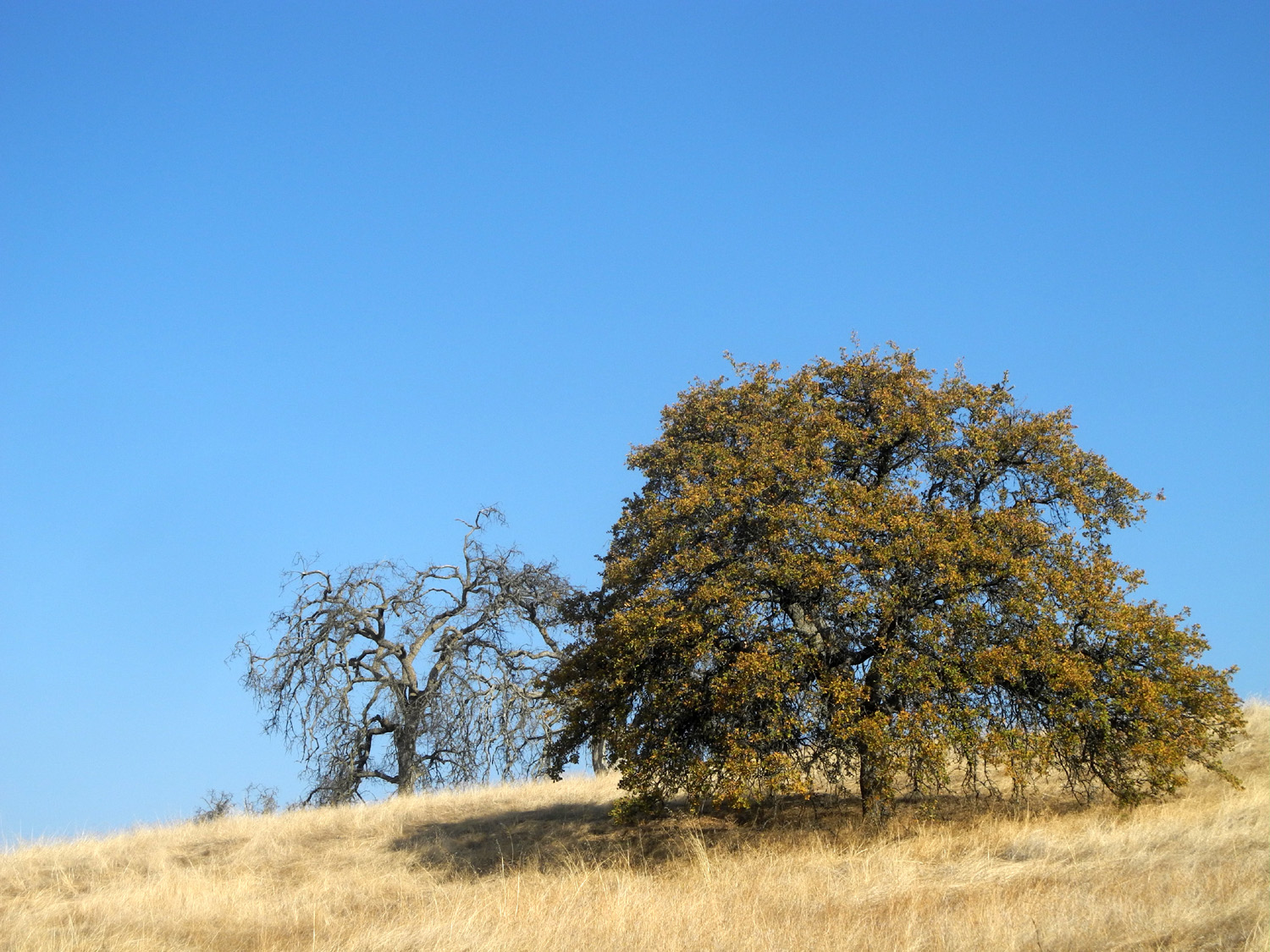 |
| The trailhead parking lot and the lake | Blue oaks, one dead, one alive |
 |
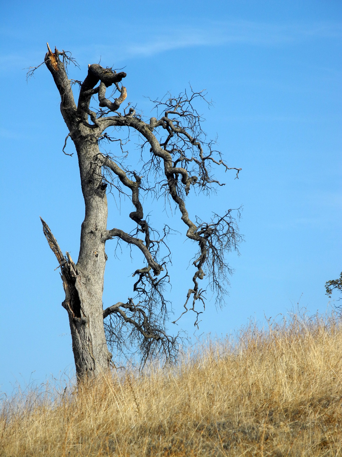 |
| We call this location Rocky Ridge | Gnarly dead blue oak |
|
Although the sign says this loop trail is one mile, like many such measurements, the reality is different - my hiking app showed that I went 1.31 miles, with a little less than an hour of actual moving time. I started off with a sweatshirt over a long-sleeved t-shirt, but put the sweat shirt into my back pack at the top of the first hill. On my trip home I took a different route from usual, on a series of paved and dirt roads that return to Highway 41 just south of the Highway 145 junction. Driving through cattle country, I saw at least twice as many vehicles on this route as in the park, all but one of them pickups. The
other thing that was different was that I could not enjoy a post
hike lunch in one of my favorite restaurants, but at least I had
left-over pizza waiting for me at home. --Dick Estel, December 2020 |
|
| Two
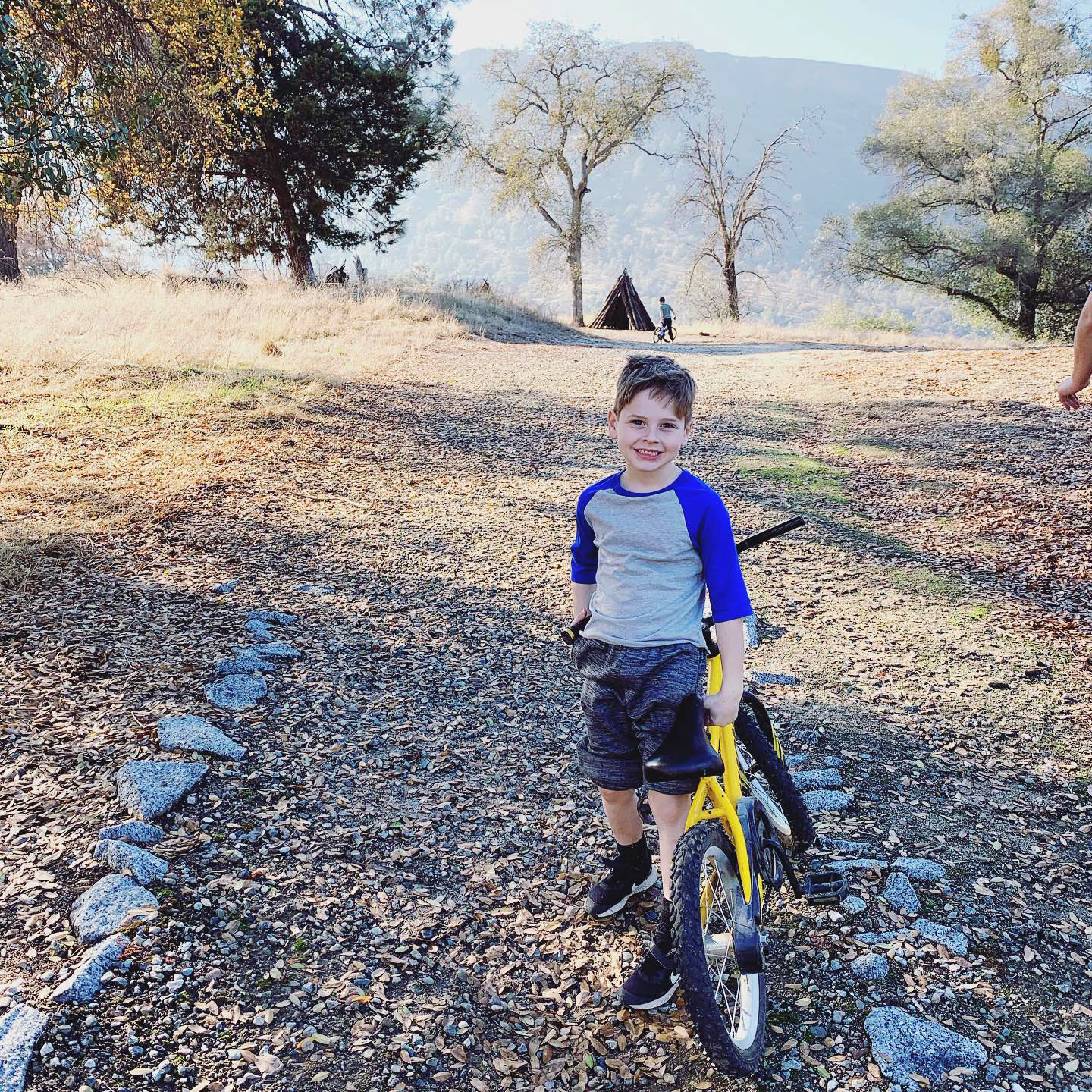
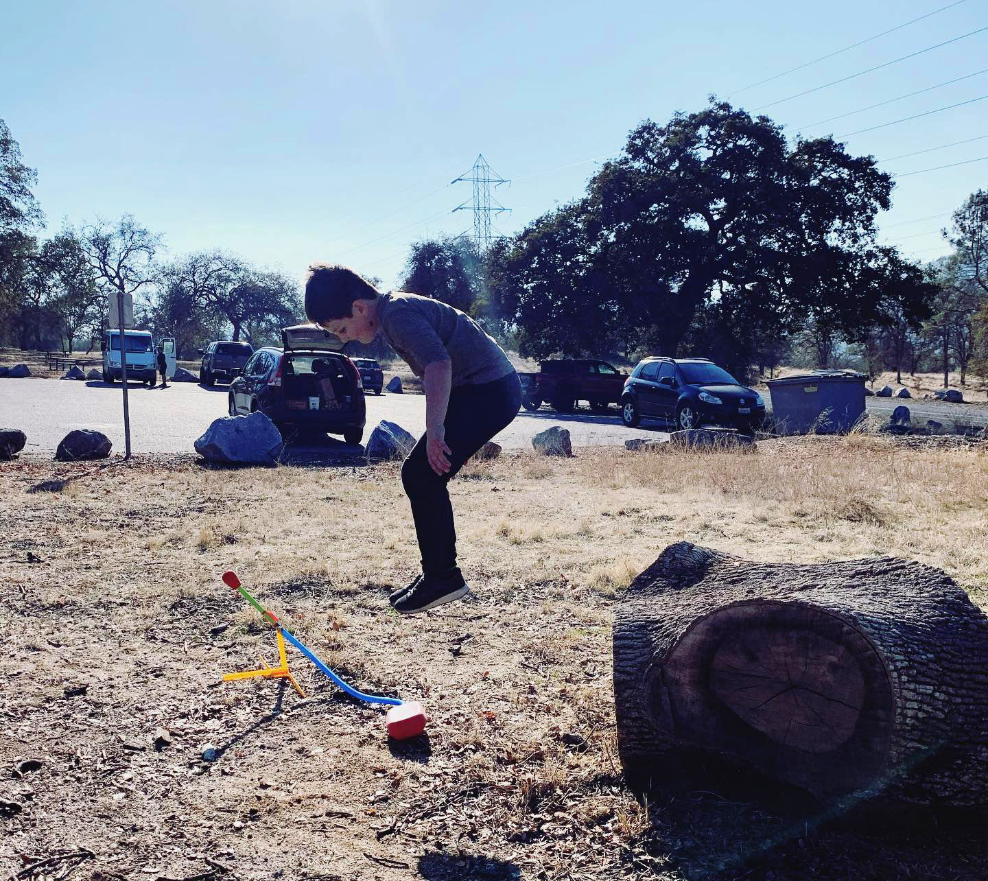
Trips to the San Joaquin Gorge (Photos by Brittany Upshaw & Dick Estel) This is a place I try to go to several times each year, and as I started this report, I was somewhat surprised to find that I had been able to make three trips during the first quarter of the year. Other trips were planned, but the facility was closed some time in April, and did not re-open till the fall, due to the global pandemic. Even so, we managed two trips in December. We have tried to have our family Thanksgiving in the mountains or foothills since 2015, although we have not always succeeded. This year we skipped the family gathering in November, but decided to do Christmas at the San Joaquin Gorge on December 19. It was a small group - besides myself, it was my daughter Teri, her sons Mikie and Johnny, and Johnny's family - Brittany and sons Colton and Jack. We had excellent weather, about 60 degrees with only the slightest breeze, and warm sunshine. We were prepared to build a fire but didn't need it and saved our wood for later. We had a very informal lunch, and the boys opened presents, rode their bikes, played with the stomp rocket, and enjoyed just being outside in the country. |
|
 |
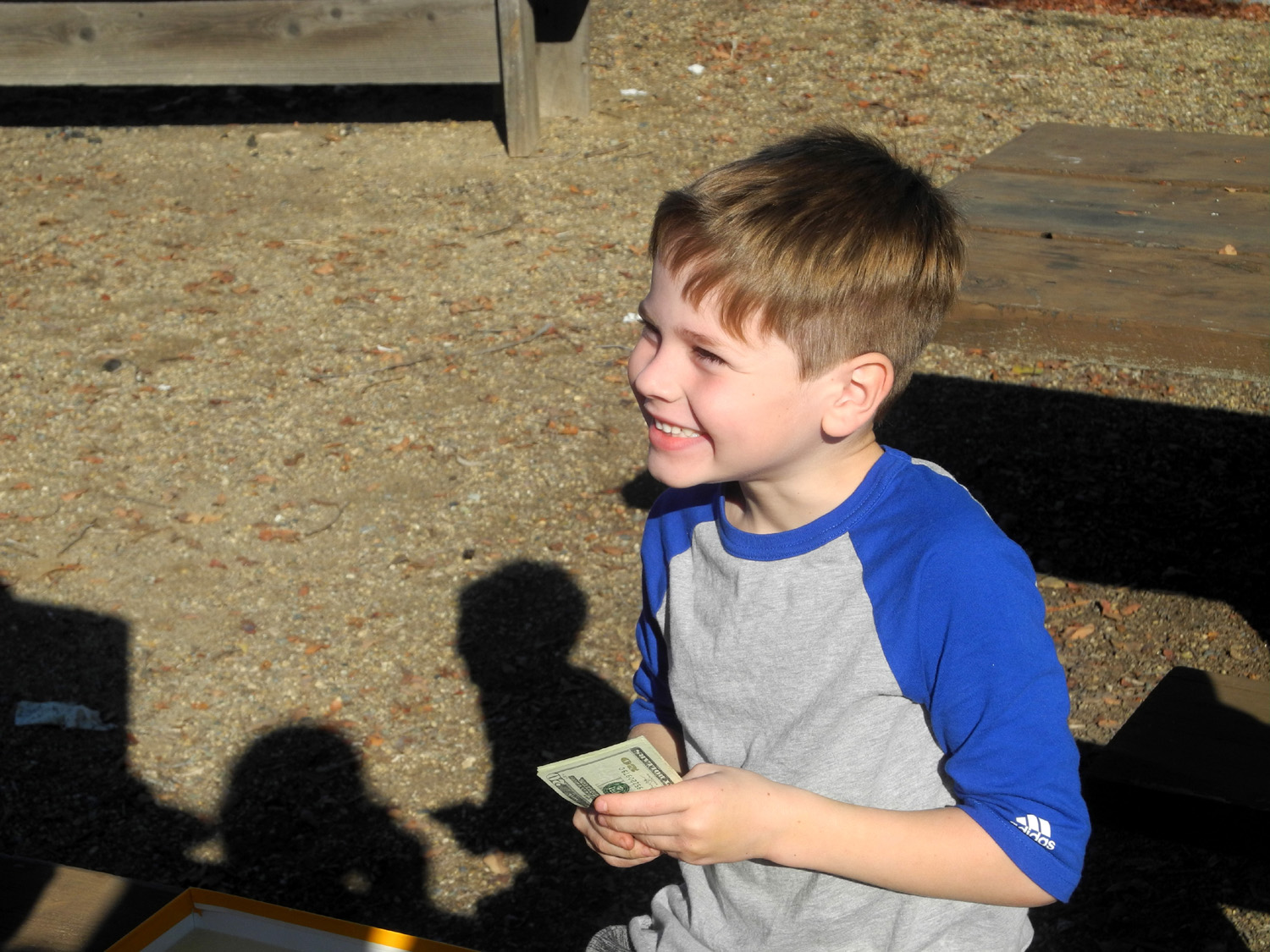 |
| Cash and candy for Christmas | What Jack thought was $20 turned out to be $100 |
 |
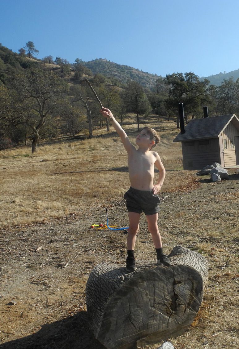 |
| Colton gets lots of air before launching the stomp rocket | If you know Jack, this is normal |
|
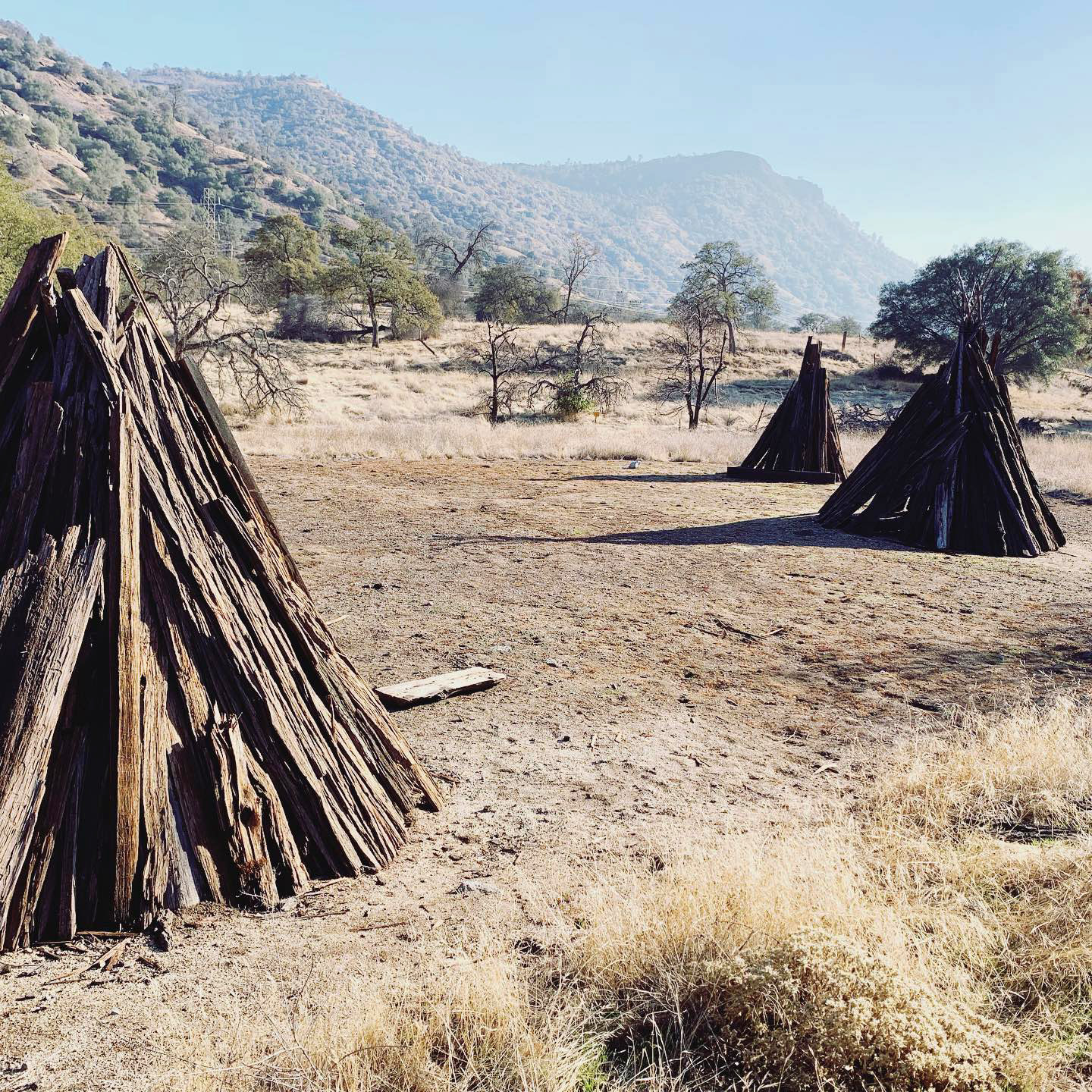
We did not hike on the trails as we usually would do, but walked about 200 yards down the road from the group camp parking lot to an area where there are a number of native American cedar bark shelters. There are a few picnic tables here, and I believe this area is used by the local natives for ceremonies. There is a large boulder which appears to have some bedrock mortar holes, although much of the top shows natural weathering, and it's hard to tell which hole is natural and which is human-made. |
|
 |
 |
| On the big boulder | Colton with a cedar pole at a cedar bark shelter |
|
When we loaded up our stuff and headed home, we were surprised to see that we had been there only four hours. With all the fun everyone had, it seemed like it had been much longer. |
|
|
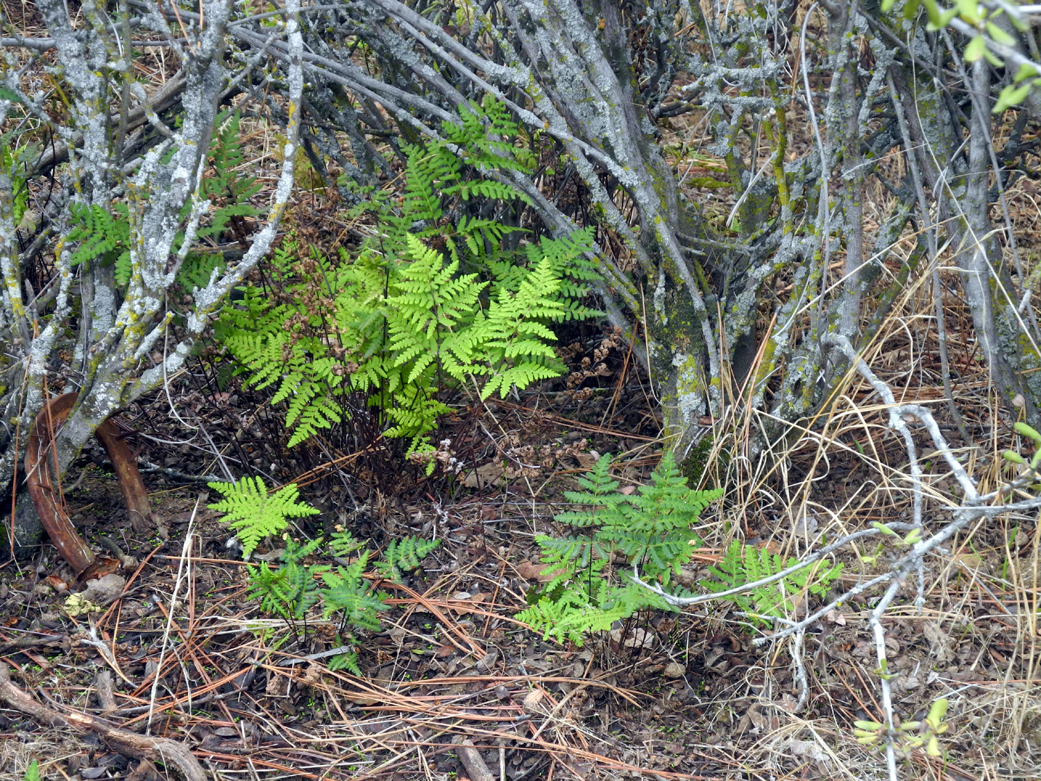
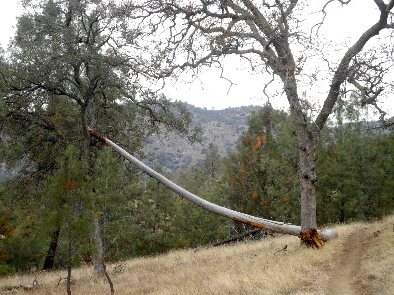
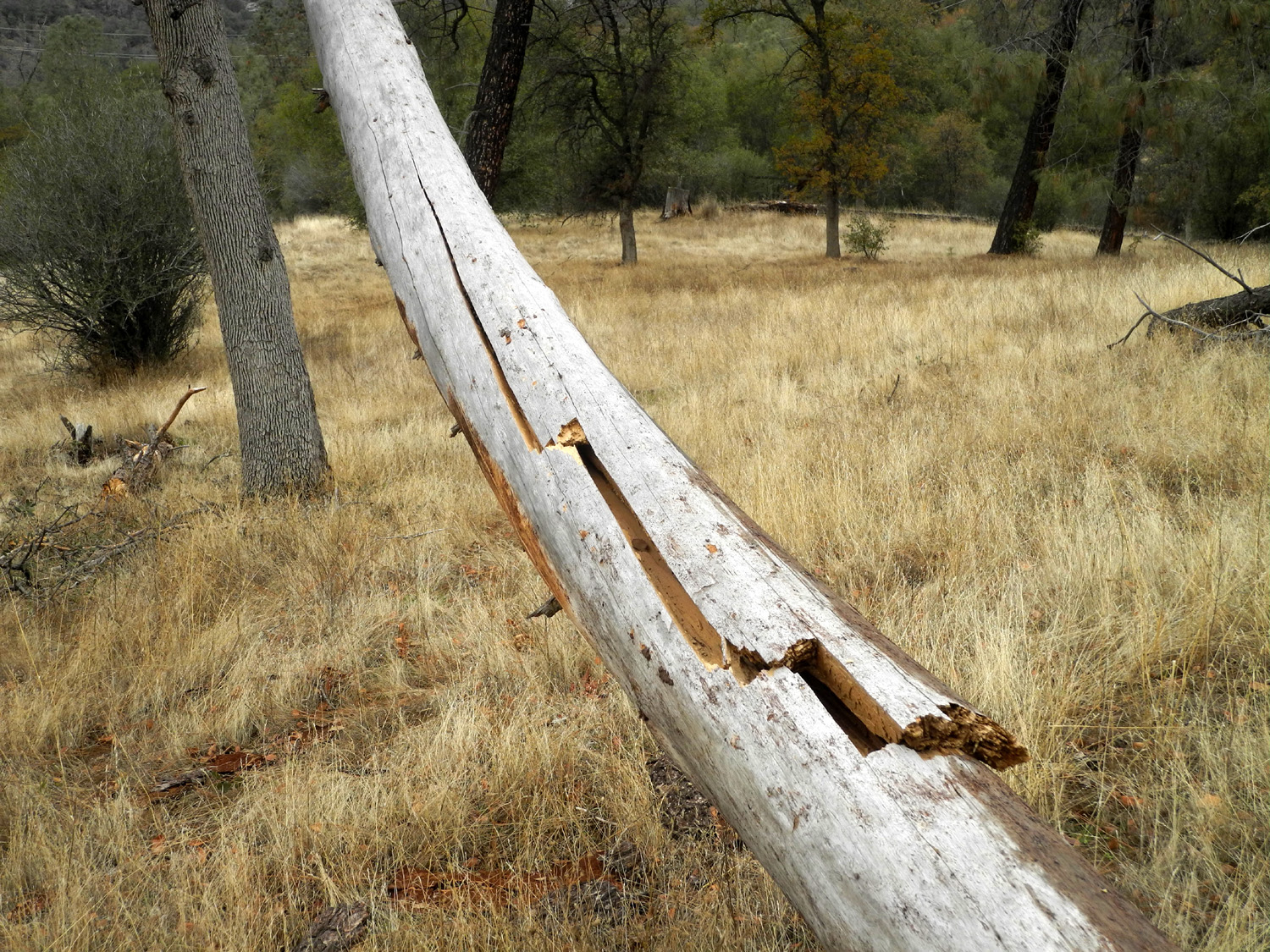
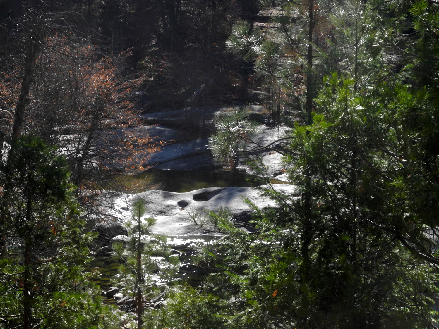
Since we did not hike, Teri and I decided to return a few days later, on the 24th, to walk a section of the San Joaquin River Trail from the main parking lot. Once again we had fairly good weather. It was mostly cloudy but not dark, and it was comfortable to wear a sweat shirt over a t-shirt. We wore gloves much of the time. We've finally had enough rain to get the grass and ferns started. There are no flowers, but the plants that will produce them have started to grow. At one point we came to a place where a long-dead bull pine had fallen across the trail, landing in another tree that prevented it from going all the way down. The bottom of the tree had been cut away to allow free passage. |
|
 |
 |
| Chaparral thicket provides shelter for new ferns | Under the old dead grass, the new crop is off to a good start |
 |
 |
| This dead pine fell across the trail; the lower section has been removed | A closer look |
|
A little over a half mile down the trail there was a blue oak with the biggest burl we've ever seen. It fell in 2019, breaking off above and below the burl, but it's still an impressive sight. There is an old fallen tree here that is perfect for sitting, four or five bedrock mortars, and one of the largest creeks on this trail, making it a perfect place to stop and rest. We
continued on past this spot far enough to get in a two-mile round
trip hike, and enjoyed our lunch at one of the picnic tables by the
parking lot. We vowed to return when the spring flowers make
visiting this area even more enjoyable. Final Notes: There has long been a plan to build a new dam on the San Joaquin River at Temperance Flat, at the upper end of Lake Millerton. This project would flood all the hiking trails, the campground and parking area, and the location of the visitor center. We were delighted to see news about a week ago that this project is off the table for now. While we do not deny the long-term need for additional water, I do not believe that everything possible has been done to conserve the existing supply, and unnecessary pressure is being placed on the available water by questionable crop choices. There are virtually no other recreational areas like this in the central Sierra foothills, and It would be a crime to destroy this one. It seems like I have photographed everything of interest on both sides of the river at this location, so I took very few pictures on this hike. On line I have a San Joaquin Gorge Photo Album, as well as a slide show with many views of the terrain and the vegetation, and new photos are added to it when something of special interest is seen. In
addition, there are at least forty
reports on previous visits to the area. --Dick Estel, December 2020 |
|
|
Photos (Click to enlarge; pictures open in new window) |
||
|
Ahwahnee Hills & Wawona |
||
 |
 |
|
| Black oak leaves against evergreen | Looking down stream from the bridge | Teri on the bridge |
 |
 |
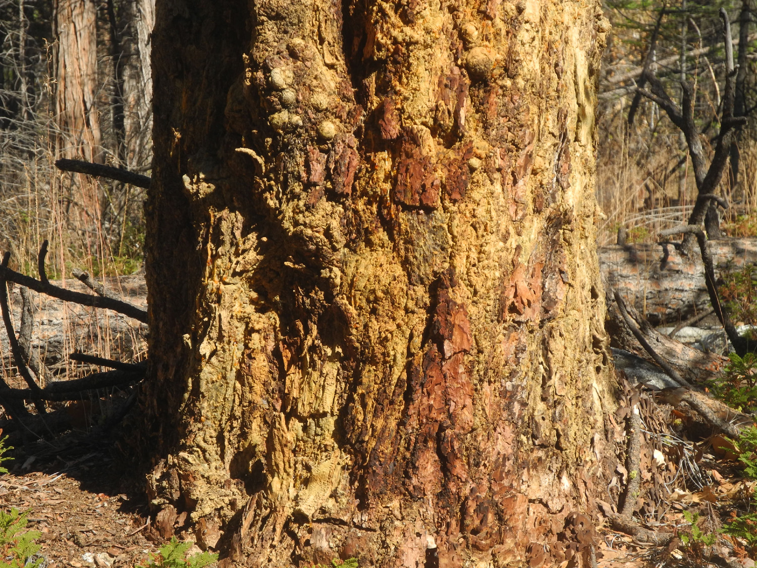 |
| A close-up | The river from the north side trail | Pitch oozes out of the base of this pine tree |
| Hensley Reservoir | ||
 |
|
 |
| Last year's rainfall
created these little canyons, some two feet deep |
Orange and yellow lichen | Big granite outcropping by the trail |
| San Joaquin Gorge | ||
 |
 |
|
| Native cedar bark shelters | Jack, triumphant | Jack on his bike at the shelters |
| Related Links | ||
| Ahwahnee Hills Regional Park | Wawona | Yosemite National Park |
| Swinging Bridge Trail | El Cid | Pizza Factory |
| Previous Hensley Hikes | Hensley Reservoir | Fresno River |
| San Joaquin Gorge Photo Album | San Joaquin Gorge Slide Show | San Joaquin Gorge Management Area |