|
Dick's Adventures of 2026 - Part 2 |
|
| Photos Related Links More Travel Reports | |
| Adventures
of 2016 Adventures
of 2017 Adventures
of 2018 Adventures
of 2019 Adventures
of 2020
Adventures of 2021 Adventures of 2022 Adventures of 2023 Adventures of 2024 |
|
| Edison Point Solo Hike Cat Sitting & Lewis Creek Nelder Grove with Jack Birthday at Nelder | |
| Edison
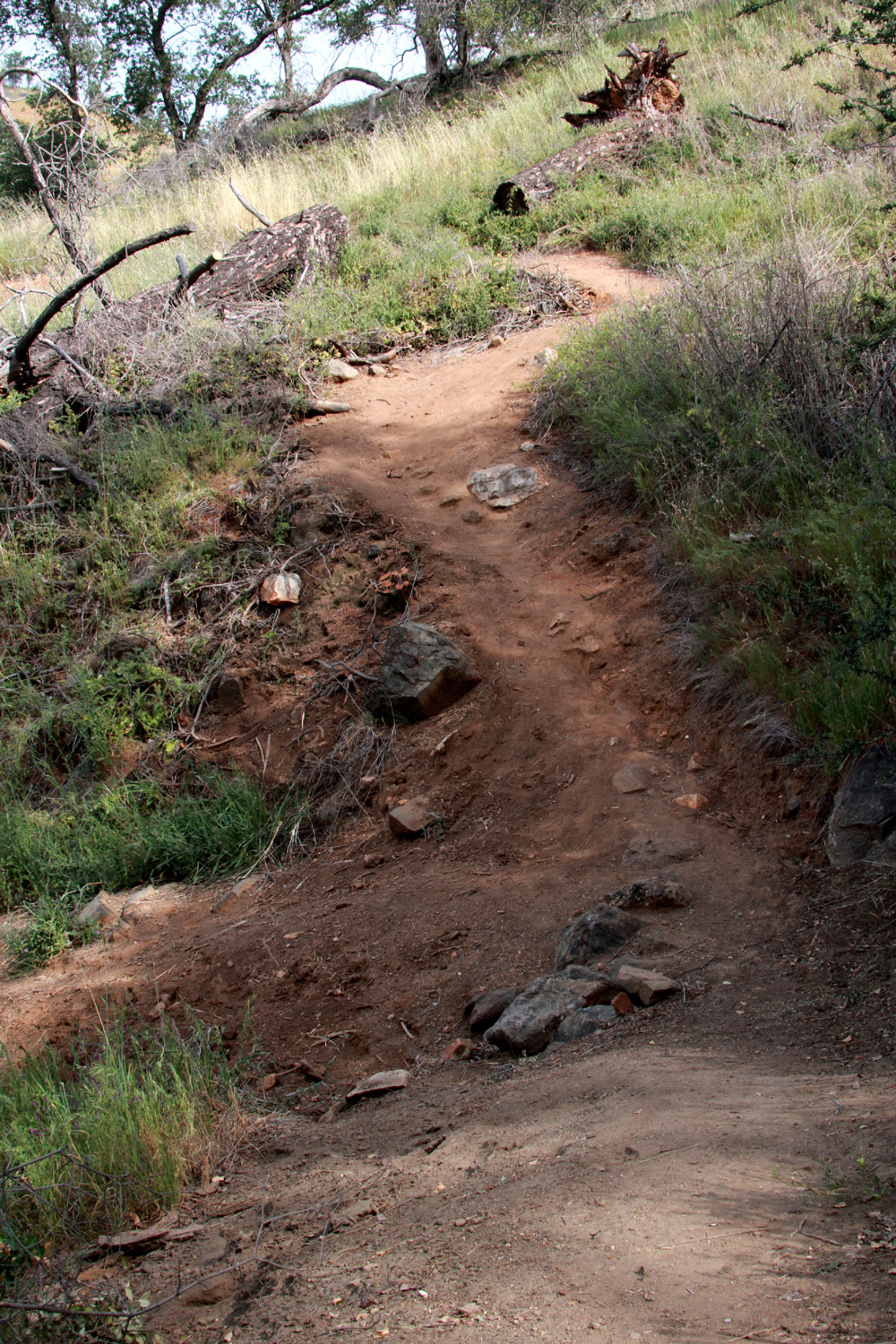
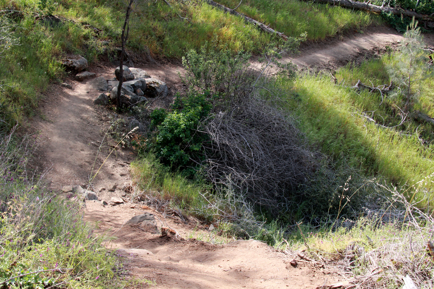
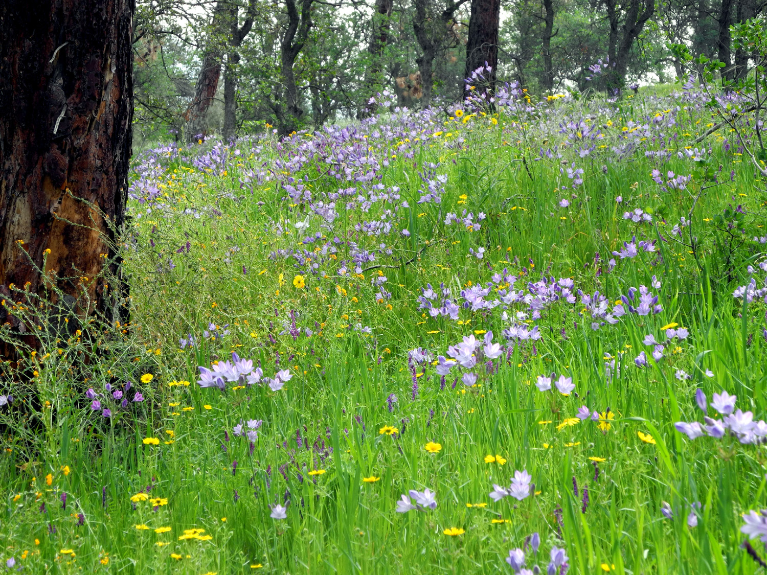
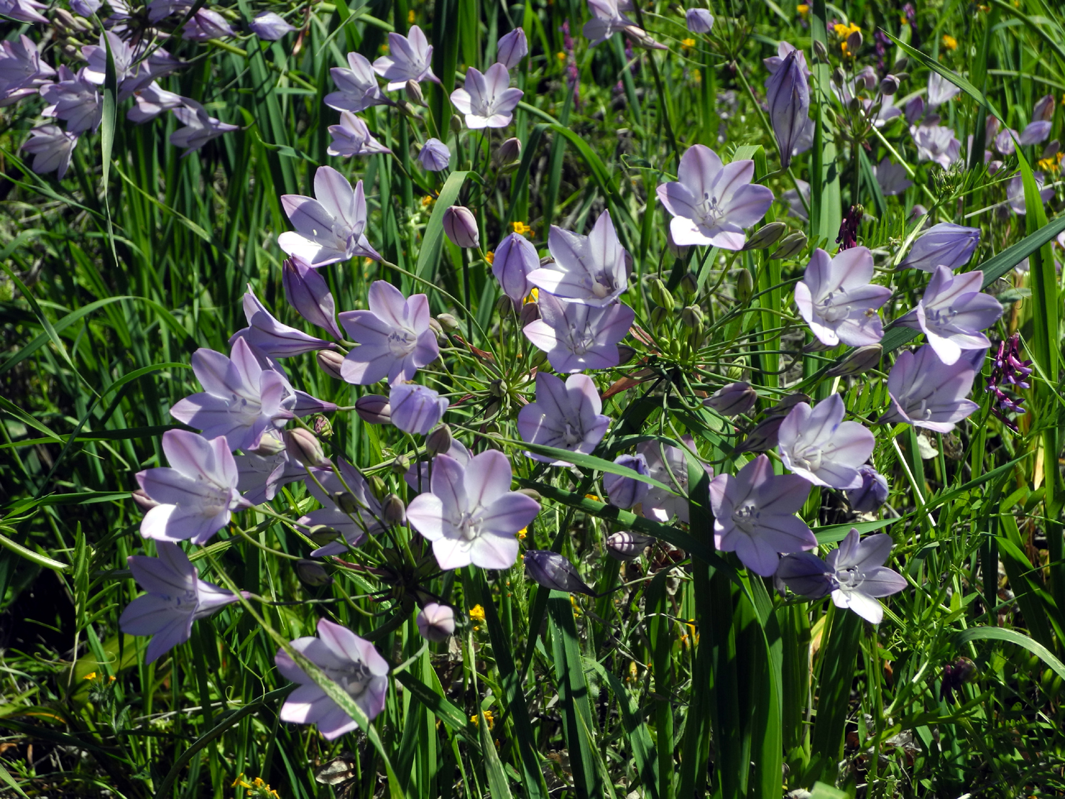
Point Solo Hike When I hiked the full loop trail here in 2015, I came to a shady hillside a few hundred yards from the end of the trail where there were hundreds of purple brodiaea. I returned several times, hoping to repeat the experience, but only once, the following year, did I find them in such abundance. The full loop soon became more than I cared to do, but I hiked in from the trailhead to that location (counter clockwise on the loop) a few times. With the weather warming up quickly, I wanted to get in one final hike in the Pine Flat Lake area, so I decided to go on March 30 and seek the elusive brodiaea one last time. I soon realized that even this short section of the trail is "no country for old men." Part of the reason is that I have aged more than ten years since those early hikes. But the biggest reason is the horrible, stupid "design" of the trail. When we first hiked here it was badly overgrown. We had to go up or down from the trail to get past several large logs. These were removed, and a crew wielding tools scraped all the vegetation from a three-foot wide strip around the loop other than the part that is a service road. However, they did not carve out a level path in the hillside, just removed the grass. The result is a trail that slants down across the trail at angles up to 45 degrees. Add to this a number of very steep sections covered with pebbles and loose dirt, and the route is an invitation to disaster. So this report will document my last visit to this part of the Edison Point loop trail. |
|
 |
 |
| This is
a very steep section with loose pebbles to take down the unwary hiker |
Another sketchy spot |
|
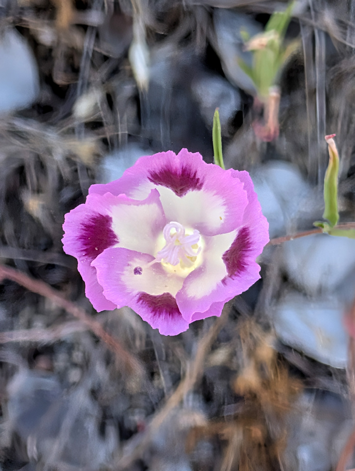
But enough complaining. Despite the problems with the trail, I had a great time. There is still a lot of green grass, and quite a few flowers. The ones we see later in the season are here. The blossom called farewell-to-spring typically appears well before the calendar says it's time, but in recent years they arrive even earlier. There were a few last week, the FIRST week of the season, and quite a few more this week, both on the trail and by the road. White lupines were reaching the end of their season, vetch was again the dominant flower, and the ones I came to see, the purple brodiaea, were mostly gone to seed. |
|
 |
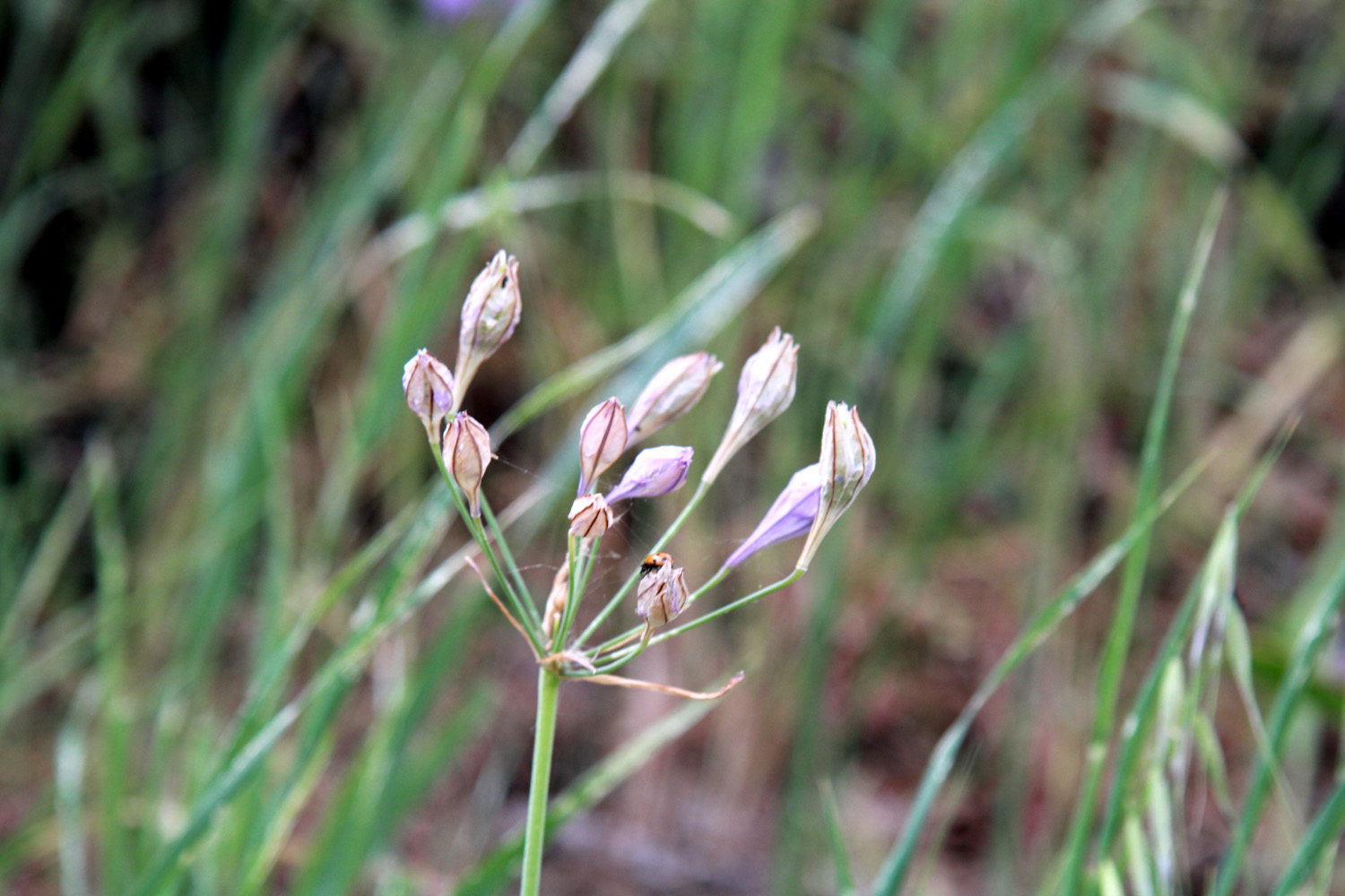 |
| One purple brodiaea, still looking good | Most of them were like this |
|
I made my way to the shady slope where the brodiaea appear and a little beyond, but I had to concentrate so hard on being careful that it was not much fun, so I soon turned back (but I'm NOT complaining). I got back up to the car and sat in my chair a while, eating a couple of granola bars and chatting with a couple who had hiked the upper (easier, safer) part of the trail. Shortly after I started down I heard people behind me. First there were two men, one carrying a rolled up shade and some other items, the other pushing and pulling, with some difficulty, an ice chest on wheels. Later two more men followed, carrying fishing poles and other items. Eventually I could see that they had made it down to the water's edge and set up their shade. |
|
 |
 |
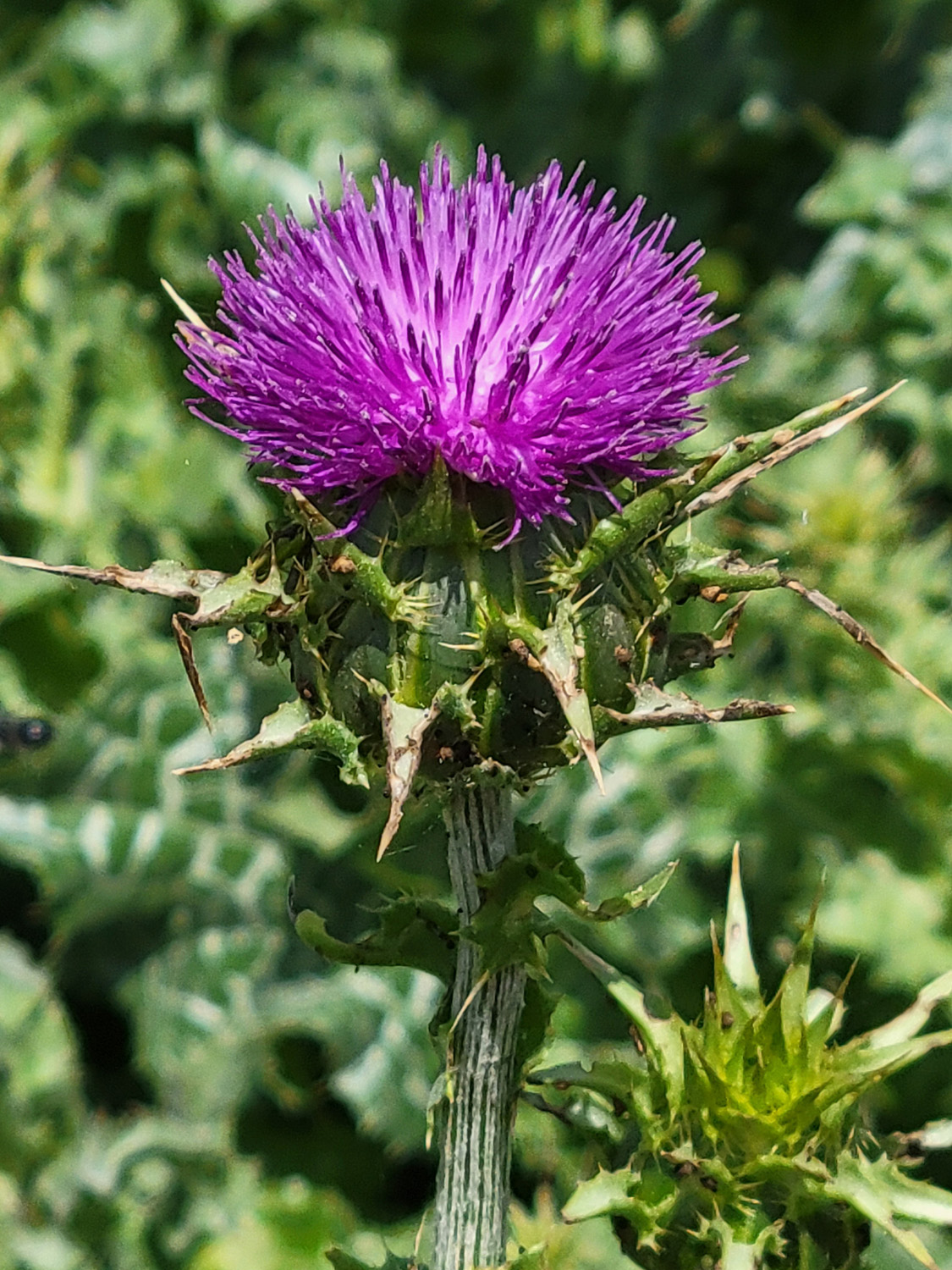
| It's an invasive species, but still beautiful | The
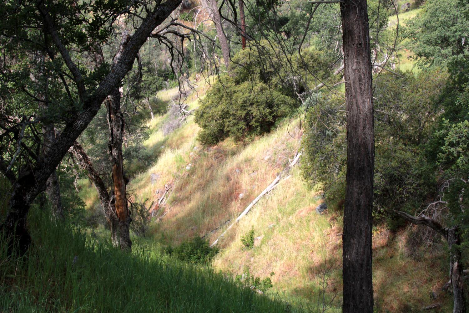
grass is turning on the sunny side of this drainage, but is still mostly green on the side where it's more shaded |
|
Before I left home I had decided not to go out to eat after the hike as I usually do, but at the farthest point I hiked I realized I deserved a reward for my efforts, and went to In-N-Out for the second Monday in a row. On my previous visit, there were few people in the restaurant and no line; this time there were several people in line and most tables were occupied. Only after I talked with my daughter about my day did I realize it was the first day of spring break, which explained the large numbers of young folks present. A boy who plays soccer with my great grandson Jack was there with a friend and some family members. --Dick Estel, March 2026 |
|
|
Cat Sitting and Lewis Creek My younger daughter in Oakhurst is a teacher. So when there is a school break, she and husband Rod often head for Tahoe for some gambling, dining and relaxation. This is when I get called to serve as their cat sitter, a job I enjoy for several reasons. I like cats, but don't want to live with one, so I get my cat fix taking care of Peanut, Newton and Pebbles. Their location, five miles above Oakhurst, is close to various hiking trails, so I can get in a hike with only a short drive. And they always leave generous gift cards for a local restaurant or two, so I can let someone else cook and serve my main meals. As I approached Oakhurst, on an impulse I turned off Highway 41 at the top of Deadwood Grade and took Road 425B. This route winds down the mountain to the Fresno River, where it joins a main street that goes back out to 41. My main interest was to check on two Joshua trees I had observed some years ago by a house on 425B. It seems like an unlikely place for them, but the Sierra foothills and their high desert natural habitat both have hot summers and a dusting of snow in the winter. Time has not been good to Oakhurst's Joshua's. One looked like just a tall stub, as if it had been broken off by a heavy snow. The other was showing normal tangled growth, but its appearance was diminished by a growth of vines in the tree, and other trees growing up around it. As near as I can tell, my last cat sitting job was in December of 2024, so it was overdue and more welcome than usual. I arrived at the Neely home late in the morning of June 8, where I was greeted with great enthusiasm by Peanut, mostly indifference by Newton, and unwarranted fear by Pebbles. For reasons unknown, Pebbles is the only Neely cat who has never allowed me to get close. If she is in the living room and I approach, she scurries past me as fast as possible and hides under the bed. Peanut makes up for it by being almost excessively affectionate. Even so, I treat all three equally when it comes to distributing the daily treat of wet cat food and cleaning out the litter box. |
|
|
|
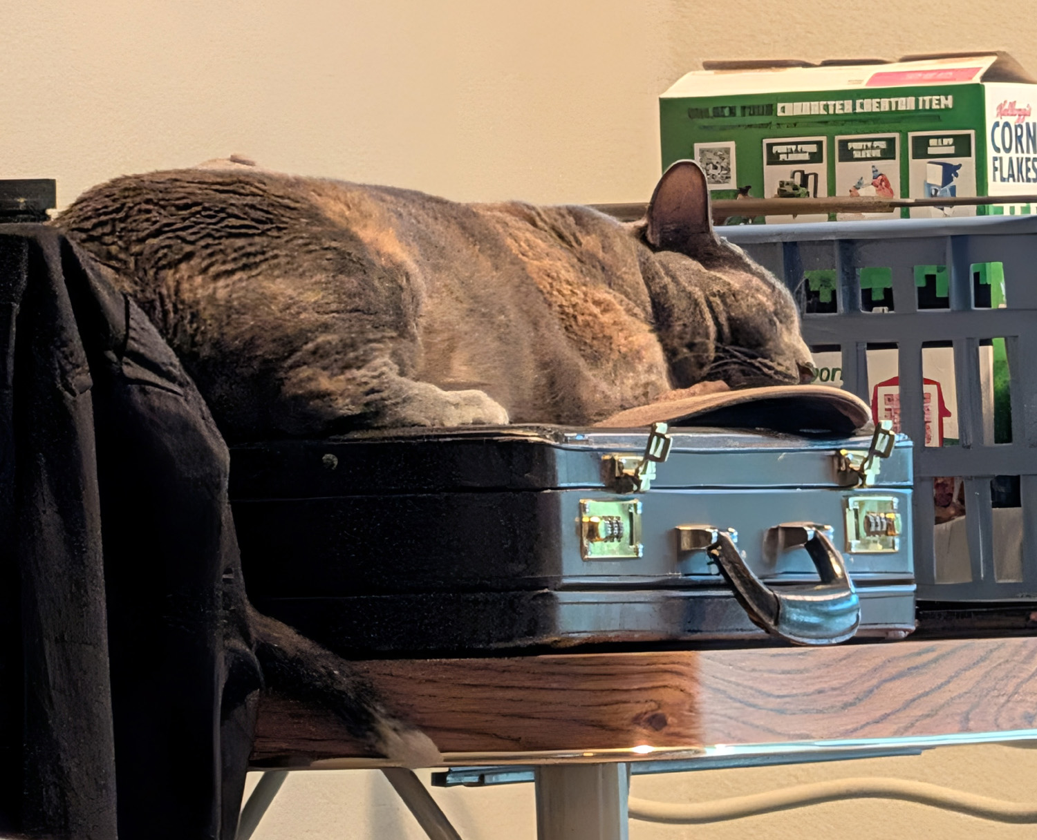
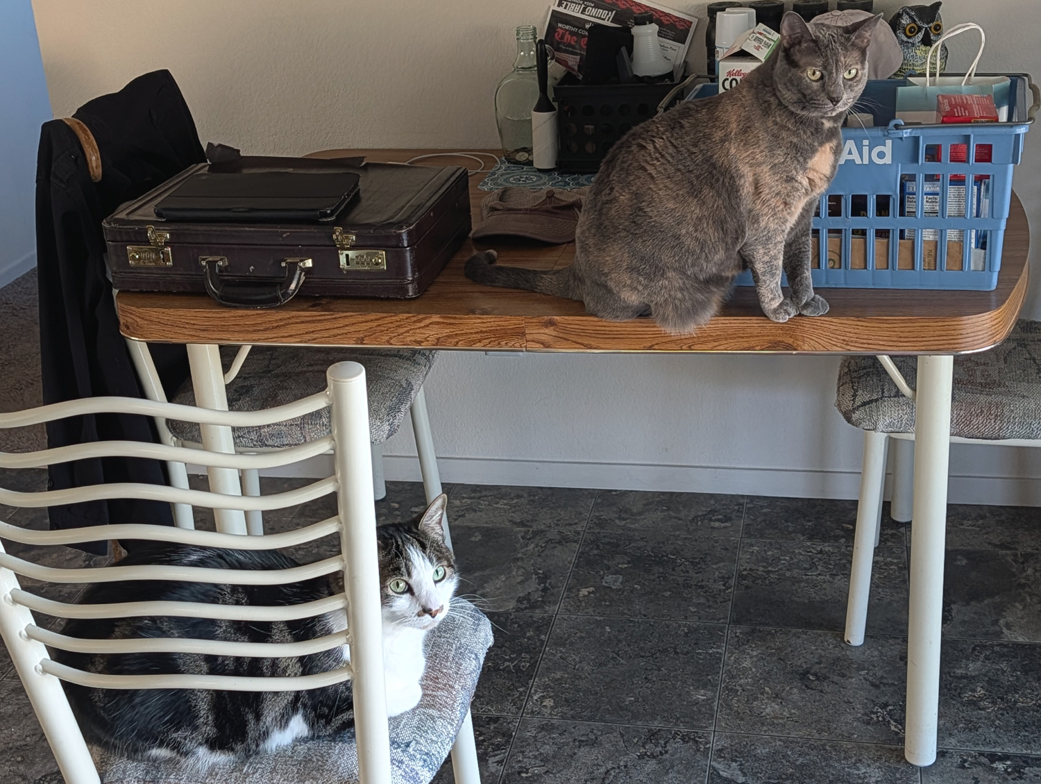
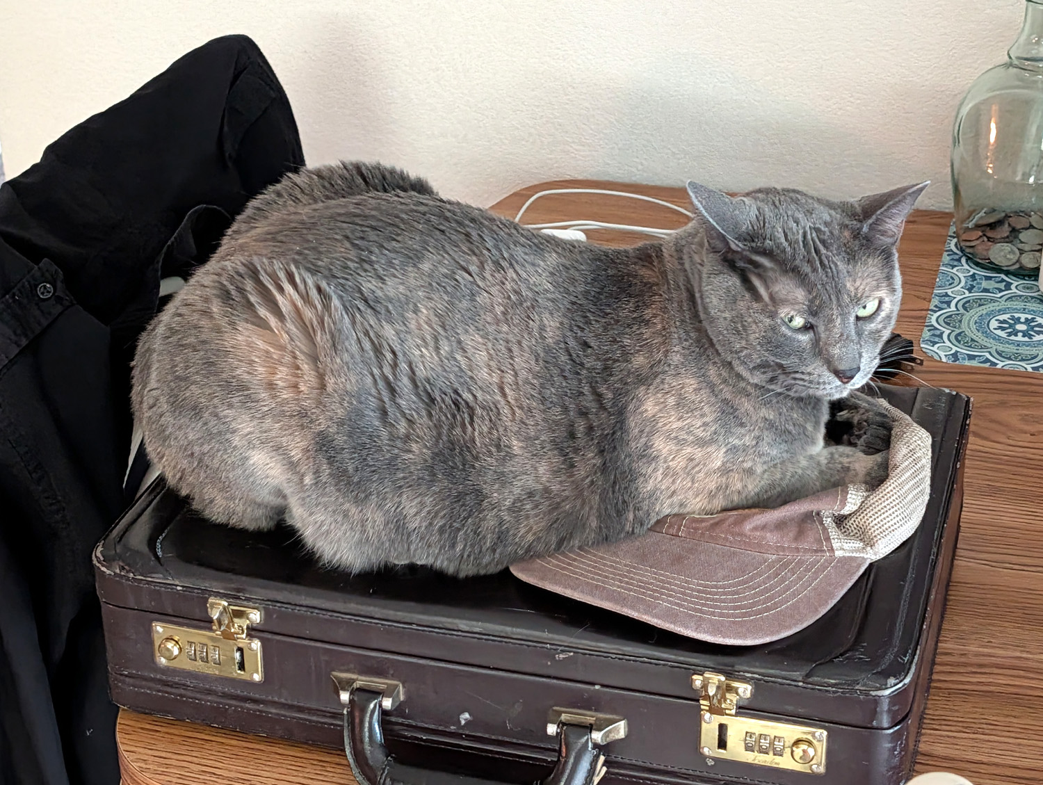
| Newton on chair, Peanut on table | Peanut spent at least two hours sitting and sleeping on my briefcase |
|
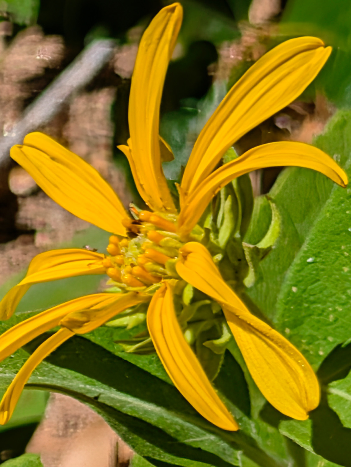
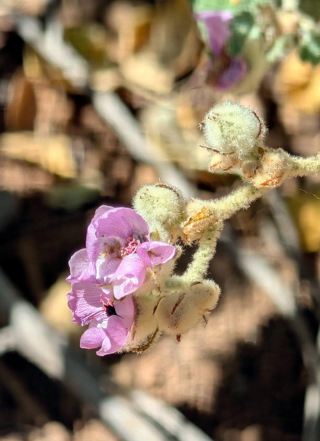
Once I had greeted the cats and brought my stuff in, I took advantage of one of my gift cards and drove the short distance into the northern edge of town and the very excellent El Cid Mexican restaurant. I had a two-item combo with rice and beans, and somehow ate most of it, instead of leaving with half of it in a to go box as usual. At the Neely estate, I started to walk the short loop trail they had constructed on the property many years ago. Rod has had a bad back and some other health issues, and has been unable to maintain the trail, and it was overgrown with tall dried grass and stickers, so I did not go past the very start of the trail. Instead I went to the south end of the property and walked out the old road that goes a short distance to the edge of their property. For the most part, this path was clear, and offered some interesting flowers along the way. |
|
|
|
| A big showy blossom | These delicate flowers grow on a big weedy looking plant |
|
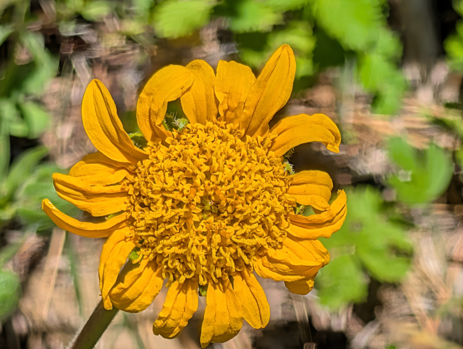
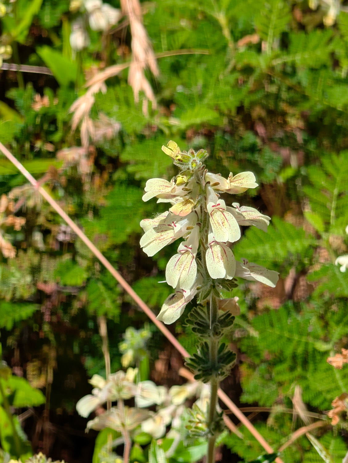
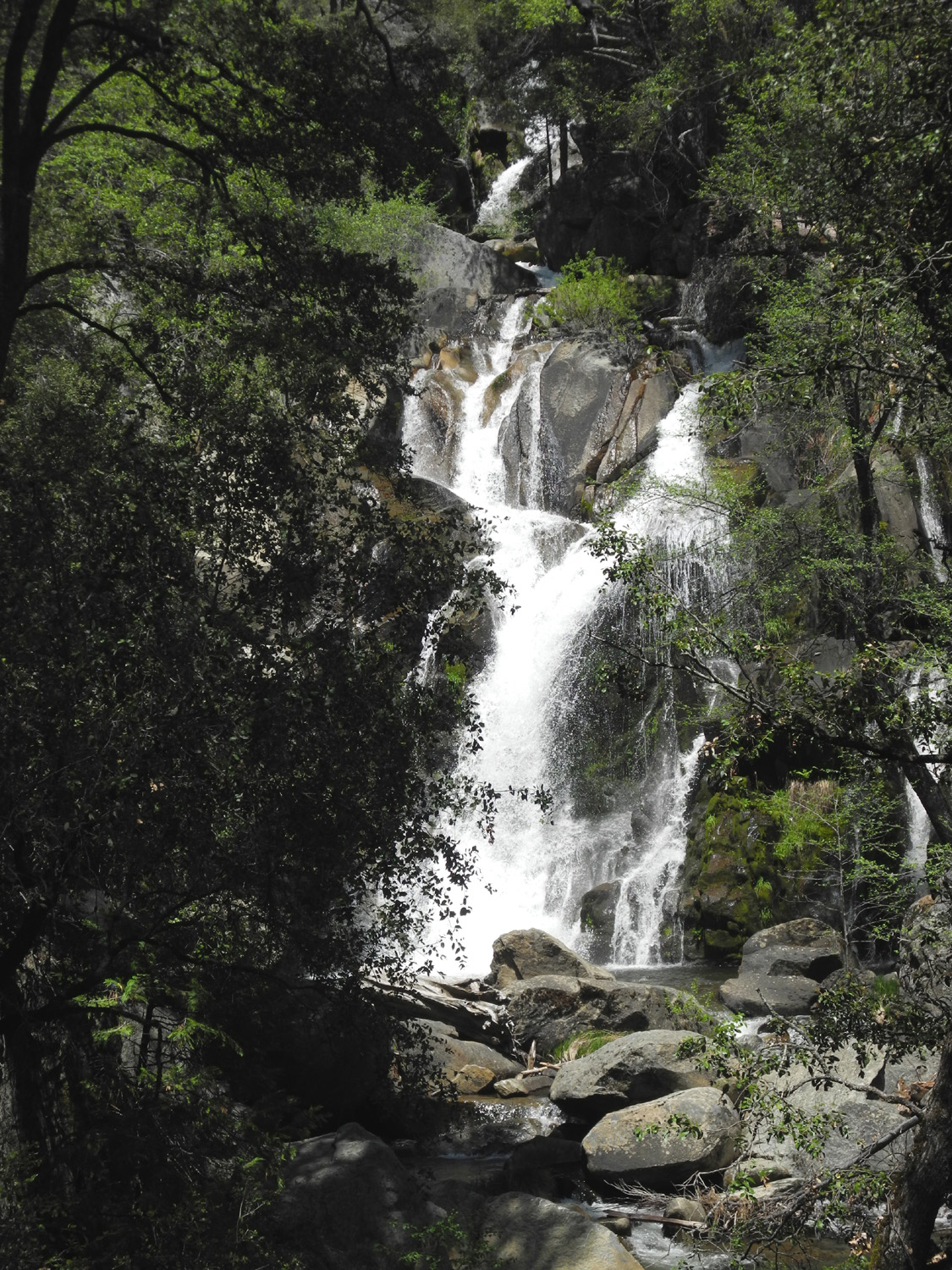
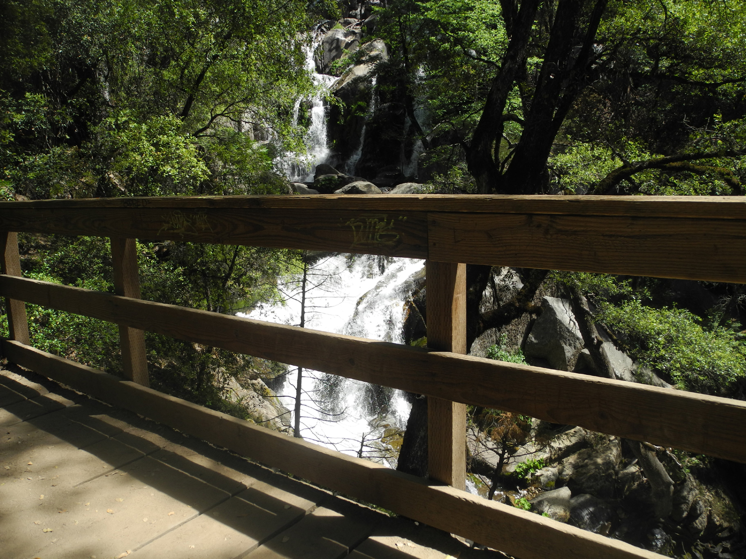
On Tuesday I drove up Highway 41 to hike on the Lewis Creek Trail. This trail runs from Cedar Valley north to Sugar Pine, a residential area that was once the headquarters of one of the logging companies that worked in the forest in the late 1800's and first half of the 20th Century. I could not find the trailhead at this location, and signs made it clear that parking along the road was not welcome, so I went to the main trailhead, about half way between the Sugar Pine Road and Road 620 (the main road to Neely's). All the "official" parking spaces were filled, but people were parking around the edges, and I did the same. I have hiked on this trail a number of times, but I knew my outing this day would be limited. When you go down the trail you come to a fork. The left one leads to the creek and across, and north parallel to the stream. I took the other fork which eventually leads to a place where you can see Corlieu Falls, and hike down below this cascade along the creek. The trail soon becomes very steep, very dangerous for me, so I went down the first hundred yards or so to a view of the top of the falls and the creek below. For a number of years there was a nice viewing platform where you could sit and safely view the falls, but it was damaged by a falling tree a few years ago. I doubt that they have repaired it. At least there were some nice flowers along the trail and the road, and it was a joy to be out in the forest, no matter how short my walk was. |
|
|
|
| Another big yellow flower, by the Lewis Creek Trail | From a distance I thought these were lupines, but no |
|
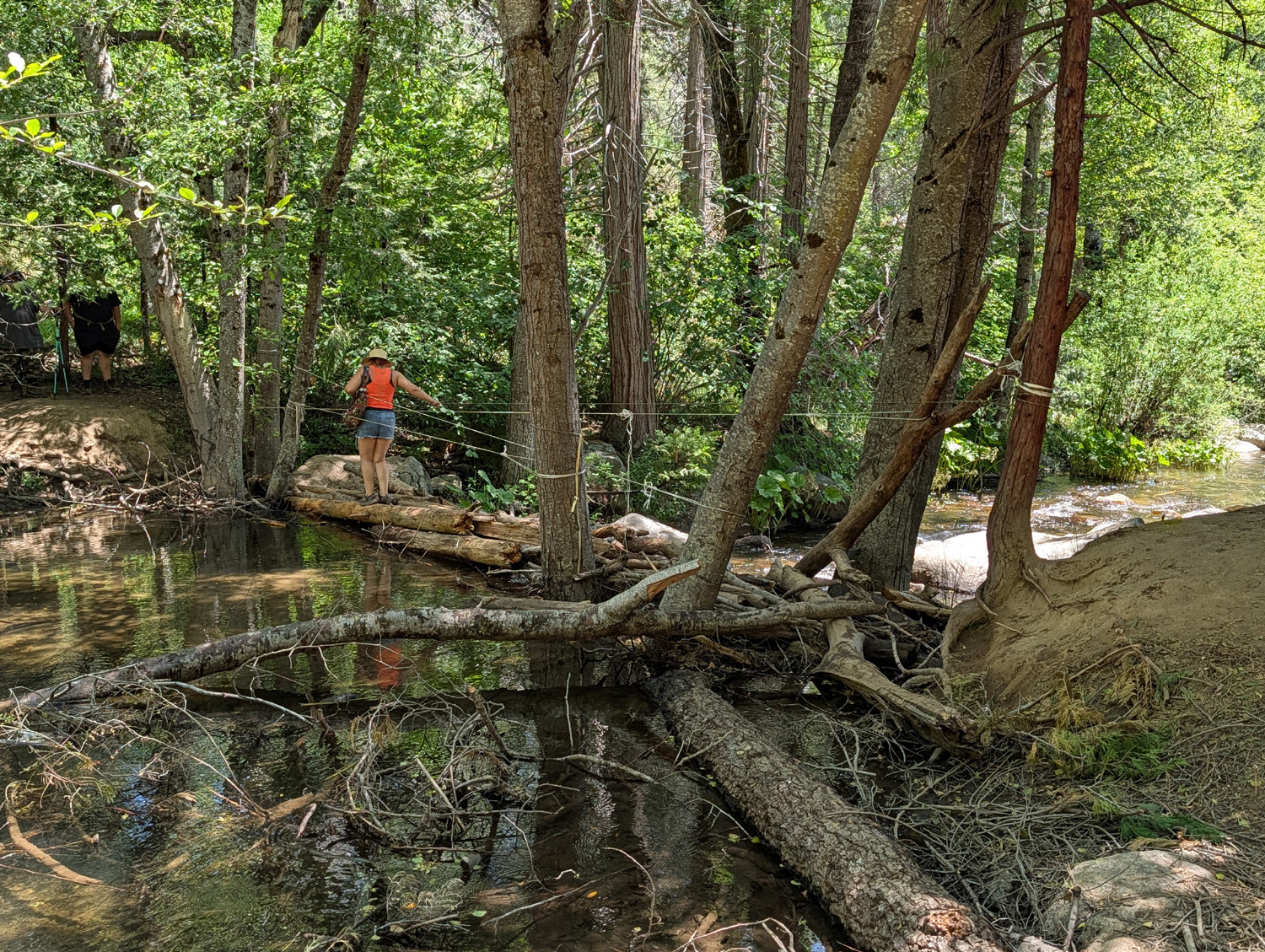
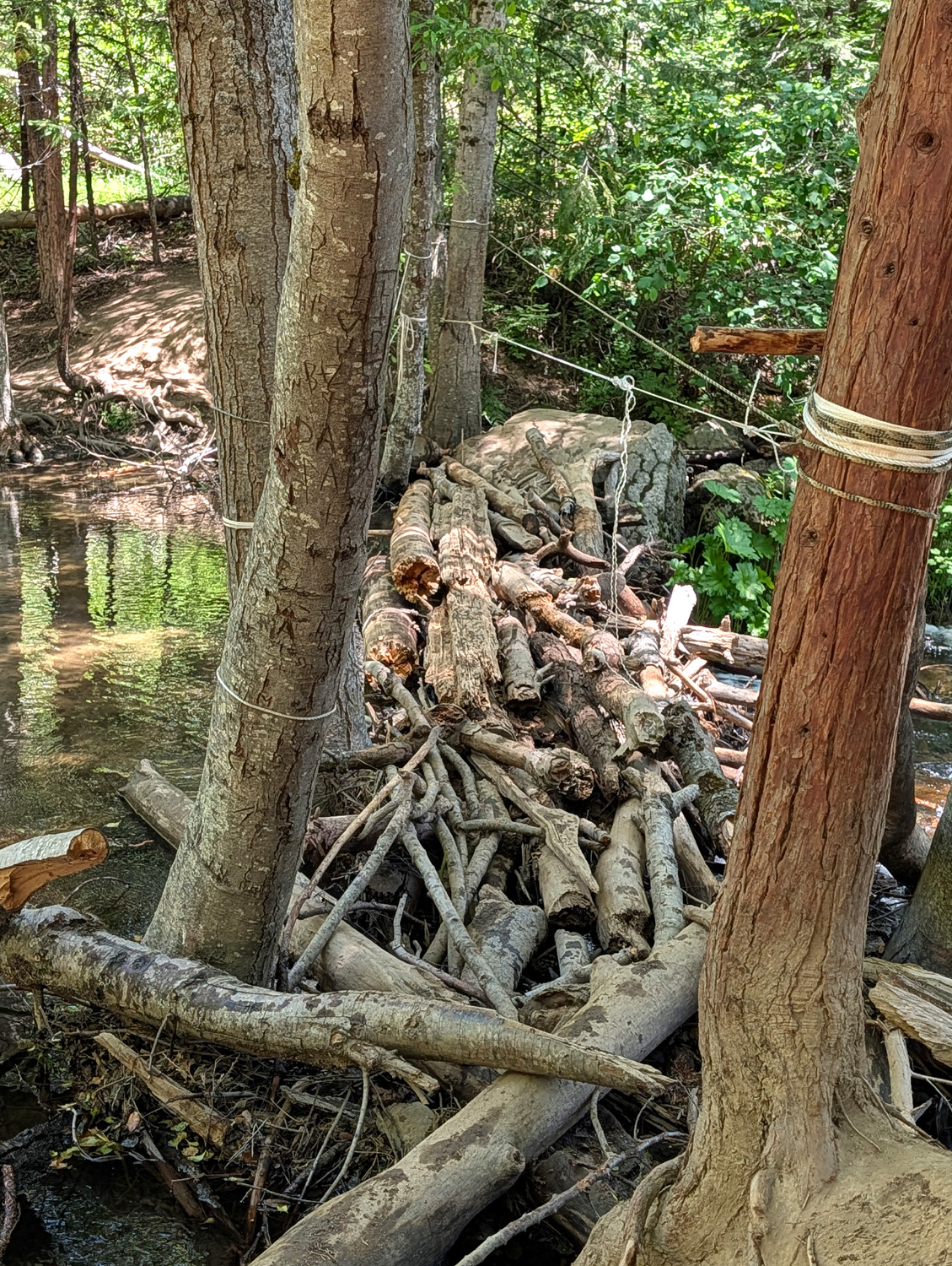
I turned back and went down the trail to the north, which brings you to the creek after a hundred yards or so. Just before the fork I encountered a lady sitting in a lawn chair in the shade, "forest bathing." There was a sign saying that the bridge was closed, but I was very skeptical that I would see a bridge. There was one a few years ago, apparently built by the students who got C's in their engineering courses. It spanned the water, but not the entire channel, and you had to cross the last six feet on a 2 by 12 inch board. Later the bridge had sagged in the middle, and eventually the creek removed it entirely. On this trip what passed for a "bridge" was a pile of logs and sticks that looked like a dam built by giant beavers. There were four or five ropes stretched across the way. I watched a number of people crossing carefully and successfully, but did not even consider stepping on to this wobbly contraption. |
|
|
|
| "Bridge" for the young and hardy | Looks like a dam built by giant beavers |
|
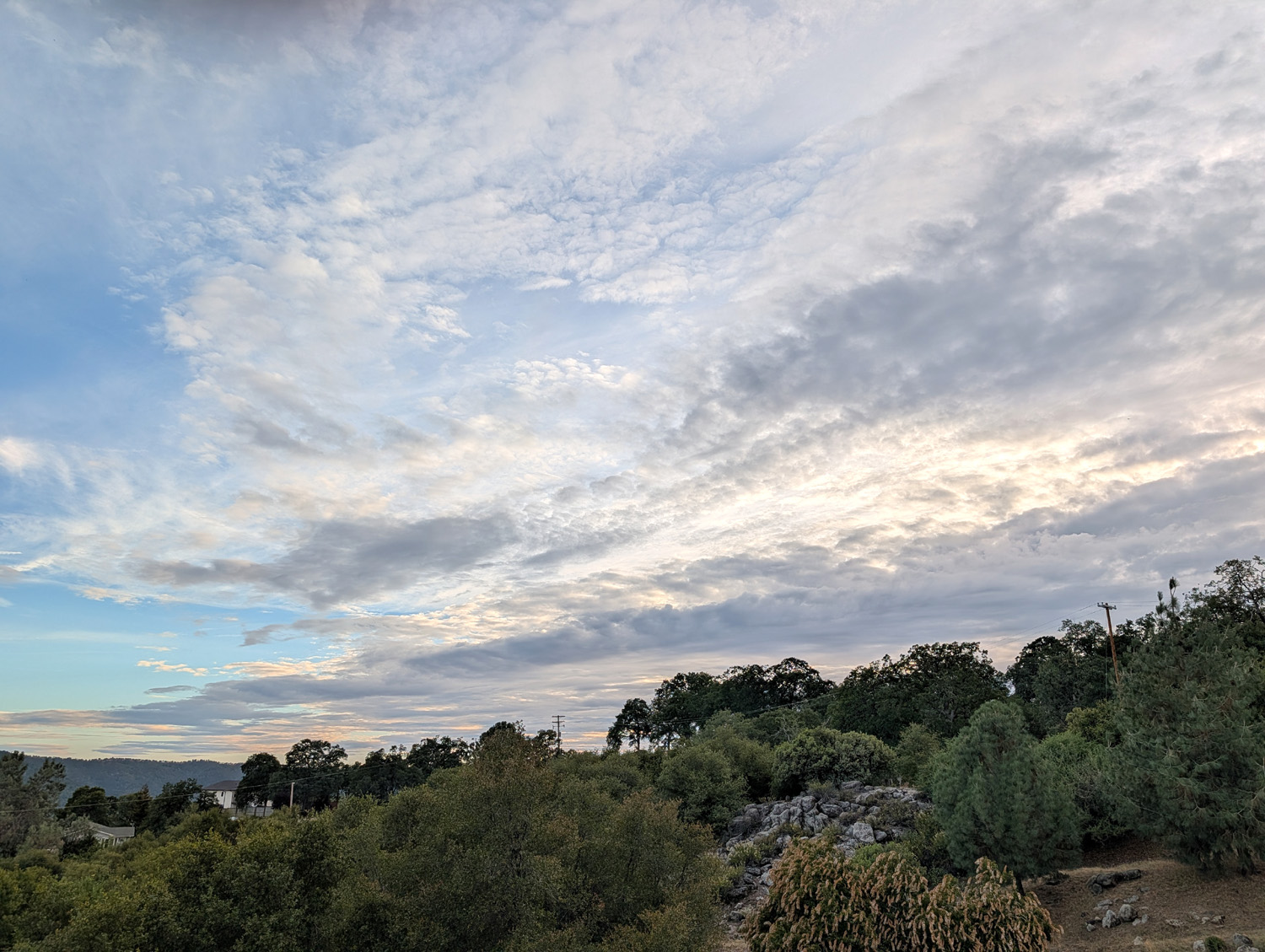
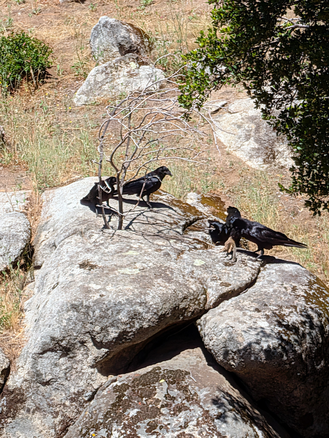
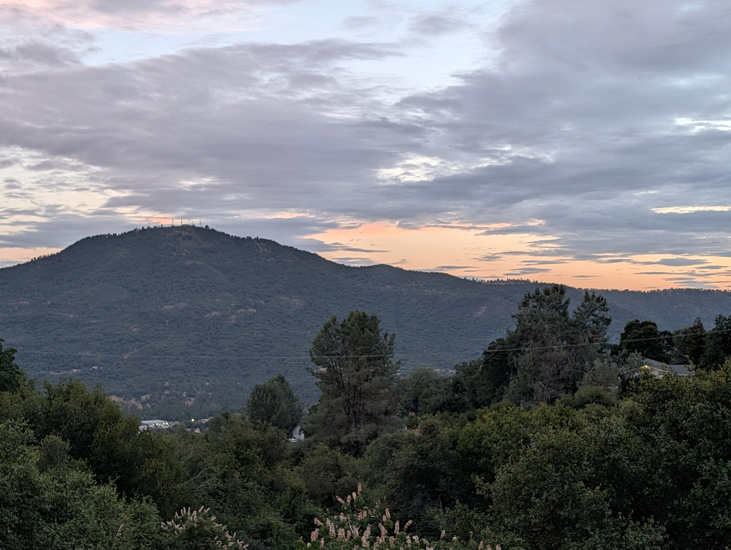
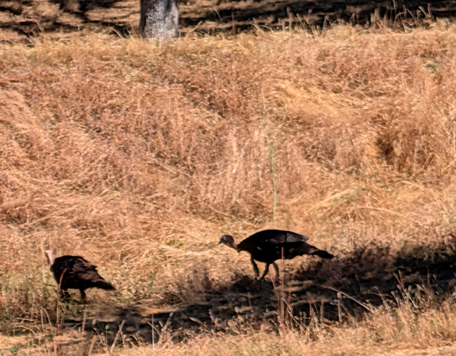
When I got back to the house I stayed there the rest of the day, fixing a grilled cheese sandwich for my supper. On Wednesday I went into town and ate at Smokehouse 41, a very good barbecue place. It's doing a lot of business - there were three or four people ahead of me in line when I arrived, and six or eight behind me by the time I finished ordering. I was there about an hour, and there was a constant line of customers at the counter all that time. No gift card here; I used my own plastic. Thursday, on my way home, I stopped and had breakfast at Denny's, using a gift card the kids had left for me. During my three days in the foothills I saw a number of animals, none of them large. There are a bunch of fake owls around the place, set out to discourage ground squirrels. The latter have figured things out, and I saw more of them than I did owls. I also saw a lizard, wild turkeys, quail right up by the patio, and four crows that flew down and landed on a rock formation in the drainage below the patio. I enjoyed some interesting cloud formations the first day, and one of the special privileges of being away from the big city - thousands of bright stars Tuesday and Wednesday night. |
|
|
|
| Crows discussing the lack of corn fields in the area | Clouds over Deadwood Mountain |
|
I enjoyed my mini-vacation, and hope I don't have to wait two years for the next one. --Dick Estel, June 2026 |
|
|
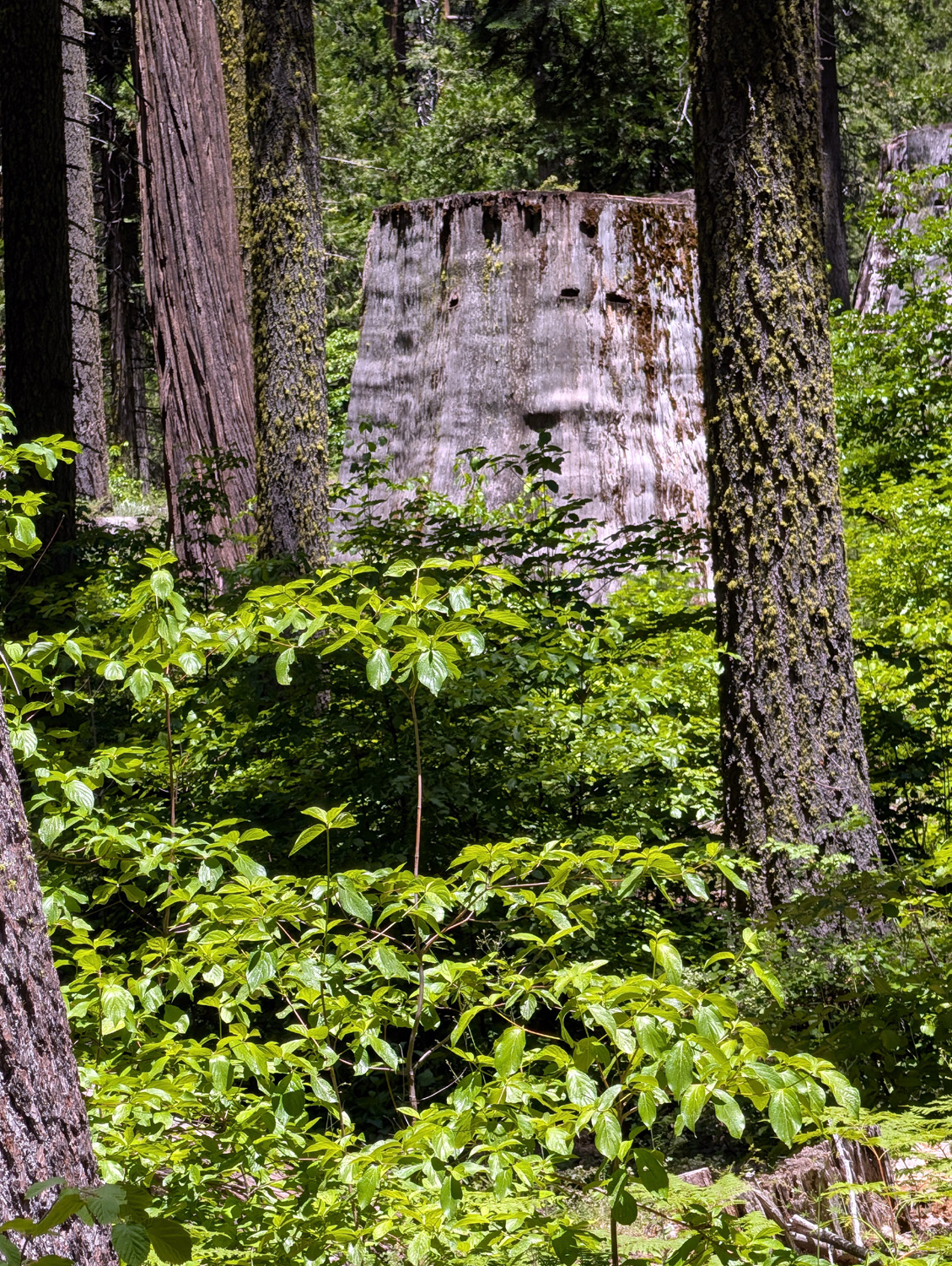
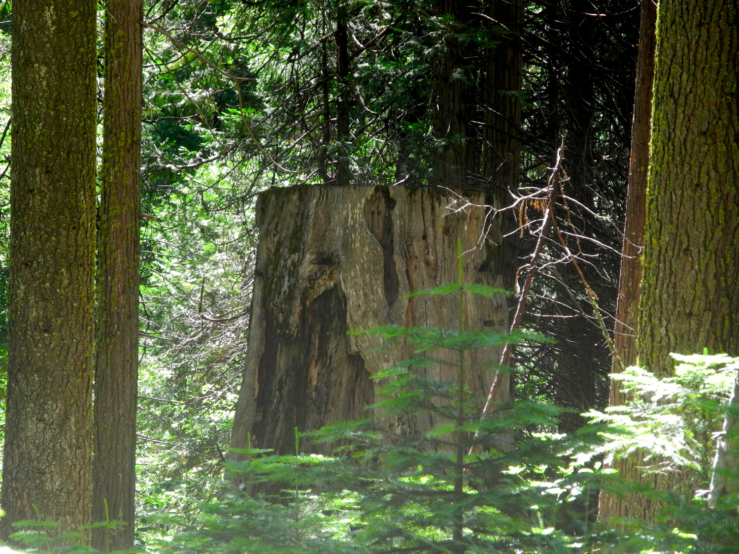
Nelder Grove with Jack (Photos by Jack and Dick) After going to Nelder Grove for the first time in two years on June 18, I wanted to go back again as soon as I could. With the Ramblers, I had hiked a shorter distance than many of our group, but I decided I could handle the mile and a half Chimney Tree Loop Trail, with a stop at the Bull Buck Tree. To keep an eye on me, I brought my 11-year old great grandson Jack, who is a better hiker than I. In fact, he had completed a 16-mile backpacking trip with his parents a few days earlier. His dad dropped him off at my house at 8:30 on June 29, and we made the 55 mile drive up State Highway 41 and several forest roads to the grove, getting on the trail around 10:30. This trail starts a short distance before the campground, and goes about a mile into the woods, paralleling California Creek upstream than back down, but rarely within sight of the waterway. Jack asked to carry my Nikon Coolpix digital camera, and I was glad to hand it to him, knowing that he will take photos I would never think of. I had my Google Pixel cell phone which I use mainly for extreme close-ups, but which also serves as an all-purpose camera. In addition to the usual pines, cedars and firs along the trail, there are several giant sequoias, and many young ones 50 to 100 feet tall and probably about 120 years old. Of course there are the usual flowers, small plants and shrubs including lots of dogwood, and big stumps from 19th Century logging days.. |
|
|
|
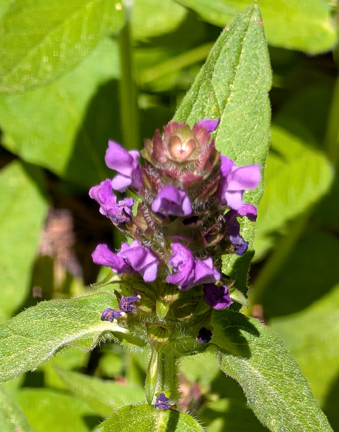
| Dogwoods, evergreens and a big stump | A very nice but unknown flower |
|
|
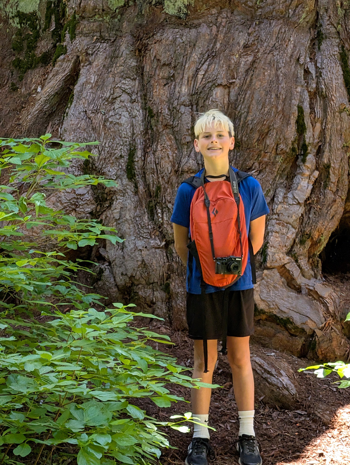
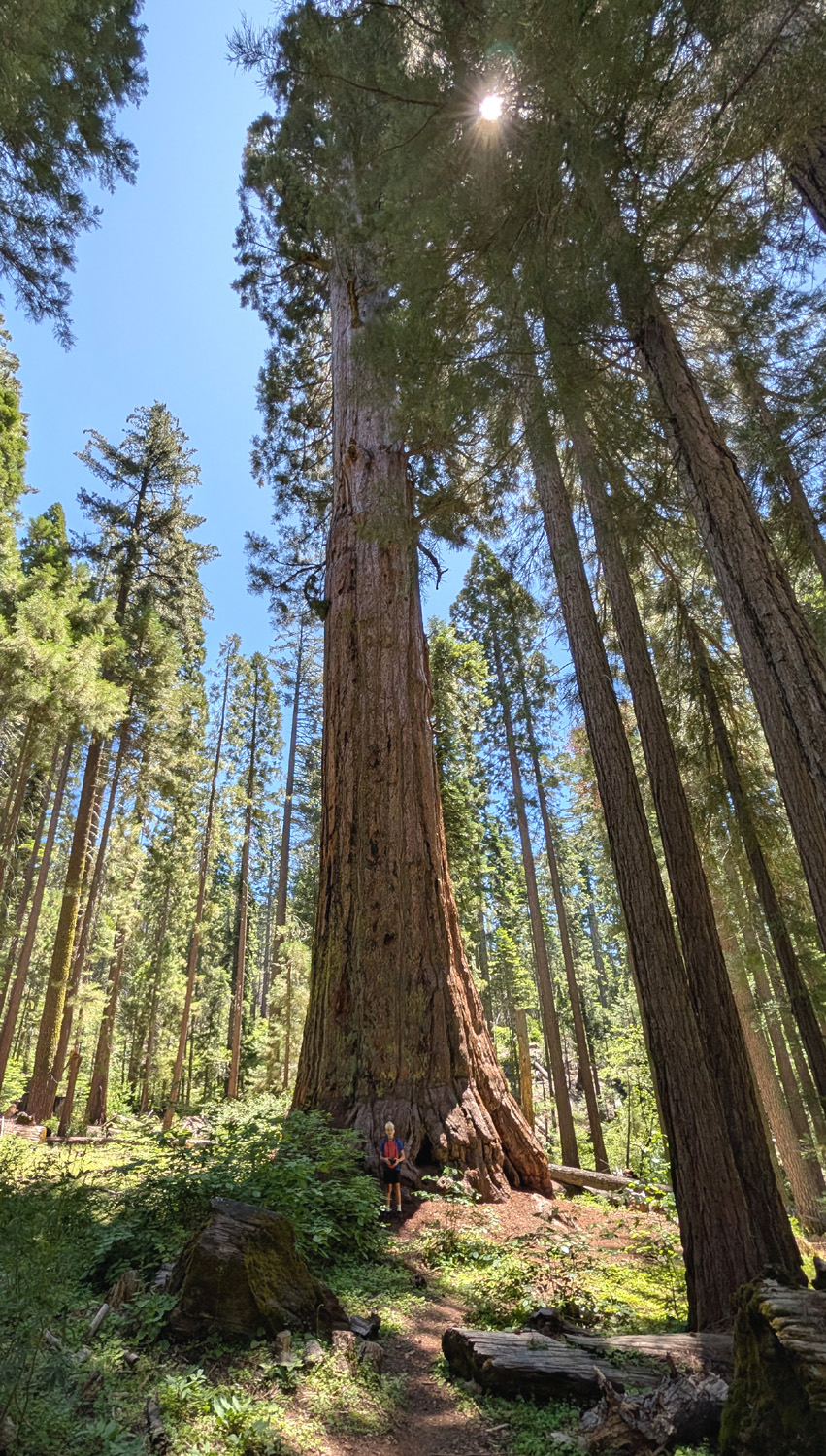
| Jack by the California Tree | The California Tree |
|
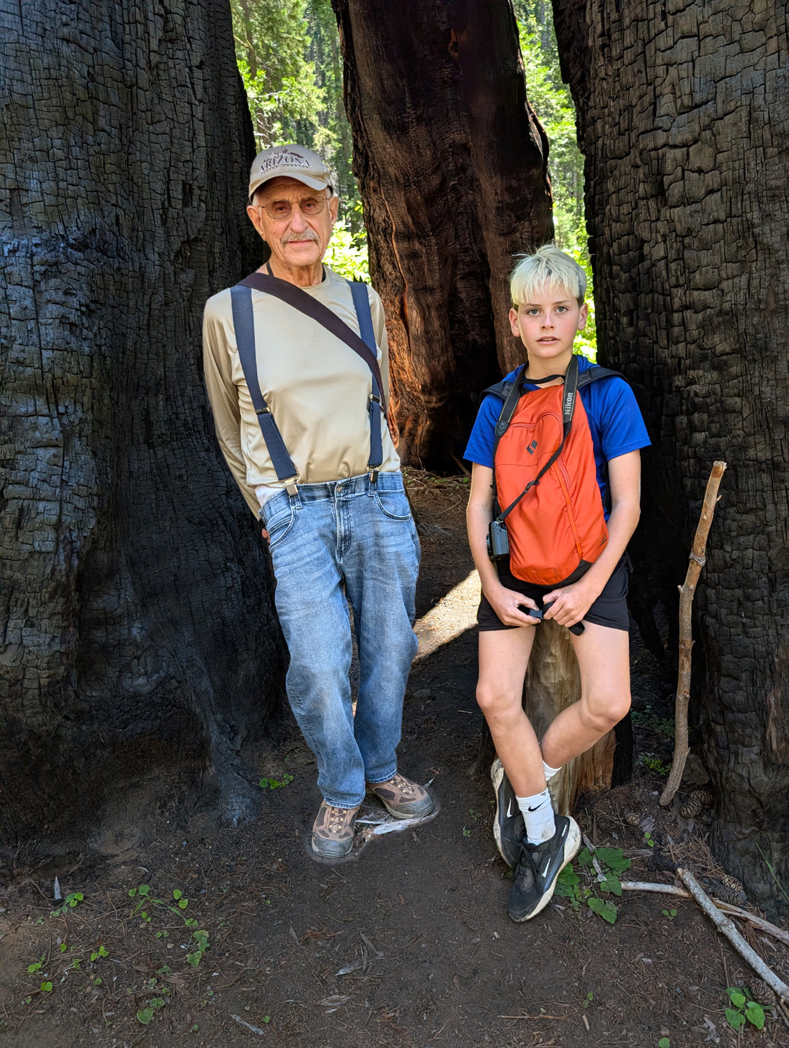
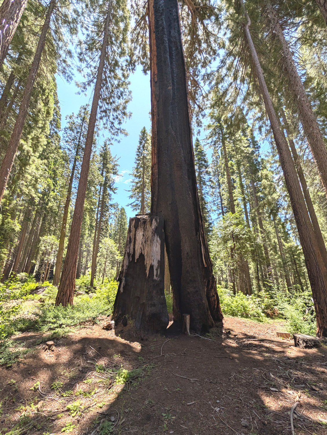
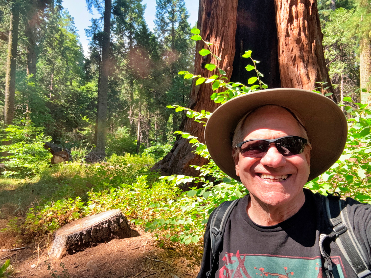
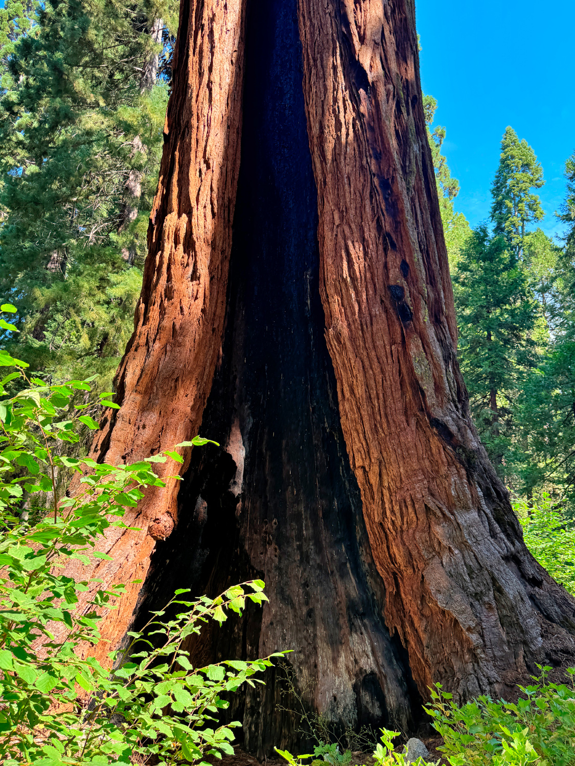
One of the key landmarks along the trail is the Chimney Tree, a giant sequoia that is living but has much of the middle burned out, so you can stand inside and look up at blue sky. Posing inside the tree is a mandatory part of hiking this trail. |
|
|
|
| Dick and Jack in the Chimney Tree | Bottom section of the Chimney Tree |
|
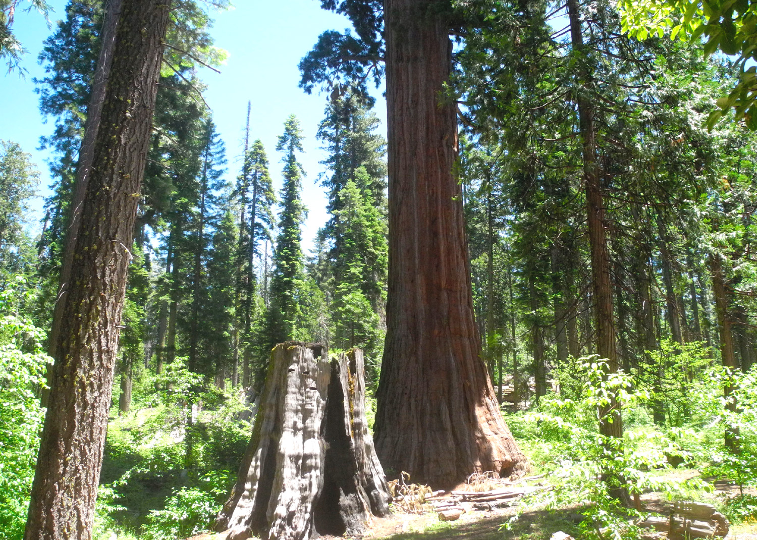
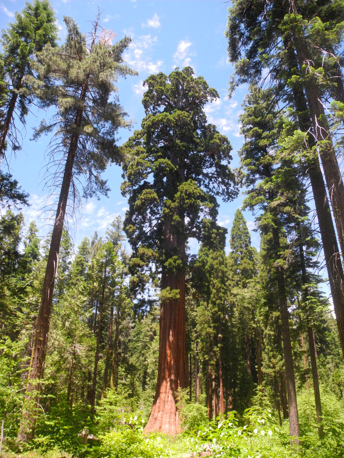
After going more or less north for a while with gentle uphill, the trail curves around and crosses California Creek, then leads gently down to the quarter mile trail from the campground to the Bull Buck Tree. From here it's only about 100 yards to this magnificent sequoia. I consider it close to perfect - it does not have a dead top like many of its fellows; the bottom flares out evenly all the way around, it has no burn scars, and there is a nice length of the red trunk. Years ago brush and trees were removed in a long narrow pathway east of the tree, allowing a view from bottom to top. |
|
|
|
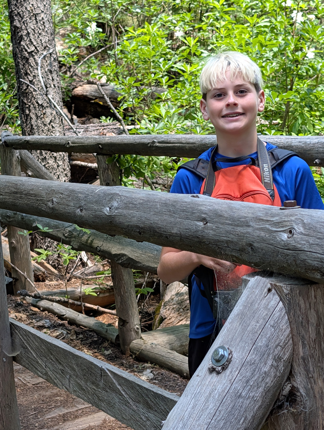
| Jack on the bridge over California Creek | Jack approaches the last big stump along the trail |
|
Just to the west of the Bull Buck are two tall stumps, from trees that appear to have been noticeably smaller than their giant neighbor. Every time I visit this spot, I try to imagine what it was like to see these three ancient sequoias still standing in a row. There are at least two other big stumps visible from this area, but no other giants still standing. As we see throughout the grove, there are a number of youngsters. Come back in a thousand years and you will be in an amazing sequoia grove. |
|
|
|
|
The Bull Buck once had two neighbors to its left, both of which are now just stumps |
The almost perfect Bull Buck Tree |
|
|
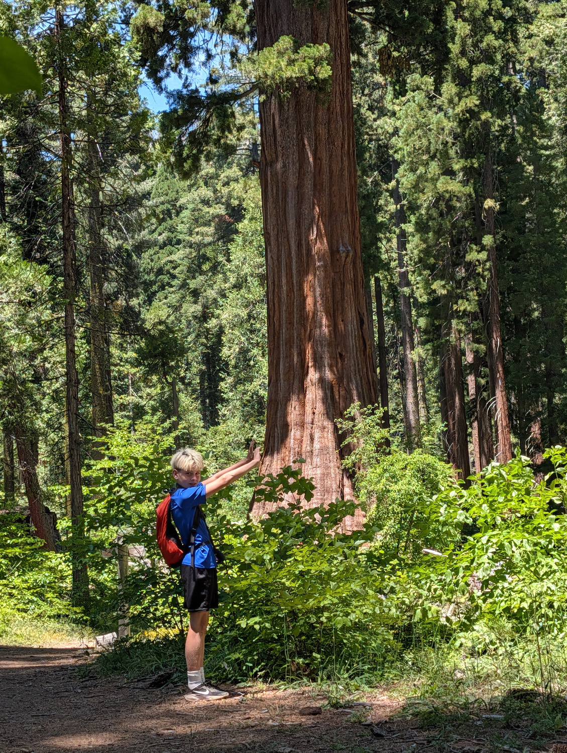
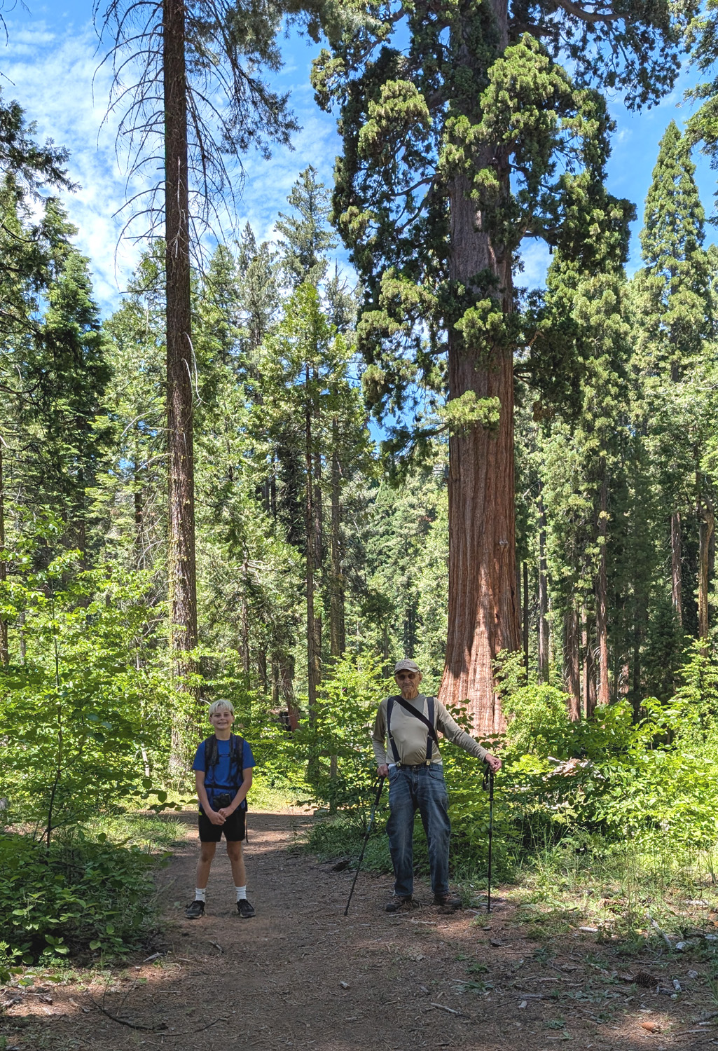
| It easily resists Jack's attempt to give it a "push" | Jack and Dick and the Bull Buck |
|
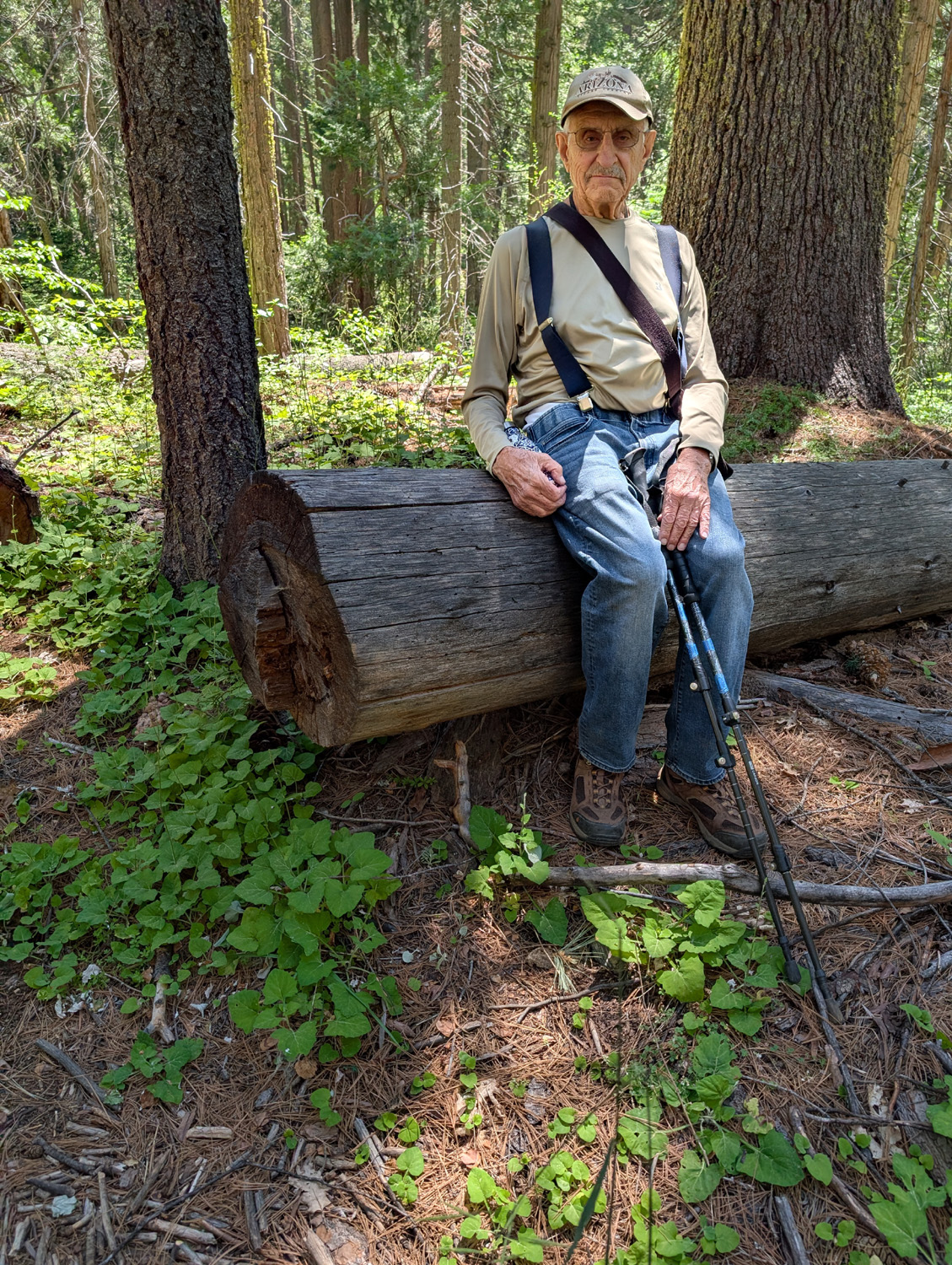
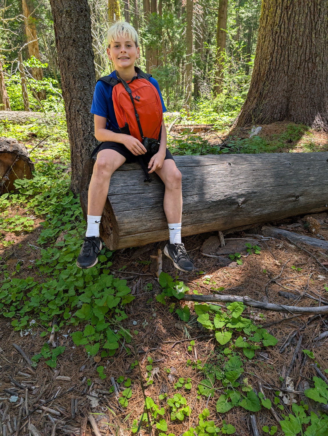
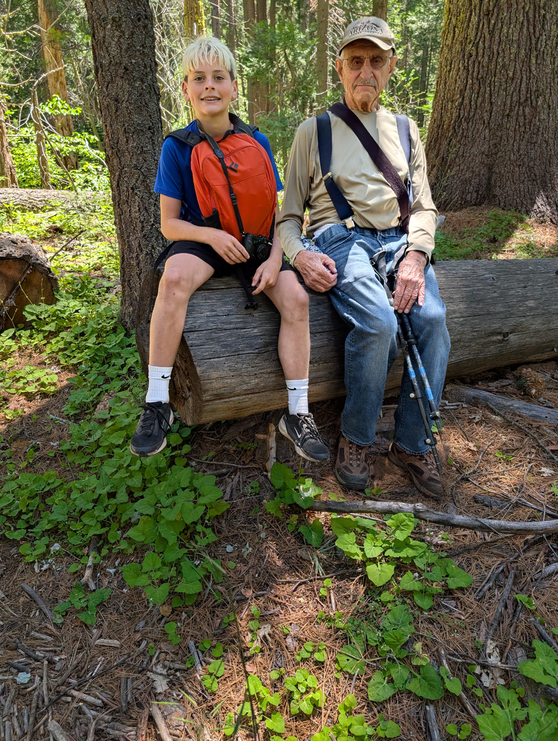
At one point when I was taking a photo of Jack with my phone, I noticed among the list of options below the screen the words "ADD ME." It turned out I could take a photo of someone, leaving room at one side. Then I would occupy that spot while the other person took my picture, and the camera would combine them. It was very picky about framing and aiming, but it worked out well several times, and Jack got a big kick out of it (me too). |
|
|
|
| The "ADD ME" feature of my cell phone - take a picture of person 1 | Give camera to person 1 who photographs person 2 |
|

|
| The camera combines the two photos into one | Flowers appeared all along the trail |
|
We finished our hike with a short stroll from the Bull Buck back to my car. Although we had some snacks, we were both hungry from our outing, and discussed a lunch location as we drove back to Oakhurst. We agreed on the Pizza Factory, where Jack had pizza and mozzarella sticks, and I had an "Awesome Sub," all very good. We made it safely back to Clovis, without too much traffic on State 41, and delivered Jack to his home. We're both ready for another hike, and hopefully he can go on the Ramblers hike later this month. Obligatory disclaimer: The link Chimney Tree & Other Nelder Trails contains much outdated information. The Shadow of the Giants Trail that it mentions is closed, possibly for the next few centuries. --Dick Estel, July 2026 |
|
|
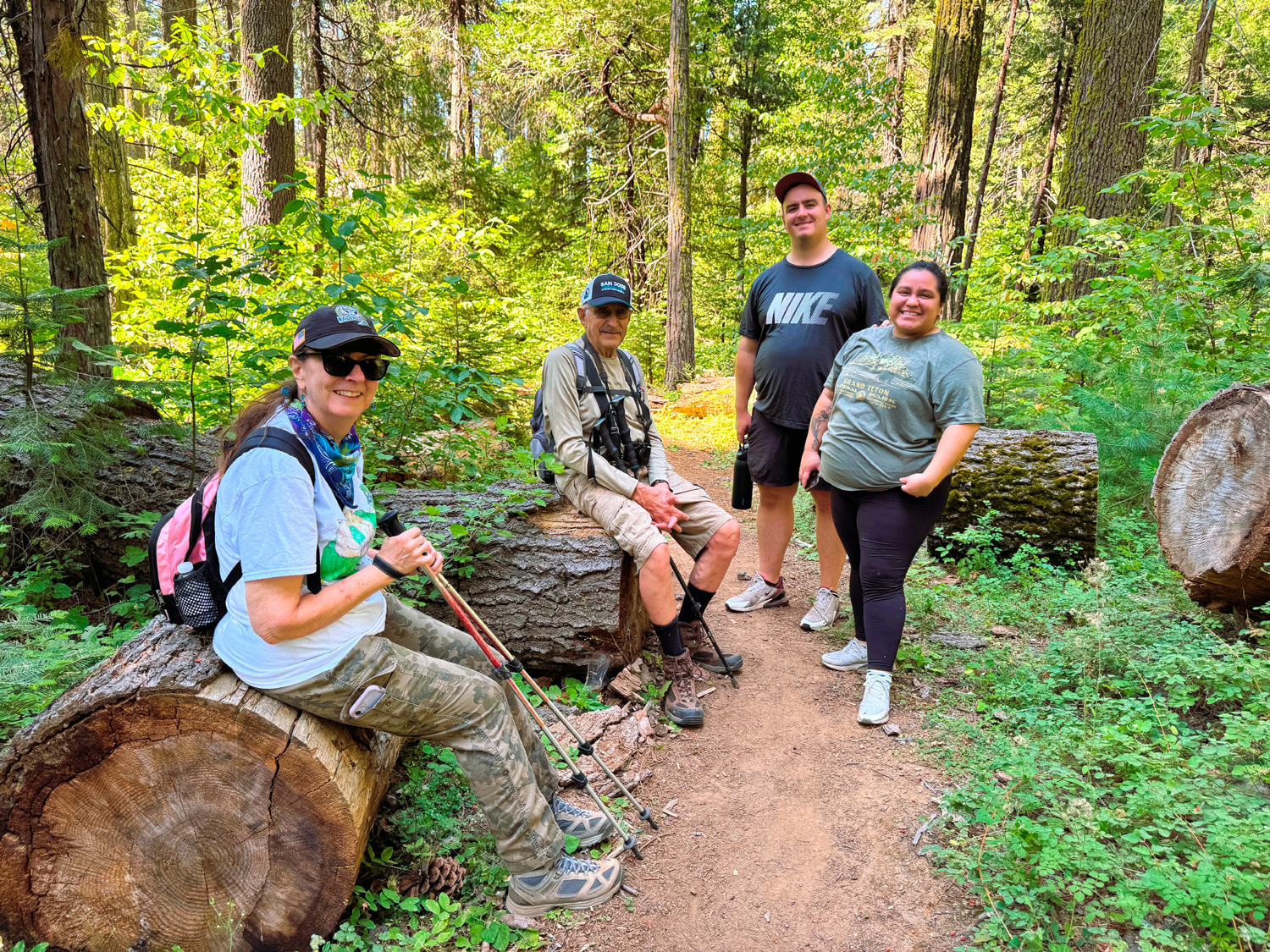
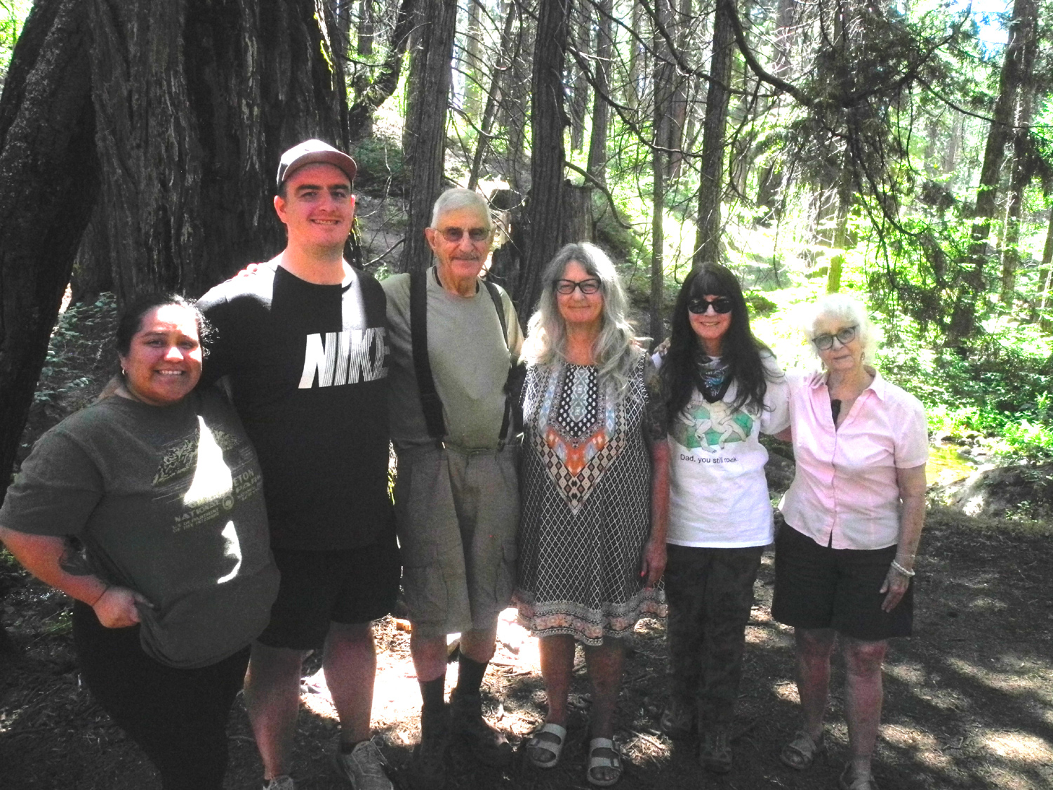
Birthday at Nelder Grove (Photos by Wes and Dick) When the count moves into the 70's and 80's, most people don't want folks to make a big fuss about their birthday. I certainly agree with this approach, although I understand and accept that you can't control what others do. On the other hand, the celebration my family provided for my 87th birthday on August 8 was delightful in every way. We went to Nelder Grove, one of my favorite places on earth, where we hiked a little and ate a lot. It was a family gathering, including our "adopted" member, Wes Thiessen. He and I were making our third trip there this year, and maybe my 50th overall. Daughters Teri and Jennifer and their Mom, Jackie, were with me the first time I went there in 1969. Grandson Mikie went when he was two or three. None of these had been there for a few years. Mikie's wife Hayley was making her first-ever visit, and it's always special to see a favorite place through the eyes of someone who's never seen it before. |
|
|
|
| Jennifer, Dick, Mikie and Hayley on the Bull Buck Trail | Hayley, Mikie, Dick, Teri, Jennifer, Jackie |
|
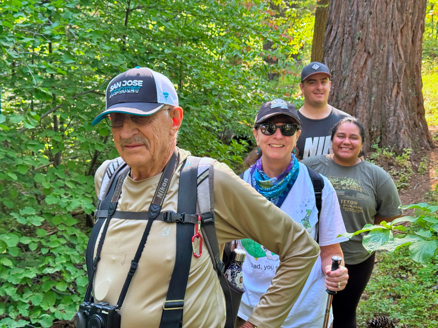
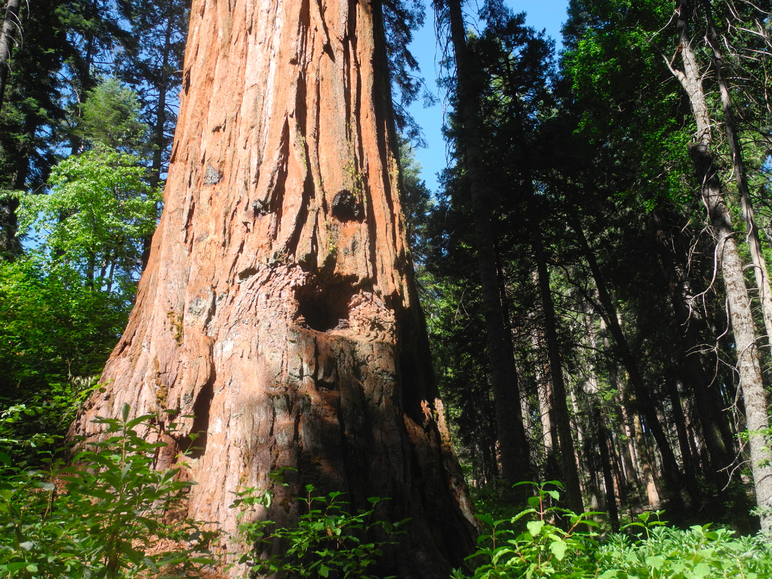
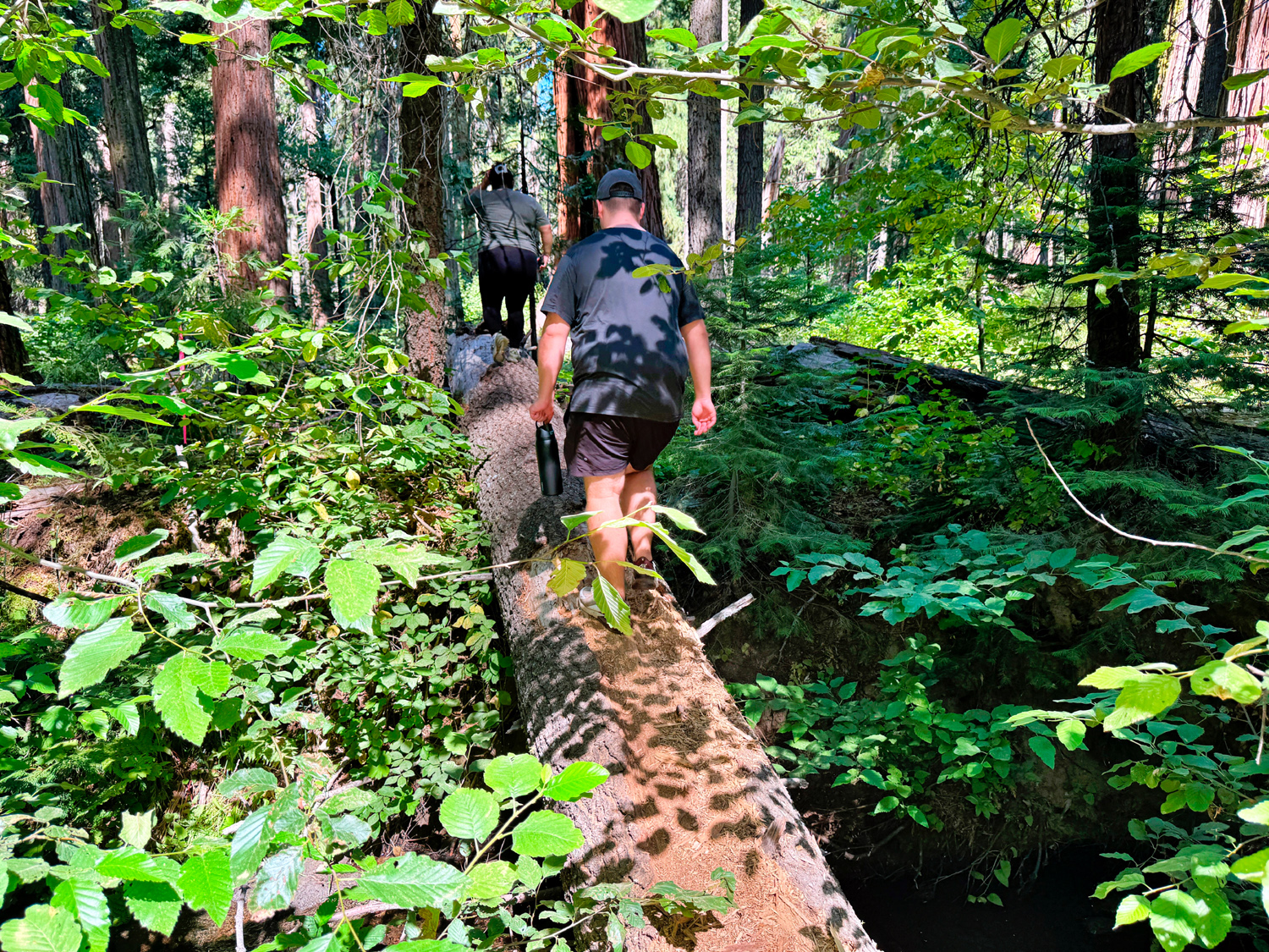
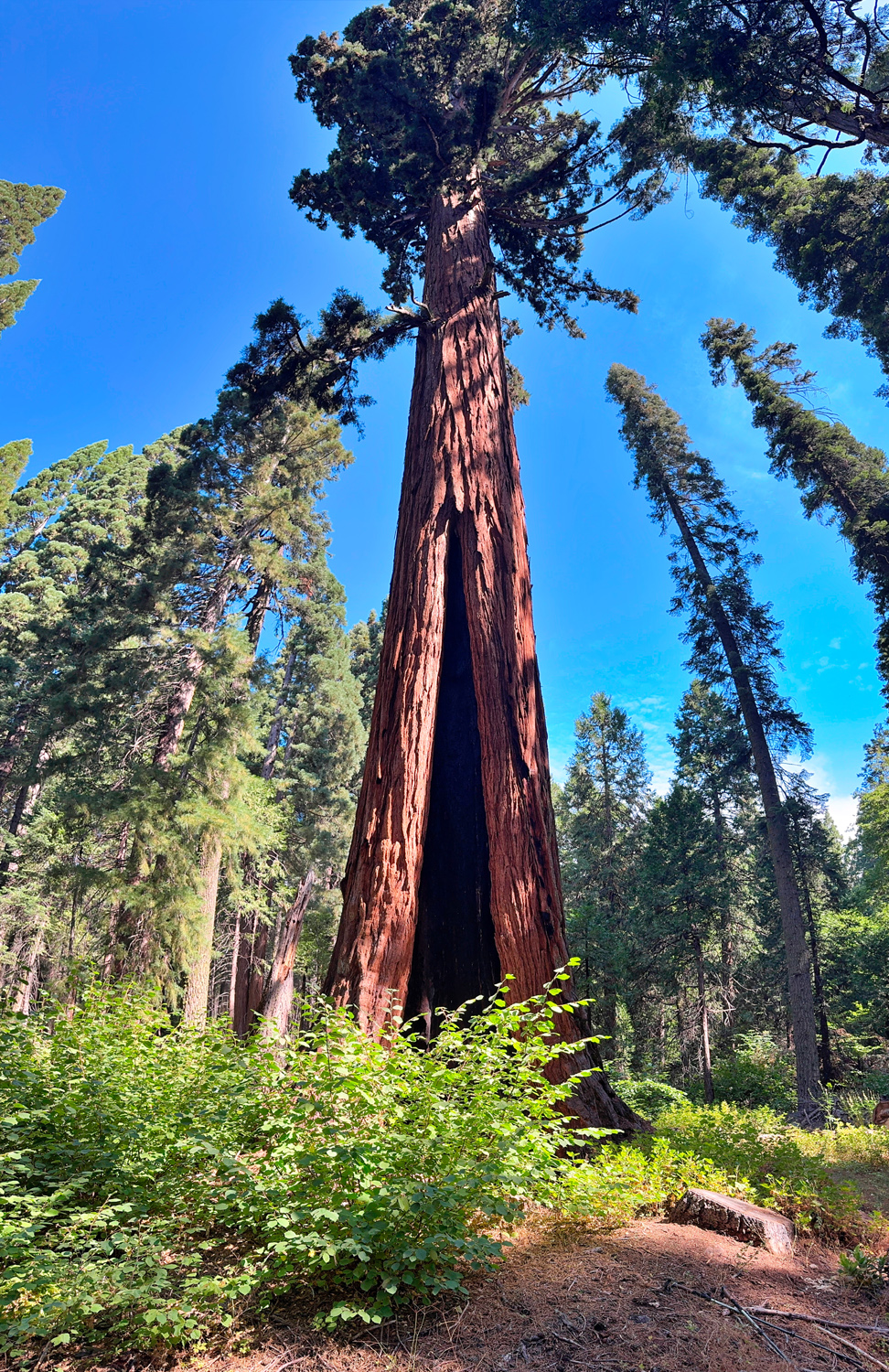
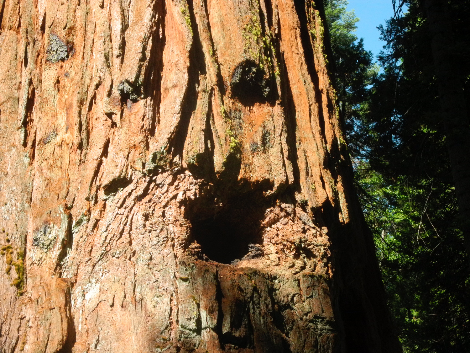
I need to devote a few words to some other people who love this special place. John and Margaret Hawksworth were campground hosts for over 20 years, and did a lot of work in the grove. Their granddaughter Brenda Negley spent many summers with them, and eventually served as host herself. She wrote a book about the place, and in it she describes several big sequoias that are close to the campground that I had never seen. I brought the book along, as well as some notes in an email from Brenda, and asked the others to join me in visiting Mr. Bill, her name for a tree that has a "face" resembling the hapless puppet character from early Saturday Night Live shows. Teri and Jackie stayed back at camp, "forest bathing," while the rest of us started up the quarter mile trail to the finest tree in the grove, the Bull Buck. Less than half way we turned off on the "Secret Trail," which was not really secret and was easy to find and follow to Mr. Bill. Although it's right by the creek and probably the closest tree to the campground, it had escaped my notice for over 50 years. We enjoyed this side trip and took photos, then continued on to a view of the Old Forester Tree. This tree I was familiar with, although the view from the trail is somewhat obscured by the surrounding forest. There's a slightly better view just a short walk down the Chimney Tree Trail, and Wes, Mikie and Hayley decided to go off-trail and walk to the base of it. Since their route included crossing the creek on a log, Jennifer and I watched from the trail. They were able to get excellent top-to-bottom photos, and I saluted the service of Walter Puhn, a long-time USFS employee and Superintendent of the Sierra National Forest the last 15 or 20 years of his career. When his admirers wanted to name a tree for him, he modestly proposed the more generic name to honor all who served in that position. At 299 feet, it's the tallest tree in Nelder Grove. |
|
|
|
| On the trail to Mr. Bill | Mr. Bill |
|
|
| Mikie shows off his balance skills | The Old Forester, with a large burn scar |
|
|
| Wes and the Old Forester | Tree close-up |
|
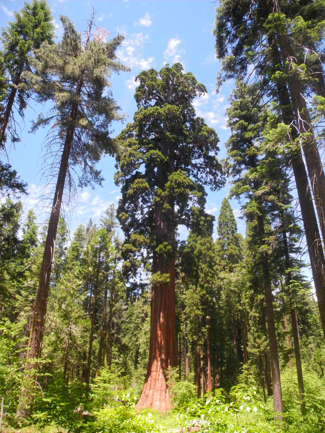
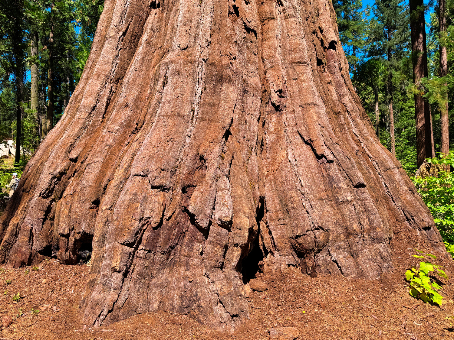
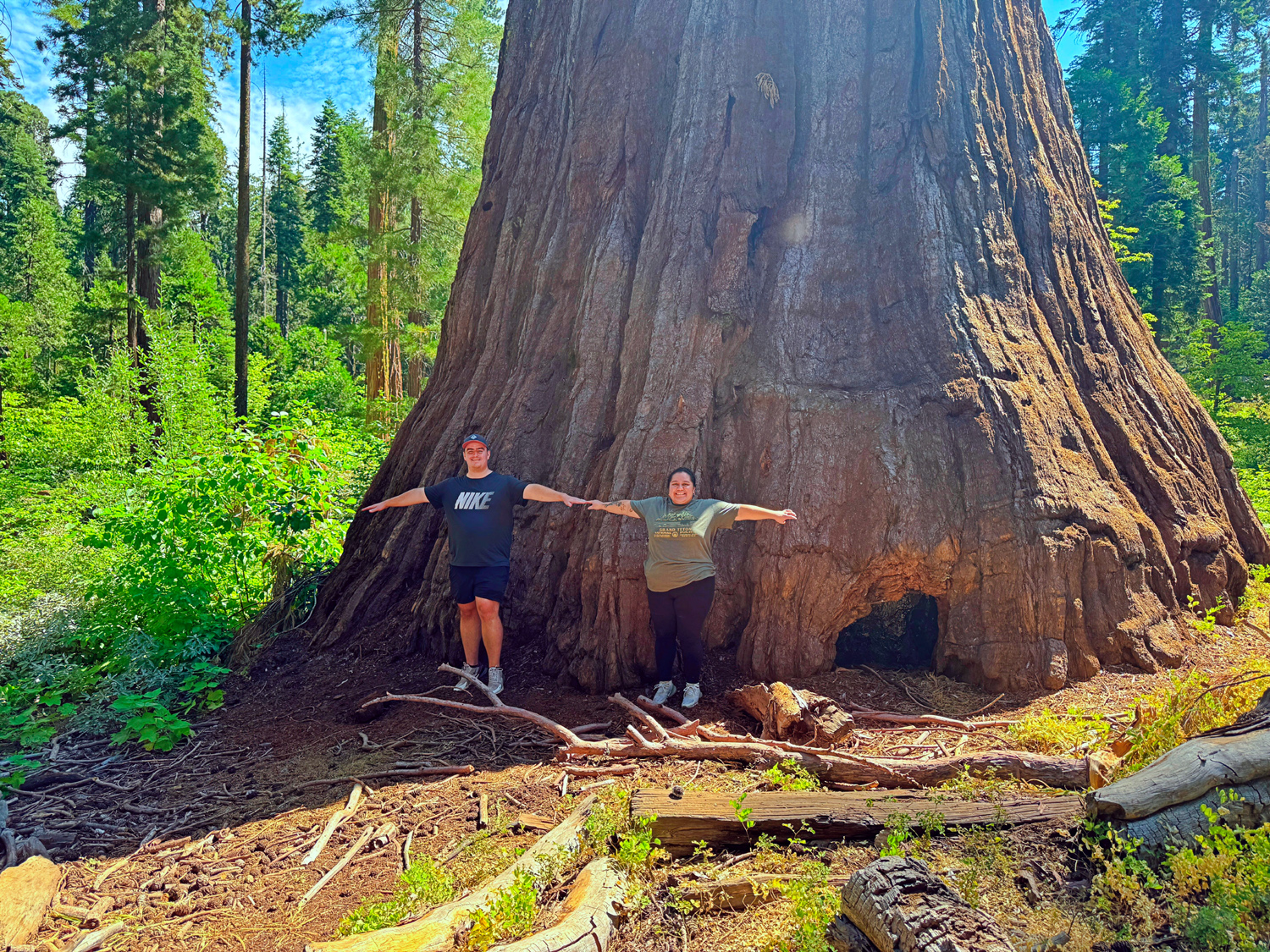
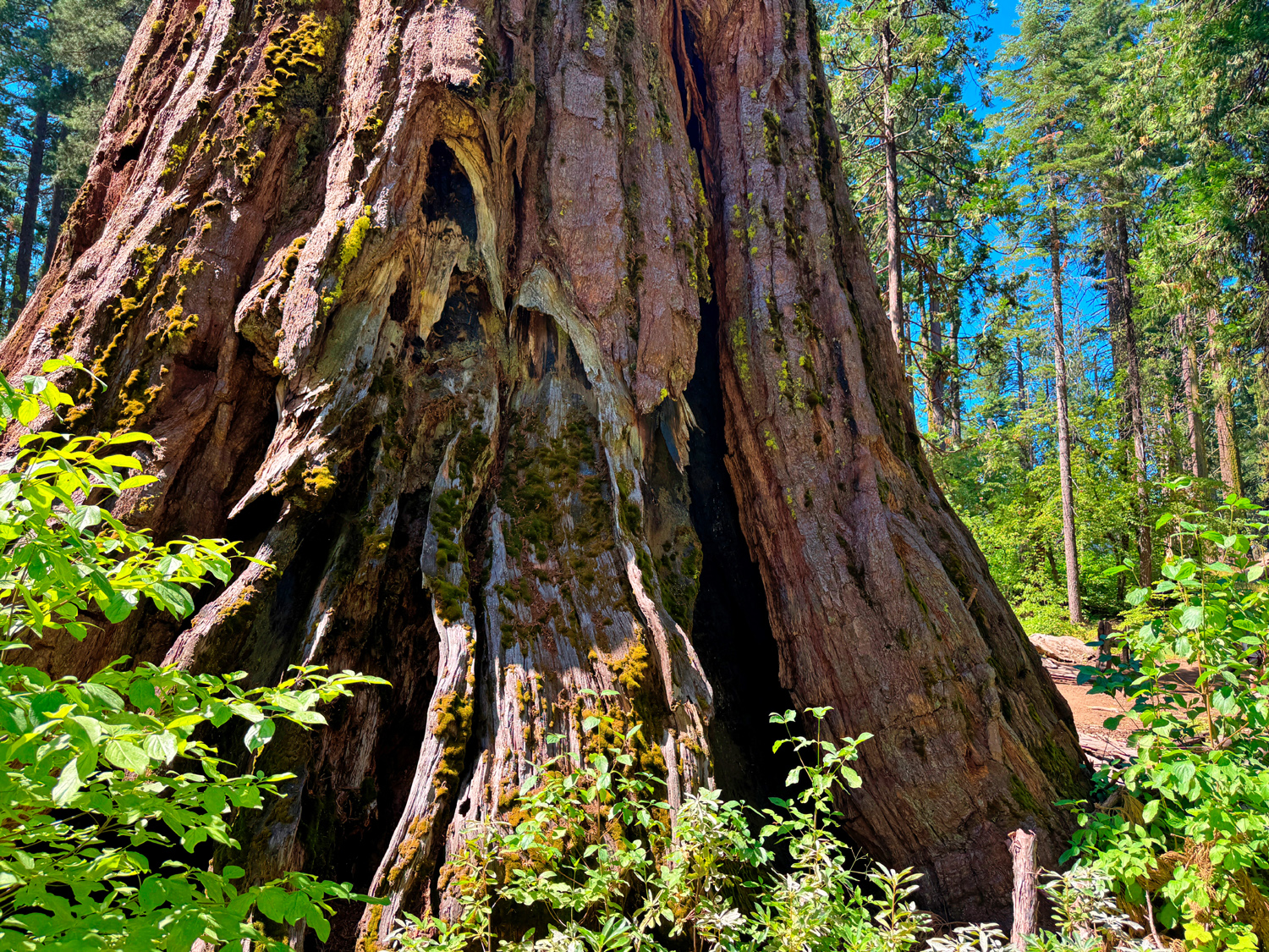
The adventurers returned from their cross-creek exploration and we walked the final 100 yards or so the Bull Buck Tree. To me, this is the ideal giant sequoia tree, and most who see it are very impressed and return to it each time they visit the grove. Some fellow hikers once asked me what was so special about the Bull Buck. One impressive aspect is the 100 foot circumference at the base. Most large sequoias are flared out at the bottom, but few as much as this one. It is straight and smooth a long way up, with the first branches not appearing till half way up its 246 foot height. The top is full without any significant broken branches (although that aspect often just adds character). There are no burn scars. And of course, there is a great top-to-bottom view, thanks to some brush clearing done in the last century by Hawksworth. Actually my claim of "no burn scars" was based in incomplete information, since I had never made my way through the young trees and bushes that discourage access to the back side of the tree. On this visit Wes volunteered to brave all obstacles and check out the "hidden" side of the tree. He returned and reported that although there is a small burn scar, it's not enough to make me change my opinion of the tree as the best-looking one in the whole Sierra. |
|
|
|
| King of the Grove - the Bull Buck | Bull Buck base |
|
|
| It will take more than two people to surround this tree | The "hidden" back side of the Bull Buck |
|
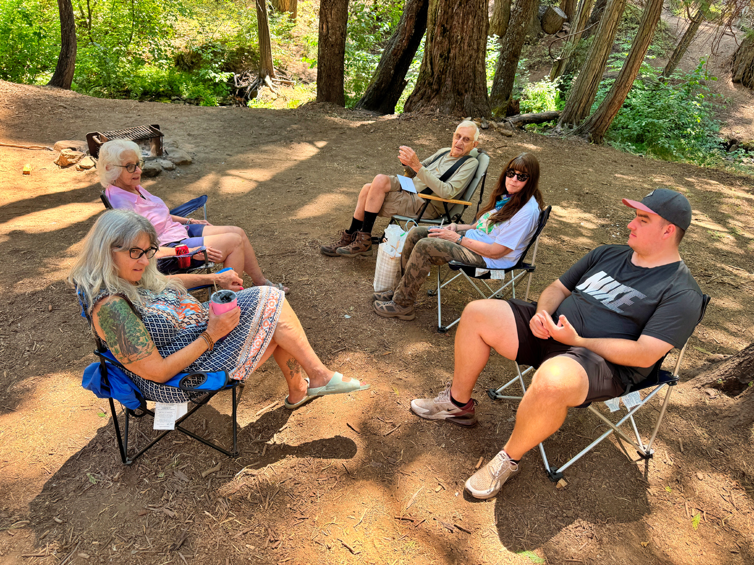
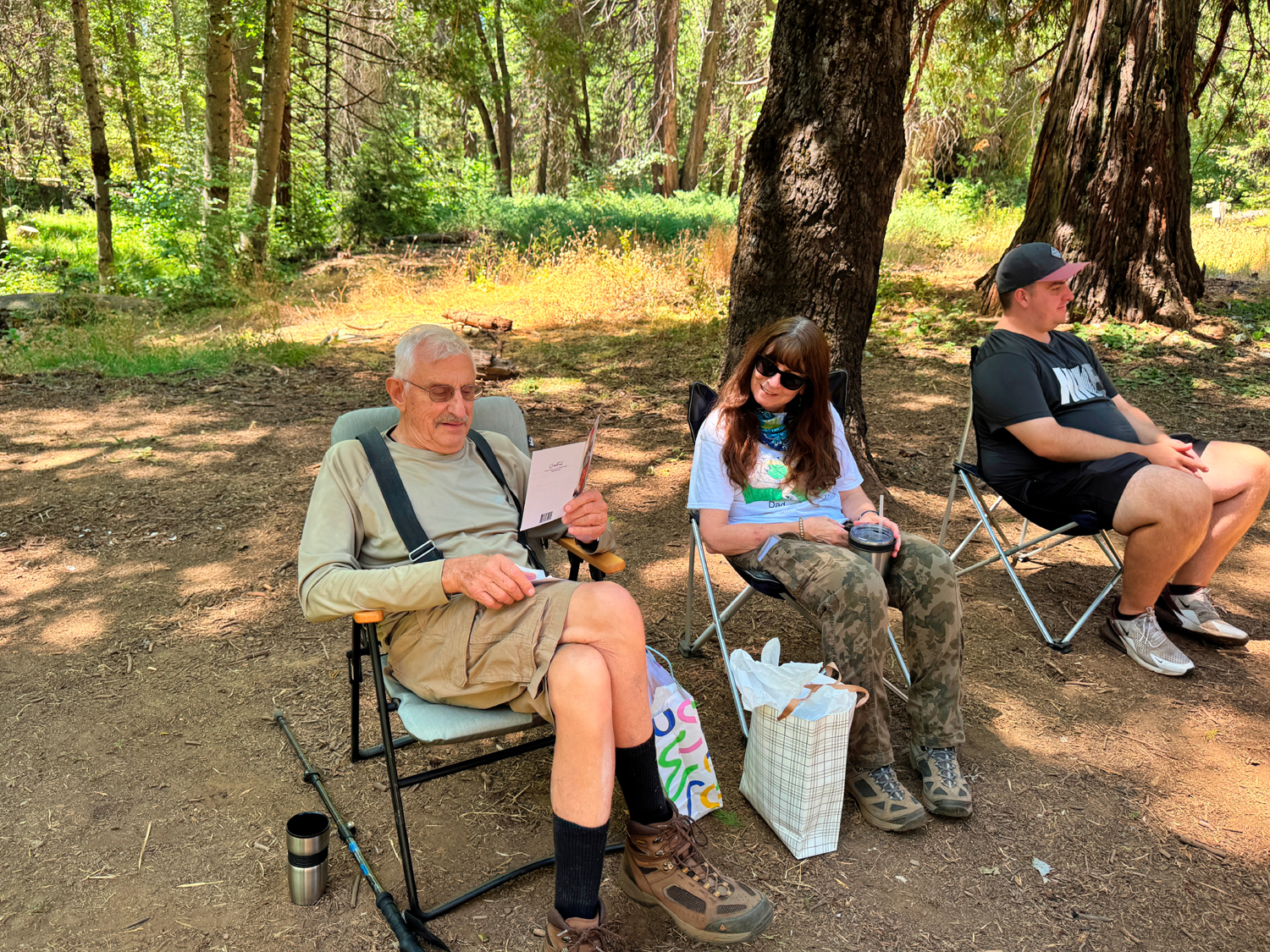
After enjoying the Bull Buck and its surroundings, it was time to return to the campground and the yummy lunch that awaited us. Teri and Jennifer had picked up sandwiches at Deli Delicious in Oakhurst, Jackie made potato salad (the recipe by which all others are judged), and Mikie and Hayley had bought cookies from Crave, a business that's become the top cookie place in the Fresno-Clovis area. To say their cookies are huge is like calling the Bull Buck a pretty big tree. Most people eat just a half of a cookie, even when they don't follow a big lunch. Wes enjoys my birthdays almost as much as I do, and has been trying to come up with appropriate songs for my age, beginning with 76 Trombones and on through 77 Sunset Strip. There are very few songs with numbers beyond that, so he wrote and recited a poem in honor of my 87th. There were also nice cards and gifts from family members. |
|
|
|
| Lunch by the creek | Time for birthday gifts |
|
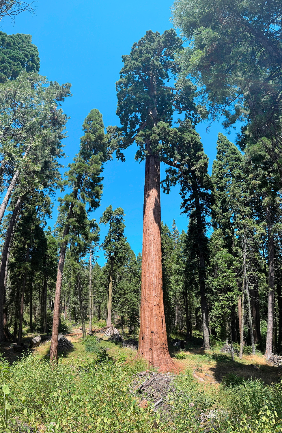
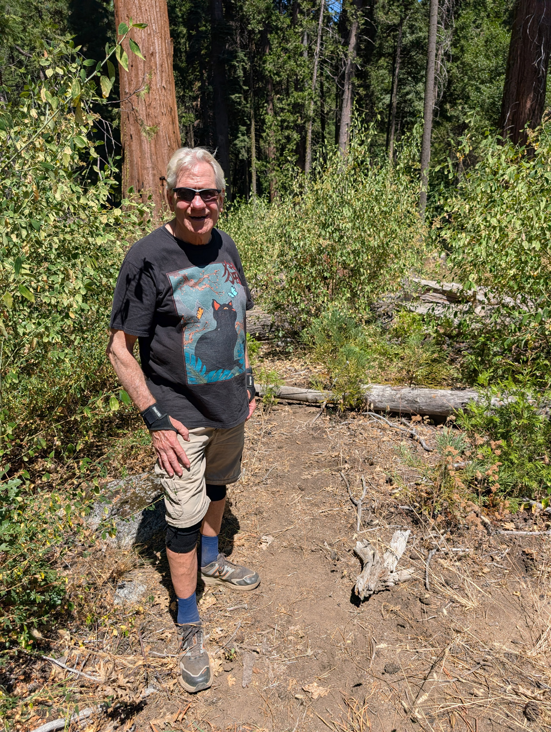
Much too soon it was time to head for home. I had one more brief hike planned, and Wes joined me for that one while the others started back down the mountain. As you first enter the campground area, there is a nice interpretive area that was mostly developed by the Hawksworths. There is a replica section of the flume that carried lumber down to the valley, a section of the "bed" that was laid out on the ground to cushion the fall of the giant trees, and two cabins moved from a nearby meadow. The highlight of the exhibit is a topographical map of the grove, about six by six feet square, that has a tiny replica of every large sequoia in the grove. This location also marks the start of the trail to the Big Ed Tree, an easy, mostly level 100 yard walk. Ed Zerlang was a logging mill foreman, and always enjoyed seeing this tree from the road below. His fellow workers began calling it "Ed's Tree," and now it carries his name. In the past, the trail led to the base of the tree, where you could strain your neck trying to lean back and see the top of it. Now the trail goes along the slope above the tree, leading to a spot where there is a good top-to-bottom view. The top is also visible from the campground, and this was the first big sequoia I saw when I made my first visit to the grove in 1969. |
|
|
|
| Big Ed | Wes and the Big Ed |
|
After enjoying this one last stop, we climbed into Wes's Subaru for the 65 mile drive back home. My thanks to Wes for driving, and to everyone for making this a very special birthday. Not everyone gets 87 of them, and the company I enjoyed on this date was the best gift of all. --Dick Estel, August 2026 |
|

|
Photos (Click to enlarge; pictures open in new window) |
||
|
Edison Point Cat Sitting & Lewis Creek Nelder Grove Nelder Birthday |
||
|
Edison Point |
||
 |
 |
 |
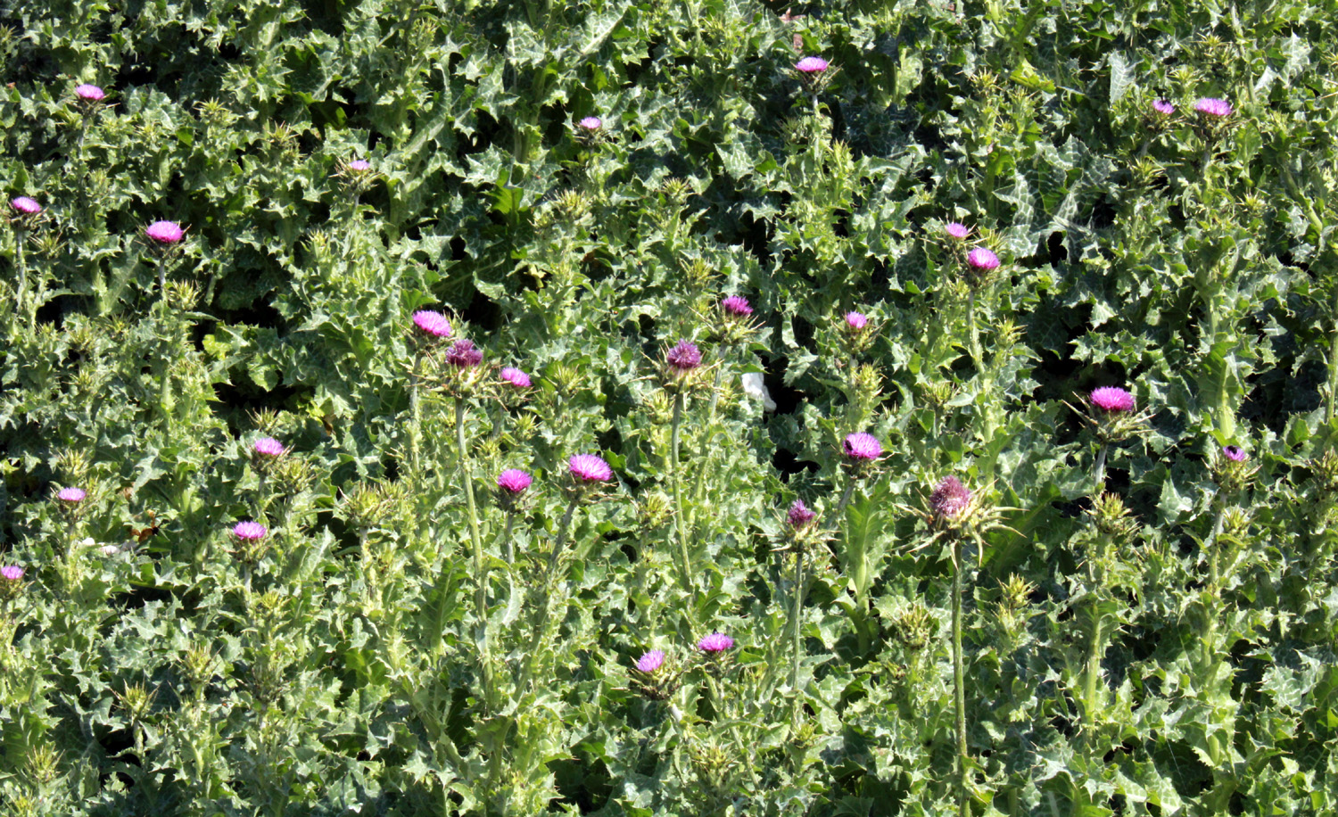
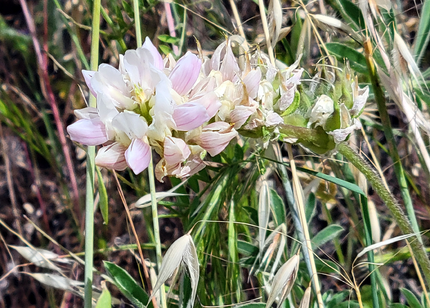
| A mass of thistles at the trailhead | Not rare, but not common, the white lupine | Root ball of fallen
tree is topped with new grass |
 |
 |
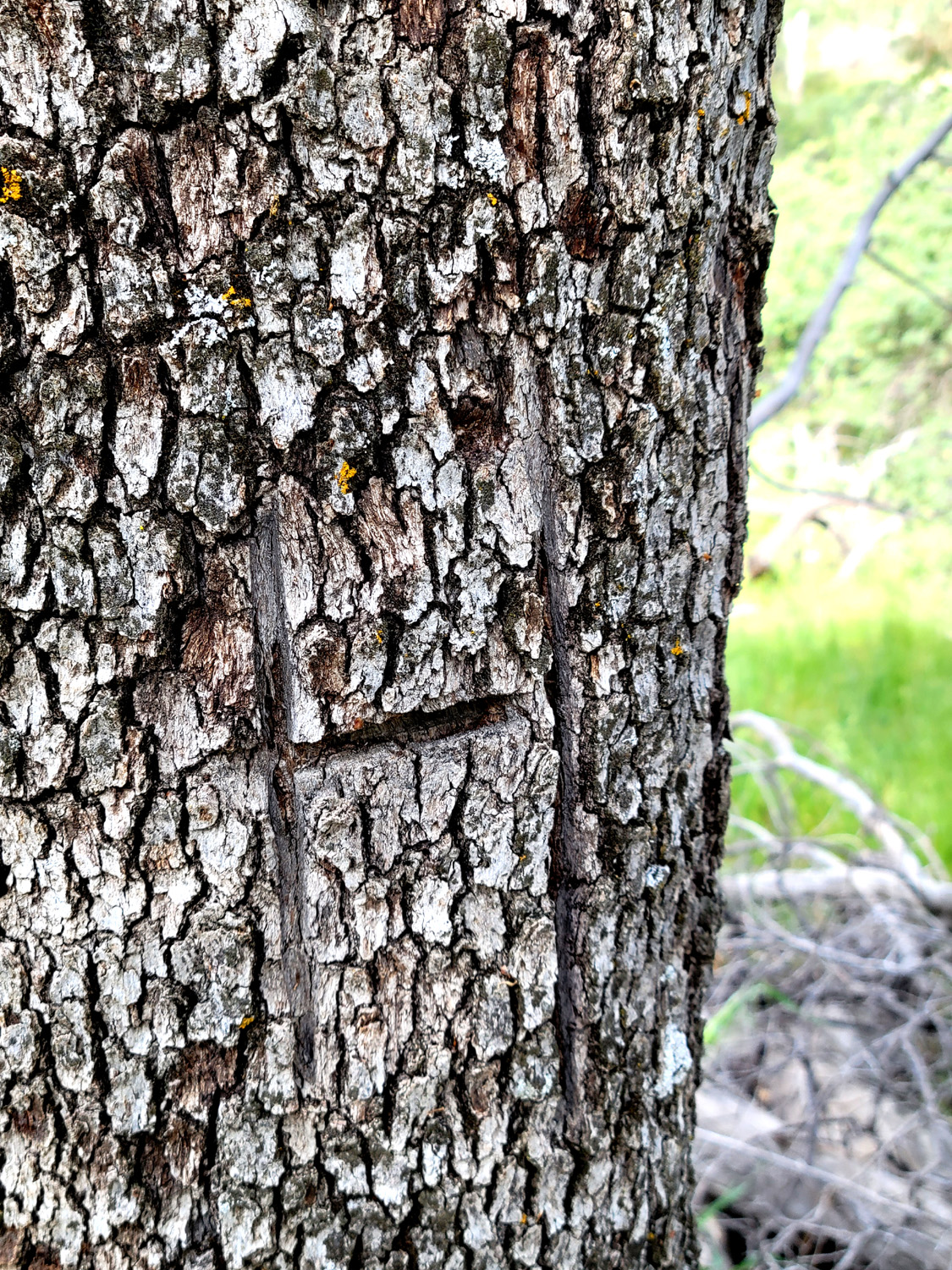 |
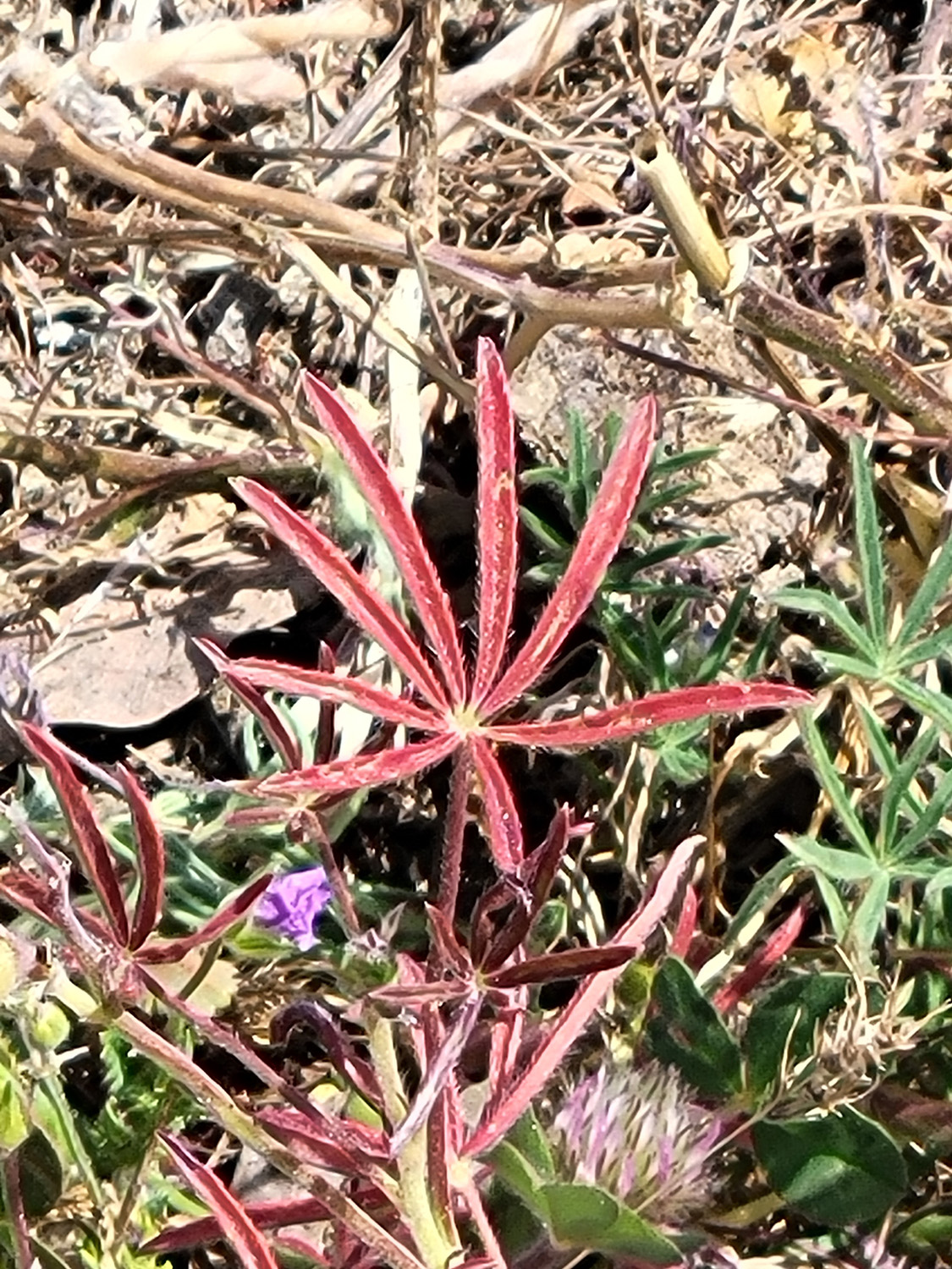
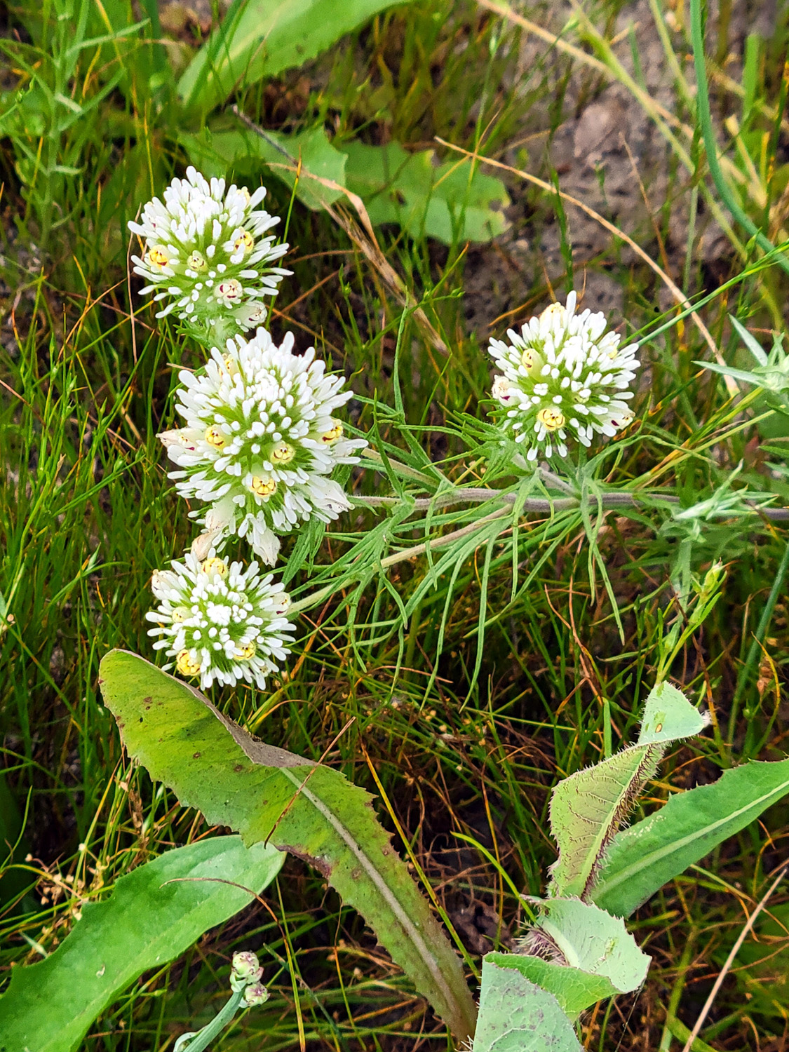
| Unusual red lupine plant | Owl clover | Blaze in blue oak by the trail |
|
 |
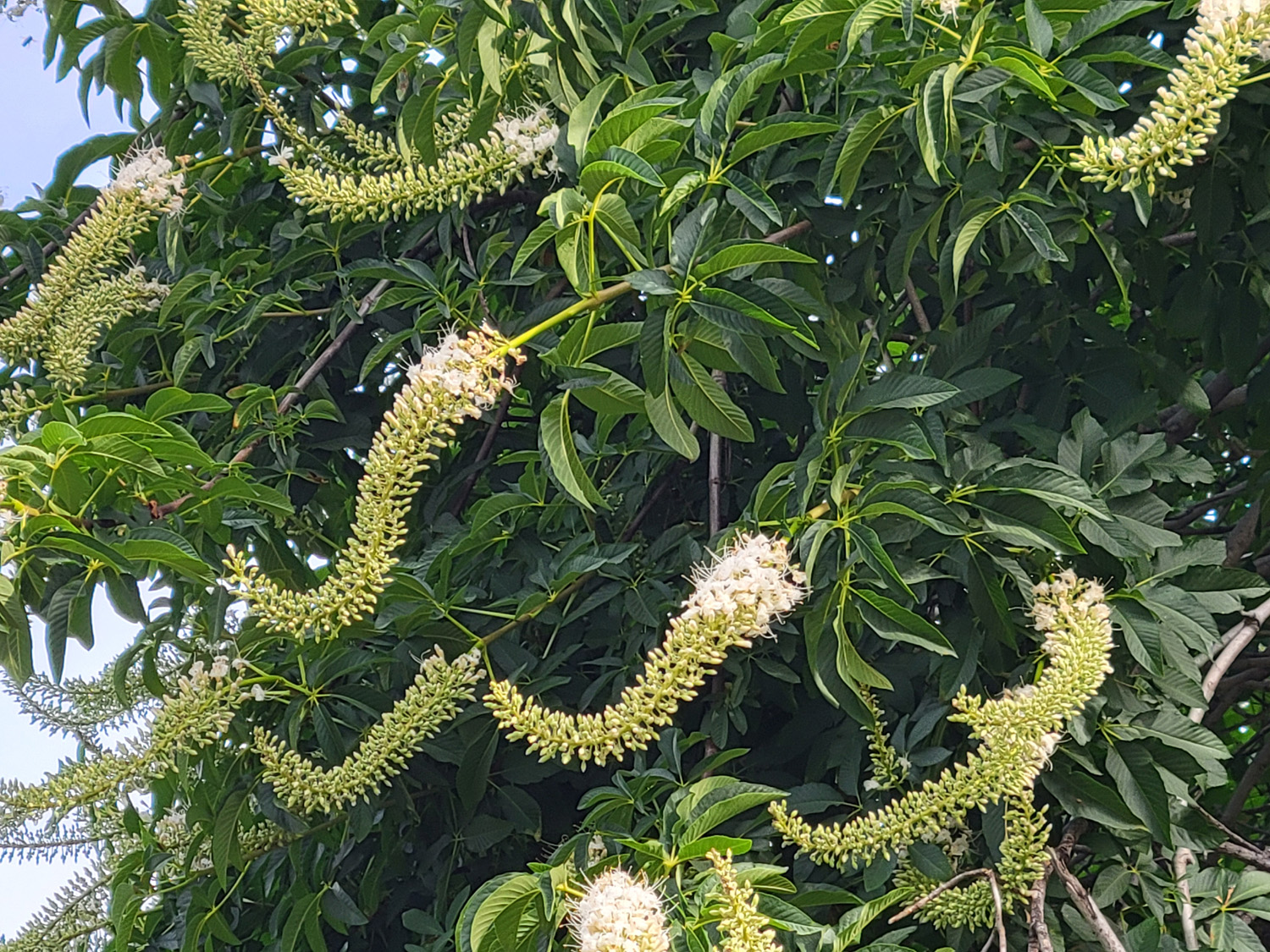 |
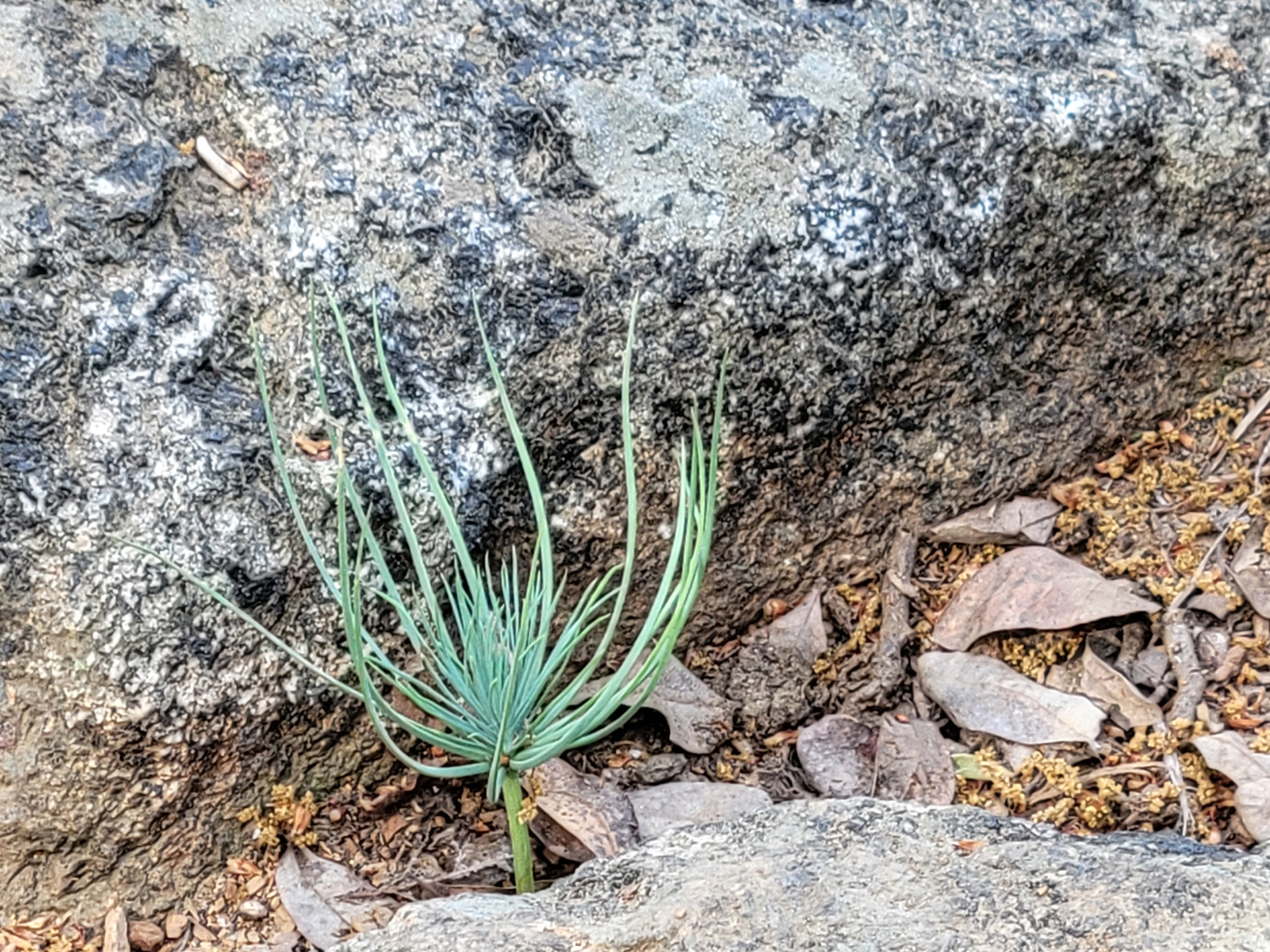
| Pine Flat Lake from the trail | Bull pine seedling | Buckeye blossoms by Trimmer Springs Road |
| Cat Sitting and Lewis Creek | ||
 |
 |
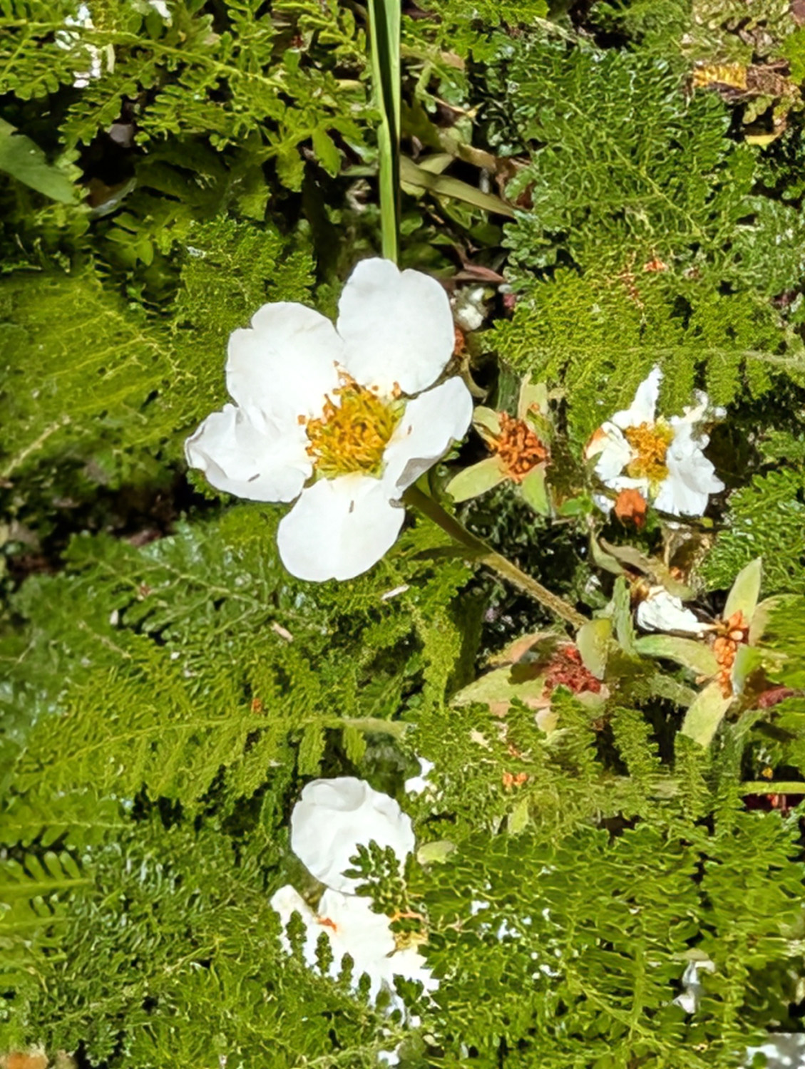 |
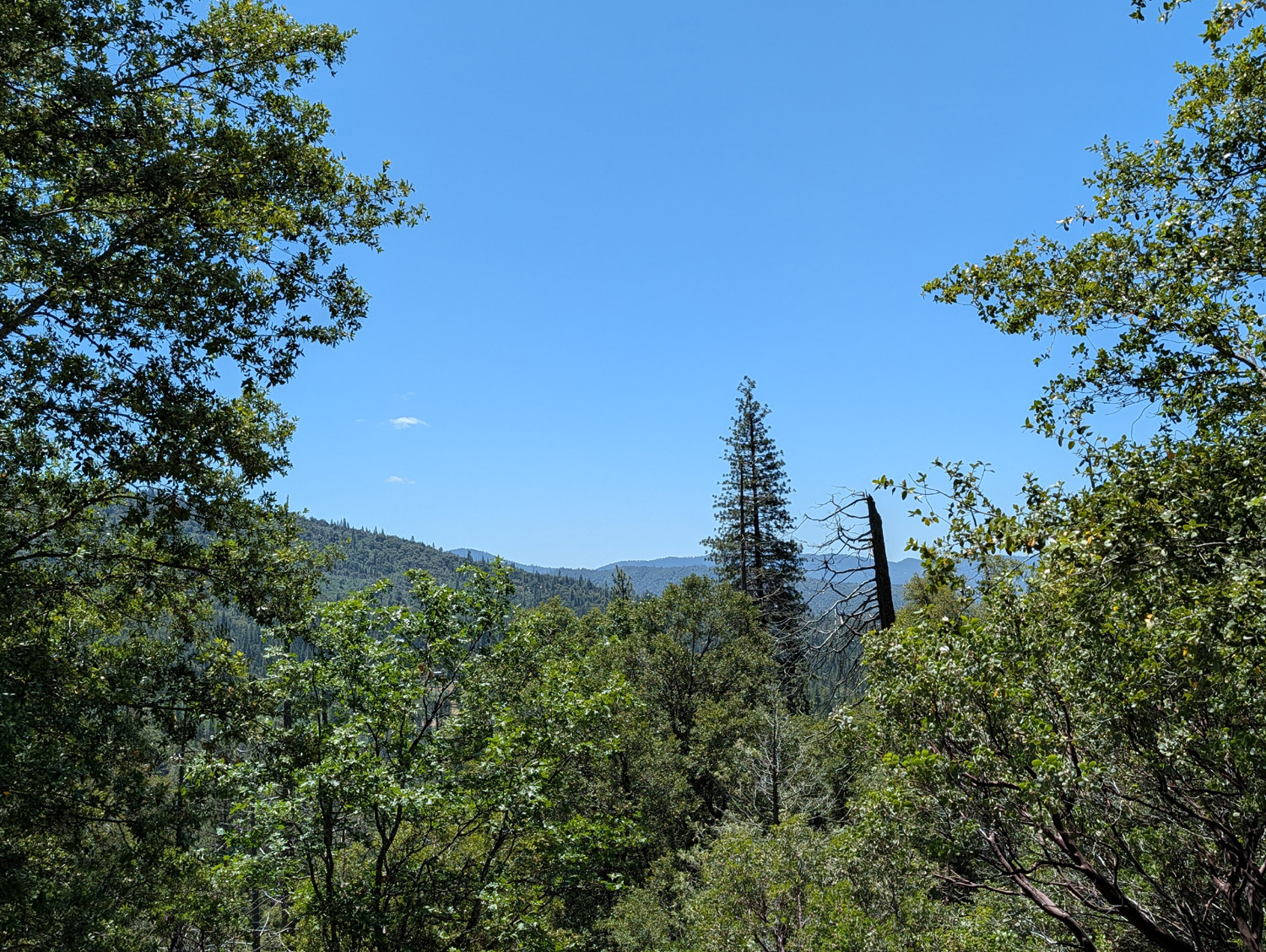
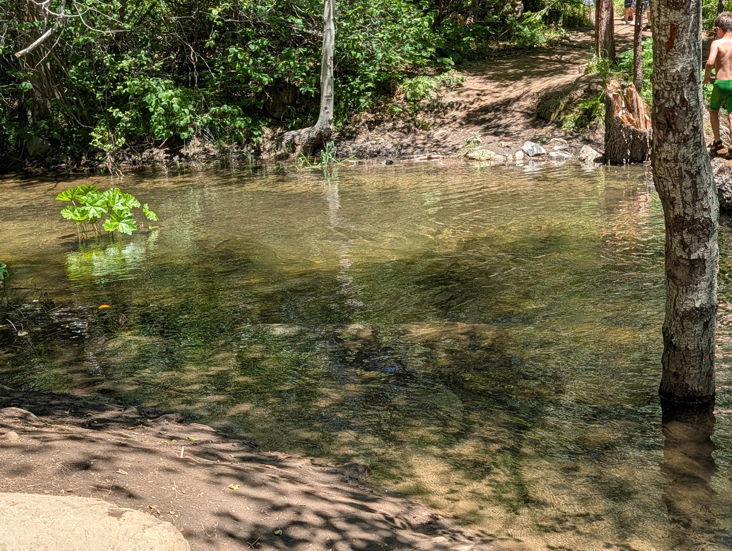
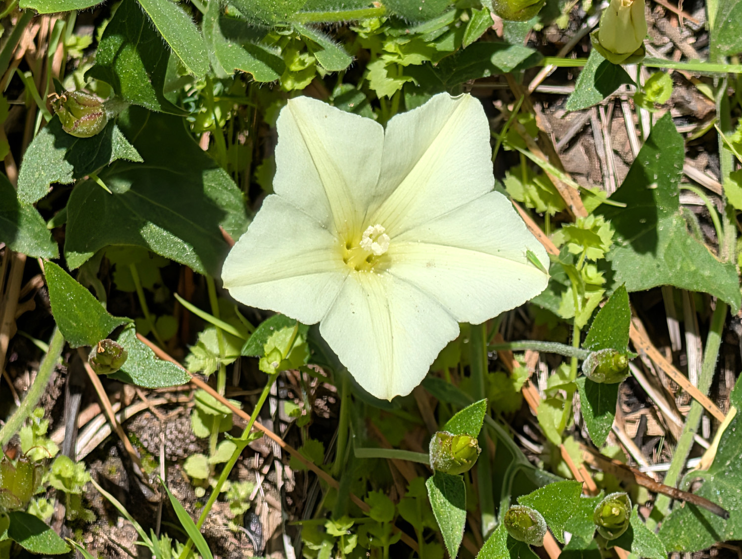
| View looking south from Lewis Creek Trail | Where a bridge should be | Bear clover blossoms |
 |
 |
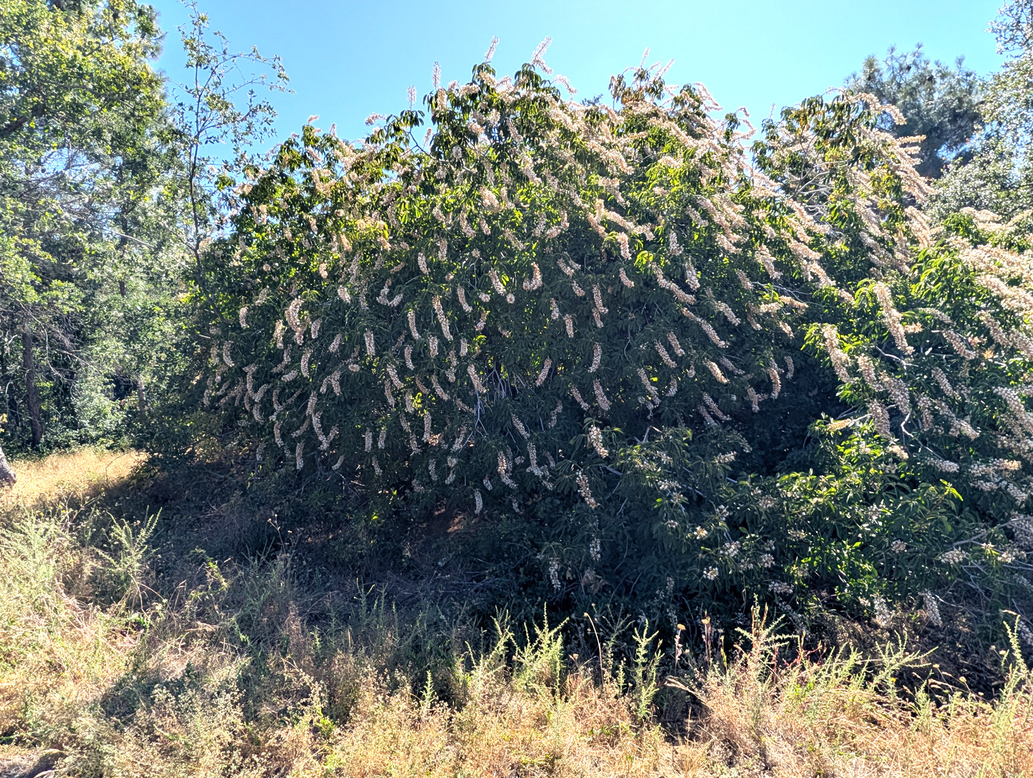 |
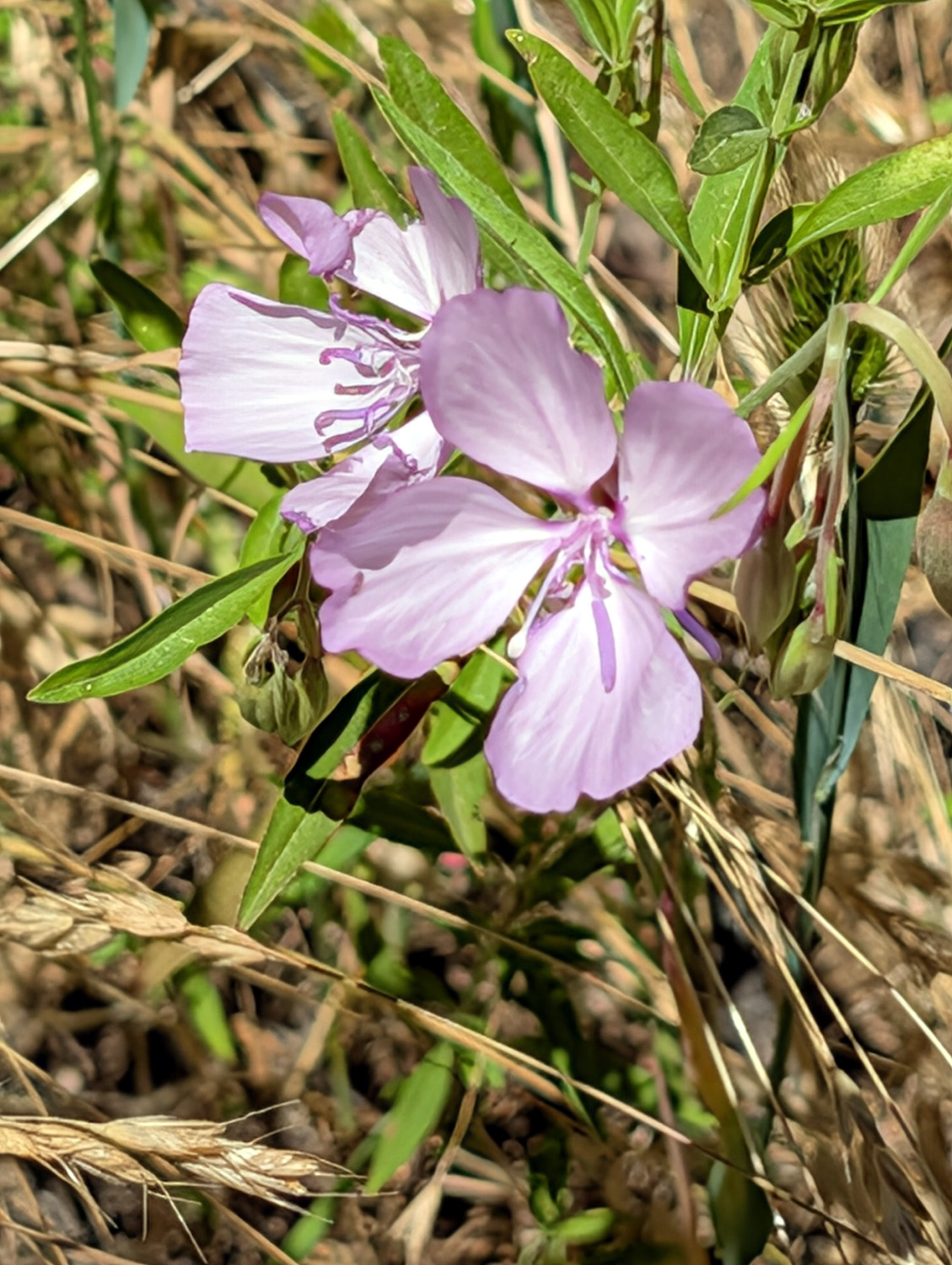
| Unknown flower along Sugar Pine Road | Clarkia | Buckeye in bloom |
 |
 |
|
| Farewell-to-spring | Wild turkeys on the Neely property | Artistic clouds |
| Nelder
Grove (Photos by Jack Upshaw & Dick Estel) |
||
 |
 |
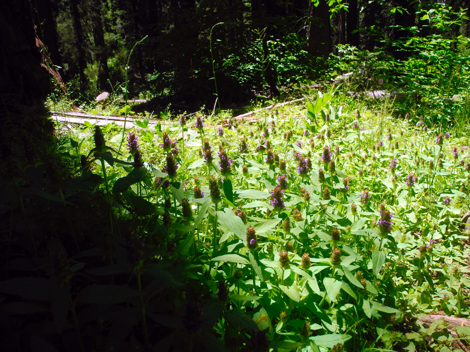 |
| These stumps are typically about 15 feet high | Looking up | A lush garden |
 |
 |
 |
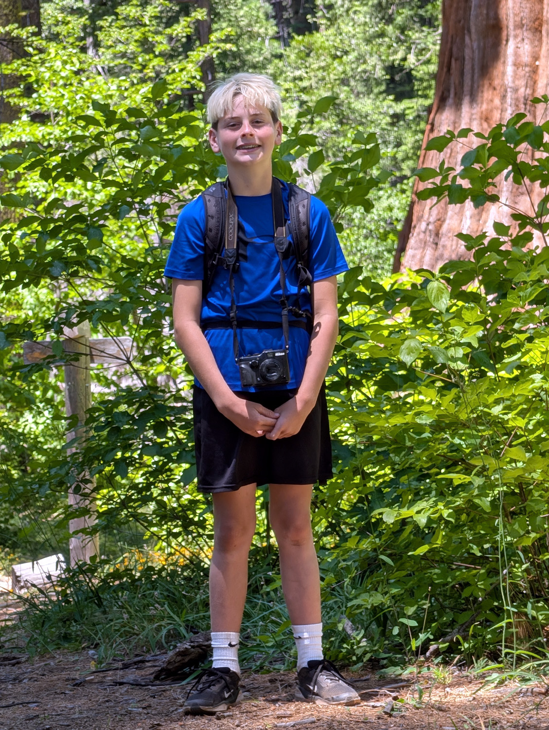
| Jack at the Bull
Buck (Click here to see his first visit) |
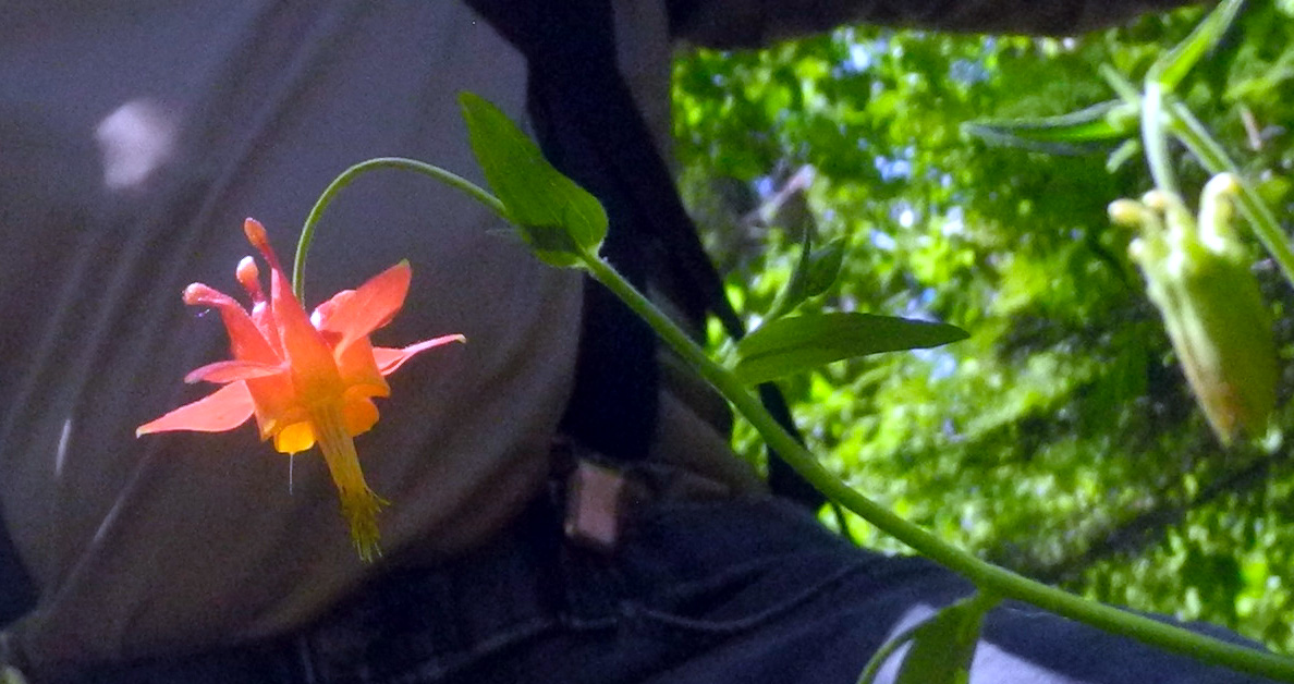
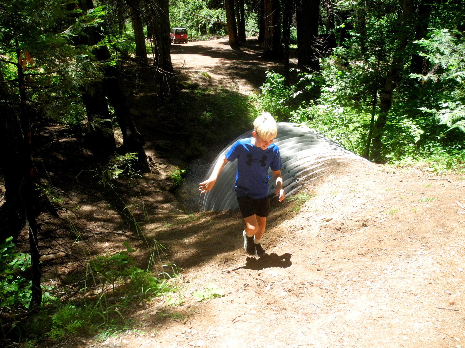
Columbine | The creek runs
through a big culvert under the campground road |
| Birthday
at Nelder Grove (Photos by Wes and Dick) |
||
 |
 |
 |
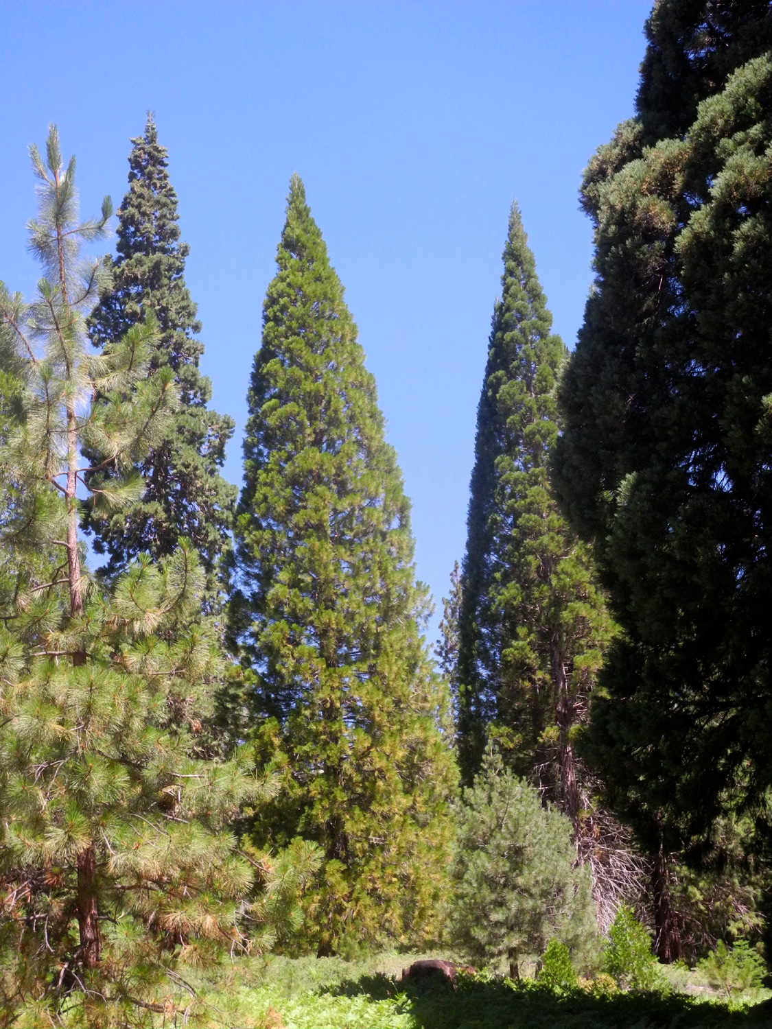
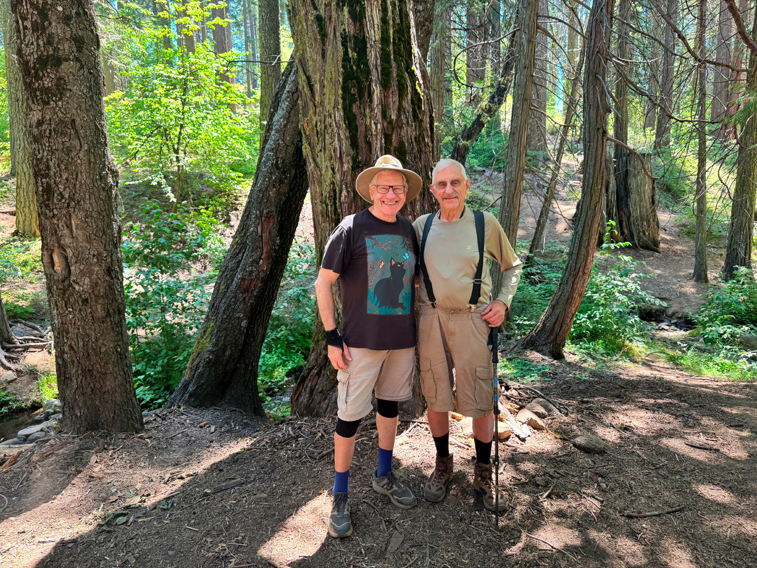
| Pointed tops identify young sequoias | Wes and Dick near California Creek | Mr. Bill, ready for his close-up |
 |
 |
 |
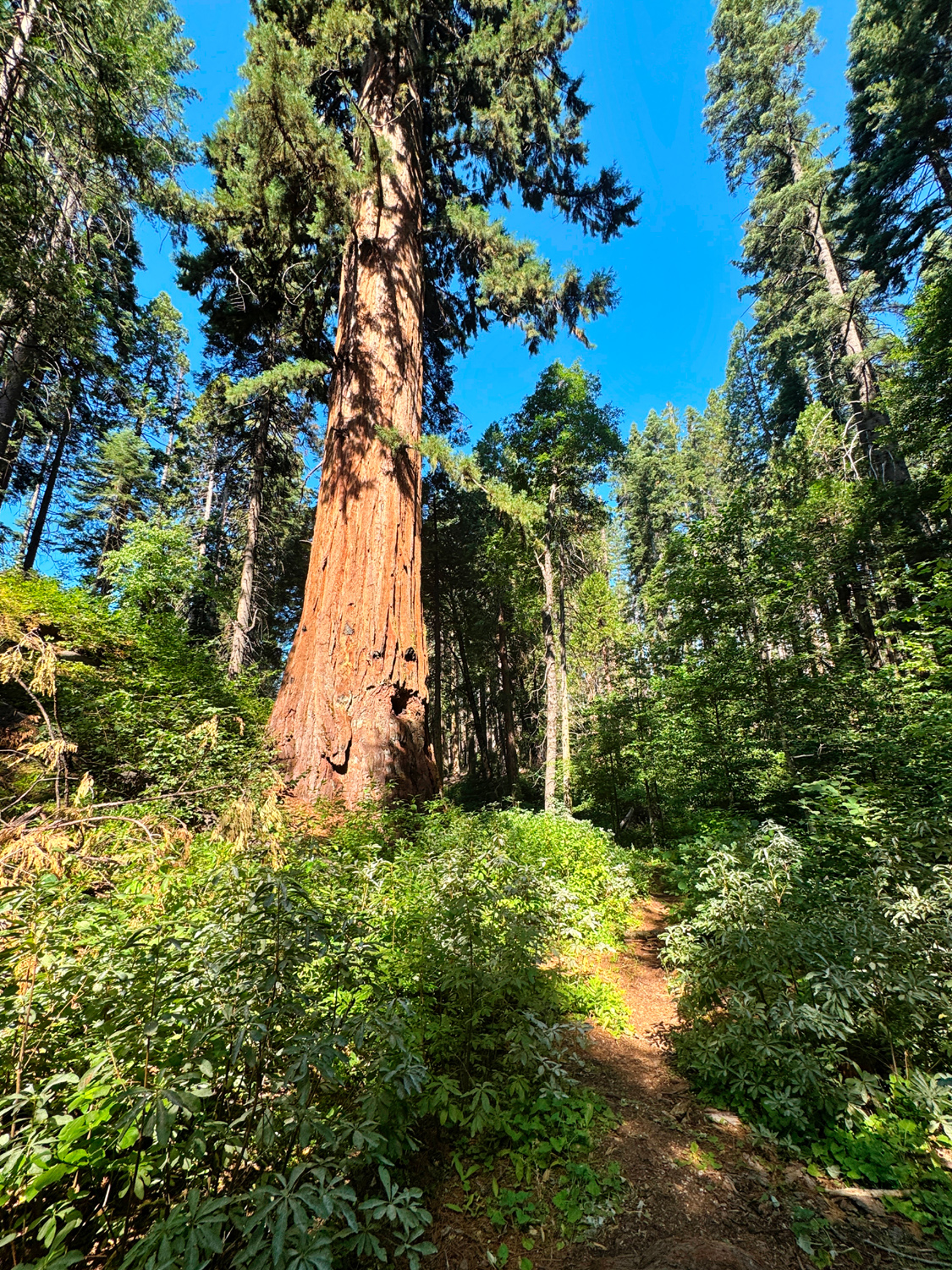
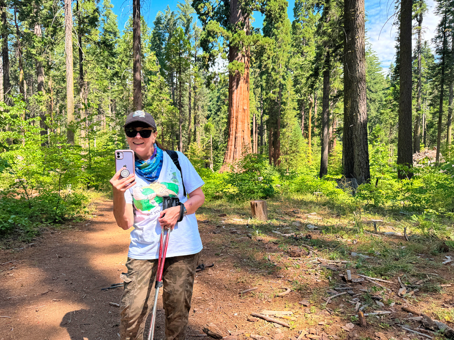
| The narrow trail and Mr. Bill | Jennifer takes a
picture of the Bull Buck, plus herself |
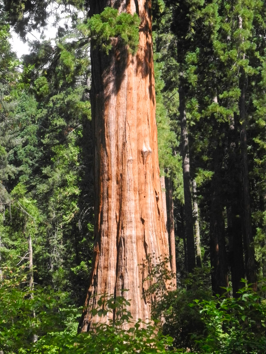
The bottom half of the Bull Buck |
 |
 |
 |
| Hard to believe, but
this path was a drivable road back in the 1970s |
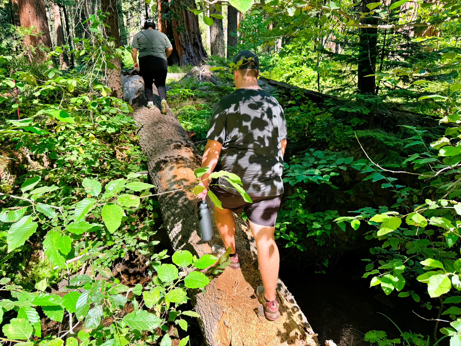
Father-Daughter Day in Nelder Grove | Hayley leads the way across the log |
 |
|
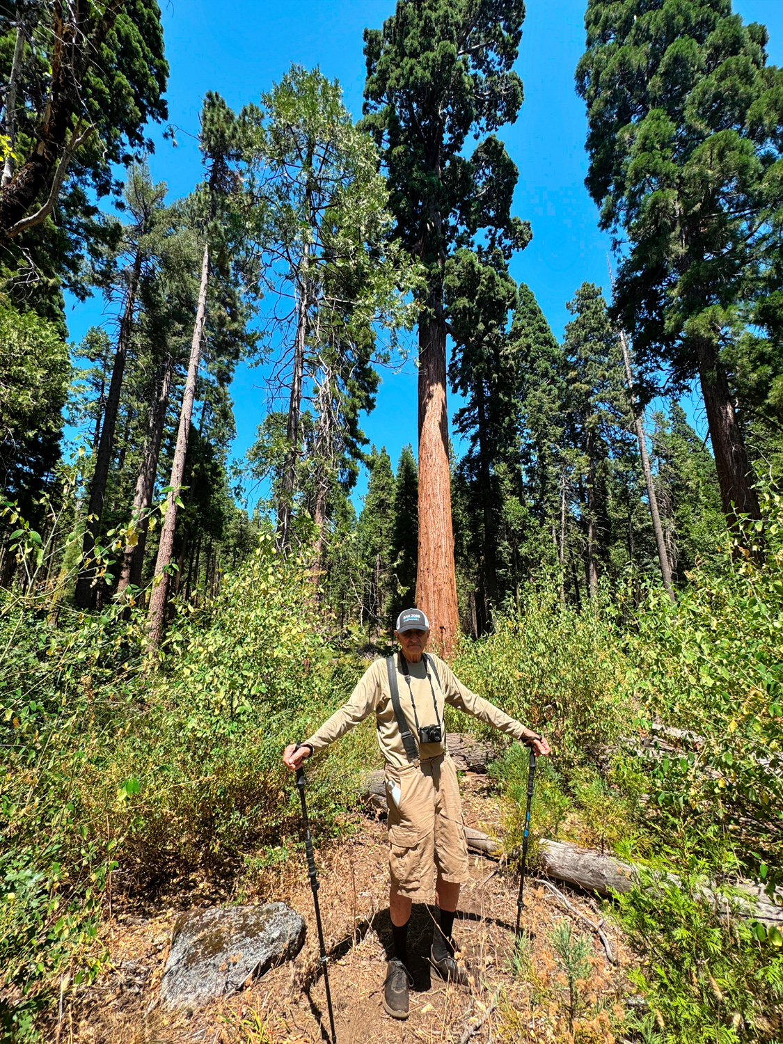 |
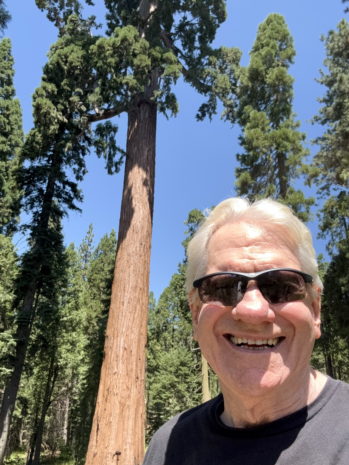
| Wes and the Big Ed | Big Ed by himself | Dick at the Big Ed |
| Related Links | ||
| Oakhurst | El Cid | Smokehouse 41 |
| Lewis Creek Trail | Sugar Pine | Old Yosemite Road |
| Bull Buck Tree | Chimney Tree & Other Nelder Trails | Nelder Grove |
| Big Ed Tree | Mr. Bill Tree | Nelder on Wikipedia |
| Dick's First Nelder Grove Essay | Another Nelder Hike | |