
|
Rambler Hikes 2026 Page 2 |
|
|
Rambler Hikes 2017 Rambler Hikes 2018 Rambler Hikes 2019 Rambler Hikes 2020 Rambler Hikes 2021 Rambler Hikes 2022 Rambler Hikes 2023 Rambler Hikes 2024 |
|
|
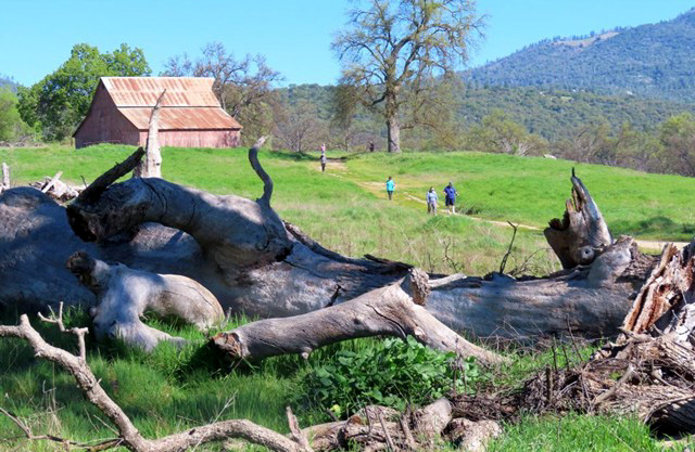
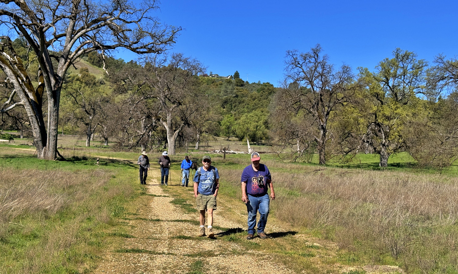
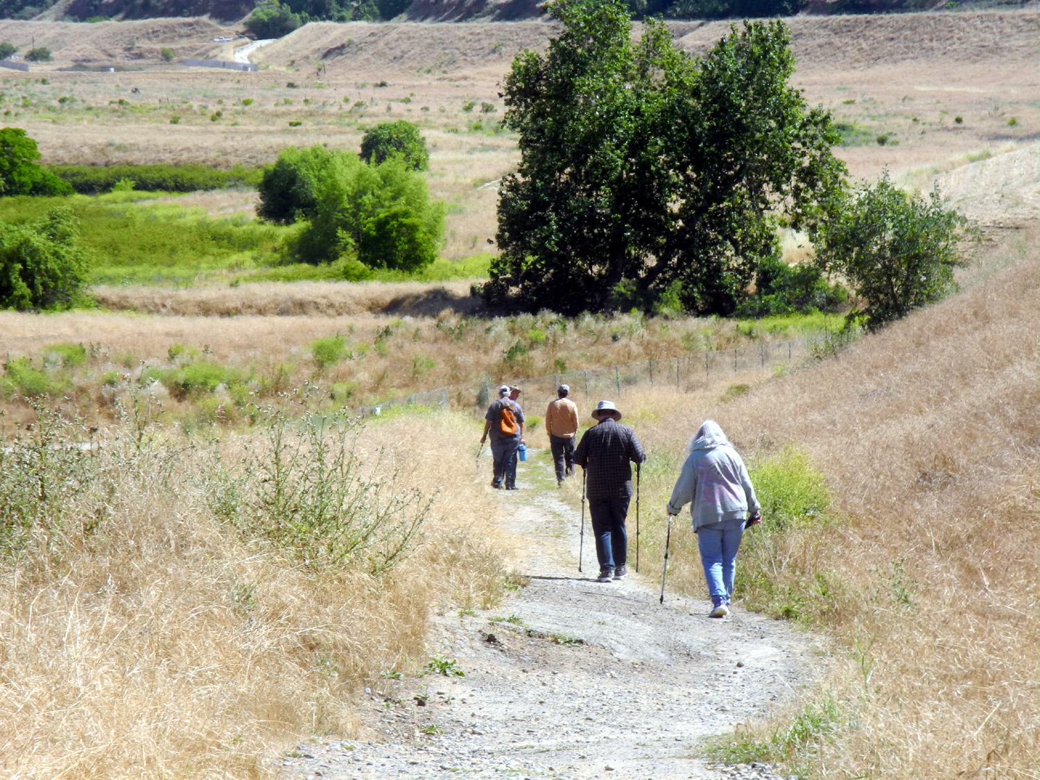
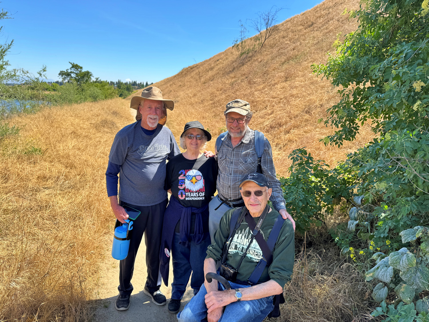
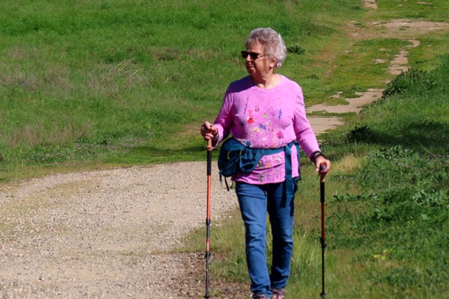
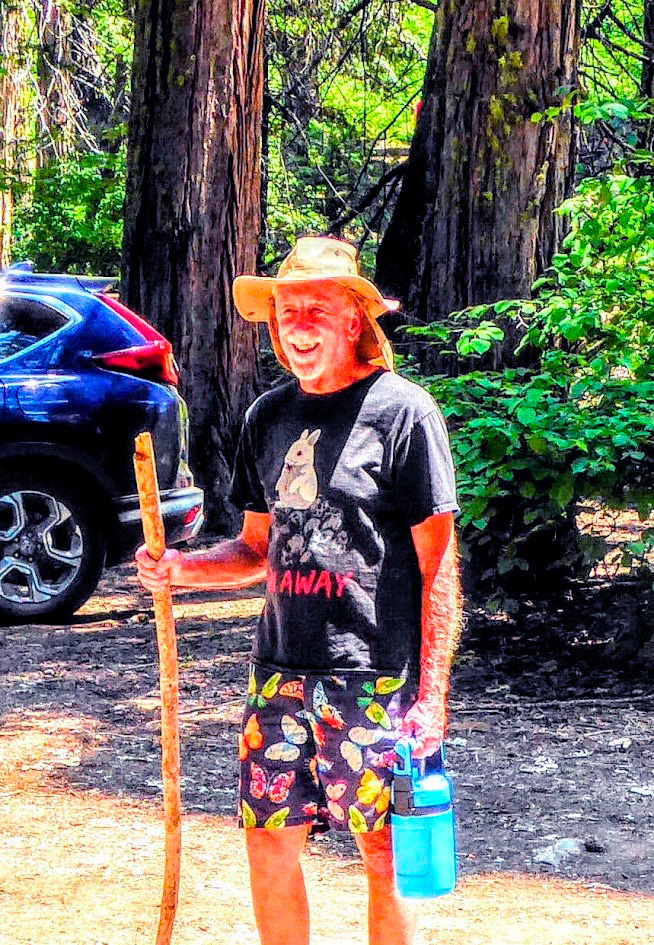
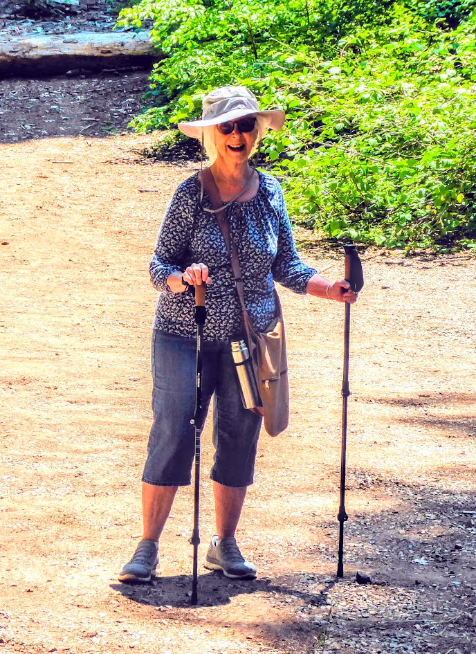
Ahwahnee Hills Regional Park If you're hiking on the last day of winter and it's 85 degrees, you're probably somewhere in central California. And you're probably experiencing an unusual and record-setting heat wave. This was certainly the case on March 19, when a record number of Ramblers turned out to hike at Ahwahnee Hills Regional Park, on State Route 49 in Ahwahnee.five miles from Oakhurst and State Route 41. This group of 16 included Sue Wirt, Laurie Fitzgerald, Patrice White, Judy Larrabee, Don Bandoni, Don McClellan, Wes Thiessen, Susan & Andy Crandall, Allen Ward, Keith & Beth Sohm, Dave Smith, Megan Smith, Bruce Nieman, and Dick Estel. |
|
 |
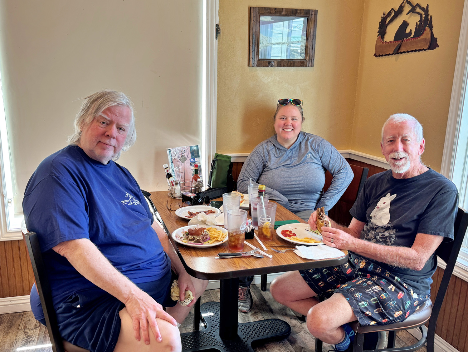 |
| Thirteen of the sixteen Ramblers filled this table | Not being unsociable - Dave, Megan and Bruce hurried to the restaurant because they all had to leave early for another obligation |
|
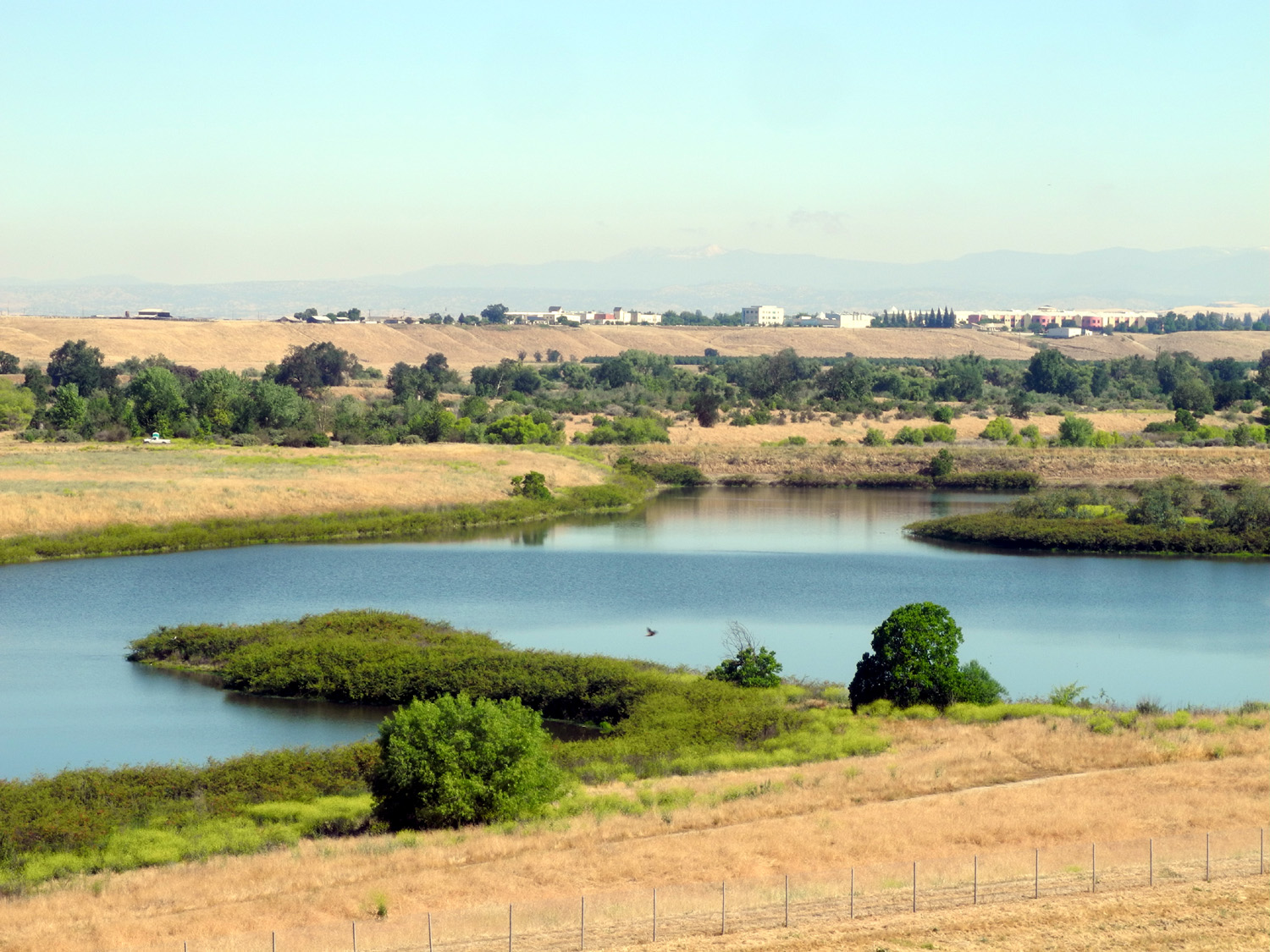
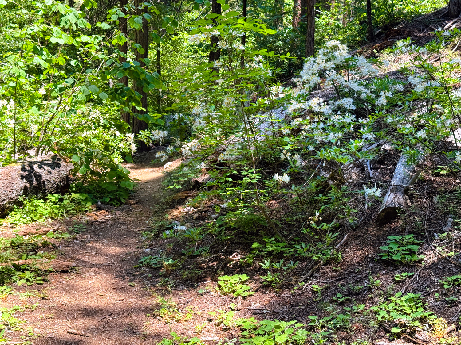
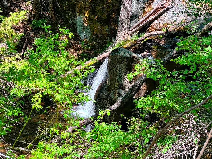
This 400 acre tract is a former tuberculosis sanitarium, former youth detention facility, former abandoned land slated for development that was purchased and preserved for public use by the County of Madera. Most of it is level, with a short climb down from and back up to the parking lot. A network of trails runs through it, offering green meadows, valley oaks, an old barn, a pond, and a little creek for the enjoyment of hikers, bikers and horseback riders. Wildflowers? Surprisingly few, unlike most foothill locations. |
|
 |
 |
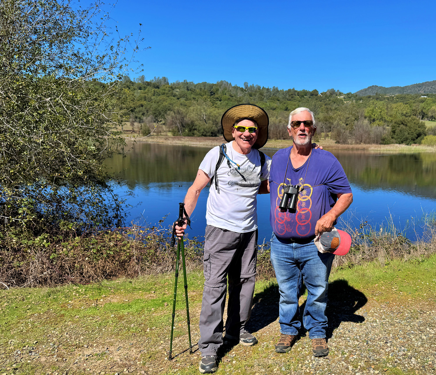
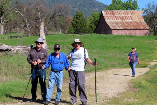
| Wes and Don B by the pond | An old barn sits on the property |
|
|
|
|
Needless to say with a group this large, we separated into several groups, with people drifting from one to another as we walked. At one point we learned that Allen was celebrating his 80th birthday, so it became a celebratory walk, with a song coming a bit later. Although the normal high temperature for this location and date would be the low 70's, we have had a stretch of very dry and well above average readings, with it topping out around 85. |
|
 |
 |
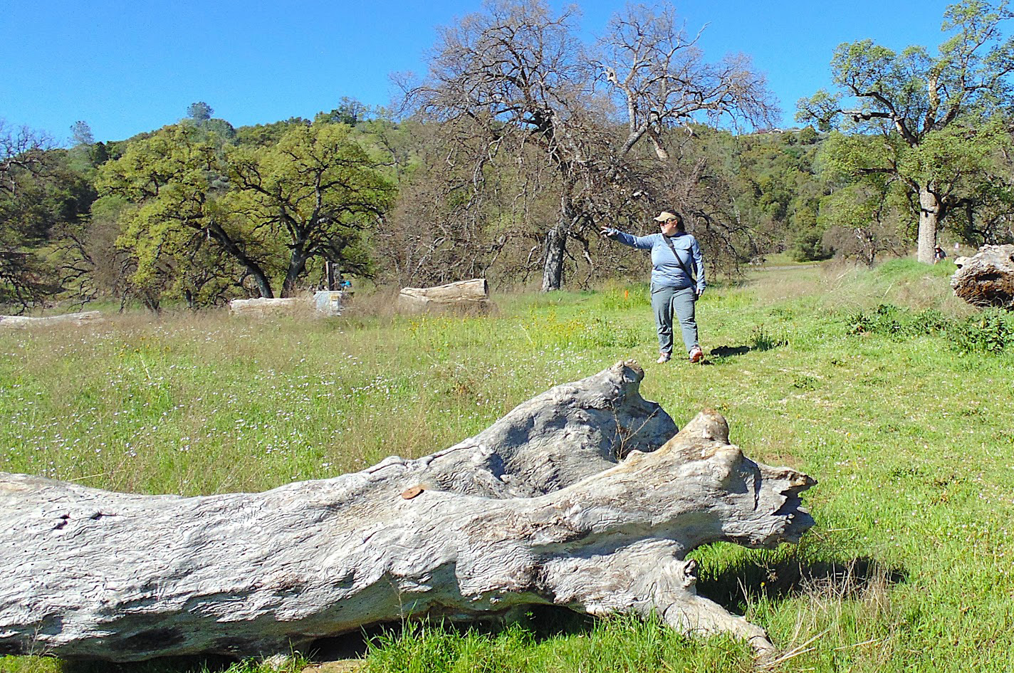
| Megan points out...something | Allen, Don M, Wes and Don B after exploring the barn |
 |
 |
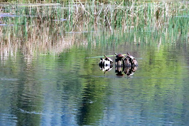
| Turtles on the pond | A typical
trail section. With all those trees, you'd think at least a few of them would shade the walkway |
|
This did not detract from our enjoyment of the surroundings and the company, and we carried our enjoyment into our late lunch hour. Although we usually eat at a place in "downtown" Ahwahnee, we went with Judy's recommendation to visit the Mountain Oaks Cafe in the middle of Oakhurst. Everyone agreed that this was an excellent choice, which probably contributed to the enthusiasm with which we sang "Happy Birthday" to Allen. The Ramblers will be having a special weekend "family hike" in April, at the San Joaquin Gorge. After that everyone agreed we need to move up higher in elevation for the rest of our spring. --Dick Estel, March 2026 A few more words about this particular group: Most of the names and faces are familiar to regular readers. First-timer Judy is Patrice's sister and lives in Yosemite Lakes Park, a residential development on the west side of Highway 41 about 20 miles downhill from Oakhurst. Susan and Andy are residents of Mariposa, old friends of Dick, and usually join us only when we hike closer to their home. Allen joined us for the first time since September, having dealt with some health issues. |
|
 |
|
| Panoramic vista of the pond, with Miami Mountain in the distance | |
| San
Joaquin Gorge
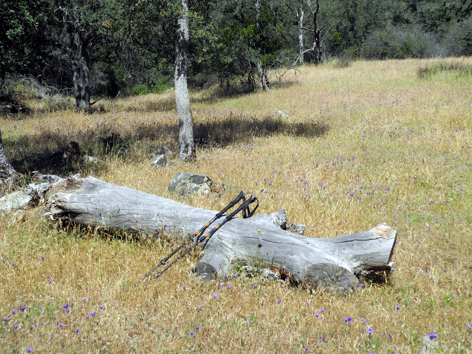
This was the long-awaited Ramblers family hike, held on a weekend (April 11) so that friends and family members who work or are in school could join us. There was a fair amount of interest, but as the day got closer, people kept backing out one by one, and the hike ended up being just myself (Dick) and my older daughter Teri. Perhaps some were put off by the weather forecast. A bit less than a week before the hike a big storm was being predicted for the weekend. I held my breath as I watched the forecast, and this took care of the problem. As the date got closer, the day of the storm kept getting pushed farther into the future, and we had perfect weather for the hike - just a light breeze, comfortable in a t-shirt, and not a drop of rain. Fulfilling the final prediction, there was an intense rain about 9 o'clock that night, with snow in the higher mountains. When we arrived, the parking lot was almost full, not surprising on a Saturday, but it appeared that most people were going down the Bridge Trail. Teri and I were going on the upper trail, officially the San Joaquin River Trail. The Bridge Trail goes one mile down to the river, and across the bridge, on the Madera County side, forms a loop about eight miles long. From the western side of the loop, another trail goes down to Lake Millerton. The San Joaquin River Trail starts across the road form the parking lot and goes about twelve miles to Sky Harbor on Millerton Lake, reached by a road that leaves Millerton Road right next to the Table Mountain Casino. I am 99% certain that this trail did not exist when I first started coming to this area, then called Squaw Leap, about 1980. As expected, the grass along the trail was very tall and starting to dry out except along drainages. We were not tempted to venture off the path into terrain that could hide tigers, bobcats, and more likely, snakes. |
|
 |
 |
| Tall grass and farewell-to-spring | A study in green and brown (and more green and brown) |
|
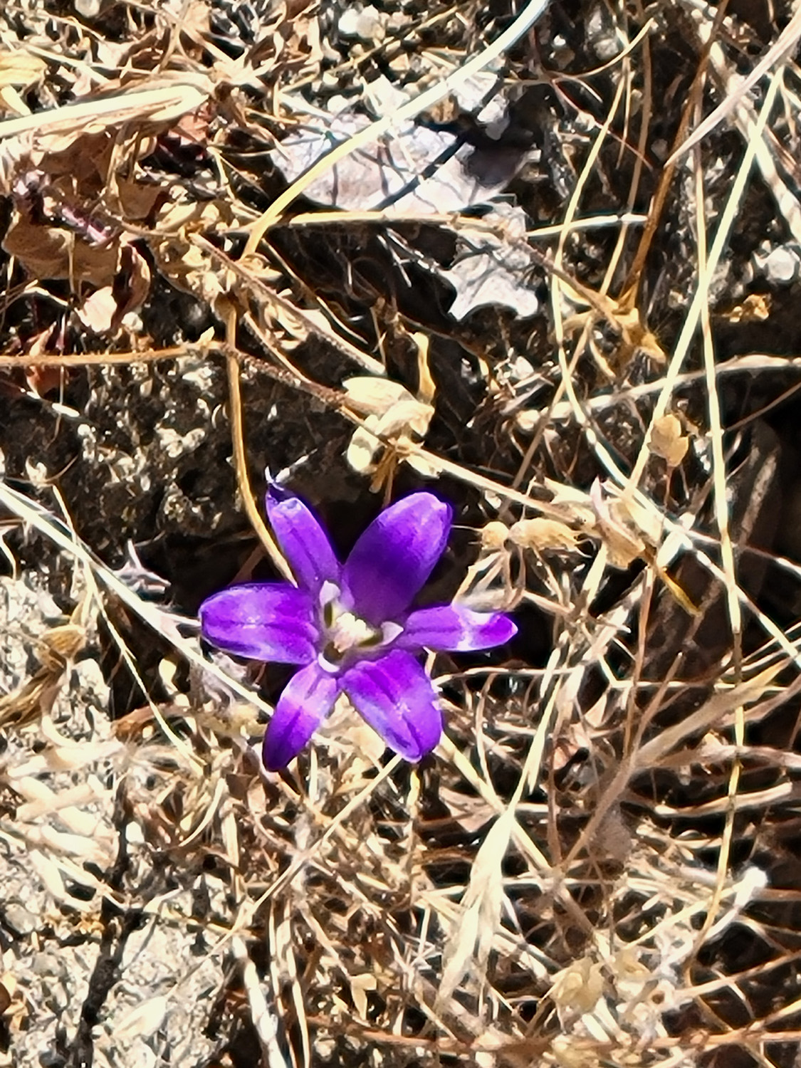
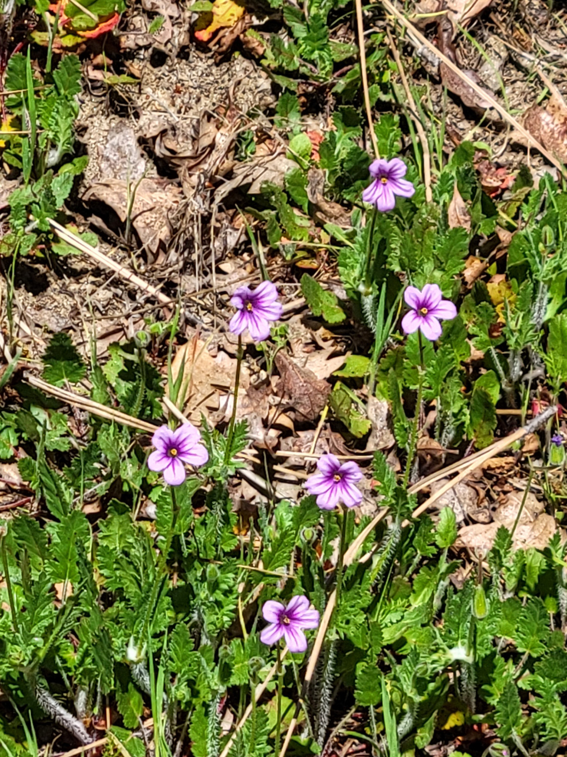
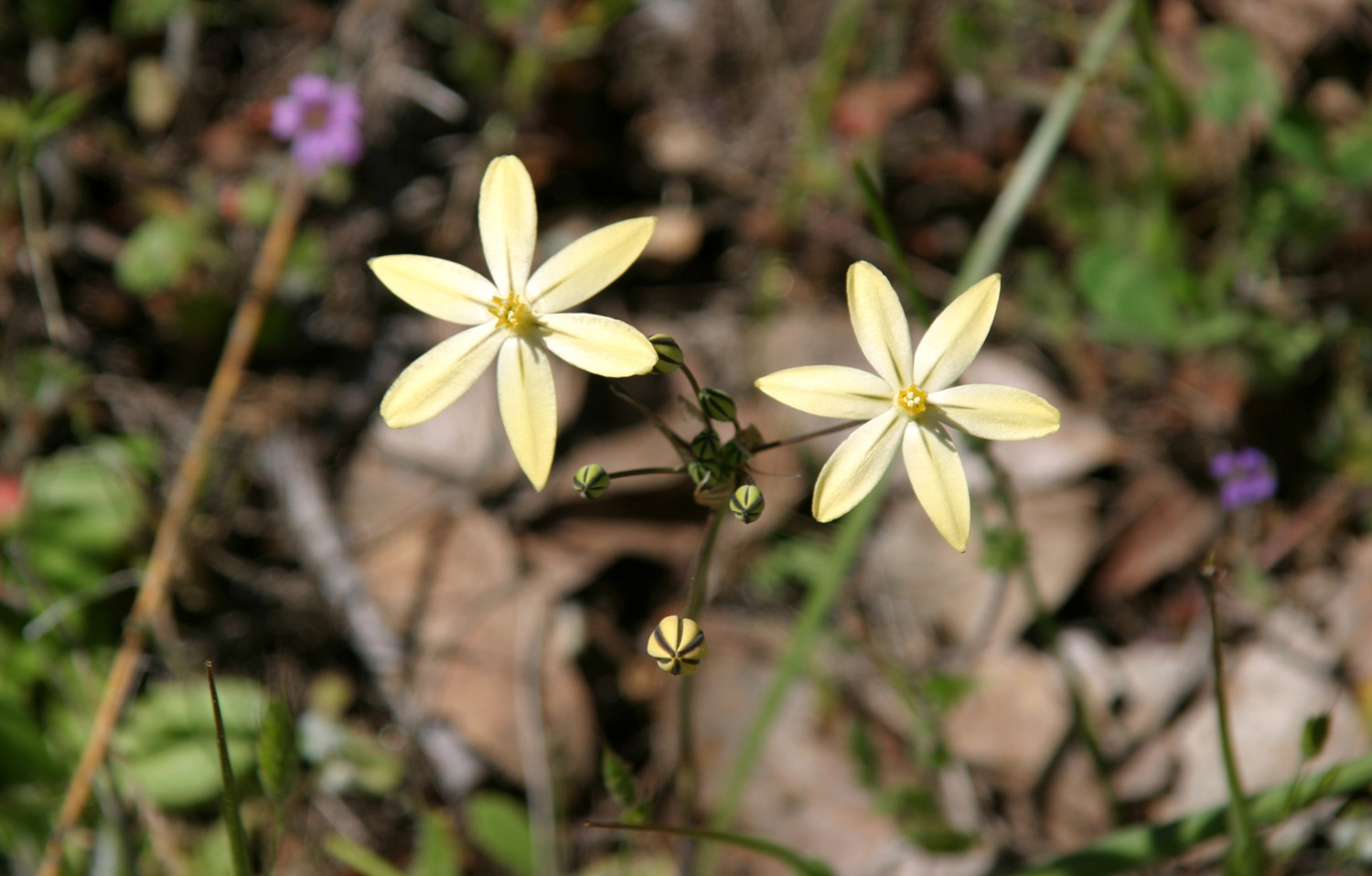
Of course our purpose in coming to areas like this is to see wildflowers, and we were not disappointed. There were hundreds of blossoms along our route, most of them small. Most common were filaree, one of the first to bloom and the last to go, with great numbers of tiny pink blossoms, as well as seed pods forming on most of the plants. Farewell-to-Spring, which in our area makes its first appearance as calendar spring begins, was the most common of the more showy flowers, joined by the deep violet Ithurial's spear, a brodiaea species. Some of the earliest bloomers, fiddlenecks and popcorn flowers, made a token appearance, as if to remind us that they were once the most common blossom. We also saw clover, thistle, harvest brodiaea, dandelions, buckeye, and that old favorite, unidentified. |
|
|
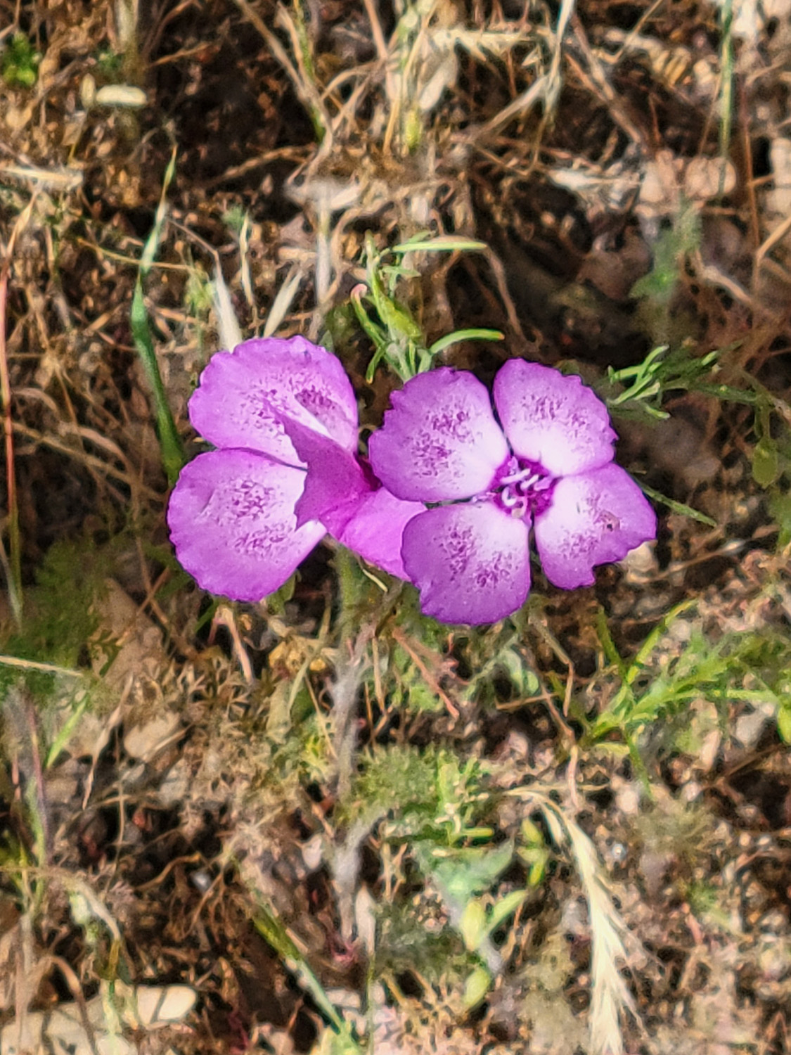 |
| Ithurial's spear | Farewell-to-Spring |
|
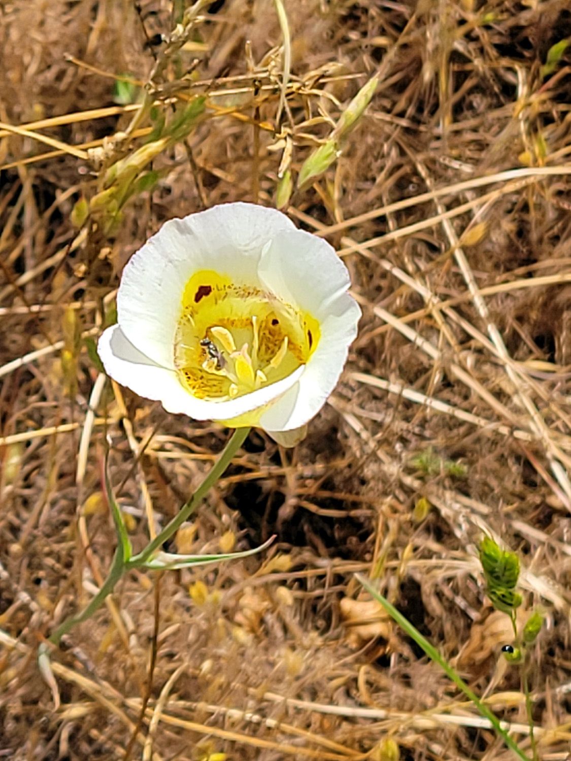
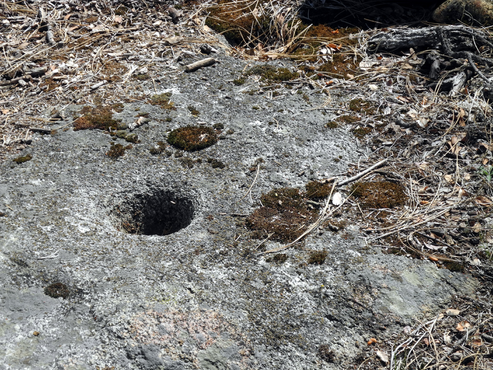
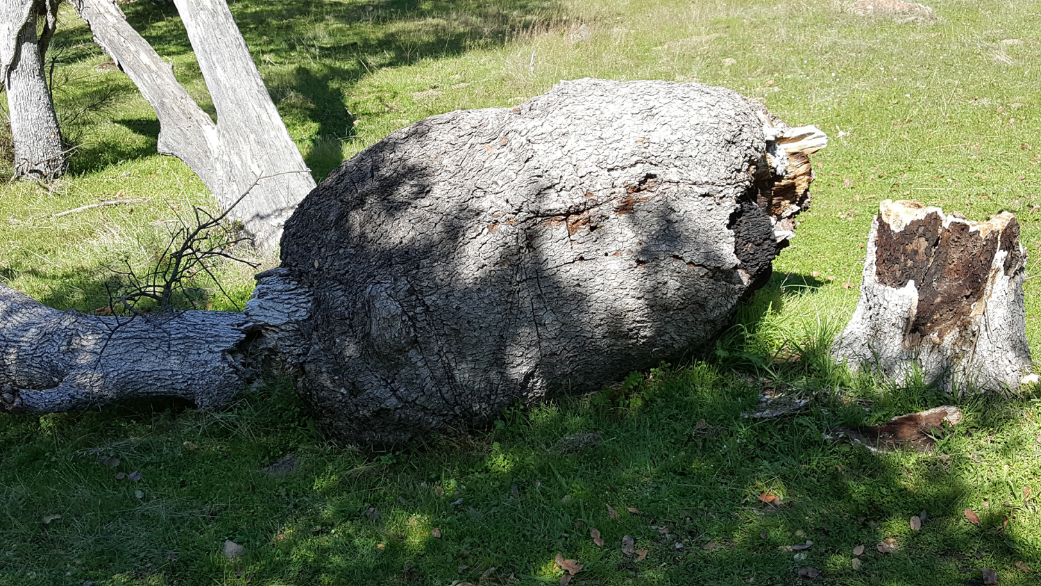
About a half mile down the trail, which this day was our turnaround point, there is what has long been a special place for me. It has a good sitting log, a blue oak with the biggest burl I've ever seen, Indian grinding holes, and the largest creek on this part of the trail. Sadly, the burl tree fell down a few years ago and is rotting away. The log is surrounded with thistles. Brush and tall grass discourage access to the grinding holes. However, we were still delighted when we reached this point - growing in the field across from the log were both white and the much less common yellow Mariposa lilies. Teri braved the steep section down to the creek, and reported that it is still running strongly. |
|
 |
 |
| Fairly common, white Mariposa Lily | Fairly rare, the yellow variety |
|
When we got back to the parking lot we drove the short distance to the group camp area, where there were no other cars, and where we found a level picnic table in the shade. We enjoyed our lunch there, and took a short side trip to the Nature Trail, which starts just back of the equestrian camp. This trail, a short double loop with informational signs about the plants and trees along the way, was badly overgrown, so we decided to skip it and headed home. We were sorry that none of the other Ramblers were able to join us, but we have hiked together many times, and were fine with a small, two-person hike. --Dick Estel, April 2026 |
|
| River
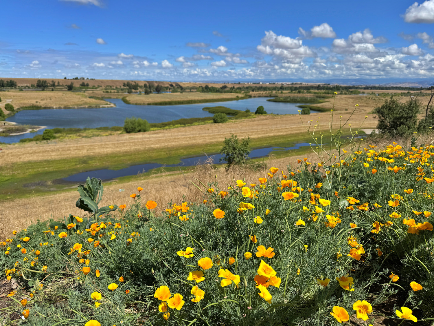
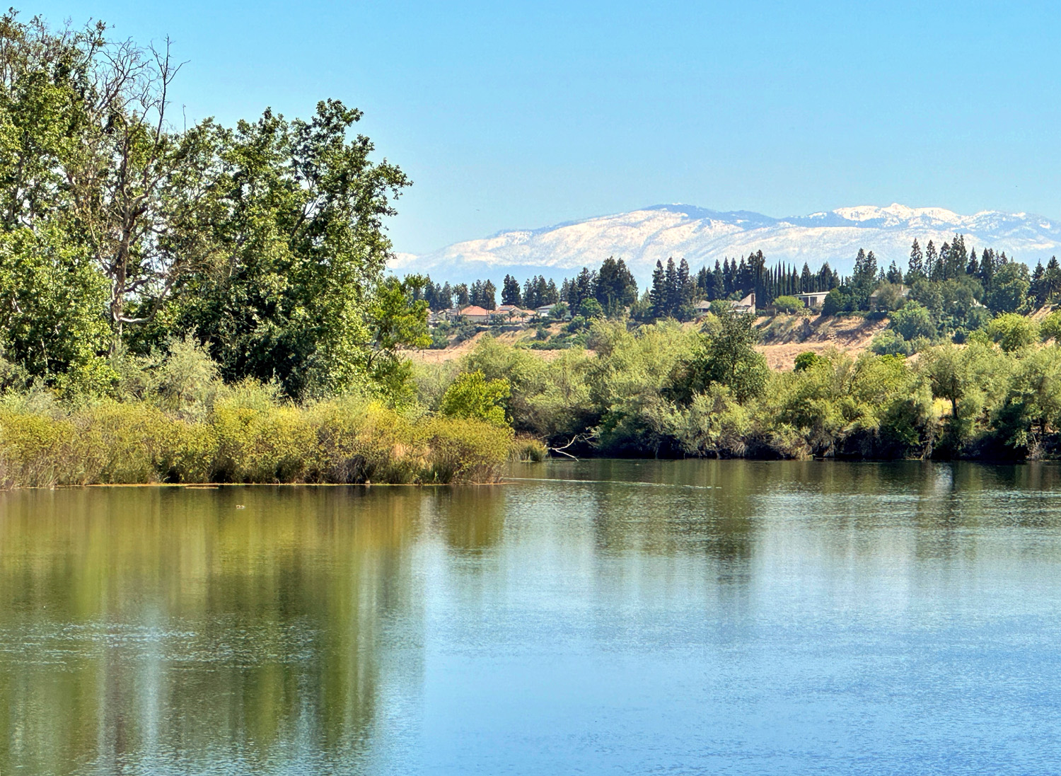
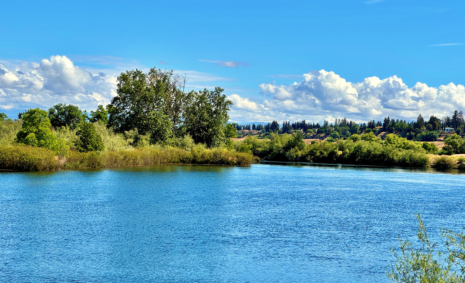
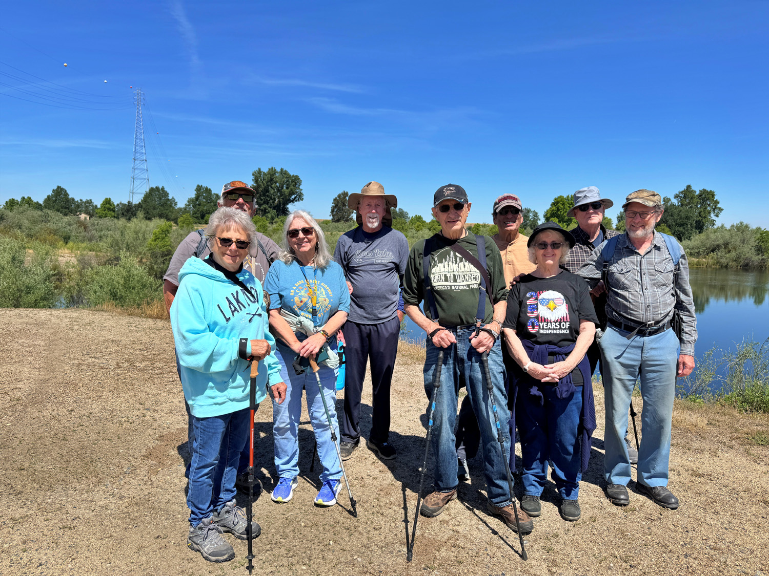
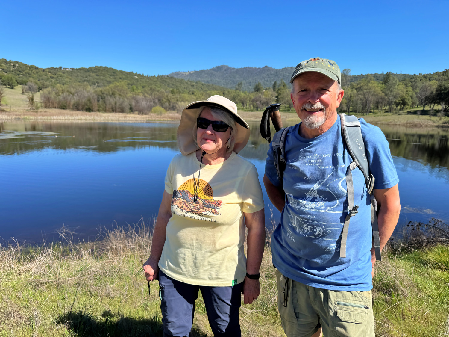
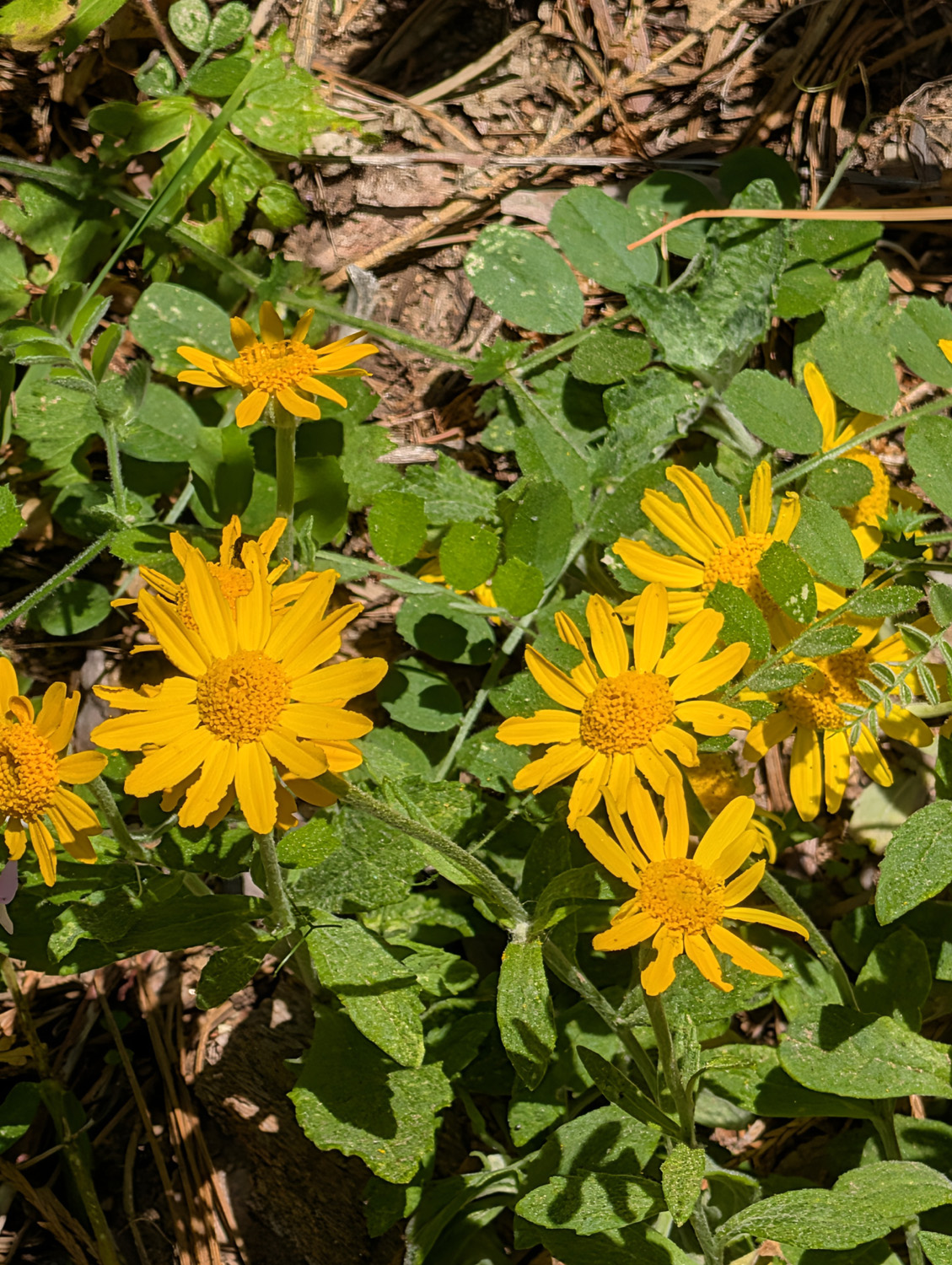
West (Photos by Wes and Dick) The Ramblers were all set to go to Nelder Grove for the first time in two years. However, a late April snow at that 5,000 foot location, followed by rain the next day and a high of 50 degrees forecast for the hike date gave us pause. The last three miles or so are dirt, in average condition part of the way and quite rough the last half mile. Cold, wet, and muddy - the astute hiker goes to Plan B. This was River West, a public hiking area in the San Joaquin River bottom just north of Fresno. At Palm and Nees, right next to an up-scale business park and shopping area, you will find Spano Park, a "pocket" park, with plenty of parking space. The view from the park takes in three ponds south of the river, which were gravel pits back in the last century. A short walk along the bluff brings you to a moderately steep but short section that goes down to the river bottom level, after which you can meander on a series of trails around the ponds. The first part of the trail is single file width, with plenty of tall weeds and flowers, including one we had not encountered before. Two of our hikers both used apps on their phones to identify it as silverleaf nightshade. That word is often preceded by "deadly," and the phone warned us that the plant and blossoms are toxic. |
|
 |
 |
| Ramblers, almost to the river bottom | Beautiful but deadly, silverleaf nightshade |
|
It was an excellent day for photography, with clouds, water, and an unusually clear view of the snow-capped Sierra Nevada. We also spotted some tiny, inch-long toads in a puddle in the trail, and saw a long-necked egret on the river bank above us. |
|
 |
 |
| Poppies at the edge of Spano Park | Pond and the snowy Sierra |
 |
 |
| Another view of a river bottom pond | Buildings above the river include Valley Children's Hospital |
|
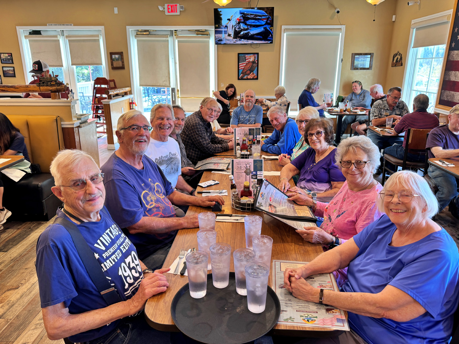
The hikers this day were Wes Thiessen, Bruce Nieman, Bruce Vasquez, Susan Silveira, Laurie Fitzgerald, Keith & Beth Sohm, Don Bandoni, Allen Ward and Dick Estel. We finished the day with an excellent lunch at the nearby Sabor Cocina Latina, one of several eateries within walking distance of the parking lot. |
|
 |
 |
| Most of the Ramblers | Lunch at Sabor Cocina (flavorful kitchen) |
|
Some Artificial Intelligence information about the area: Formerly farmland owned by Fresno developer Ralph Spano and family, this 500-plus-acre property was purchased by the San Joaquin River Conservancy in 2003 to protect it from residential development and incorporate it into the 22-mile San Joaquin River Parkway. After decades of delays and legal disputes with nearby homeowners, construction on the "Core Project" is scheduled to begin in Summer/Fall 2026 (we're not holding our breath). The project will extend the Lewis S. Eaton Trail by approximately 2.4 miles. A new trailhead will be added at Spano Park, located on the river bluff near Palm and Nees Avenues. The 528-acre Spano River Ranch was once slated for subdivision before being sold for preservation. This acquisition was a major milestone for the San Joaquin River Parkway, ensuring that a significant portion of the river corridor remained public open space rather than becoming a private residential development. The Ramblers encourage you to enjoy this delightful treasure right in our back yard. --Dick Estel, April 2026 |
|
| Nelder
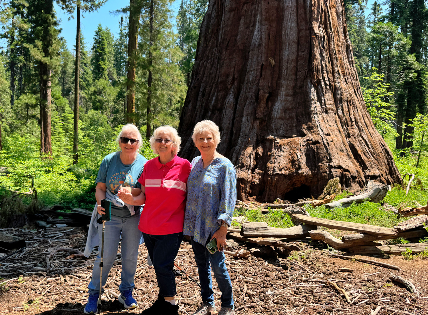
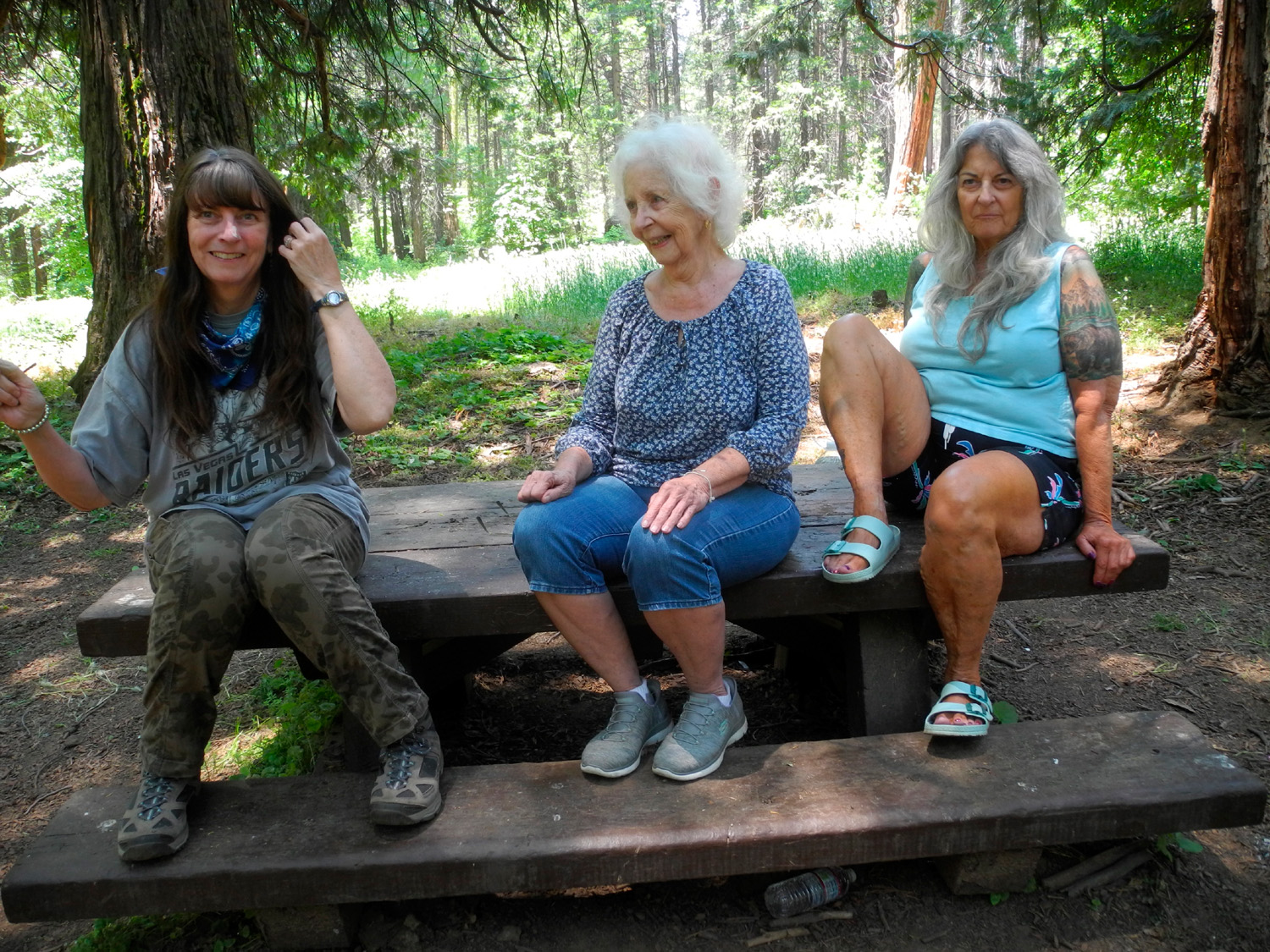
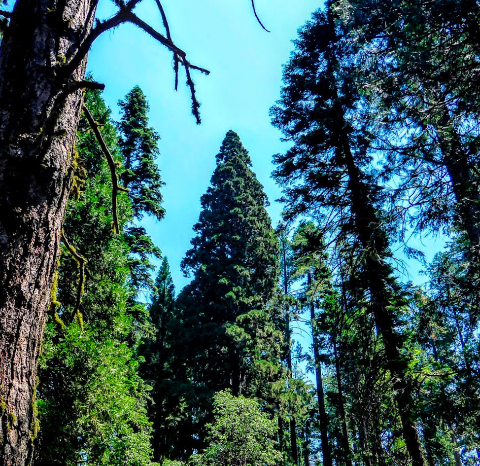
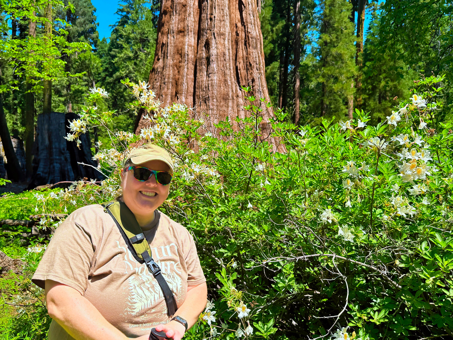
Grove (Photos by Dave, Don B, Wes and Dick) After a three-year closure, Nelder Grove is finally fully open, and the pent-up desire to visit this special place was demonstrated when 16 Ramblers and Scramblers joined our June 18 hike. I first visited this location in 1969 and it has long been a favorite. The Ramblers first went in 2014, and have been there at least seven times. Wes had gone up on a scouting expedition a week or two earlier, and reported that the gate was indeed open, and that the last half mile of the dirt road was somewhat rough. In other words, the same as it had been for 50 years. In fact, it looked as if some gravel had been added, and I thought it was better than usual. I was delighted that our group included both my daughters and their mother. In 1969 I had taken a picture of them sitting on the undercut of a fallen sequoia log, and for several years I have been wanting to re-create that picture. This was the first time all of us had been there together for some time, and we did our best to match the original. During the last 50+ years, trees and brush have grown up next to the log, and access was also blocked by a meadow with very tall, drying grass, so we made do by posing on a picnic table. |
|
 |
 |
| Jennifer, Jackie and Teri recreated this photo from 1969 | Dick and Jackie with daughters Teri and Jennifer |
|
There are several different trails that you can choose from, all of them meeting near the Bull Buck Tree. We arrived in several different groups, and did our hikes the same way. Teri, Jennifer, Jackie, Bruce N, Vickie and I parked on the lower side of the campground. From here a half-mile trail goes through the forest to the Bull Buck Tree. Along the way we enjoyed evergreens and oaks, dogwood trees of various sizes, and many wildflowers. |
|
 |
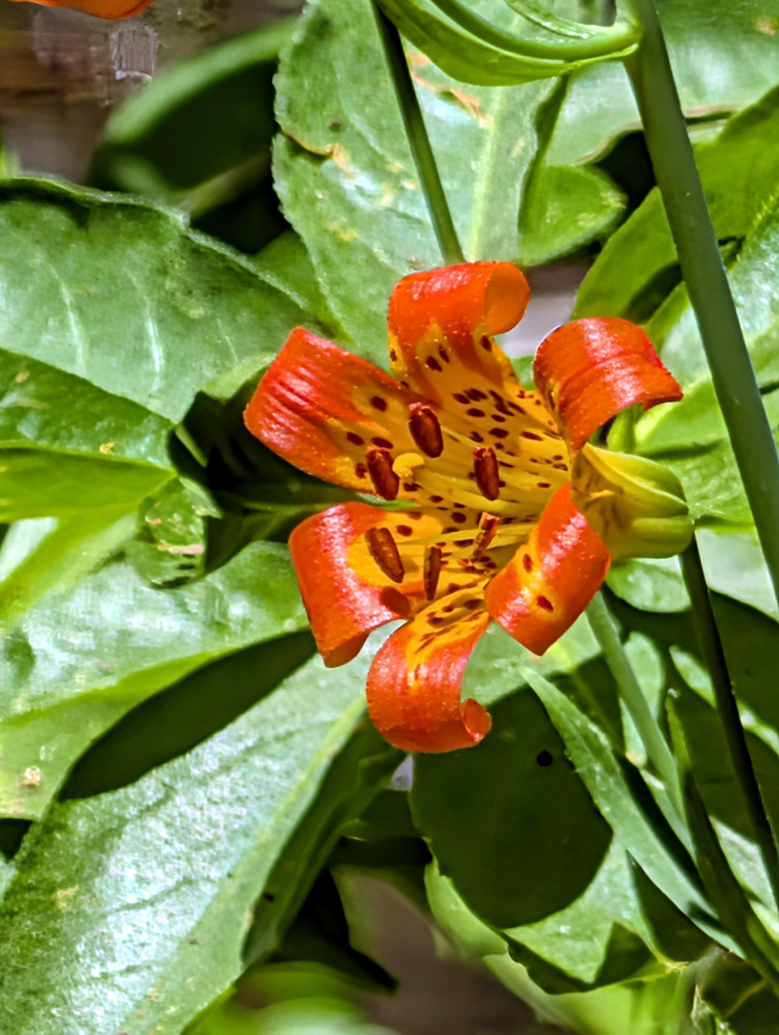 |
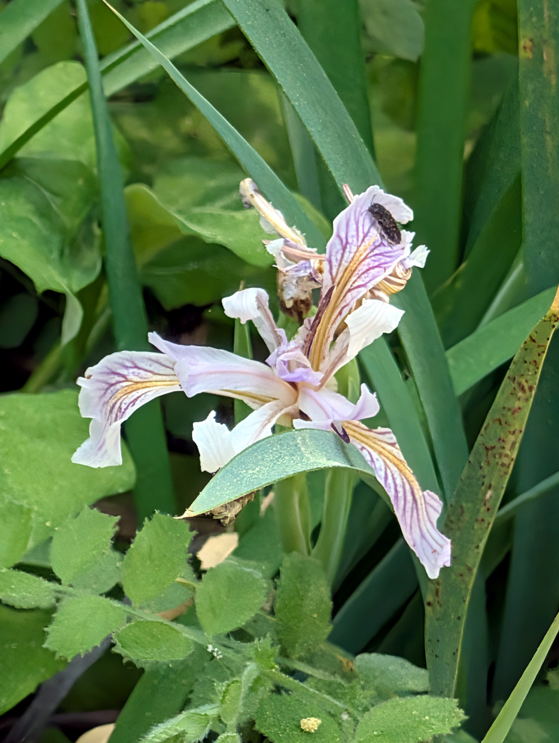
| Wild iris | Some kind of lily |
|
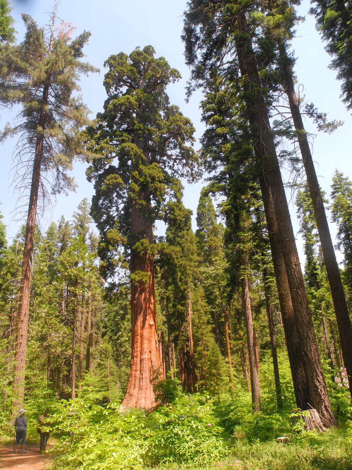
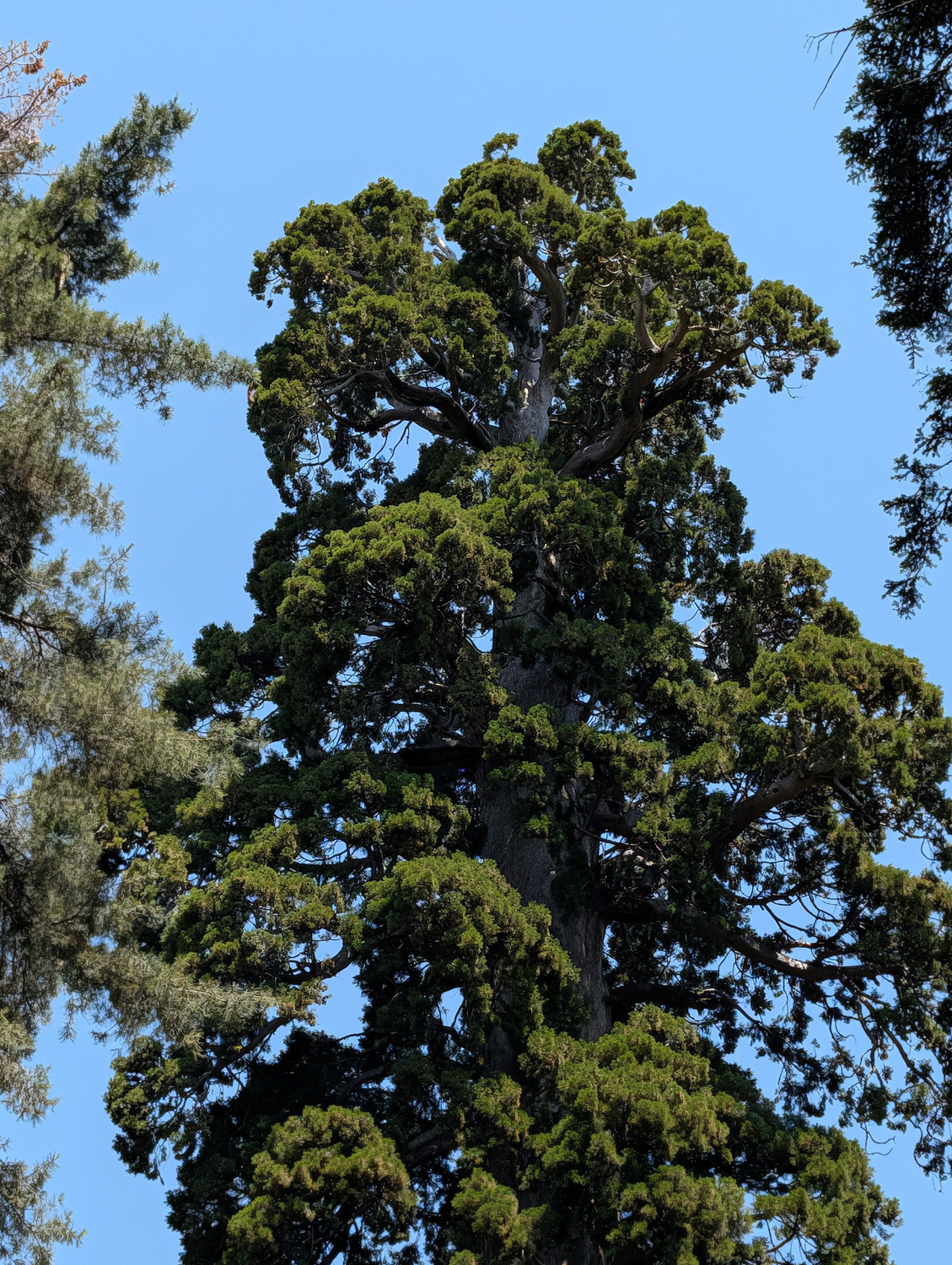
Meanwhile, most of the rest of our group, arriving a bit later, parked in the same spot and walked up the quarter mile trail to the Bull Buck. This route was once a drivable road, but except for the first few dozen yards, has been reclaimed by the forest, and looks like just a nice trail. They reached the Bull Buck a short time after my group, and we spent a good amount of time admiring this magnificent tree, which has no giant neighbors, but supervises a number of young sequoias, identifiable by their pointed tops. The Bull Buck itself is as close to perfect as any sequoia I've seen. The base is flared out uniformly all around, it has no burn scars, and has a green, rounded top without the dead top branches that are common to many of its fellows. I first saw it about 1970, and have photographed my daughters, grandsons and great grandsons by it when they were kids. I never get tired of visiting it. In those early years you had to stand near he tree and tilt your head waaaaaaaay back to try to see the entire trunk, but a former campground host and retired ranger, John Hawksworth, arranged for the clearing of a section of land about 200 feet out from the tree, making it possible to comfortably view it from top to bottom. There's even one of my favorite things, a resting bench. |
|
 |
 |
| Bull Buck from the viewing bench | The thick green top of the Bull Buck |
 |
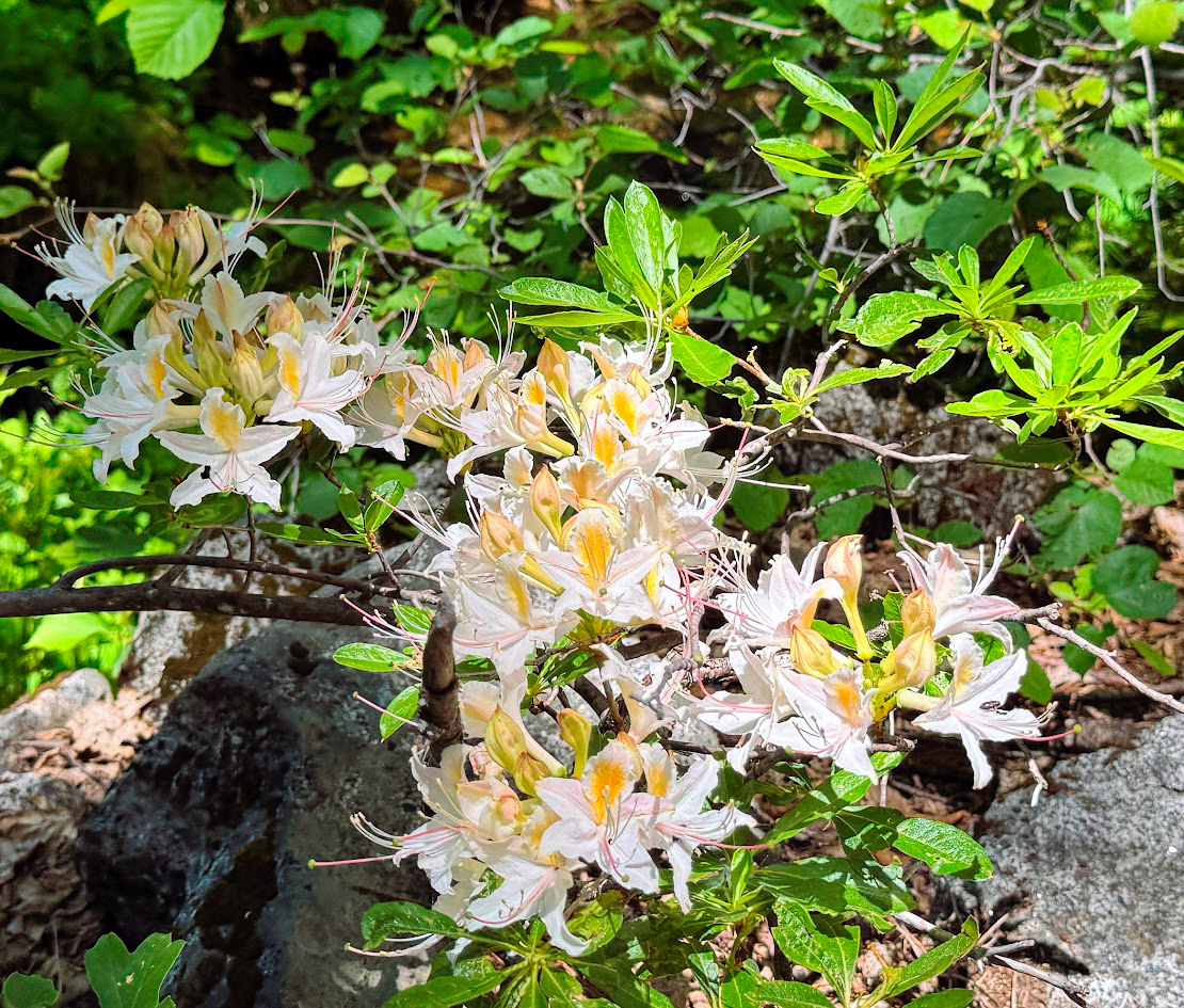 |
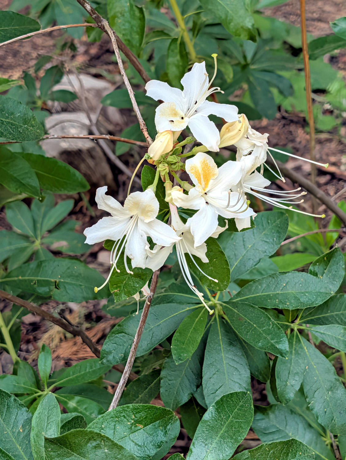
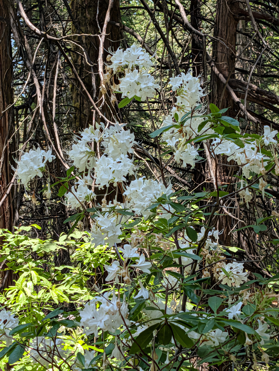
| Young sequoia is recognizable by its pointed top | Western azalea were in bloom all over the grove |
|
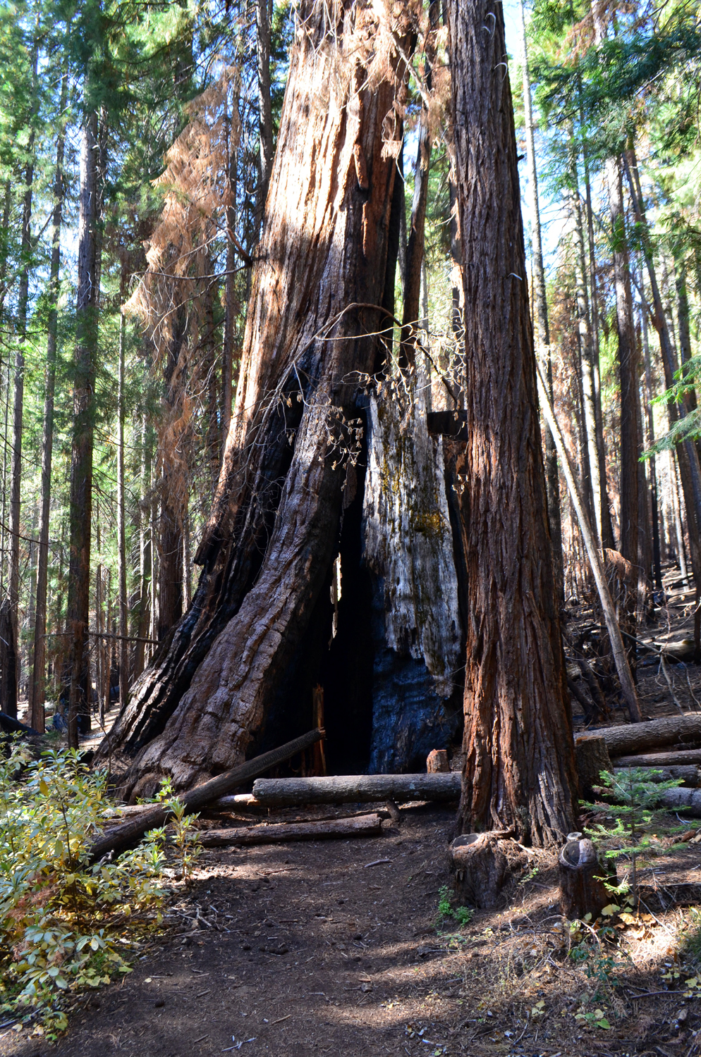
When we were ready to say goodbye to this forest giant, we split into two groups. The more ambitious hikers took the Chimney Tree Trail, which leaves the quarter mile trail a hundred yards or so from the Bull Buck, and makes a one-mile loop that goes more or less parallel to Nelder Creek, crosses on a small wooden bridge, and heads back out to the road into the campground. Along the way there are several giant sequoias, including the mind-boggling Chimney Tree. It is burned out inside and you can look up through it to the sky, but it still lives and thrives. These trees are famous for being hard to kill! |
|
 |
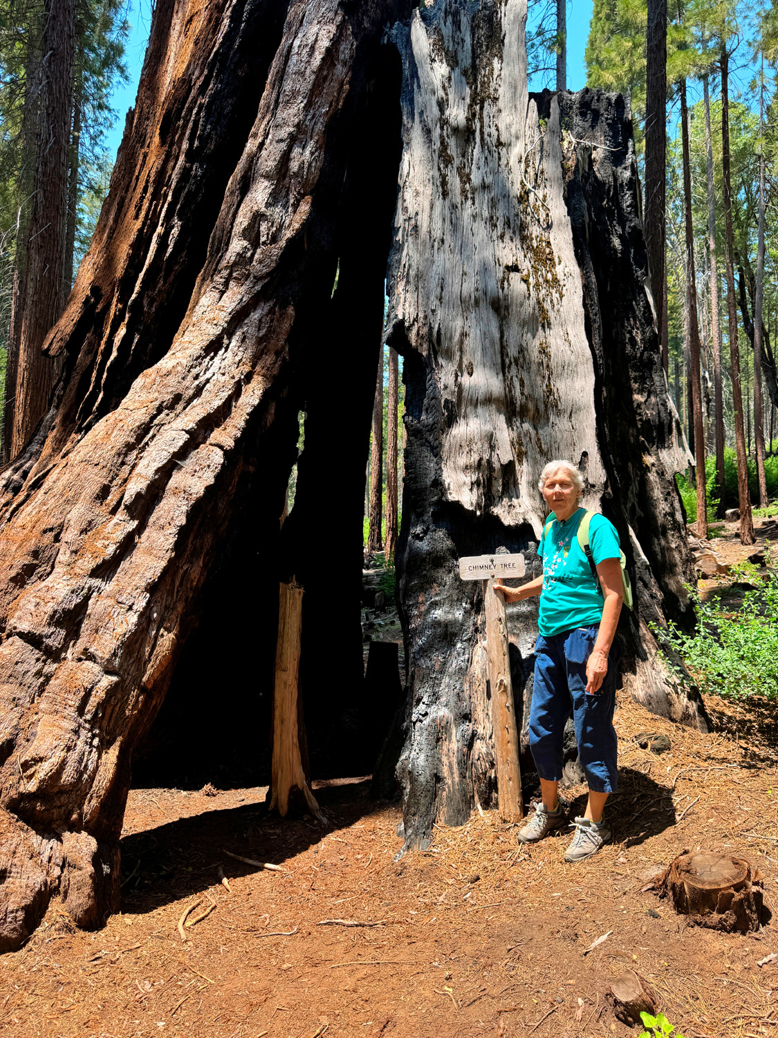 |
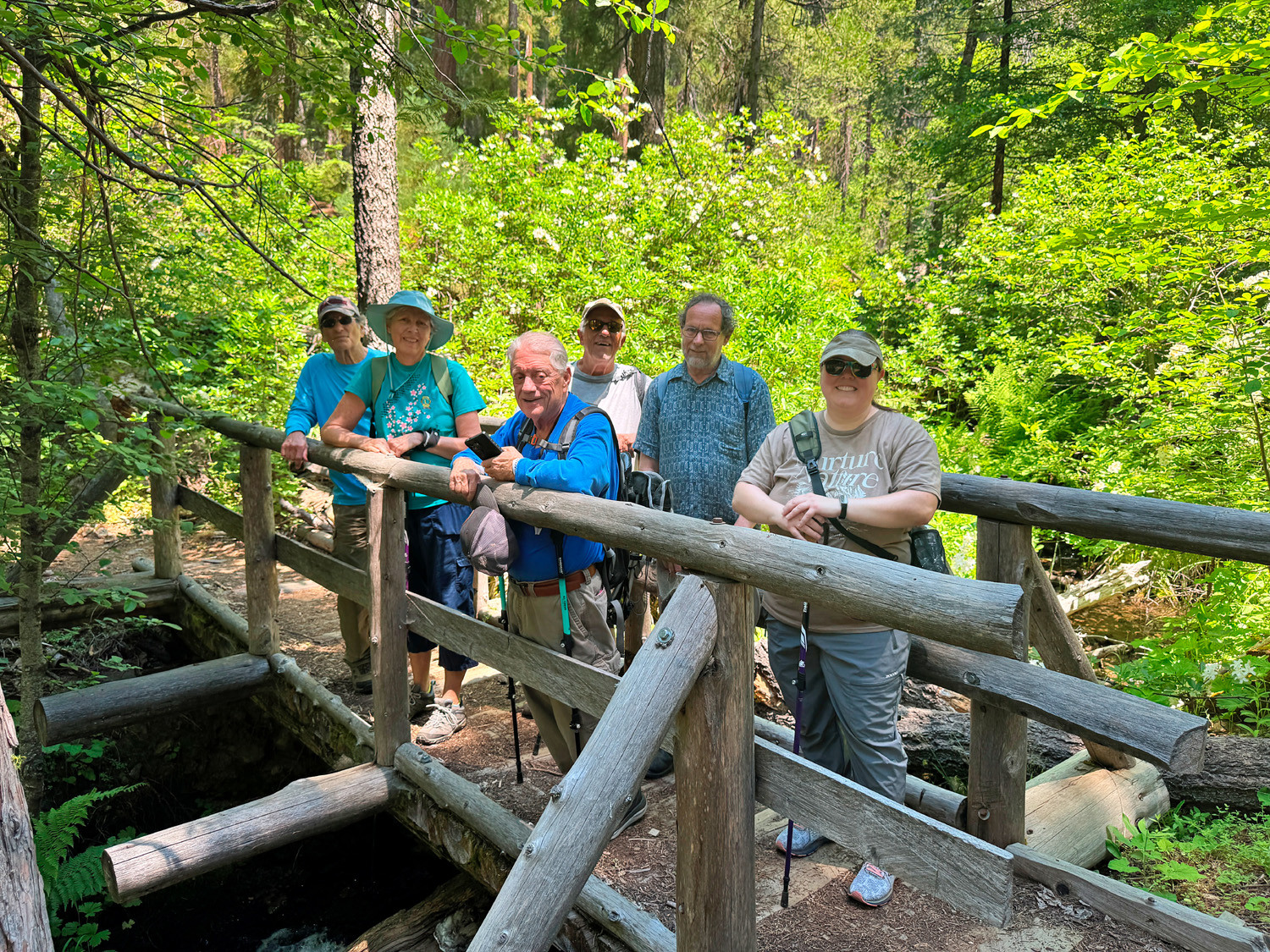
| Some Ramblers on the Chimney Tree Trail's California Creek bridge | Making her first visit, Vickie was impressed with the Chimney Tree |
|
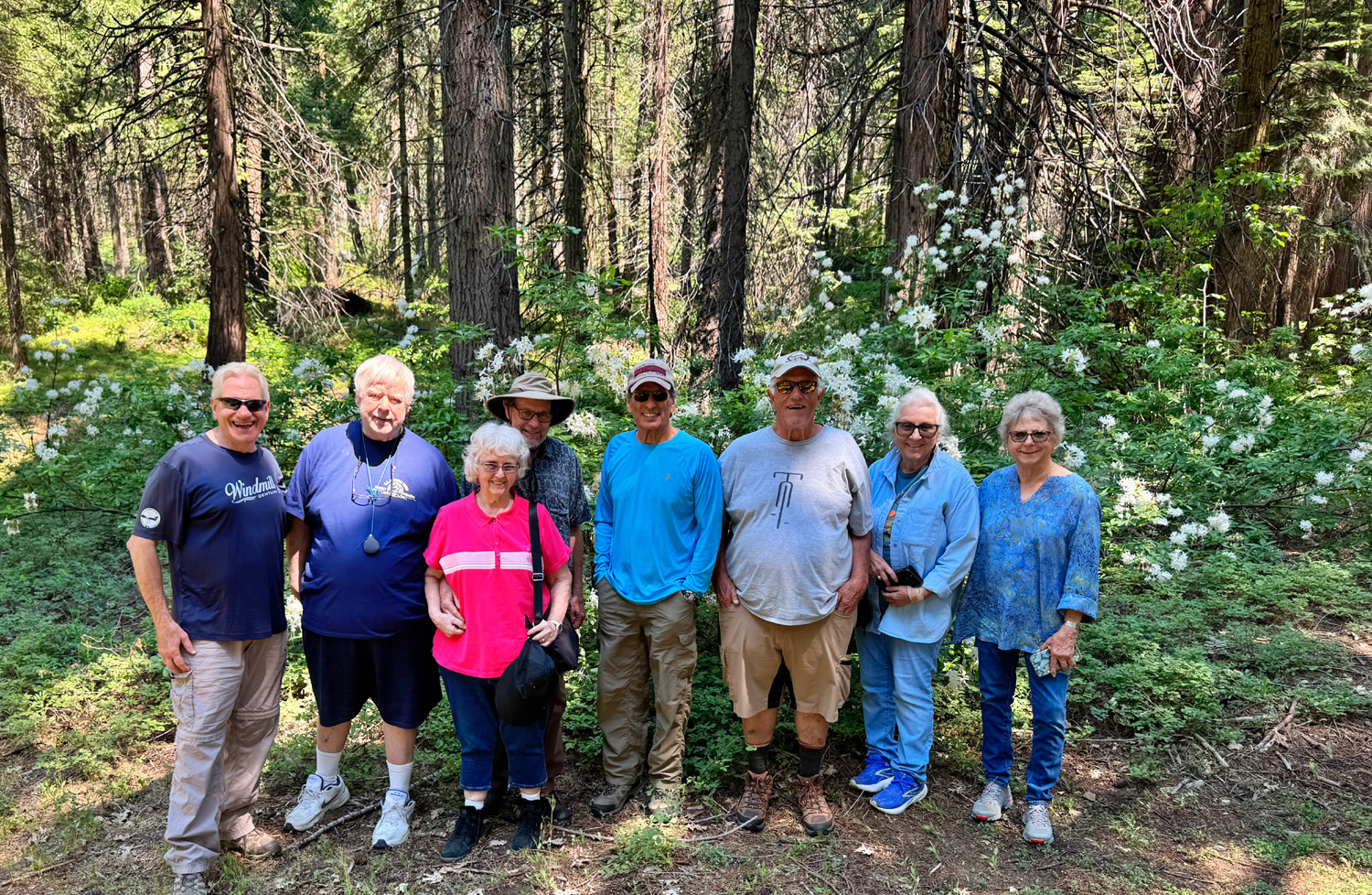
Once the long distance hikers returned and we were all re-united at the campground, we drove down the hill to Oakhurst and our favorite lunch spot, El Cid Mexican Restaurant. We had a total of 16 hikers, with 14 for lunch: Jackie Taggart, Jennifer Neely, Don Bandoni, Don McClellan, Beth & Keith Sohm, Dave Smith, Megan Smith, Bruce Vasquez, Bruce Nieman, Susan Silveira, Laurie Fitzgerald, Wes Thiessen, Dick Estel, Teri Liddle and Vickie Klassen. Bruce N disappeared after we started out of the grove and Vickie had another engagement. |
|
 |
 |
| Everyone but non-hiker Dave near the Bull Buck | It will take more than two people to measure this tree |
|
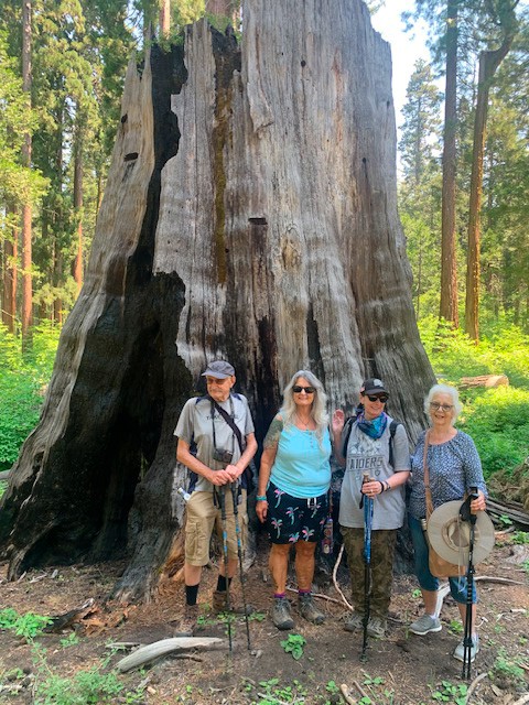
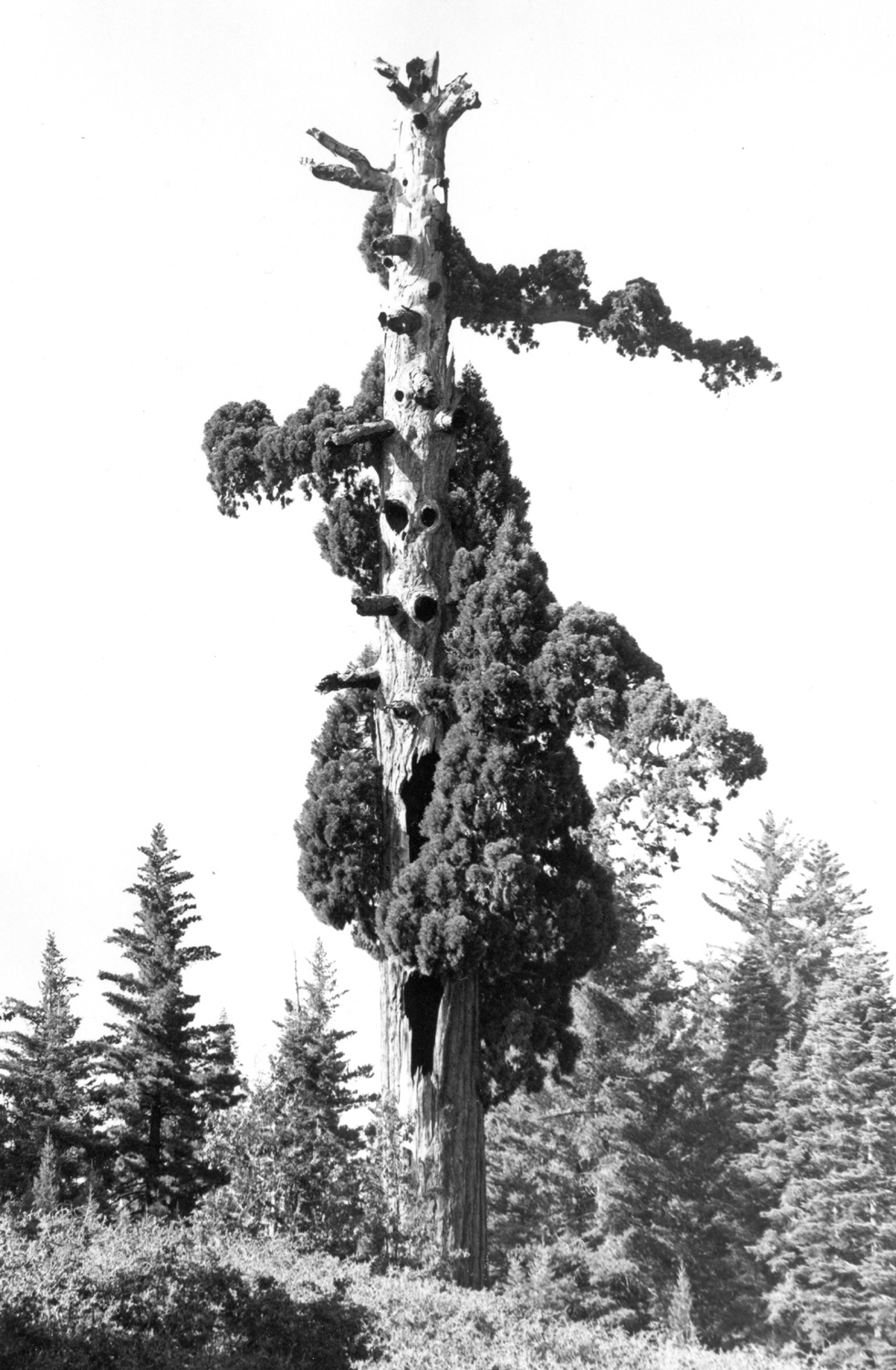
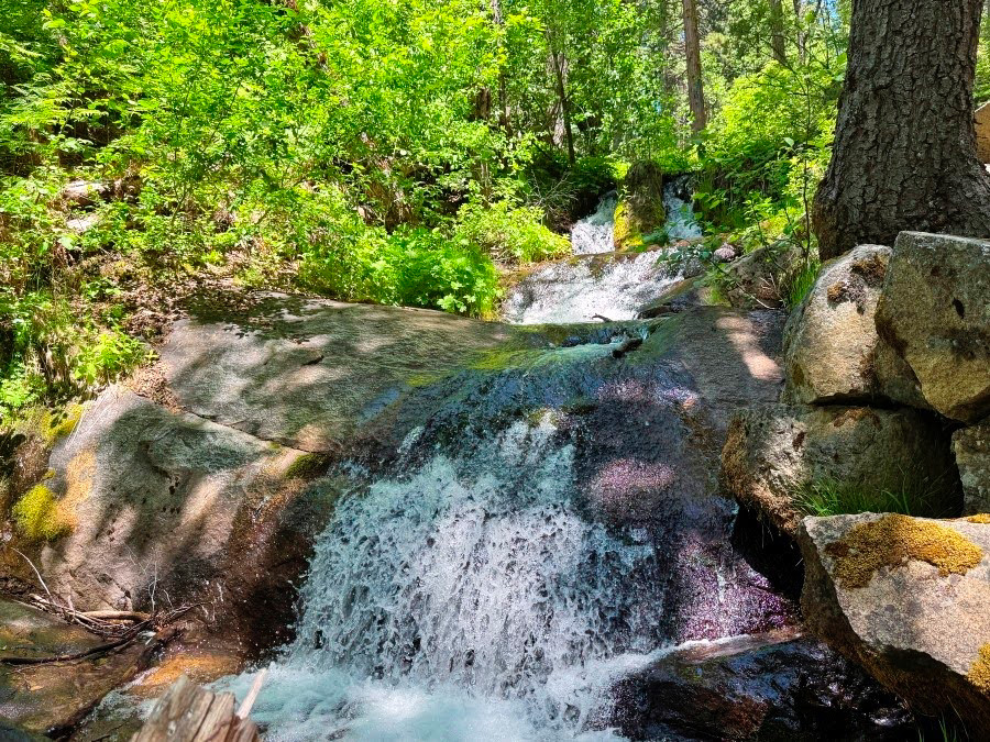
If the Bull Buck is more or less alone, where are the other big trees? There are about a half dozen along the mile-long Chimney Trail loop. There's another lonely specimen, the Big Ed, near the lower end of the campground, just across California Creek. A short trail leads from the interpretive center to a good view of this tree. At the Chimney Tree trailhead, the Graveyard of the Giants Trail, once a drivable road, leads up hill about a half mile, crosses Nelder Creek, continues to climb and then levels out and curves around the other side of the ridge. Along this trail there are at least a half dozen sequoias, including the most dramatic one in the grove, the Old Granddad. The bulk of the trees are found in Nelder Basin and along Nelder Creek. A mile or so west of the campground, the Shadow of the Giants Trail goes up from the road along Nelder Creek and back down the other side, but it's permanently closed. More trees appear along the creek above the bridge crossing, and still more in Nelder Basin, above where the creek crosses the Graveyard trail. It's an easy walk up this route to Nelder Creek, but it's a major challenge to walk up the creek where there is no trail. If you can get through you will be rewarded with views of a dozen or more giants. Click here to read about my hike into this area in 2018 and here for a visit I did with Wes in 2019. Big stumps throughout the grove testify to the foolish and ultimately unprofitable quest to harvest the majority of the grove's giant sequoias in the late 19th Century. According to Brenda, after the logging stopped there were a little over 100 big trees. Sadly, several recent fires have killed about 40 of them, including the Old Granddad. I'm just glad I got here in the 1960s and 70s and was able to photograph the grove as it was then. More explaining: "Brenda" is Brenda Negley, granddaughter of the Hawksworth's. When they were campground hosts she spent many summers in Nelder Grove as a child and teenager. She has written a book about the place (Nelder Grove of Giant Sequoias - A Granddaughter's Stories), and is surely the foremost expert on the history and current status of the area. The interpretive area has two pioneer cabins that were moved there from a nearby meadow, and recreations of a section of log flume, "bed" constructed to cushion the fall of these giants, and other related artifacts. There is also a magnificent topographical map that shows every big tree in the grove (pre-fires), but it was not out on display when we visited. At the risk of sounding like an old grandpa (which I am) ranting about the good old days, I have seen many changes in this area, some good, many not. As I mentioned, there were roads into nice areas that have now become trails, and fire has done a serious number on the grove. On the other hand, when we first visited in 1969, the growth of small trees such as pine, cedar and fir blocked the view of much of the terrain along the road into the camp, and the Forest Service did a good job of thinning to allow more open views. It needs to be done again. One last note: Do not believe every word you read in the various web pages linked from this site (including my own); there are are number of inaccuracies. For example, the Bull Buck is NOT the third largest in the Sierra; it ranks in the top 20. It IS the third largest in Nelder Grove. This does not detract from its near perfection. As you may have noticed, I can go on and on about Nelder Grove, but I'll shut up for now. If you can stand more, you'll find it here and here. --Dick Estel, June 2026 |
|

| Photos (Click to enlarge; pictures open in new window) | ||
| Ahwahnee Hills Regional Park River West Nelder Grove | ||
| Ahwahnee
Hills Regional Park (Photos by Wes, Susan & Andy, Dave and Don B) |
||
 |
 |
|
| A nice view of the barn | The
park's next door neighbor is an elementary school |
There
are a lot of fallen trees and branches in the park |
 |
|
 |
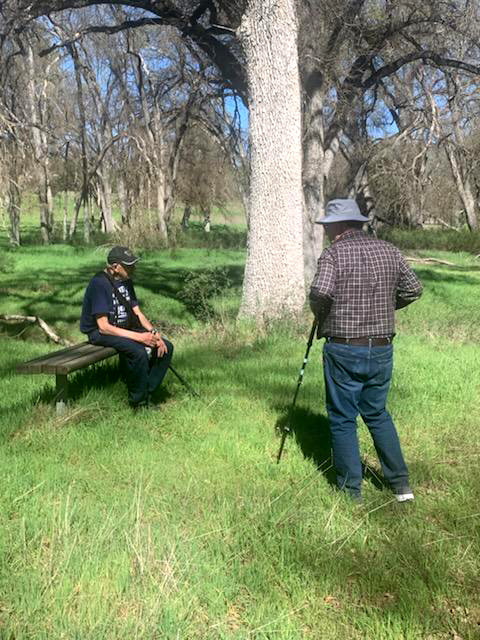
| Dick
catches up with Allen while enjoying one of the many benches |
Andy did
some engineering work on some of the bridges in the park |
Laurie, out for a stroll |
 |
 |
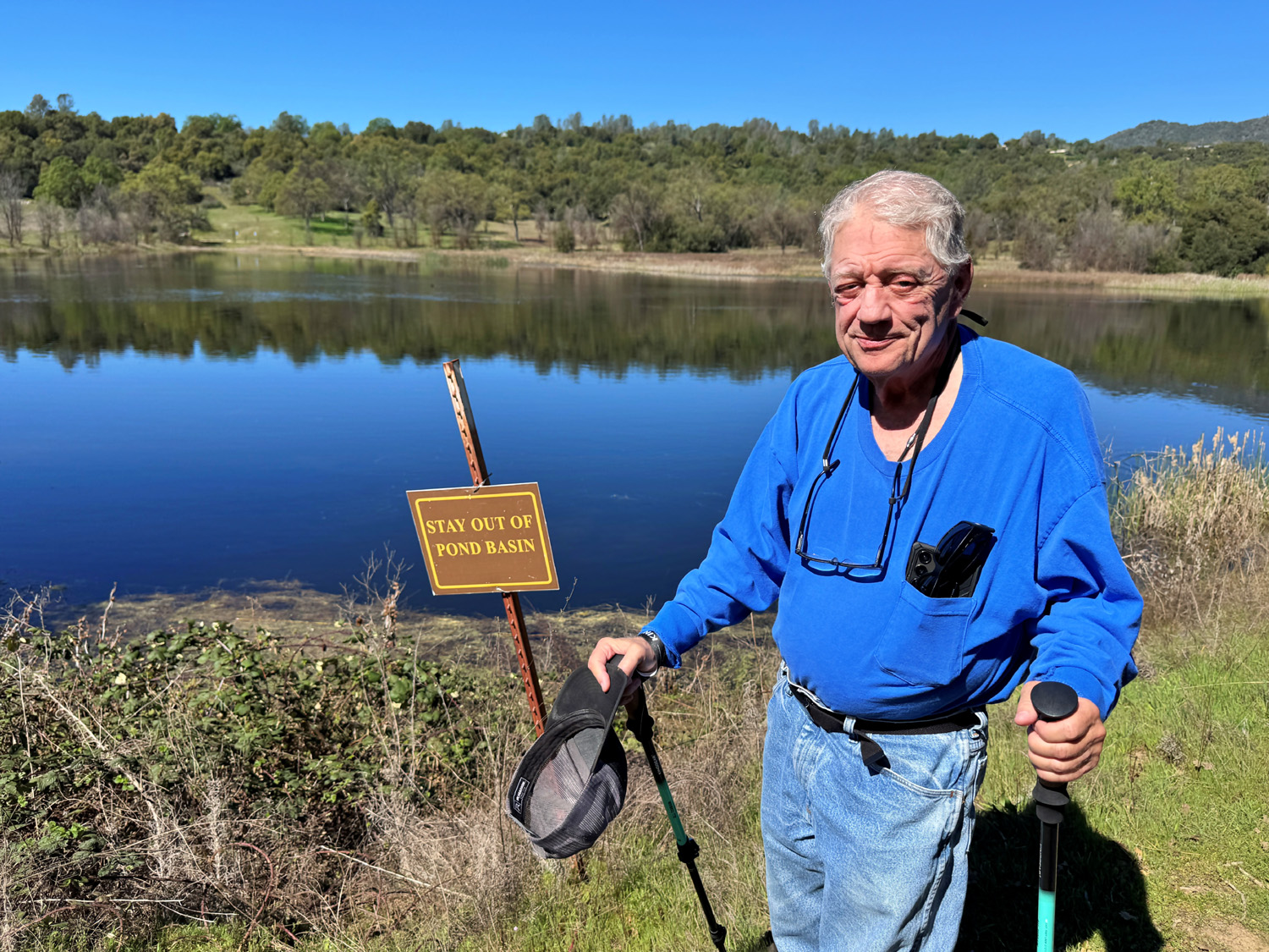 |
| Susan and Andy at the pond | Geese and other birds enjoy the pond | Don was careful to obey this sign |
| River
West (Photos by Wes and Dick) |
||
|
 |
 |
| A peaceful scene | Lots of yellow flowers on those plants | Keith, Dick and Bruce N |
 |
|
 |
| Rambling on the trail | Wes brought a lightweight stool so Dick could rest | The Ramblers did NOT take this shortcut |
 |
||
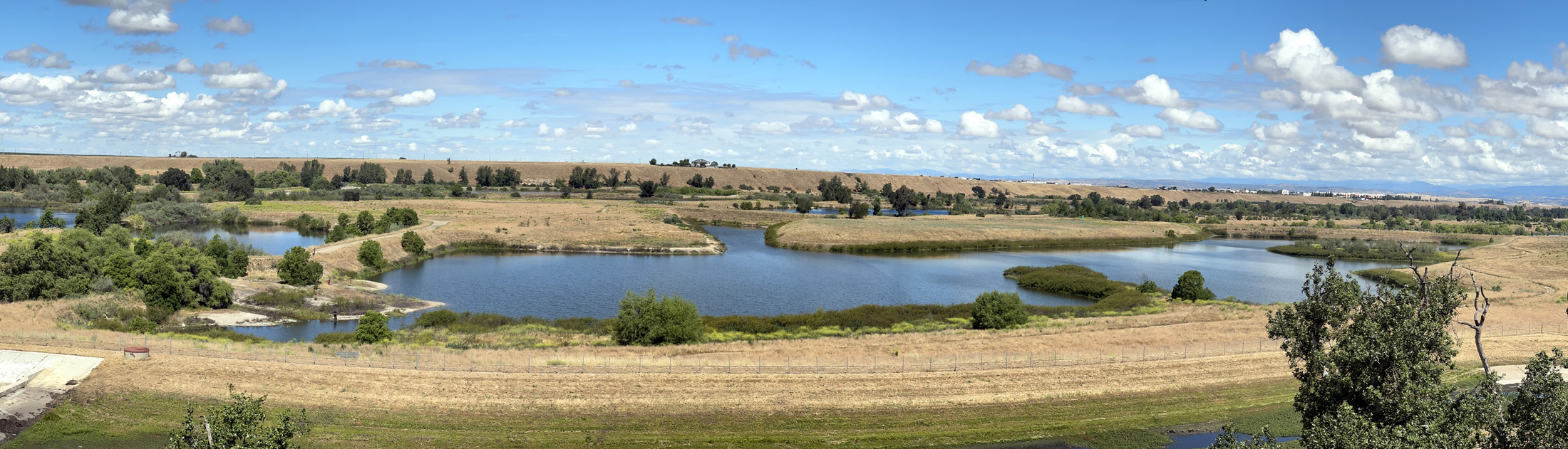
| This impressive panorama shows what was saved when the River Conservancy bought the property | ||
| Nelder Grove | ||
 |
|
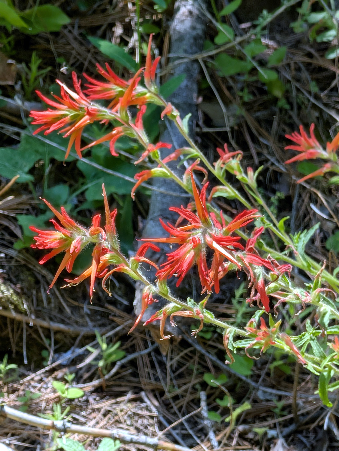 |
| Western azalea were blooming all over the grove | Indian paint brush | |
 |
 |
 |
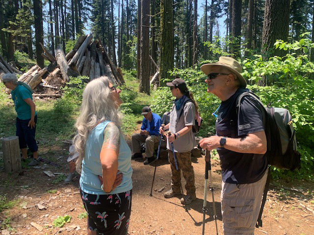
| Looks like a serious meeting of some kind | Teri and Wes at the Bull Buck vista | Wes and Vickie |
 |
 |
 |
| Bruce N won the award for most colorful shorts | Beth and Susan | Susan and Bruce V |
 |
 |
|
| It was Jackie's first hike since August 2025 | And Vickie's first since May 2025 | Susan, Beth and Laurie |
 |
 |
 |
| Megan, azalea, and a big redwood | Wes,
Dave, Beth, Keith, Bruce V, Don B, Susan and Laurie |
Along the Chimney Tree Trail |
 |
 |
 |
| A little waterfall on California Creek | We call them "daisy-like" | Cascade on the creek |
| Related Links | ||
| Ahwahnee Hills Regional Park | Dave's Ahwahnee Hills Photos | Mountain Oaks Cafe |
| Ahwahnee | Oakhurst | The Sanitarium (fact & fiction) |
| San Joaquin River Trail | San Joaquin River Gorge | Ithurial's Spear (not the flower) |
| River West | Spano Park | Silverleaf Nightshade |
| Dave's Nelder Photos | Nelder Stories from Sierra News | Dick's First Nelder Grove Essay |
| Nelder on Wikipedia | Nelder Grove | Bull Buck Tree |
| El Cid Mexican Restaurant | ||