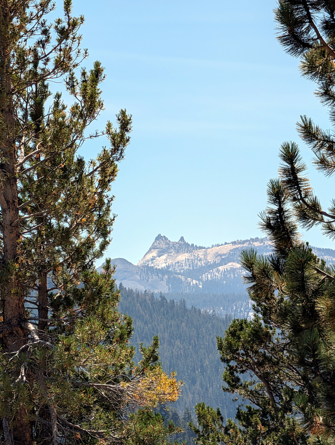
|
Dick's Adventures of 2026 - Part 3 |
|
| Photos Related Links More Travel Reports | |
| Adventures
of 2016 Adventures
of 2017 Adventures
of 2018 Adventures
of 2019 Adventures
of 2020
Adventures of 2021 Adventures of 2022 Adventures of 2023 Adventures of 2024 |
|
| Cabin Days & Kaiser Pass Nelder IV | |
| Mile
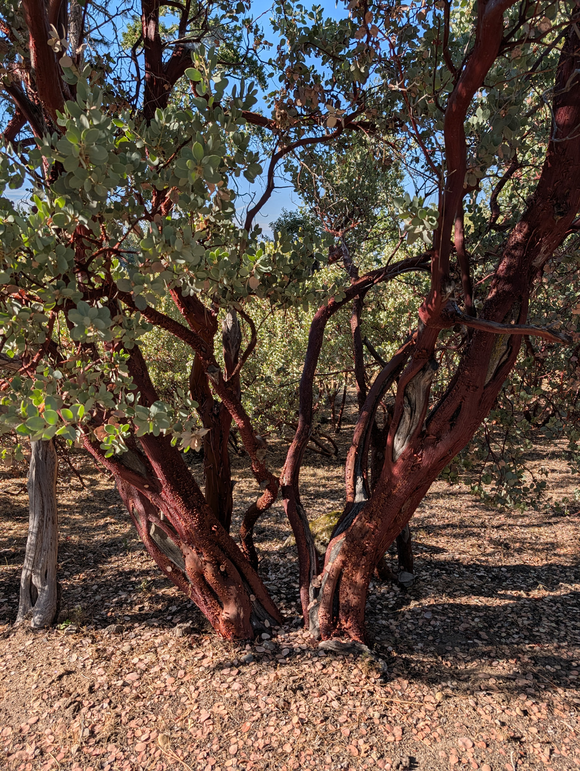
High Cabin and Kaiser Pass I've followed the old man's footprints. I've walked in the footprints of John Muir. On September 2 I set out to follow the footprints of Lew and Dick. All these footprints were made decades ago, and over a century in the case of Muir. Any actual footprints are long gone. But the route I followed with my friend Lew Koch in the late 1960's was still clear in my mind. A bit of explanation is in order here. In the late 20th Century I was visiting Nelder Grove with my daughter Jennifer and her husband Rod. We had driven up what is now the Graveyard of the Giants Trail to where Nelder Creek crosses the road, and into an area with many large sequoias that is known as Nelder Basin. The road continued on, winding around the mountain to the highest part of the grove, where you find the Old Granddad Tree and several others. I had previously gone cross-country from the Basin up to the Graveyard by an ill-chosen route that found me bush-whacking through a thick patch of chaparral, but I had seen an elderly gentleman go up the hill from the Basin in a different direction. I reasoned that I could go that way, following a barely visible route that was probably an old logging road, and connect with another old road that led out past the Granddad to the main road. We accomplished this more or less. It was not a great route, but better than being surrounded by an acre of chaparral, and I took some teasing from my young companions about following the wrong old man. As to John Muir, he went everywhere in the Sierra, so anywhere you go, he was there before you. Lew was working at KJEO-TV when I started there in 1966, and we soon started hiking together. One of our hikes was from the top of Kaiser Pass, in a westerly direction. It was not an official trail, but my memory was that it was fairly easy going. It had snowed, and in the morning we walked across big fields of crusted-over snow. Coming back in the afternoon the snow had softened, and we had to go around those patches. But first, the cabin. This is actually a very nice A-Frame in a small development called Mile High, about three miles down Auberry Road from State Highway 168. With approval from Grandson Johnny & Brittany to spend two nights, I drove up on Tuesday, September 1, and just stayed around the cabin that day. There are some good opportunities for nice walks here. First I walked past the cabin up Bald Mountain Road to where it started down hill, something I had wanted to do but never had before. Later I walked the loop we call the Horseshoe, that leaves Bald Mountain a little above the cabin and rejoins it a little below. There are a number of houses along the way, as well as ponderosa and sugar pines, incense cedar, and seemingly acres of manzanita. |
|
 |
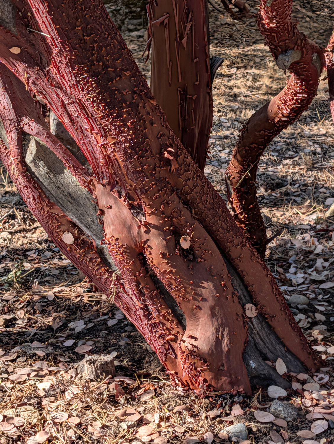 |
| Manzanita along the loop from Bald Mountain Road | As fall approaches, the bark begins to peel off |
|
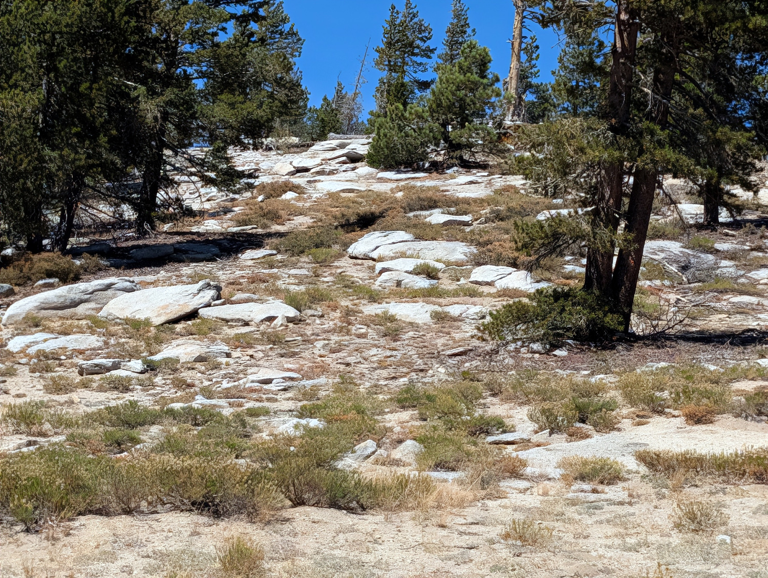
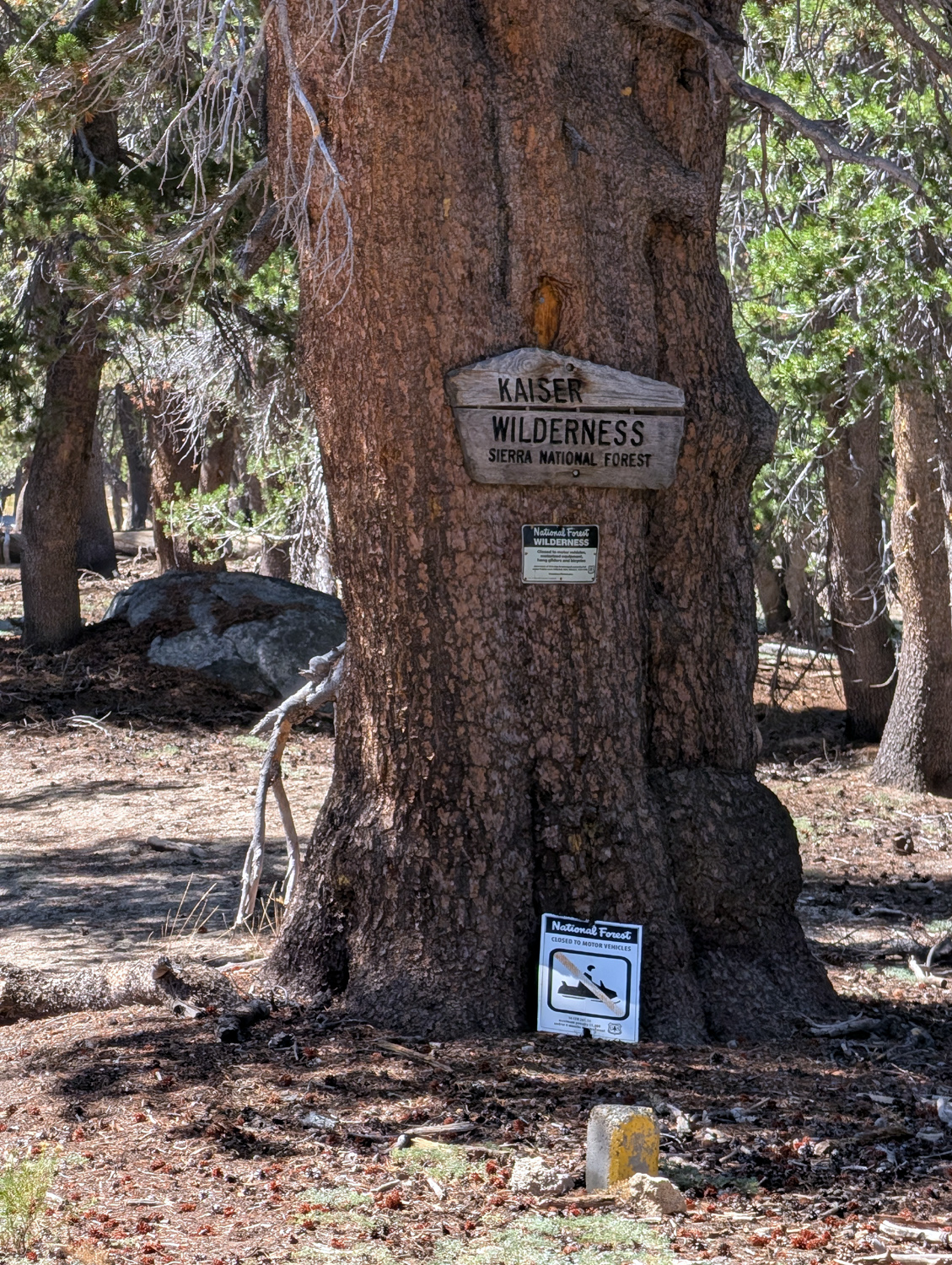
After breakfast Wednesday I drove out to the highway, up to Shaver Lake and beyond to Huntington Lake. Here the road starts a climb from 7,000 feet to the pass at 9,000 feet. A dirt road on the south side goes up to White Bark Vista where you have a magnificent view of the high Sierra, including the Silver Divide and the Ritter Range. I've been up that road many times, but it is very rough and I will not take my 2024 CR-V hybrid on it. Instead I walked up hill on the opposite side of the main road, as Lew and I had done more than 50 years earlier. In about 100 yards I entered the Kaiser Wilderness, and in about a quarter mile I had hiked above the trees blocking the view and had a vista of mountain peaks in three directions. I observed a rock-covered slope above me, steeper than the terrain I had already navigated. Since I had gone past that spot in the past, I decided I did not have to do it again, and rested on a somewhat comfortable boulder. In addition to a few wild flowers, I was surrounded by high elevation trees - lodgepole pine, fir and white bark pine. |
|
|
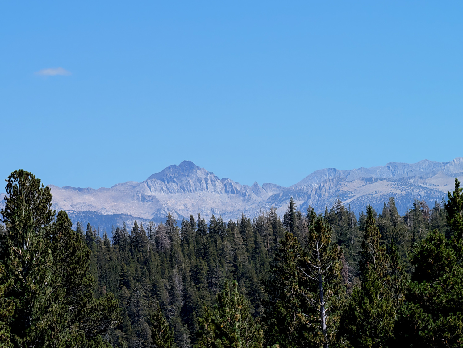 |
| Vista to the south from above Kaiser Pass | Looking east |
 |
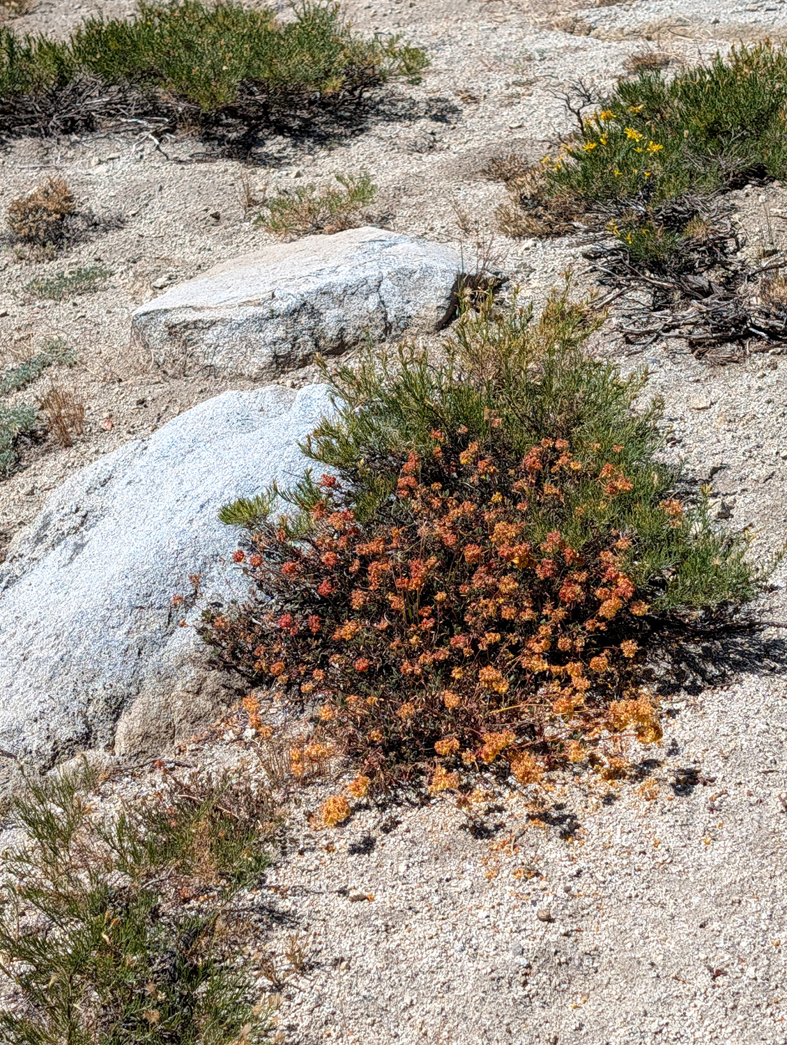 |
| Here's where the terrain became steeper | These
dry-looking blossoms change from yellow to orange as summer progresses |
|
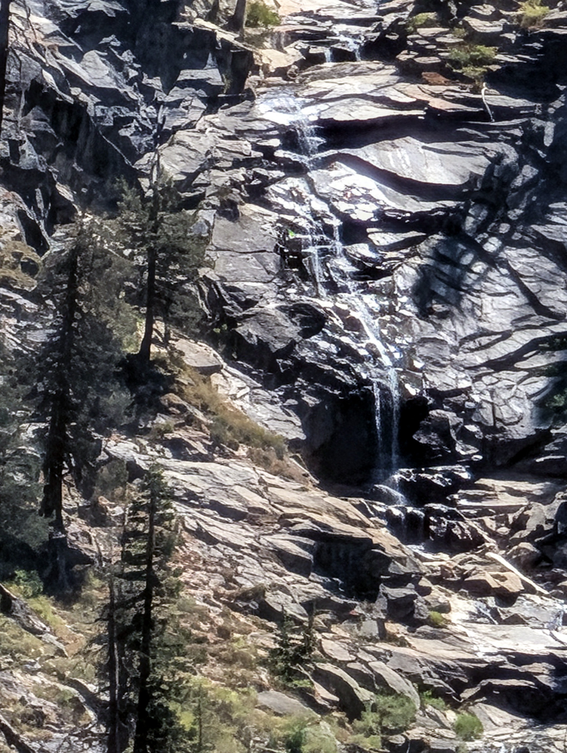
After enjoying the view and the surroundings for a while, I stared back down. Since there was no trail, I was careful not to veer off to one side or another of what I thought was the correct route, and I was happy and relieved to find myself back by the Kaiser Wilderness Sign. From here it was a short distance down to where I was parked, and I was soon heading back to the cabin. I'm not sure if I have ever reported anything about the road up to the pass. It's about seven miles from the lake to the pass. The first half of the road is a smooth, well-maintained road with a center line. The second half is narrow and winding with no center line, and many places where one car must pull off to let the other pass when two vehicle meet. When I originally went up this road in the 1960s, the entire seven miles was like that, and beyond the pass it is no better and often worse It's about 20 miles from the pass to either Edison Lake or Florence Lake, both of which are part of the hydroelectric projects that were built in the 1920s. Along the good part of the road, two or three miles up form Huntington, there is a view of Rancheria Falls, where we've hiked a number of times. It's some distance away across the canyon and the water is so low it's not obvious from the vista point that in the right season it is a magnificent falls. Near Kaiser Pass I saw one deer, and at the cabin the second day a hawk was screeching from the trees, but I could not see him. |
|
|
|
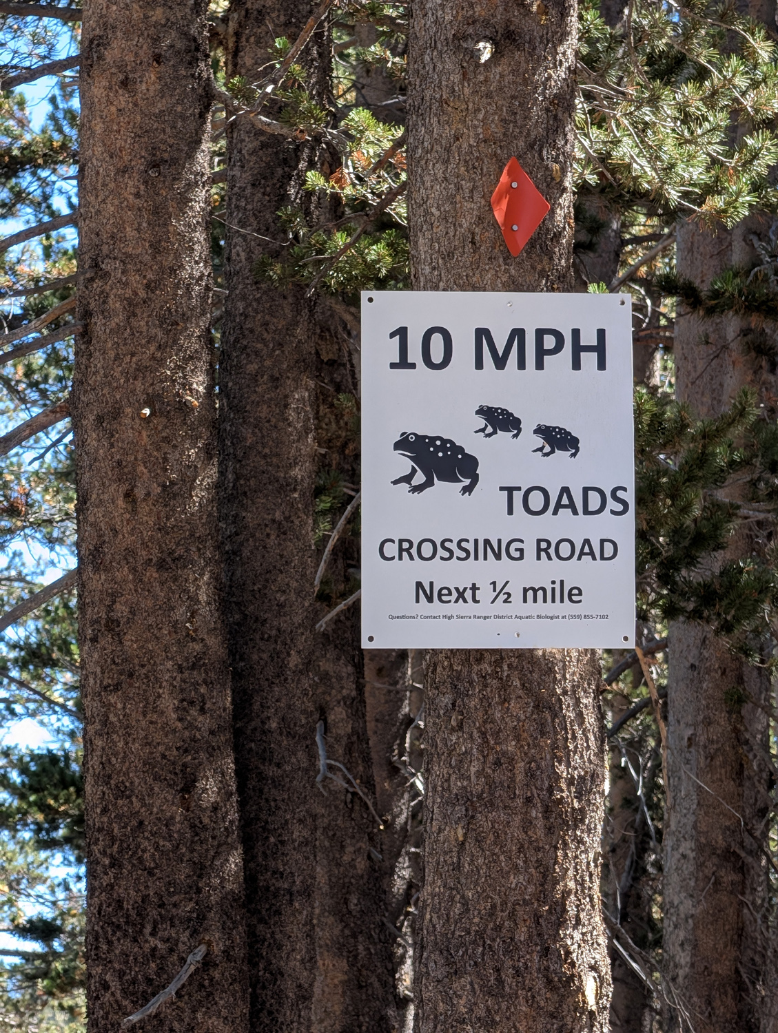
| View of Rancheria Falls at low water | An unexpected sign at the pass |
|
Back at the cabin I walked the loop again. At one point there is a view of the Ritter Range (Mt. Ritter and Banner Peak) and Fuller Buttes, The buttes were barely visible, and the mountains were completely obscured by haze. These conditions prevailed both times I walked the loop, although as I left to drive home Thursday, it was a bit clearer. On the second day's walk, I saw a garbage can that had been tipped over on its side, a common occurrence when humans move into bear country. However, I did not think this was done by bears, because there was a plastic bag on the ground that had not been torn open. No self-respecting bear would fail to investigate such a potential treasure. At all times it was cool and sometimes breezy enough to wear a long-sleeve flannel shirt outside. I sat out on the deck reading each day, enjoying tea or a lime rickey. In bed at night I wore a hooded sweatshirt. I had spent two nights at the cabin August 12 and 13, the peak time for the Perseids meteor shower. Although I sat outside for a half hour or so when it was fully dark, and again about 3 a.m., I did not see a single meteor. I hoped there might be some make-ups during my September visit, but no such luck. The August date was the night of the new moon, so I had a fantastic star view even without meteors. In September the moon was about half full, so the first part of the night was very dark. As the moon came into view, it was bright enough that I was comfortable walking on the deck with no light on. |
|
|
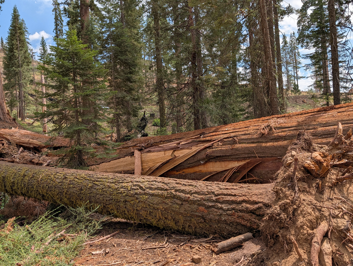
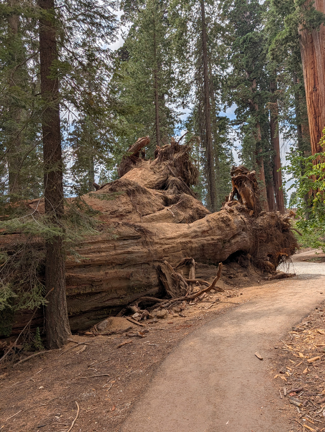
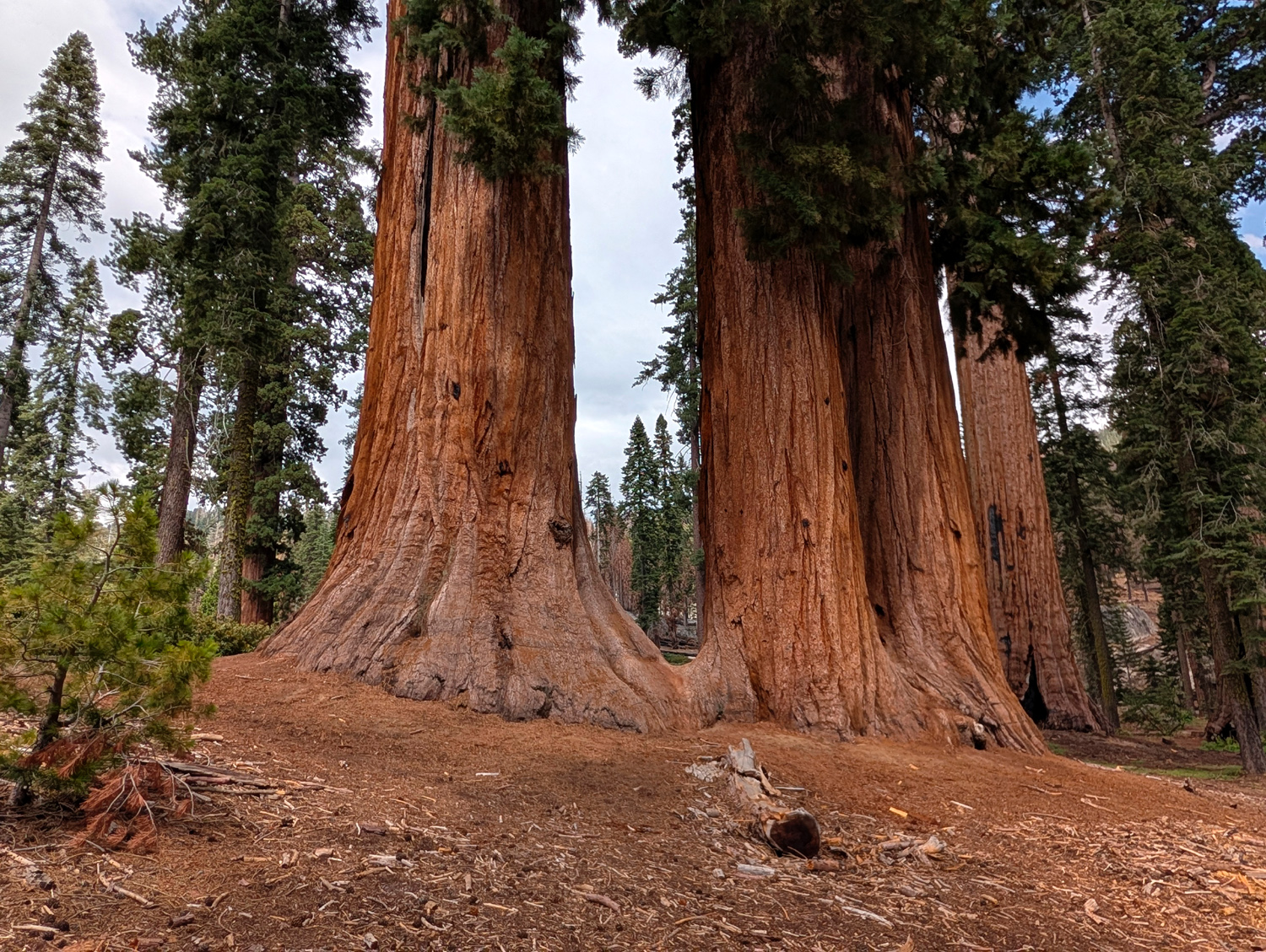
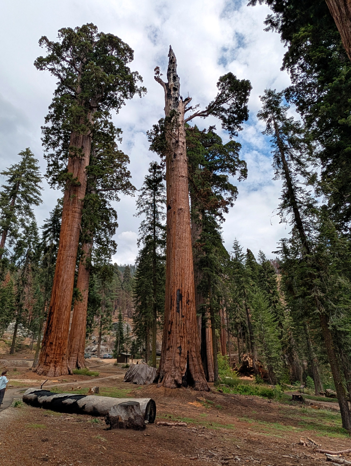
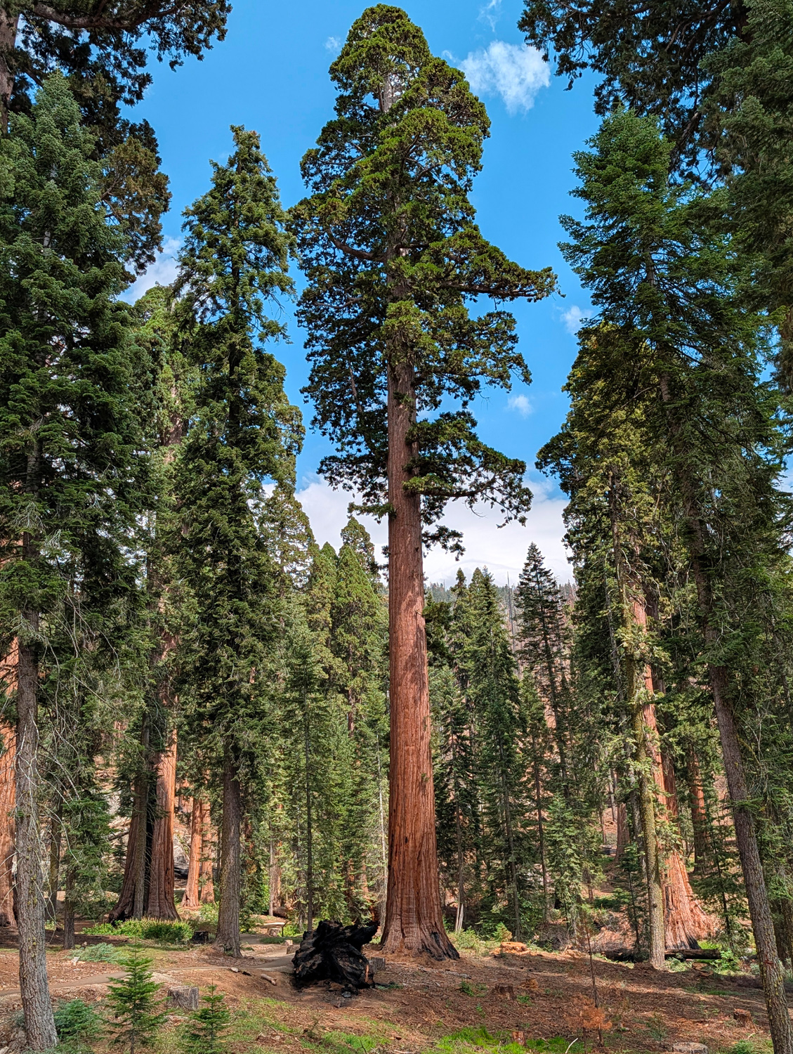
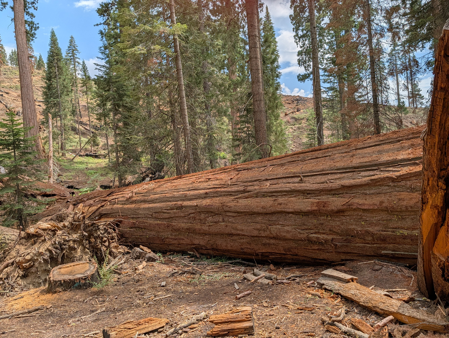
During my August stay at the cabin I drove up to McKinley Grove, a sequoia grove a few miles out beyond Dinkey Creek. The grove was threatened by the Garnet Fire in 2025, but did not sustain any serious damage. Some time in the last year or so one giant fell, but I don't know if the fire had anything to do with this. The force of the fall knocked strips of bark off the tree down to the bare wood, but the bulk of the tree will remain on the ground indefinitely, part of the natural life-cycle of these amazing plants. |
|
|
|
|
The force of this giant falling knocked strips of bark loose down to the bare wood |
The roots of the tree stretch up about 15 feet |
|
Some temperature observations during my time at the cabin in September: 9/1 5:30 p.m. 66o; 6:50 p.m. 57o; 9/2 midnight 42o; 9/3 4 a.m. 45o; 8:30 a.m. 55o. It was fairly cool at home, below 90 after a number of triple digit days, but it was a delight to be able to burrow down into a blanket in the cooler air at 4,700 feet. --Dick Estel, September 2026 |
|
|
Nelder IV
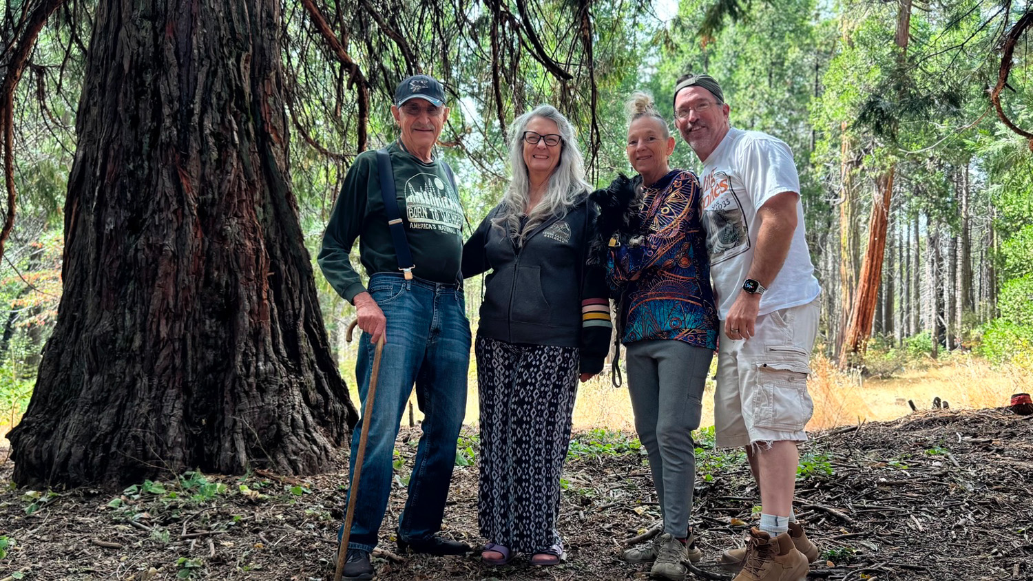
Yes, on September 27 I returned to Nelder Grove for the fourth time this year. It may seem like a lot, but keep in mind the fact that this charming little sequoia grove was closed most of the time the last three years or so. When it was open, the gate was still locked, so you could not drive in; visitors had to park outside the campground and walk a half mile, much of it uphill, to where we would normally park and start hikes or other activities. This left me with a lot of pent-up desire to visit this spot that I first discovered in 1969, when you could drive to many areas that now require a trail walk. Nelder is a small redwood grove, five miles as the crow flies south of the much more famous Mariposa Grove in Yosemite National Park. It was heavily logged in the late 1800's and early 1900's, leaving behind dozens of tall stumps. The Sierra redwood is not good for lumber due to a tendency of the trees to shatter when they fall. Most of the trees that were cut were used for fence posts, shingles, and similar products. In most cases only a small part of the tree was used, and sections of many giant logs still lie on the ground where they fell. By the time the grove was protected, there were just over 100 living large trees still standing. Severe fires in the last 15 years have apparently reduced that number to less than 70. Fellow adventurers on this outing included my older daughter Teri, two of her friends, Kara and Bobby, and Shadow, a little black dog who claimed Tara as his person. I had hiked and camped with both of them in the past, but it was their first ever visit to Nelder. We met at the Park & Ride at Highways 41 and 145 and rode to our destination in Teri's Toyota Highlander, which was able to navigate the few rough spots on the last unpaved three miles of the route. We stopped first at Deli Delicious in Oakhurst where we got sandwiches for our lunch, then continued the short distance up state route 41 to Sky Ranch Road. This narrow paved road enters the Sierra National Forest and climbs up quickly to around the 5,000 foot level (from 2,000 at Oakhurst). About 6.6 miles in you come to 6S47Y, a dirt road that crosses California Creek and leads to the Nelder Grove campground. We parked first at the interpretive center, where there are two old cabins, brought in from a meadow about three miles away, plus some artifacts demonstrating aspects of the logging operations that took place in the area in the late 1800's and early 20th Century. From here a100-yard path leads out to a top-to-bottom view of Big Ed, the first large sequoia visible in the campground area. Before this trail was carved out on the hillside across from the tree, a path led to the base, where trying to lean back to see the full height gave one the feeling he was going to fall backward. |
|

|

|
| Big stump, one of dozens in the grove, is as tall as this old cabin | The Big Ed |
|
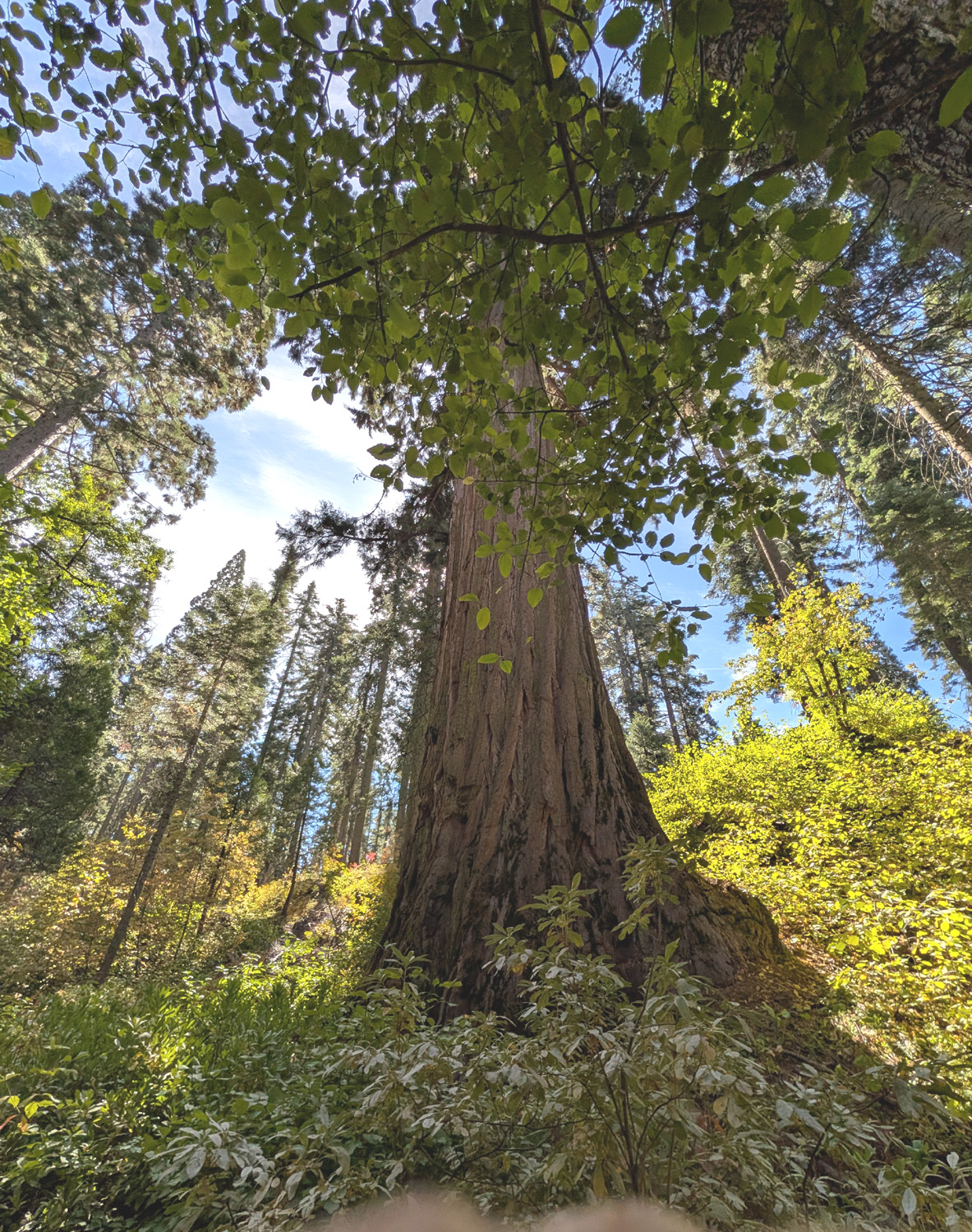
Next we we drove into the campground, parked near a picnic table, and "reserved" it by placing something on it. From this point there were two trails that led to the Bull Buck Tree and others we wanted to see. We took the shorter, 1/4 mile trail, which was once a drivable road that went past the Bull Buck and out to the main dirt road. A short distance from the campground we took a narrow unofficial trail to the left which led to the Mr. Bill tree, that I had visited on my previous trip to the grove in early August. This is a large sequoia with some holes chopped into it that reminded visitors of the hapless character from Saturday Night Live. On my previous visit I had a hard time seeing the resemblance, but the lighting was different this time and all of us agreed that it did indeed remind us of poor Mr. Bill. Teri had not gone to the tree in August, and of course it was all new for Kara and Bobby. |
|
|

|
| Base of Mr. Bill Tree | And here's Mr. Bill himself |
|
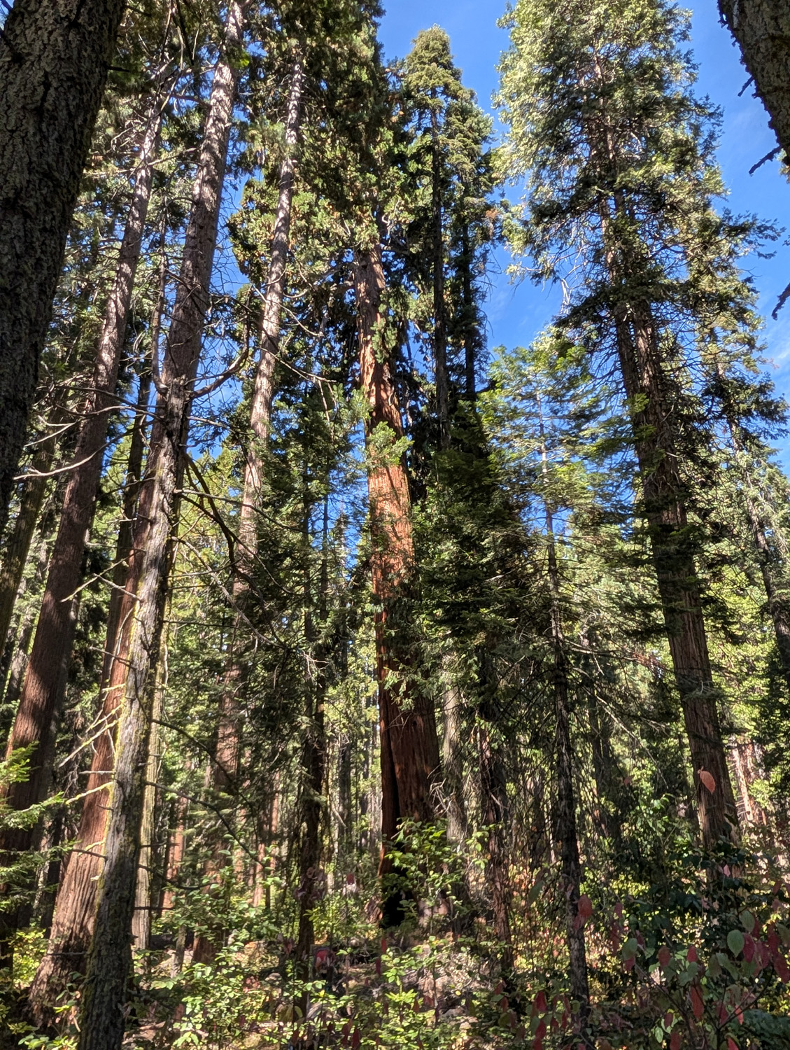
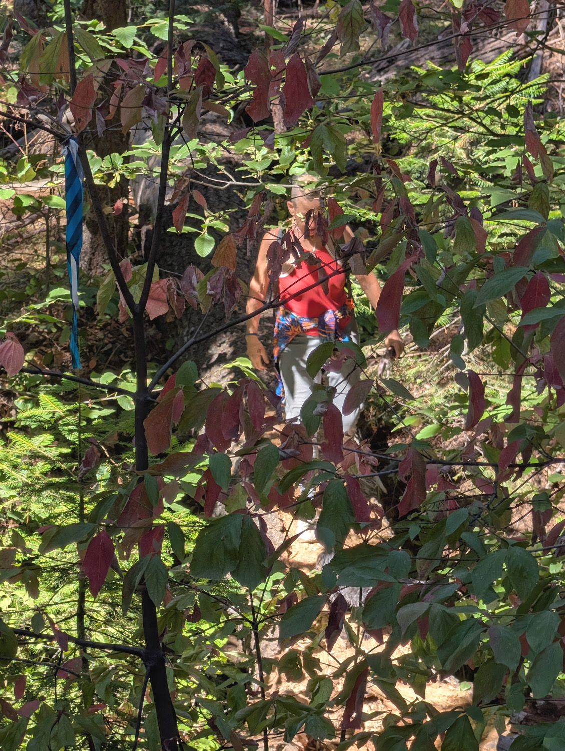
Our next stop was to see the Old Forester Tree, at 299 feet the tallest in the grove. When Walter Puhn retired in 1969 after a long career that concluded as Superintendent of the Sierra National Forest, his colleagues proposed naming the tree for him. He declined, instead suggesting the name that now honors all who have served in the National Forest. We walked a short distance on the Chimney Tree Trail to where the Forester was visible through the trees. The best view for most people is from the main trail, but in early August several members of our party (not me) went down through the brush from the Chimney trail and walked across a log over California Creek to get a good close view of the tree. This time most of us stayed on the trail, but Kara and her dog Shadow went down and part way across the log. |
|
|
|
| The Old Forester is visible through its lesser neighbors | Kara and Shadow returning from their close look at the Forester |
|
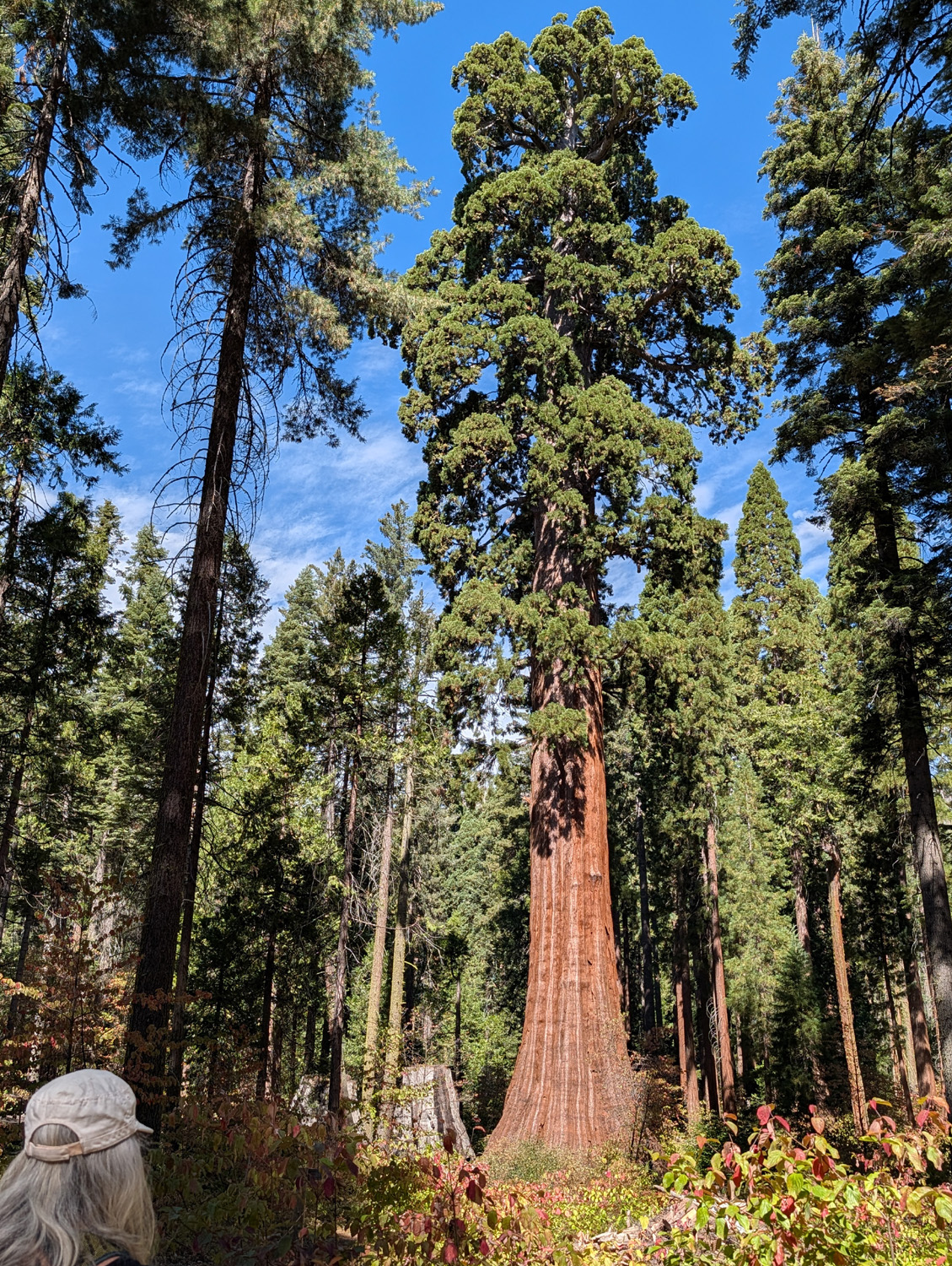
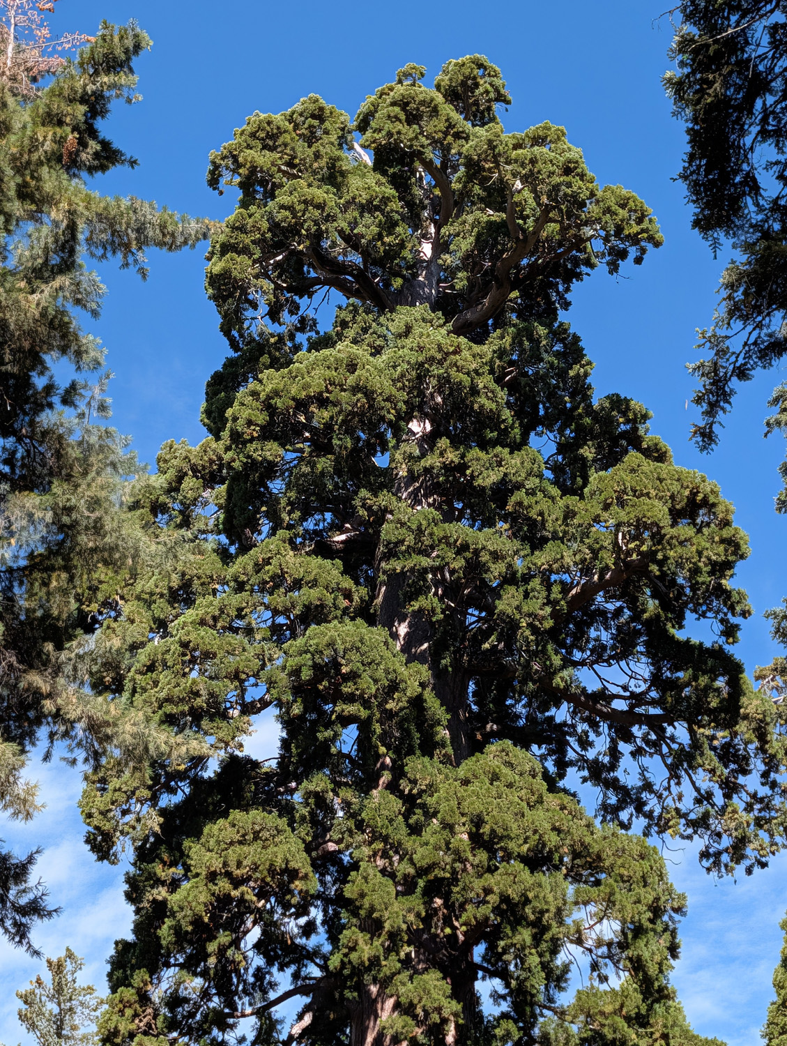
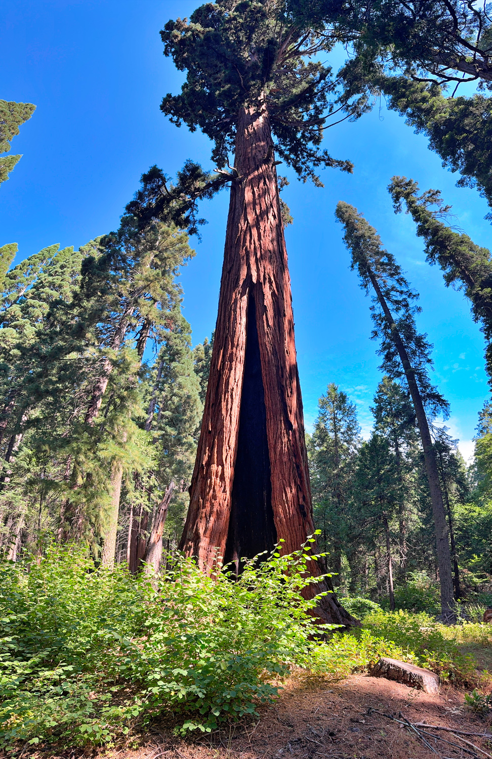
Now it was time for Nelder Grove's crowning glory - the Bull Buck Tree. This is a bigger than average giant sequoia, tall and straight, with a base circumference of over 100 feet. From where the Chimney Tree Trail joins the Bull Buck Trail it's about 300 yards to a spot where a strip of forest was cleared with a bench at the end, allowing a top to bottom view of the tree without neck strain. I never get tired of looking at and photographing this tee, and my companions felt the same. |
|
|
|
| No tree in the grove can match the magnificent Bull Buck | The top of the tree is full and well-shaped |
|
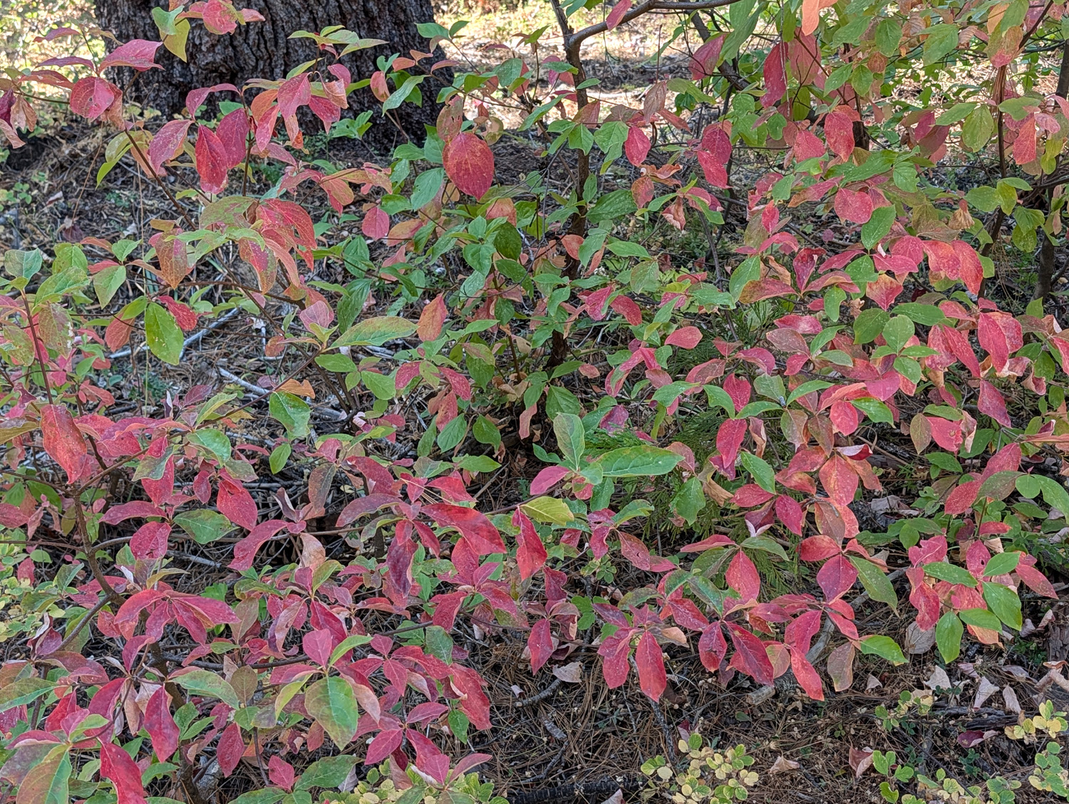
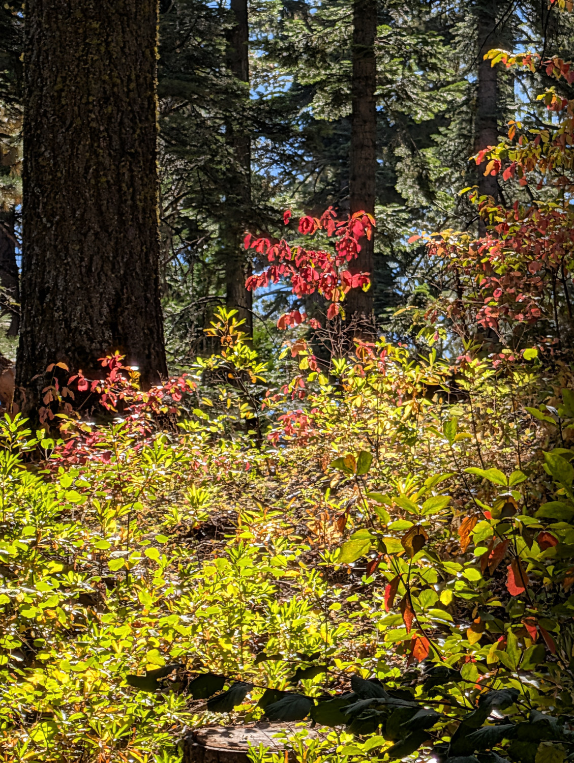
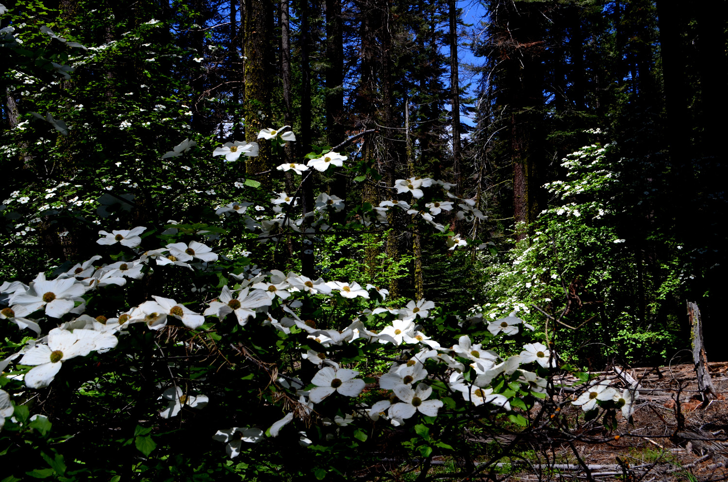
We enjoyed the peaceful scene for fifteen minutes or so, then walked back down the trail to our picnic table to enjoy lunch. Along the trails in many places we saw dogwood leaves turning red for the fall and winter seasons. These trees are always the number two attraction in the grove, with large white blossoms in the spring and colors worthy of an eastern forest in the fall. |
|
|

|
| A secondary attraction in the grove - dogwood | This one is decorated in brilliant fall colors |
|
Once we finished eating, we piled into Teri's car for the 65 mile drive back to the valley. I had no definite plans, but in the back of my mind was the thought that there was still time to make one more visit to this enchanted place before winter brings rain and snow. --Dick Estel, October 2026 |
|


|
Photos (Click to enlarge; pictures open in new window) |
||
|
Mile High Cabin and Kaiser Pass |
||
 |
 |
 |
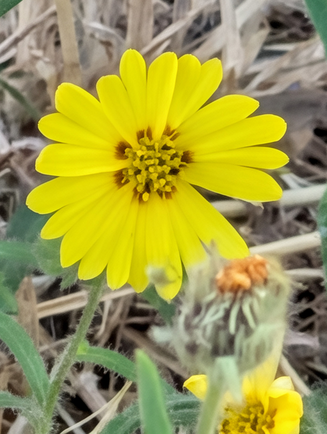
| These flowers bloom
at night and close up during the daytime |
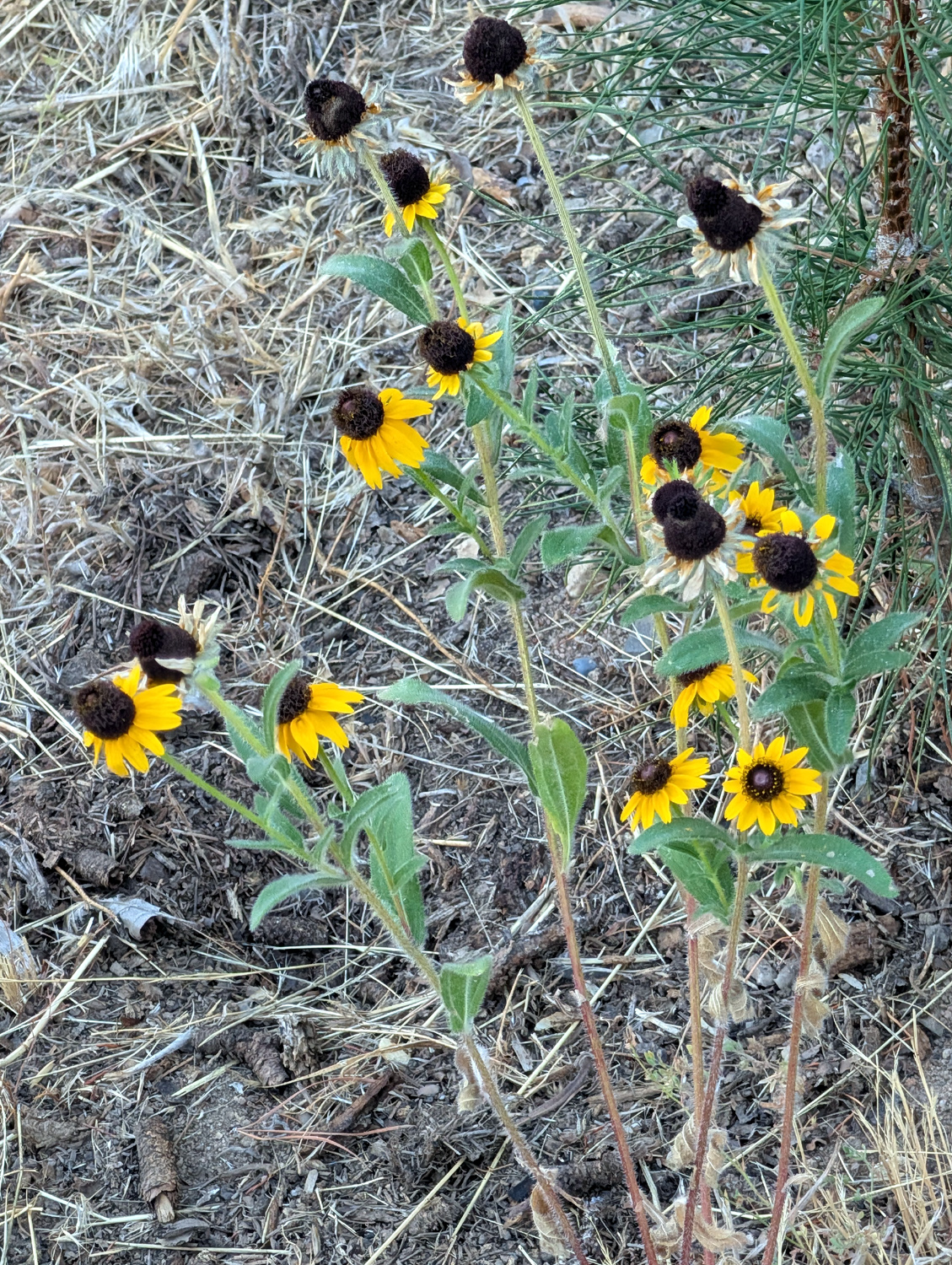
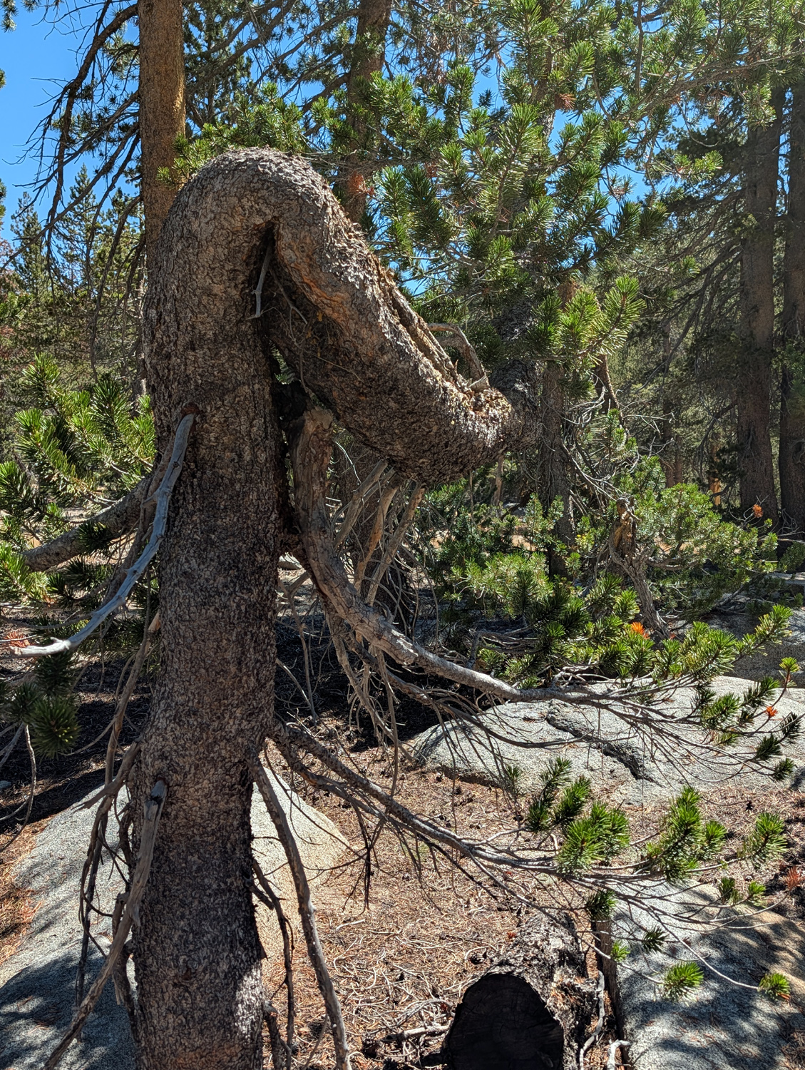
These may be cone flowers | This lodgepole pine
has had a hard life at its 9,000 foot elevation |
 |
 |
 |
| At the border | This peak must have a name. Do you know it? | Sequoias in McKinley
Grove have grown together at the base |
 |
 |
 |
| This dead-looking
sequoia has a live branch at the top |
This is a tall, straight specimen | This giant fell in 2025 or '26 |
| Nelder Grove IV | ||
 |
 |
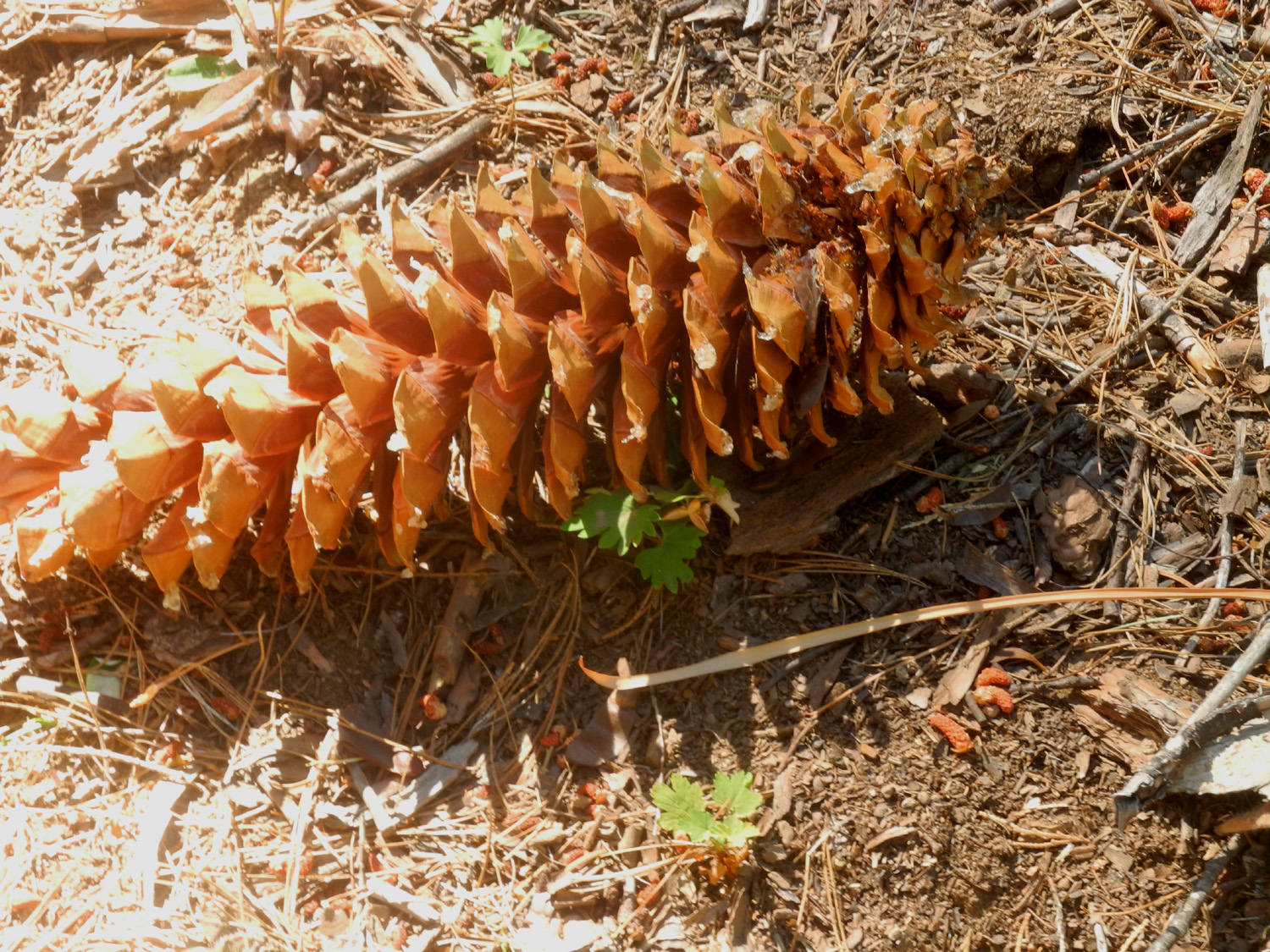 |
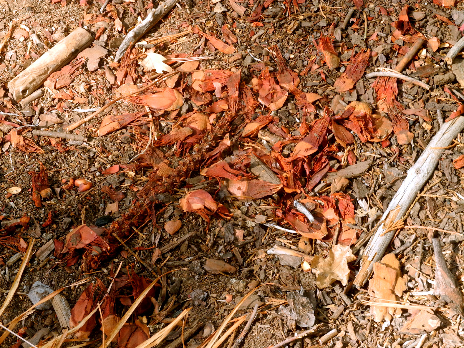
| The work of the
Douglas squirrels that frequent the grove |
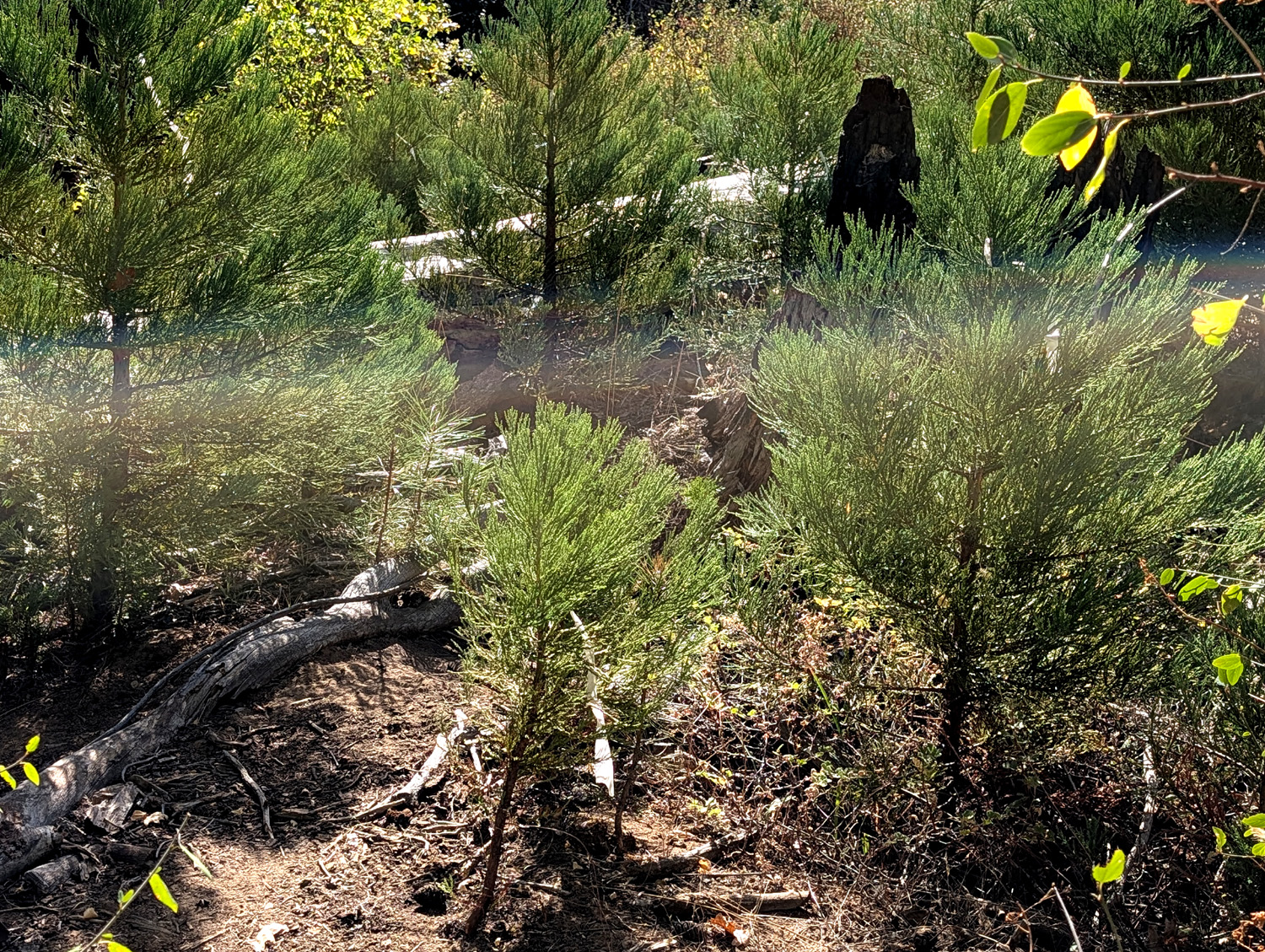
Young sequoias near the Big Ed | Many visitors think the 16-inch long sugar pine cones should come from the giant sequoias |
 |
|
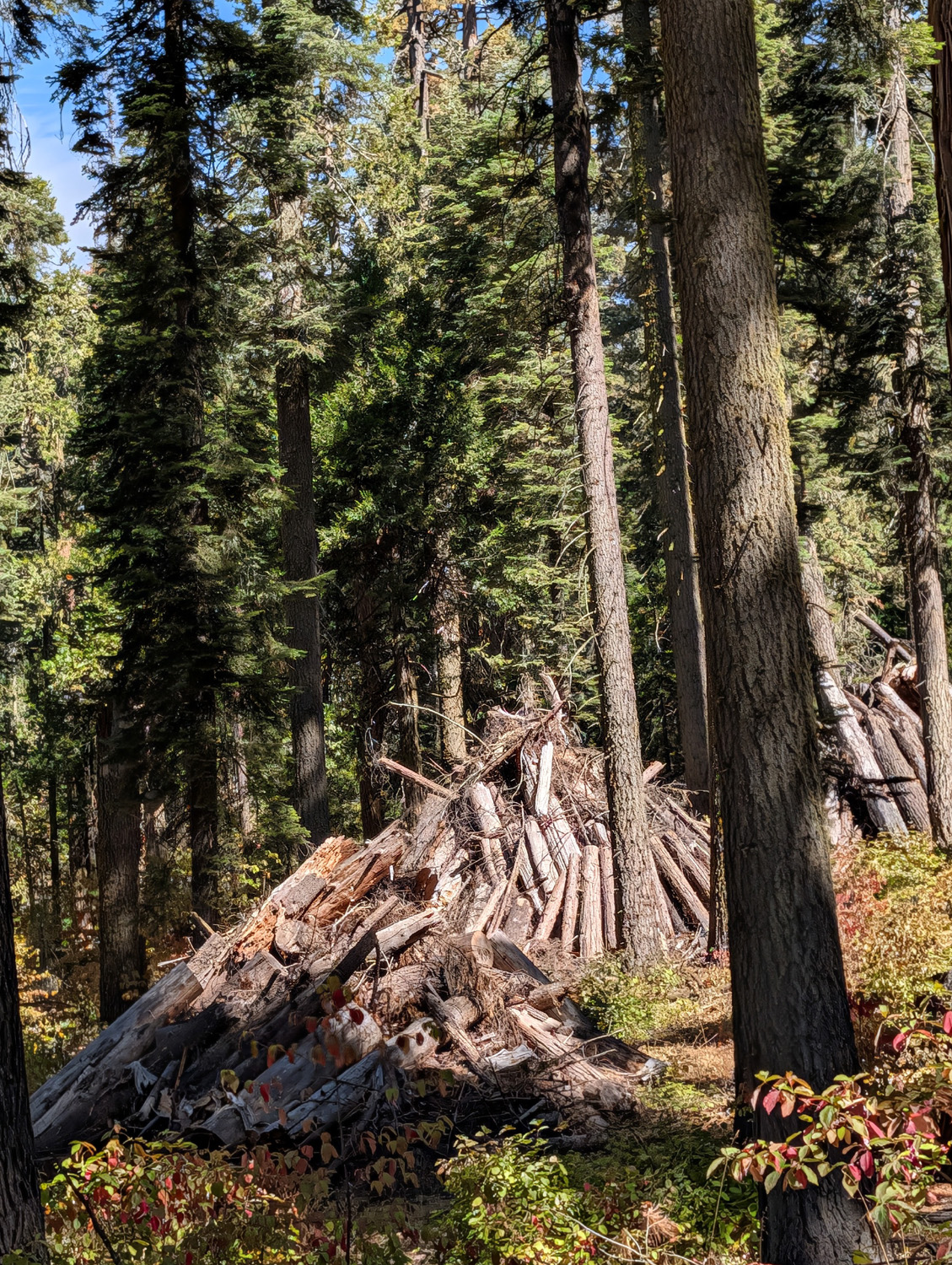 |
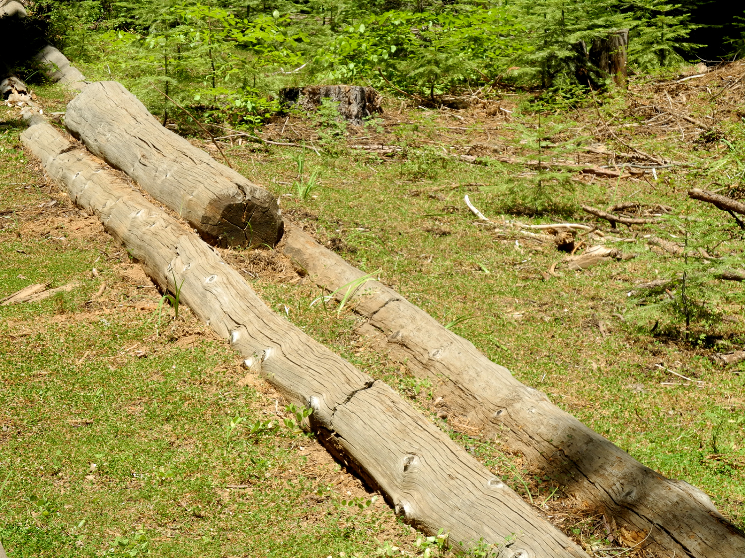
| Dick, Teri, Kara (holding Shadow) and Bobby | Another beautiful dogwood specimen | There are literally hundreds of these piles, waiting to be burned after the weather turns wet and cold |
| Related Links | ||
| Kaiser Pass | White Bark Vista | Silver Divide |
| Ritter Range | Kaiser Wilderness | Perseids Meteor Shower |
| McKinley Grove | Fuller Buttes | Nelder Grove |
| Dick's Nelder Grove Page | Dick's Redwood Gallery | Mariposa Grove in Yosemite |
| Sierra National Forest | Big Ed Tree | Mr. Bill |
| Bull Buck Tree | ||