
|
Rambler Hikes 2026 Page 3 |
|
|
Rambler Hikes 2017 Rambler Hikes 2018 Rambler Hikes 2019 Rambler Hikes 2020 Rambler Hikes 2021 Rambler Hikes 2022 Rambler Hikes 2023 Rambler Hikes 2024 |
|
|
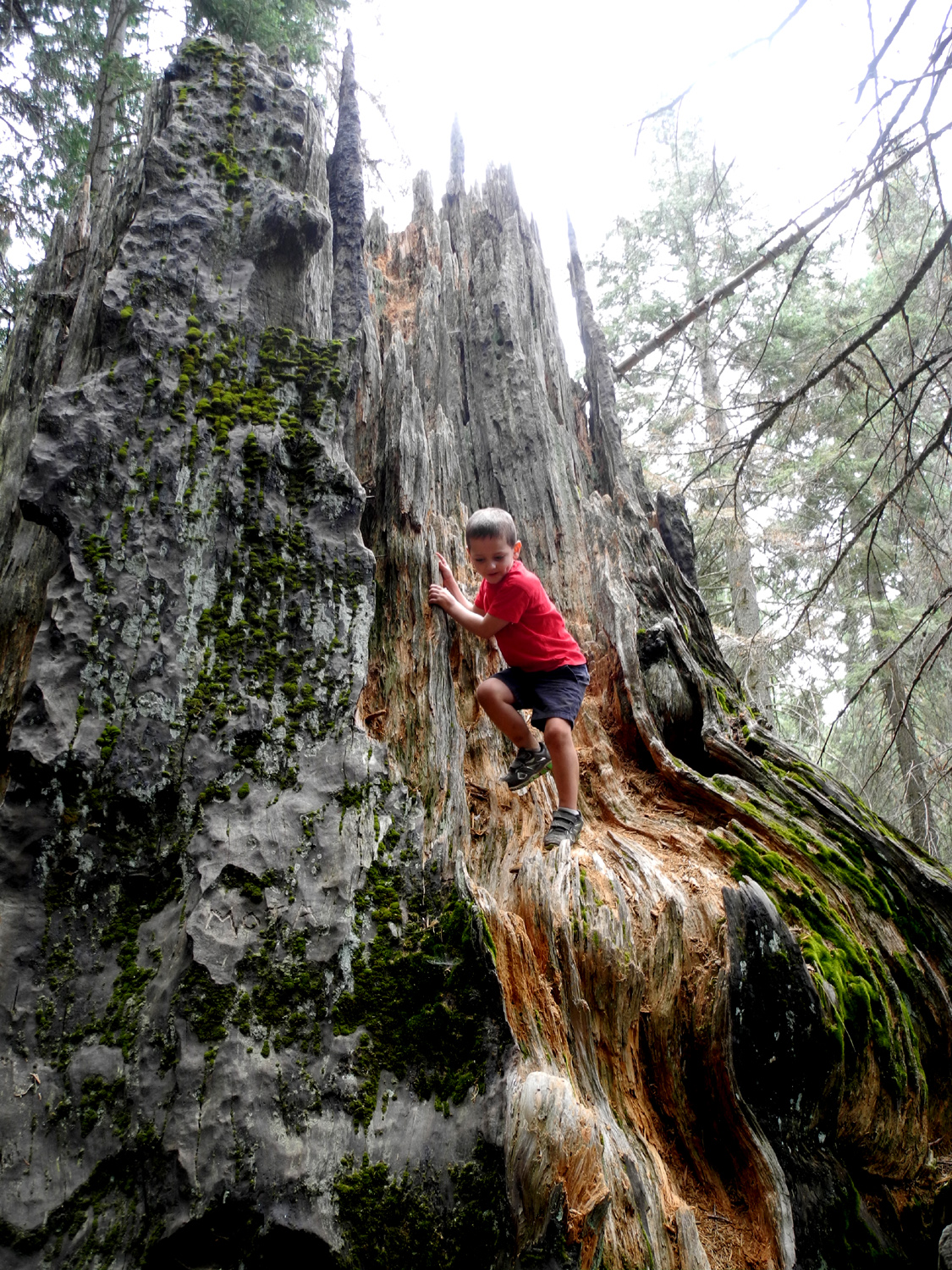
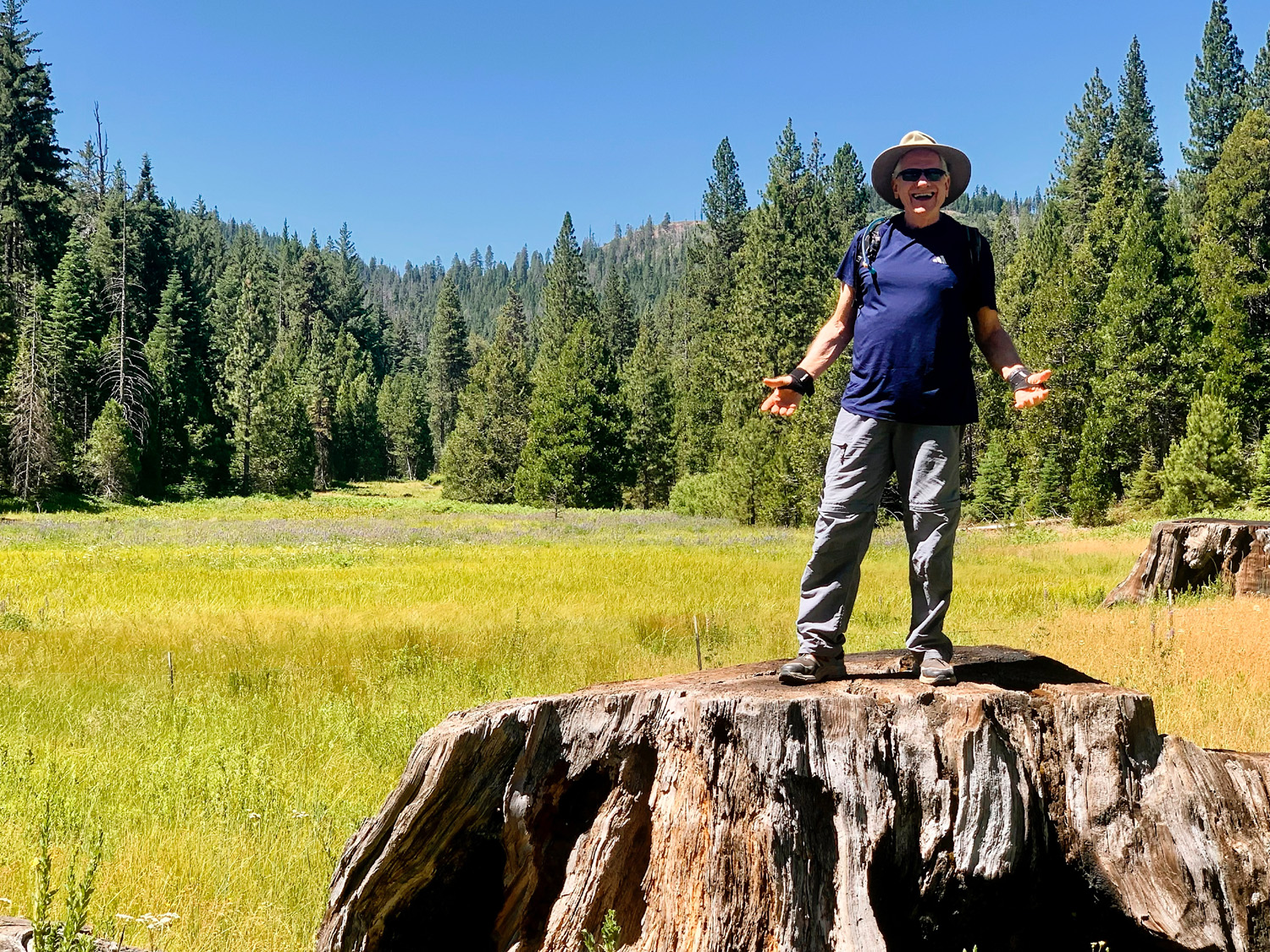
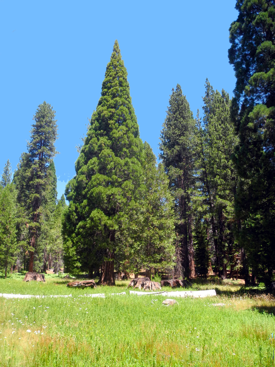
Indian Basin This hike brought together six Ramblers, all boys. Temperatures at home have been warming up, with a string of triple digits in store, so we were glad to get up above 5,000 feet. Even so, it was noticeably warm in the sun. Indian Basin is a sequoia grove a few miles outside of the Grant Grove section of Kings Canyon National Park, near Highway180 by Princess Campground and the turn-off to Hume Lake. Don't look for ancient giant trees here - all were cut down around the start of the 20th Century. Instead you will see a number of huge stumps, and dozens of young sequoias, a hundred feet tall or so, and maybe three to four feet in diameter at chest height. Come back in a thousand years and this will be a very impressive grove of big trees. |
|
 |
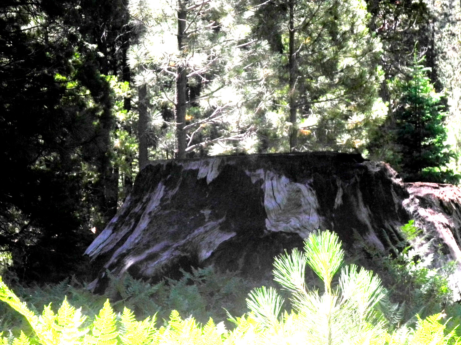 |
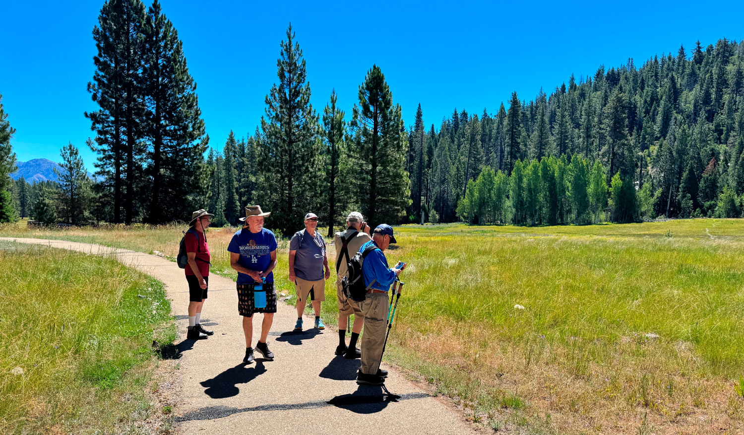
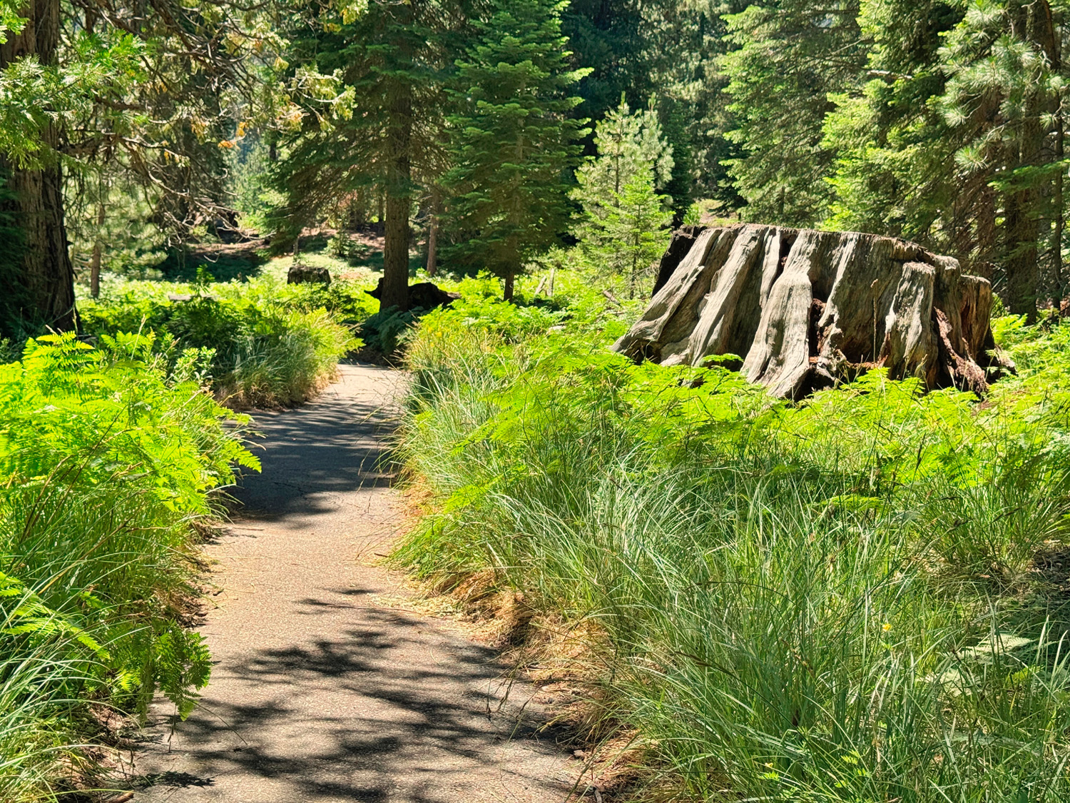
| The start of the trail is easy and flat | One of many big stumps that memorialize a once-magnificent grove |
|
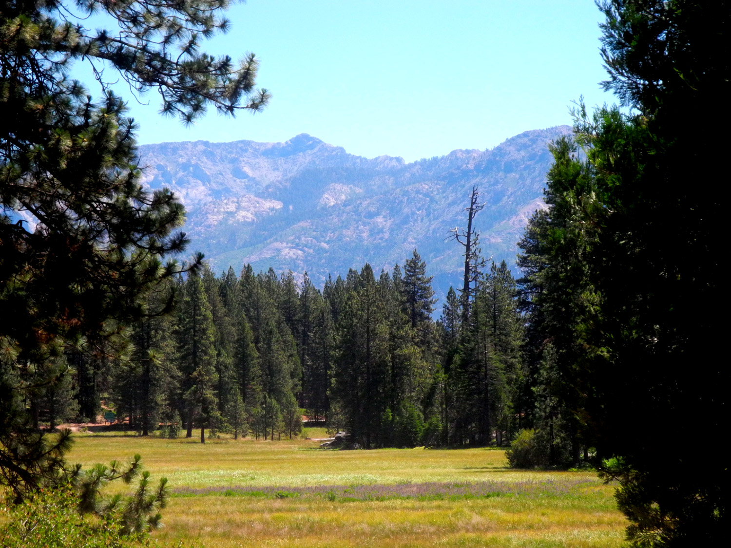
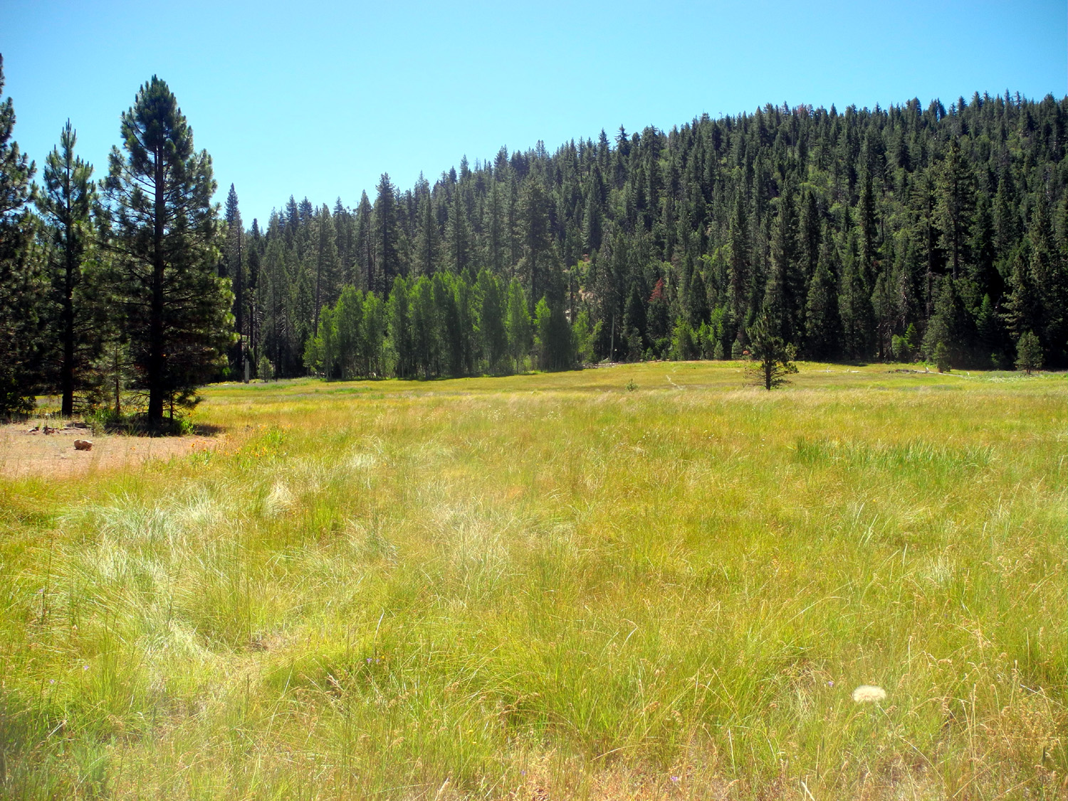
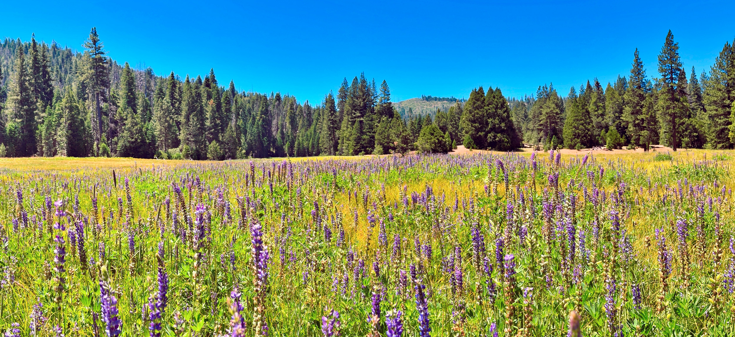
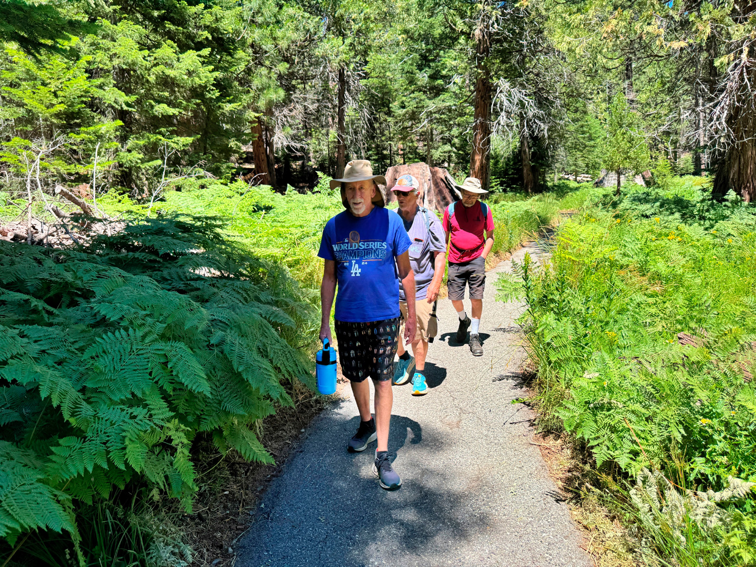
The trail is paved with asphalt, and has a few uphill sections, none very steep. The first stretch runs along a huge meadow, with views of high mountains beyond. There is an unpaved spur trail that goes along one end of the meadow for maybe a half mile. It's an out and back, not a loop, and we all went at least part way on that trail. Back on the paved route, we walked past cedars, ponderosa and sugar pines, many small shrubs, and of course, young sequoias. The meadow had a big patch of lupines, and there were other flowers along the trail. Once the trail moved away from the meadow, we were surrounded by massive numbers of ferns. |
|
 |
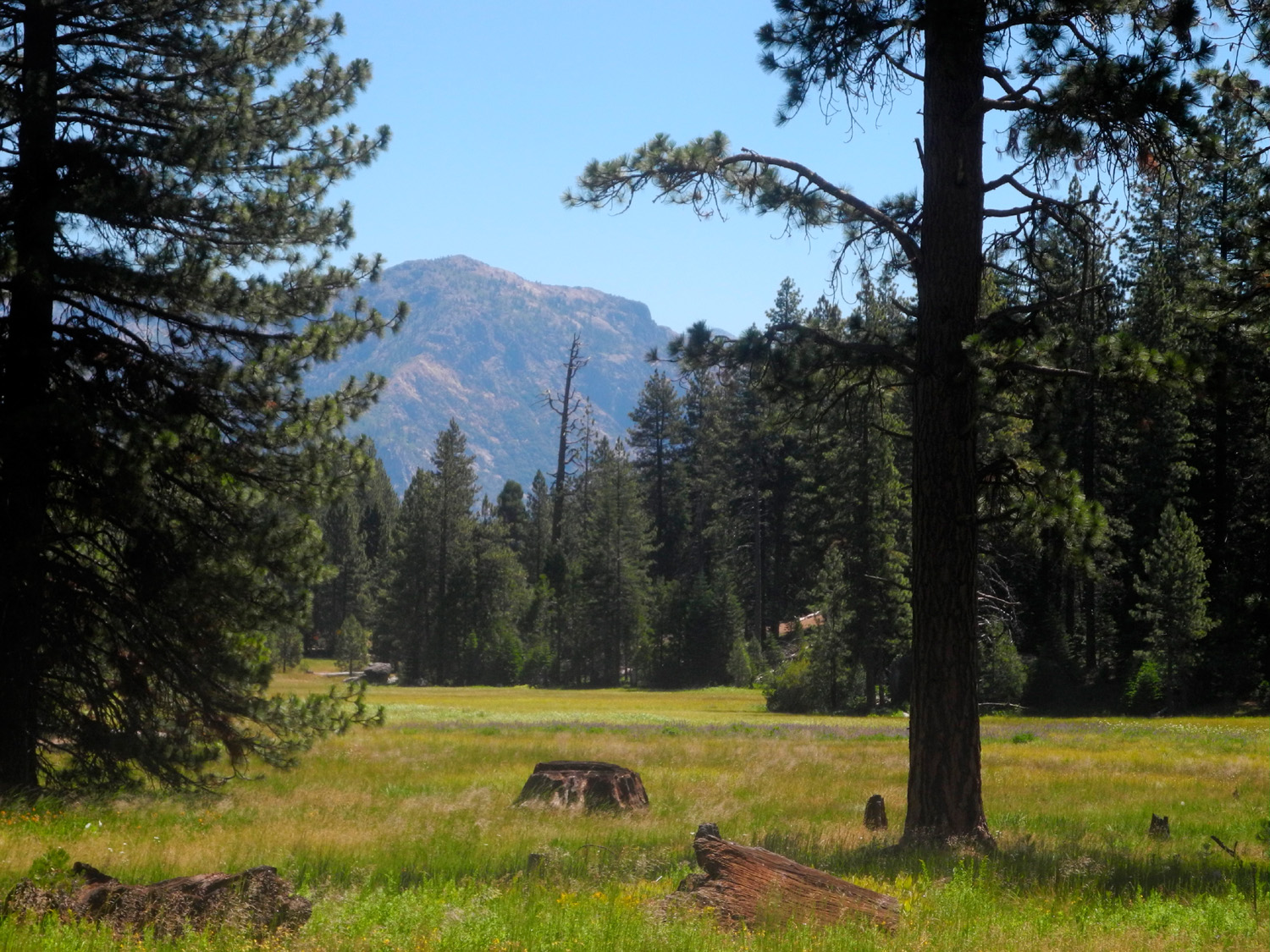 |
| We're calling this Princess Meadow, in honor of the camp name | Mountains beyond the meadow |
|
|
|
 |
|
| A massive patch of lupines in the meadow | |
 |
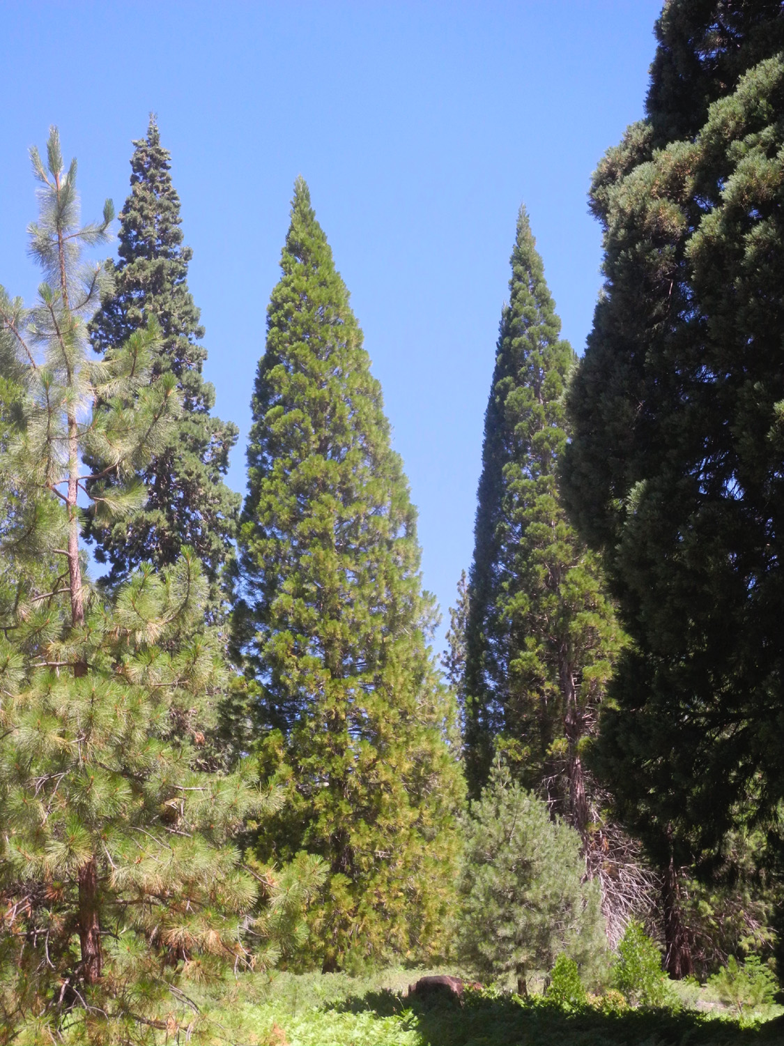 |
| Ramblers are surrounded by big ferns on all sides | Pointed tops identify young sequoias |
|
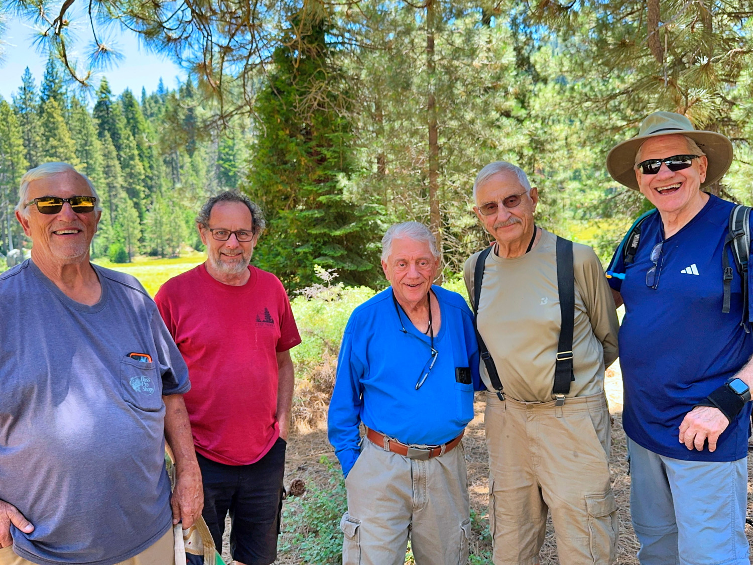
When we returned to the parking area, we occupied a picnic table that was mostly in the shade, and enjoyed the lunch we had each brought. Our friend Julie, who no longer hikes, used to bring Snickers for everyone, so Dick provided a container of fun-size Snickers and Butterfingers for dessert. The Ramblers this day were Wes Thiessen, Don McClellan, Don Bandoni, Bruce Nieman, Keith Sohm, and Dick Estel. Everyone agreed this was a delightful location, and hopefully hiking here will be an annual event for the Ramblers. --Dick Estel, July 2026 |
|
| Courtright
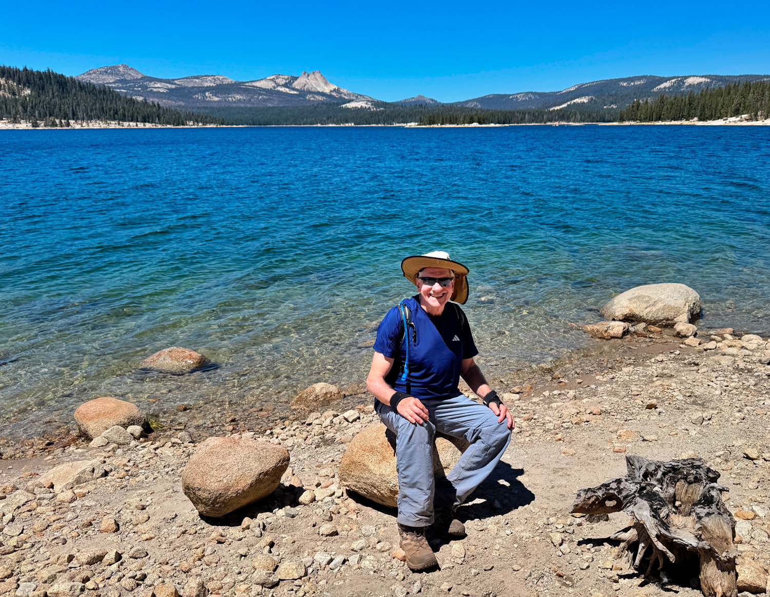
Reservoir (Photos by Wes & Dick) The Ramblers last went to Courtright Reservoir in August of 2022, so it was definitely time for a return visit. This mountain lake is formed by a dam on Helms Creek, a tributary of the North Fork of the Kings River. The water that used to flow down the creek to the North Fork now goes through an underground power house downstream from the dam, and through a tunnel to Wishon Reservoir on the Kings. At night when power use is lowest, water is pumped back up hill to Courtright, and the process is repeated, the whole thing being the Helms Pumped Storage Project. We had a group of five - Wes Thiessen, Don McClellan, Vickie Klassen, Patrice White and Dick Estel. All but Don gathered at Wes's house and rode in his Subaru, meeting Don at Prather, where some of us picked up our lunch at Subway. It's a long drive to the trailhead, about 75 miles, and a trip of two hours. A narrow road, sometimes one-lane, takes you across the dam and to a large parking lot about a mile in. This is the start of the Dusy-Ershim Trail, a four-wheel drive route said to be one of the most difficult in the U.S. It goes about 33 miles to the opposite trailhead above Kaiser Pass, and recommended travel time is about three days. By foot, as far as we usually go, it's mostly level, fairly easy, and a delightful scenic hike, a two to three mile round trip. |
|
 |
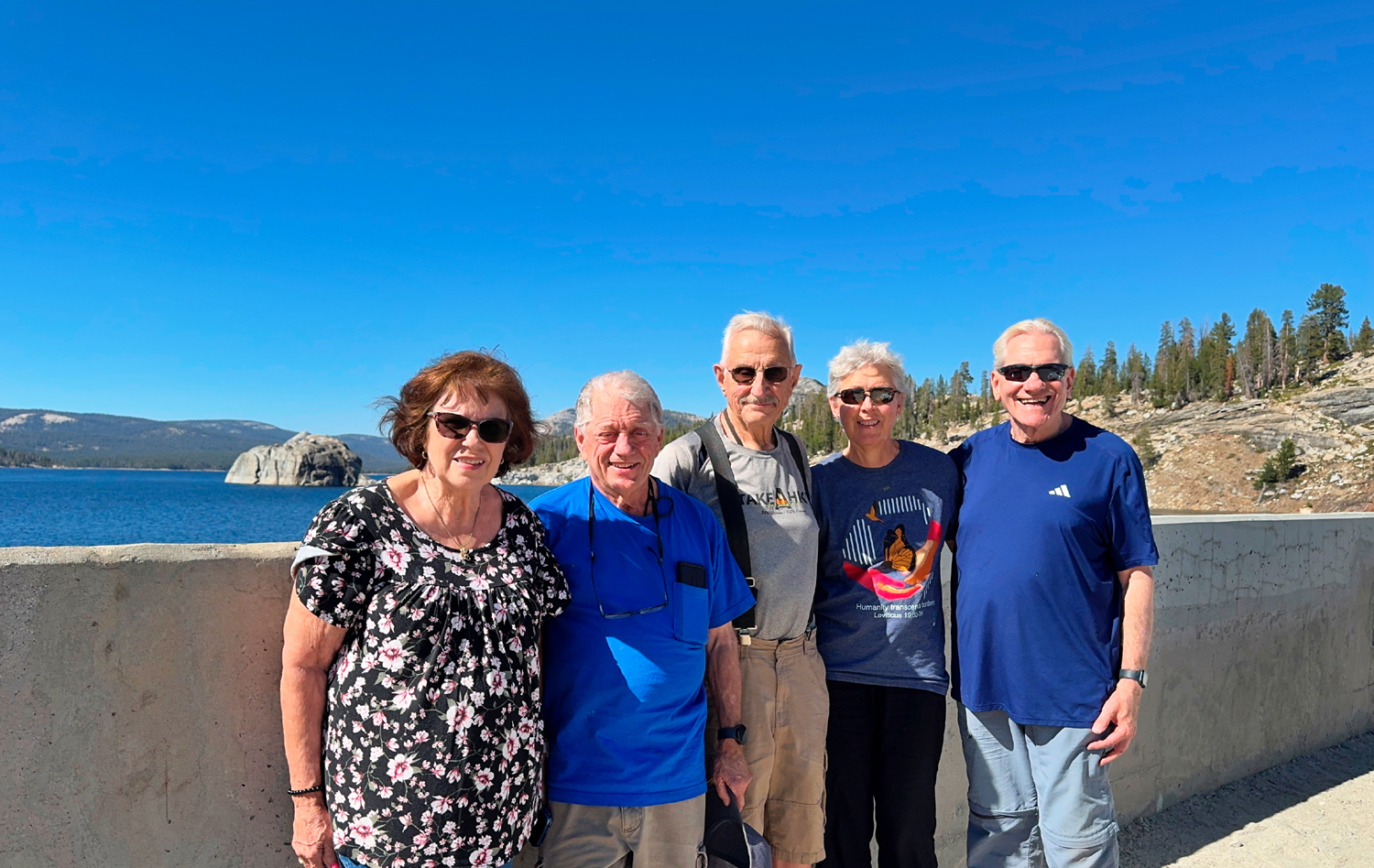 |
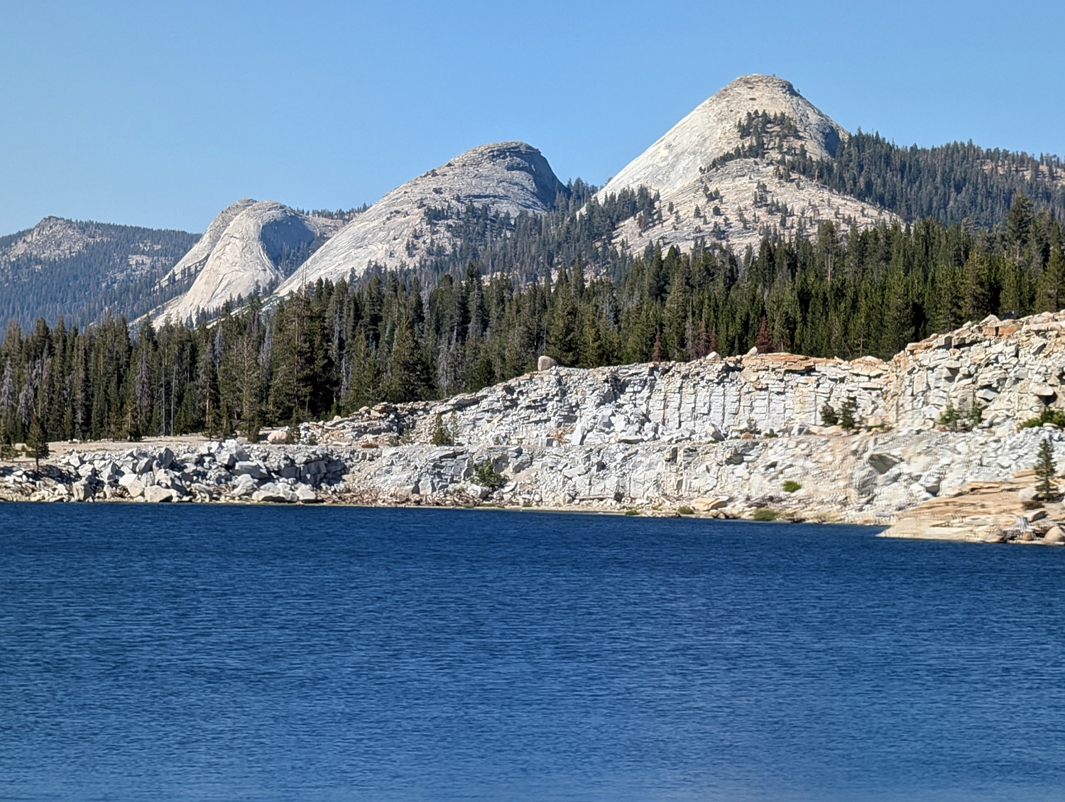
| The first view of Courtright is breath-taking | Patrice, Don, Dick, Vickie and Wes on the dam |
|
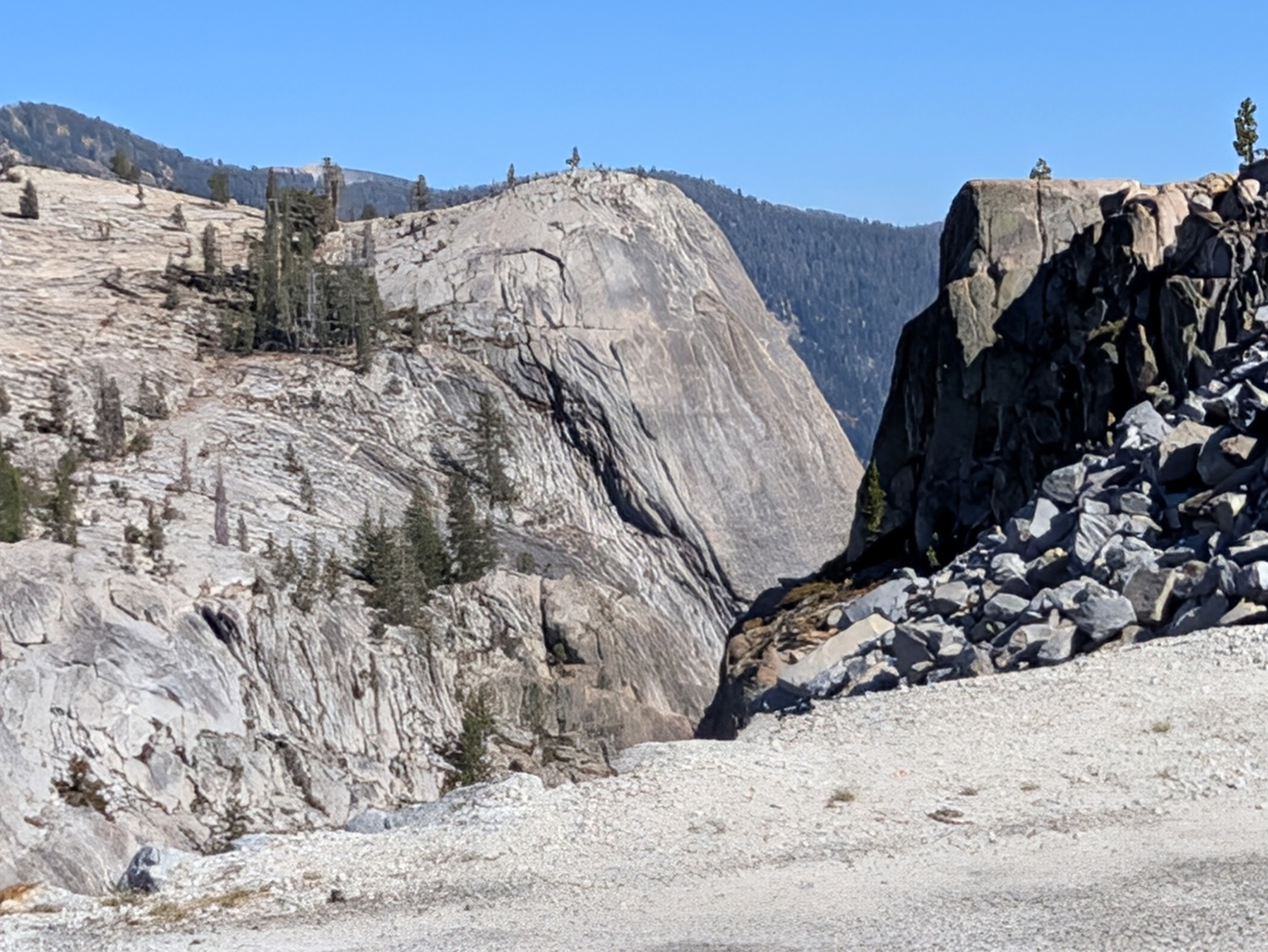
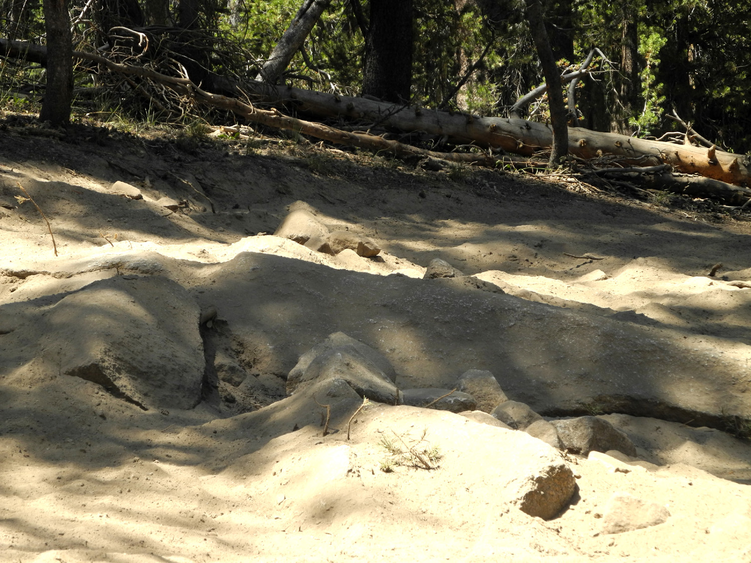
The area around the lake is a land of domes, twisted old juniper trees, and bedrock granite slabs covered with boulders large and small that were carried by glaciers and deposited in their present location when the ice melted. After a steep descent of a hundred yards or so, the trail becomes an easy, mostly level forest road that we could drive our cars on. But when you come to an area that requires 4-wheel drive, you can easily see how the route gets its reputation. |
|
 |
 |
| Yes,
this is the road - and there are many more difficult spots (2016 photo) |
The
five-trunk juniper (2017 photo) |
|
Wes and Vickie set a fast pace and were soon out of sight, while Patrice, Don and I lagged behind. To be accurate, I lagged behind and they slowed down to make sure I was not left hiking alone. I have done many solo hikes in this country, but those days are over. We went to my usual turnaround place, the huge granite slab covered with glacial erratics that I call the Giant Marble Game. Before you get there, the trail leaves the Jeep road and takes hikers into a shady stretch. Soon you are walking at the foot of the big slab, and here we started up across it. It was at this point that Wes and Vickie had continued on the 4-wheel route to where it reaches the back side of the lake. |
|
 |
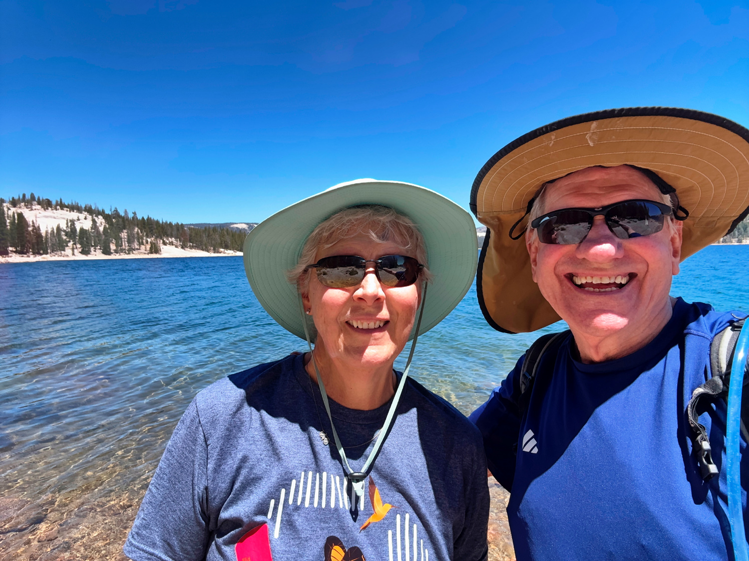 |
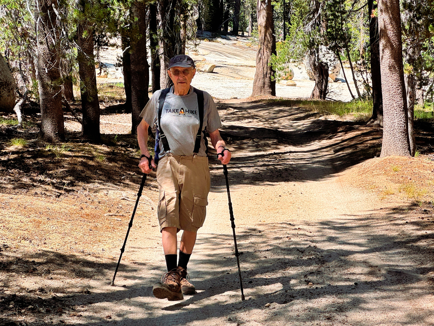
| Dick on a shady, level stretch of the trail | Vickie and Wes on the "back side" of the lake |
 |
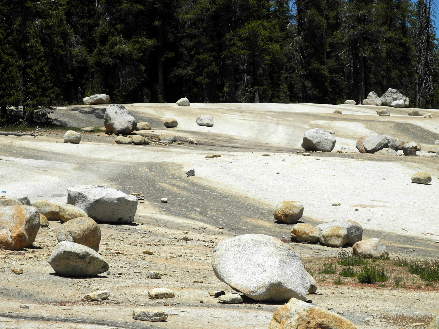 |
| The Giant
Marble Game (1970 photo) |
Dark
stain shows where water has run down through the centuries (2016 photo) |
|
Our trio made our way up to the top of the slope and headed back toward the trailhead. The 4-wheel drive road crosses the granite slab at this point, with blue reflective dots affixed to the rock to guide the way. Once off the rock this first part of the road is very steep and the most difficult in this first mile, although somewhat easier for walkers. We just had to be very careful, use our poles for balance, and avoid places where rocks and loose soil could slide under our feet. This section soon gets down to the level section and after that it's easy walking till the last 100 yards. While we were resting Don gave out a loud whistle, and we heard a reply coming from ahead of us. Wes soon appeared, having passed us going out when we were where he could not see us. He thought we would get back to the trailhead ahead of him, so he was worried that someone had fallen. We don't do that. |
|
 |
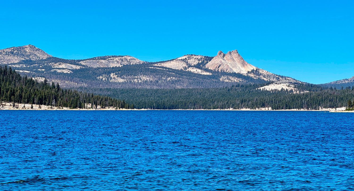 |
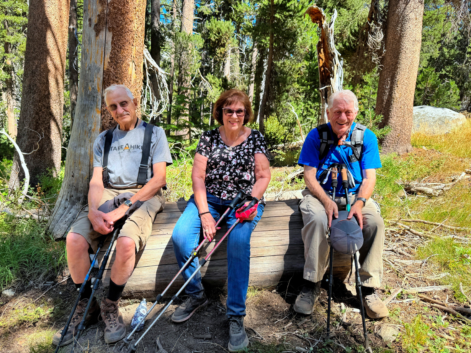
| The forest was generous with resting logs | Hiking to the back of the lake provided this view of the Three Sisters |
|
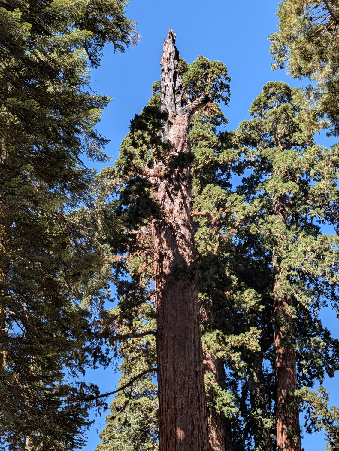
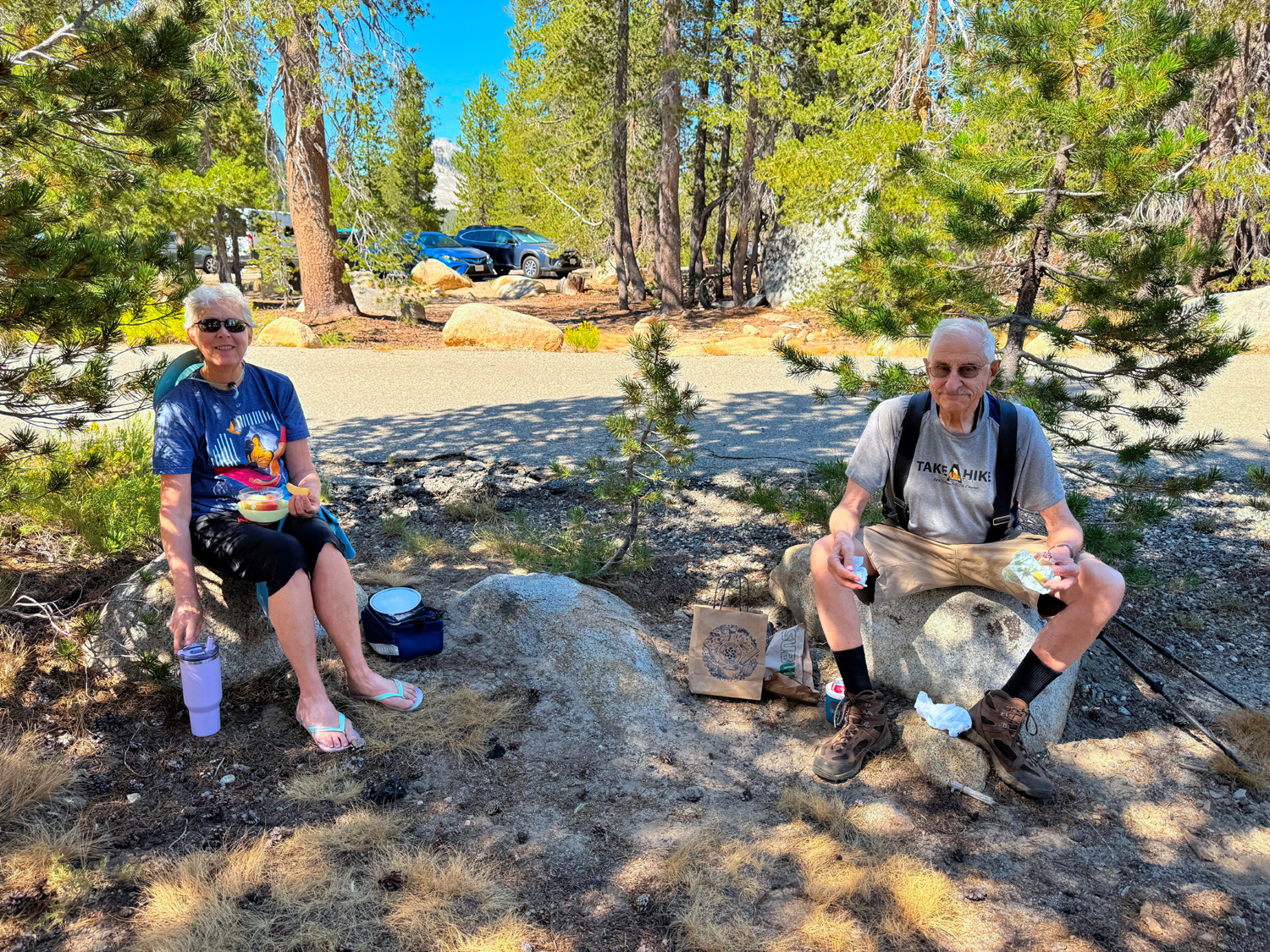
With plenty of rest stops we made it back up the steep final 100 yards, just in time for lunch. The parking lot is just that - no picnic tables, and most of the people parked there were probably backpacking or traveling with a 4-wheel drive party. We found a place in the shade with a rock for each of us to sit on, but it became more and more uncomfortable as time went on, and we were soon ready to pack up and head down the hill. With a temperature of 105 in the valley, we were glad to be in a somewhat cooler location. But even at 8,000 feet it was warm in the sun, with an expected high of 80 degrees. When we dropped Don off at Prather, elevation 1600 feet, we were hit hard by the hot air as we stepped out of the car. Wes turned the A/C to a cooler setting and delivered us safely back to Fresno. With a long drive, a slow hike, and four slow dump trucks in front of us going up, it was after 7 p.m., despite our 8 a.m. departure time. Turning back the clock a bit, and accounting for some of our long day, on our way up we made a pit stop at McKinley Sequoia Grove, half-way between Dinkey Creek and the road fork that leads to Courtright or Wishon. The Garnet Fire of 2025 burned into the area, but it appears firefighters were able to save most or all of the large trees. There was one sequoia with blackened bark and brown foliage part way up but the top was still nice and green, so it will probably survive. |
|
 |
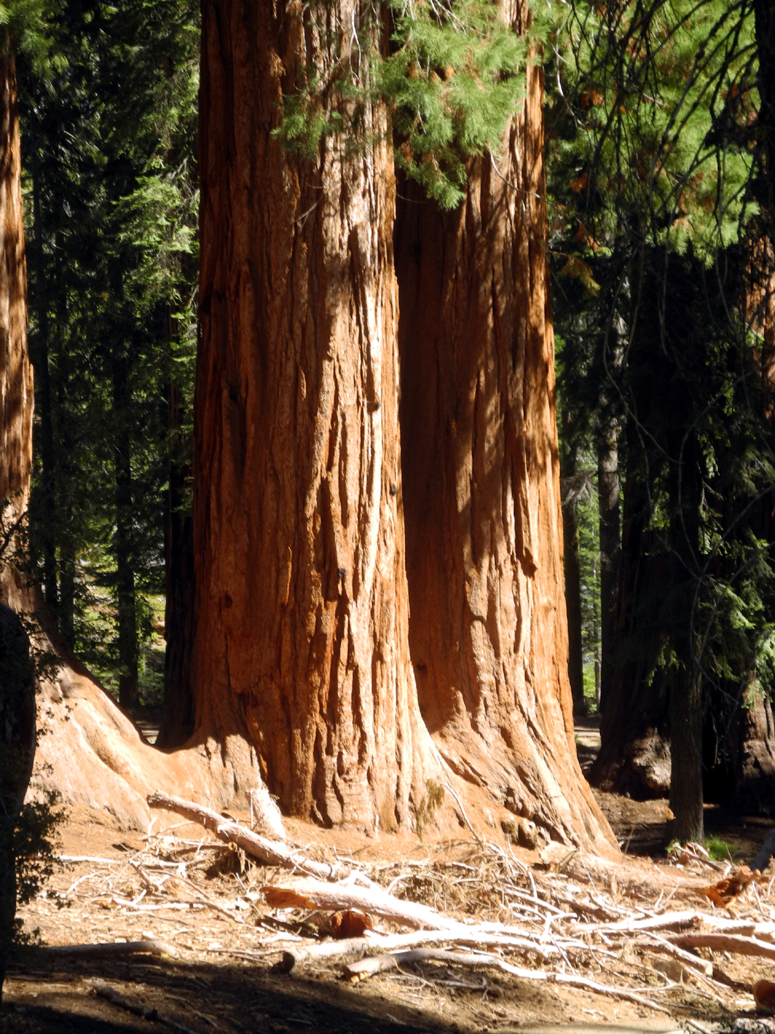 |
| Dead tops are a frequent normal feature of giant sequoias | Twin
sequoias (2019 photo) |
|
On our way home we were already looking forward to our September outing, and I promised to send some suggested dates before the weekend, while Wes would offer some suggestions on an appropriate destination --Dick Estel, August 2026 |
|
| Big
Stump Loop Trail
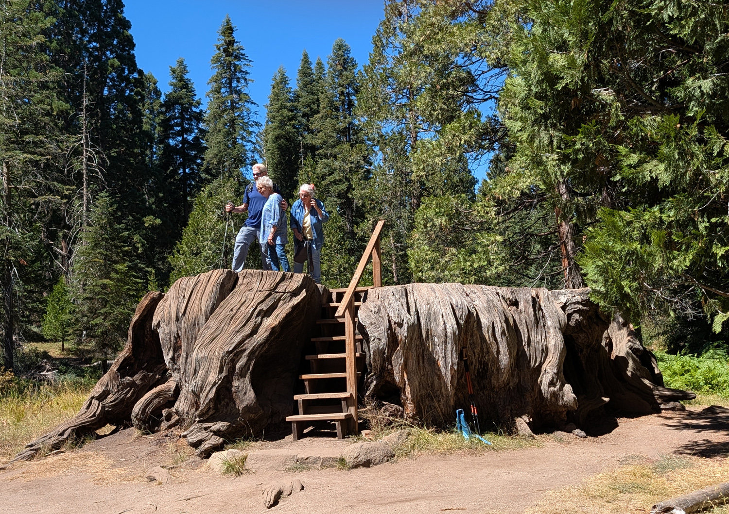
In keeping with our accidental plan to see sequoias on every hike, on September 9 the Ramblers hiked the Big Stump Loop Trail in Kings Canyon National Park. We had gone to Nelder Grove in June, Indian Basin Grove in July (no giant trees, but stumps and well-established 150-year old "giants to be"), and a stop at McKinley Grove on our way to Courtright Reservoir in August. This location is just inside Kings Canyon National Park and starts at a rest stop with bathrooms and picnic tables, about a half mile past the entrance station. The trail drops down in elevation a few hundred feet, then goes around a meadow where a lumber mill once stood. Along the way there are a number of large sequoia stumps from logging days, but the official Big Stump is the Mark Twain Stump, This is what remains of the Mark Twain Tree, which was cut down in 1891, with slabs sent to the American Museum of Natural History and the British Museum, to demonstrate the amazing size of these trees. People declared that it was a hoax. Although thousands of sequoias were cut in the area, eventually someone had the bright idea of leaving the trees where they had been growing for anywhere from a thousand to three thousand years, and having people come to the trees. This gave us Kings Canyon and Sequoia National Parks. |
|
 |
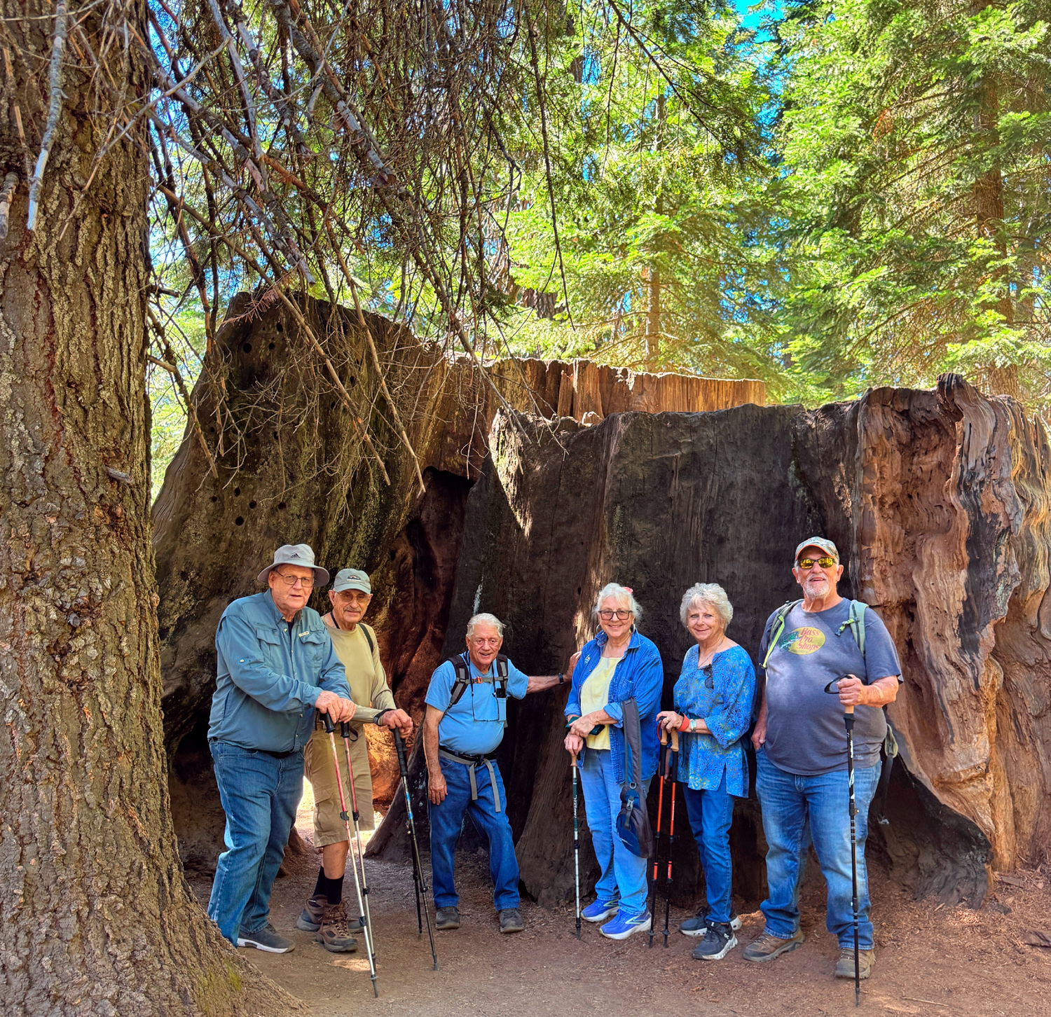 |
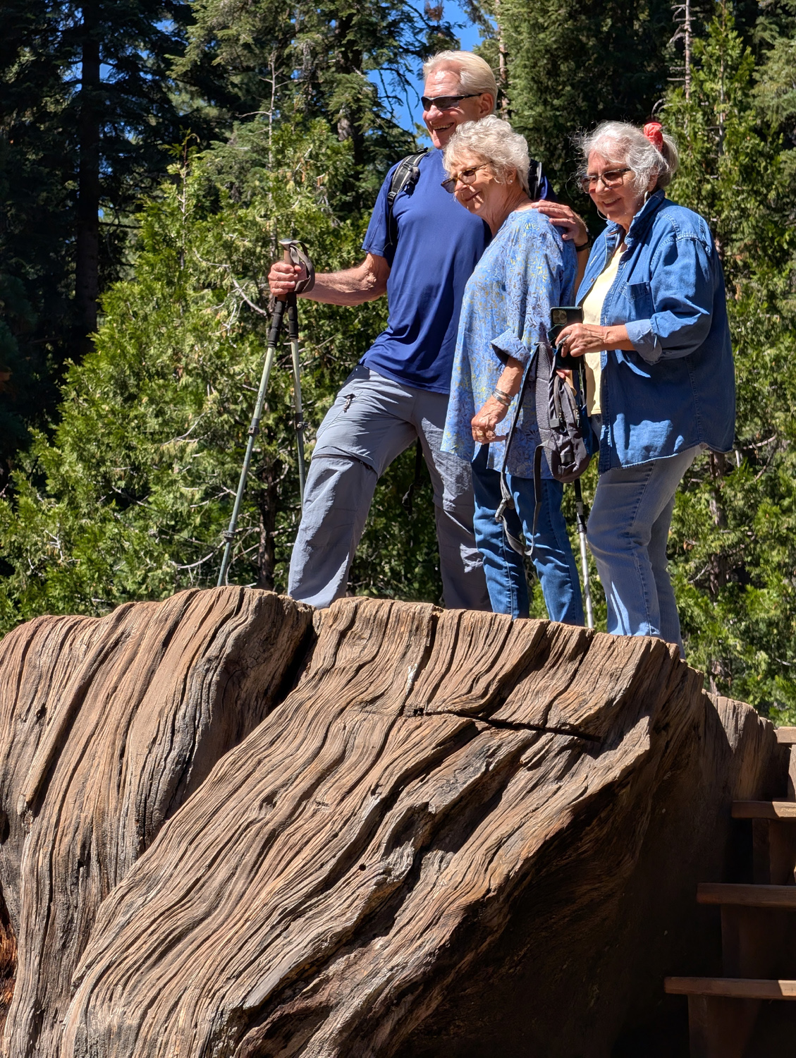
| Wes, Laurie and Susan on the Mark Twain Stump | Alan, Dick, Don M, Susan, Laurie and Don B by a nameless big stump |
|
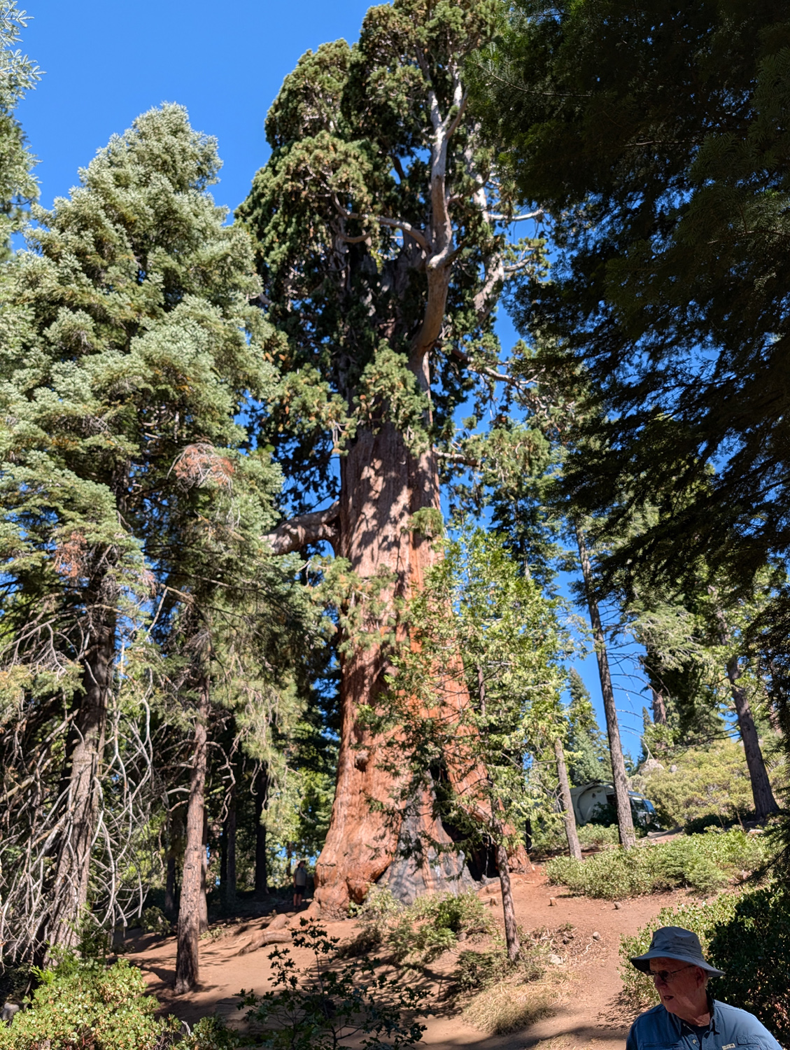
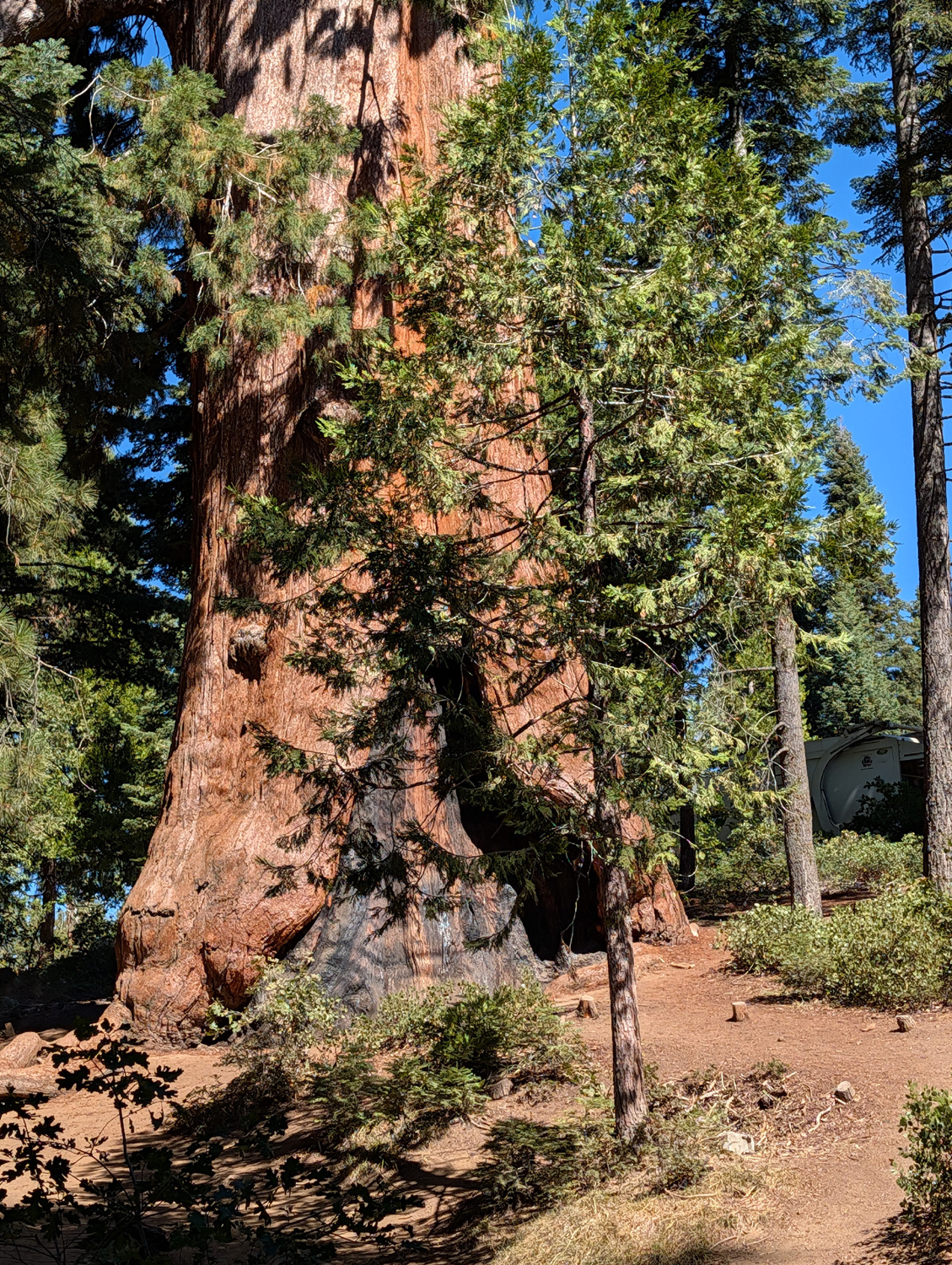
The vast majority of the sequoias in these parks are in the Grant Grove area, a few miles beyond our trailhead, and Giant Forest about 30 miles south off the Generals Highway. There are a couple of big trees visible from Highway 168 just before the park entrance, the Methuselah Tree just past the entrance station, and an impressive giant just down the trail from the parking lot. Other sequoias in this area tend to be youngsters, around 150 years old, and a few more recent saplings in the 15 to 30 foot tall range. |
|
 |
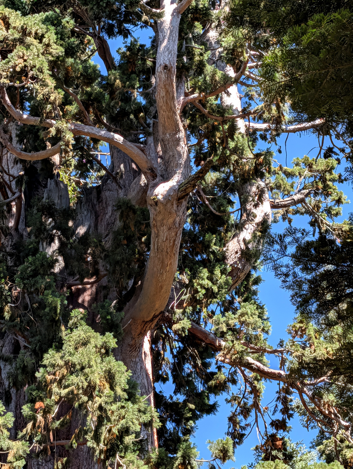 |
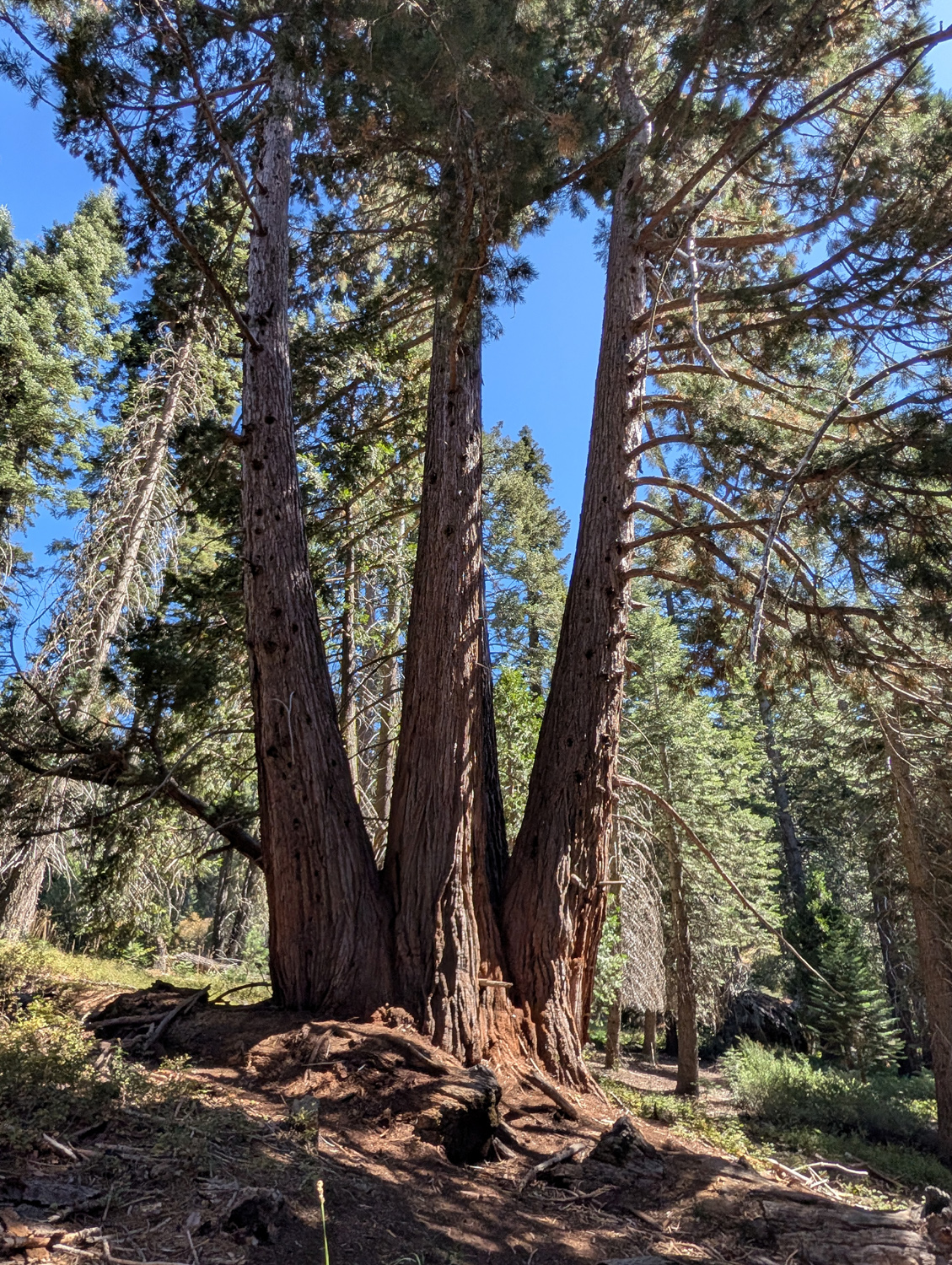
| This is the "start of the trail" tree | This big branch is several feet in diameter |
|
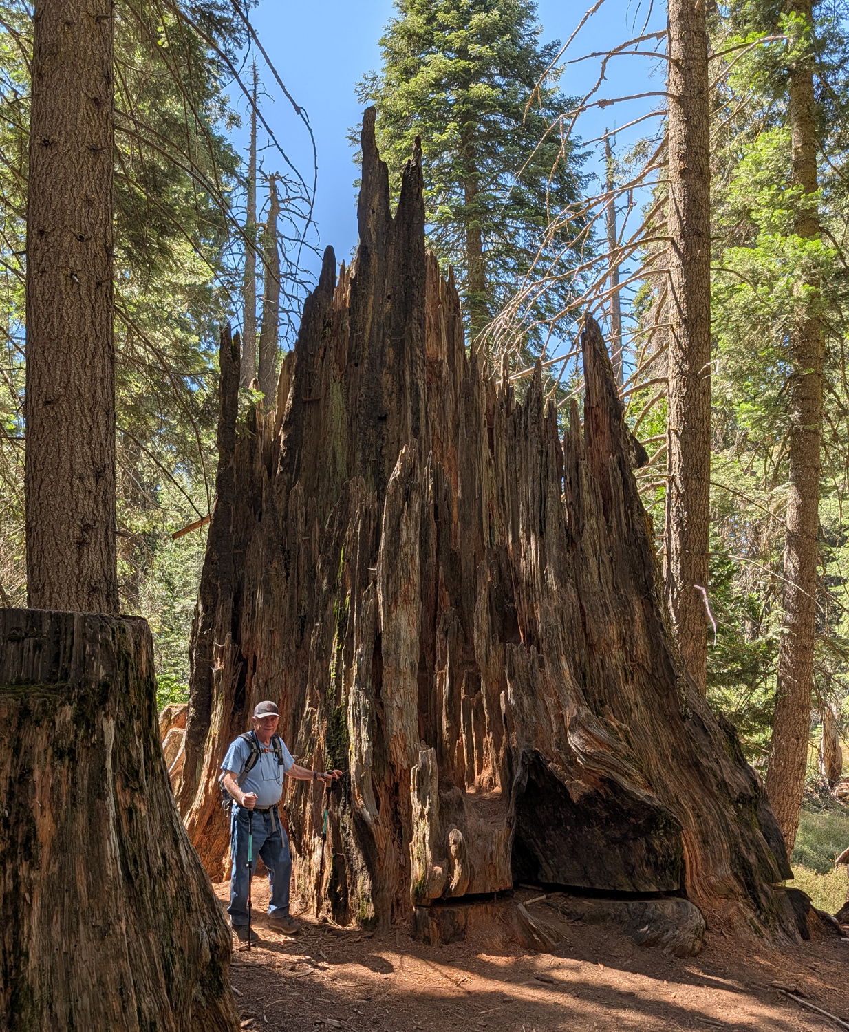
One of my favorite stops along the trail is "The Castle." This is a broken-off giant sequoia with jagged sections reaching up to about 20 feet high. It was not cut, it is actually broken, and has intrigued me for some time. Over the years I walked past it a number of times without noticing it, but when I camped in Grant Grove with great grandson Colton in 2017, he spotted it and climbed up into it, giving it the name. We could not think of any cause but wind, but it would seem to require a humongous wind to break off a mature sequoia. Such a wind should also cause other damage, and in fact, I noticed for the first time another smaller broken-off sequoia some distance away, mostly hidden by stumps and smaller trees. We talked with a volunteer ranger at the picnic area and asked him about it. He said there is speculation that wind was the cause, but the official decision is that "it's a mystery." |
|
 |
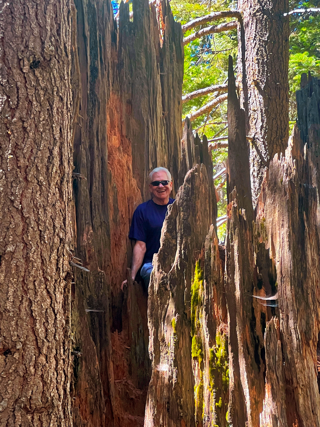 |
| Don M next to the "Castle" | Like 4-year old Colton, 77-year old Wes also climbed up into the "Castle" |
|
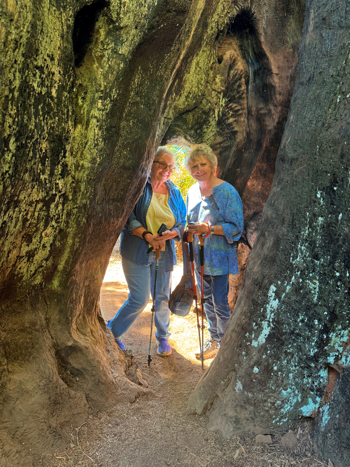
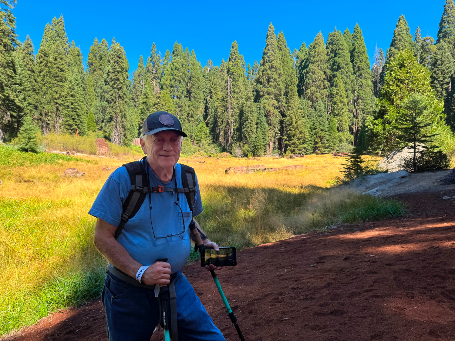
Other attractions along the trail include two trees that were planted by a local woodsman in the late 19th Century, the remnants of a "feather bed," a layer of branches laid down to cushion the fall of these brittle trees, and the Shattered Giant, a sequoia that lies in huge pieces where it fell. We were seven in number for this outing. We were happy to welcome back Susan Silveira and Laurie Fitzgerald, who have been in New England most of the summer and last hiked in June. Allen Ward has been otherwise occupied since April and drove up from Visalia. Don Bandoni, Don McClellan, Wes Thiessen, and Dick Estel, who join nearly all hikes, rounded out the group. We each brought our own lunch and after our hike enjoyed good company at a couple of mostly shaded picnic tables next to the parking lot. We were having a brief period of summer temperatures (near 100 in the valley) so it was nice to hike at the five to six thousand foot level. This was brought home to us dramatically when we stopped at our valley meeting place so passengers could return to their own vehicles, and we were slapped with HOT HOT air. It will still be warm, but not "summer warm" for our October hike. Hope to see many Ramblers then. --Dick Estel, September 2026 |
|
| Photos (Click to enlarge; pictures open in new window) | ||
| Indian Basin Courtright Big Stump Loop | ||
| Indian
Basin (Photos by Wes and Dick) |
||
 |
 |
|
| Don B, Keith, Don M, Dick, Wes | Wes on the stump | Meadow and mountains |
 |
 |
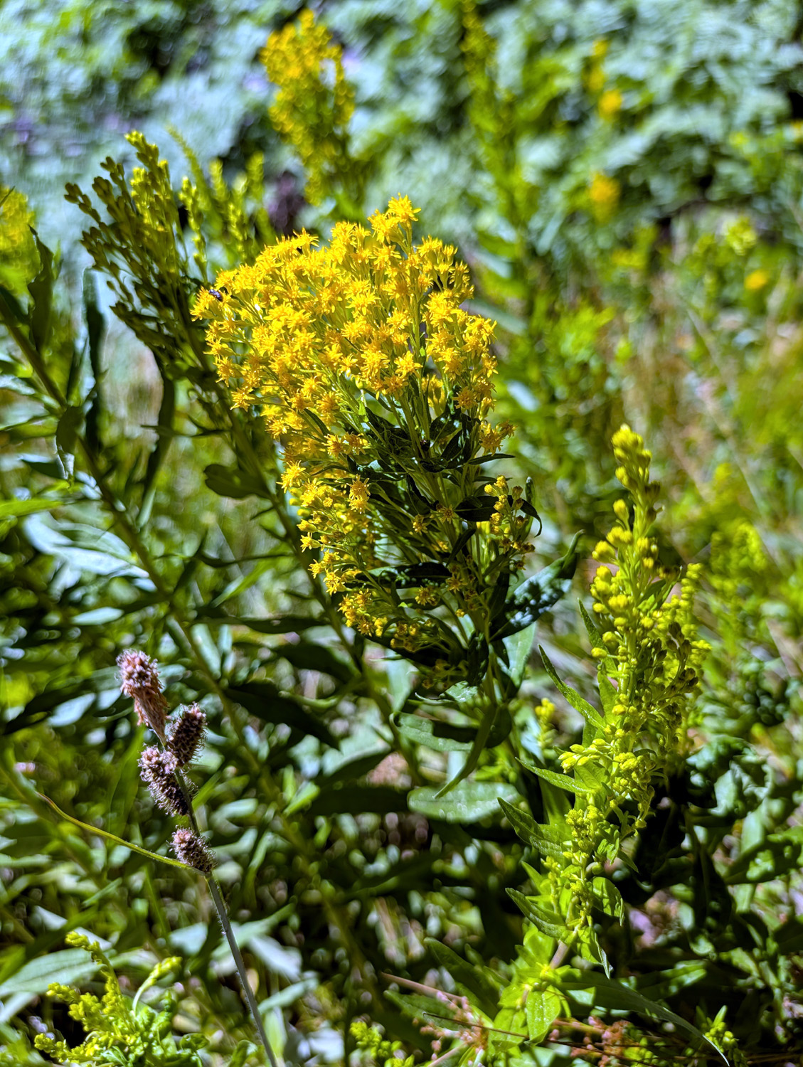 |
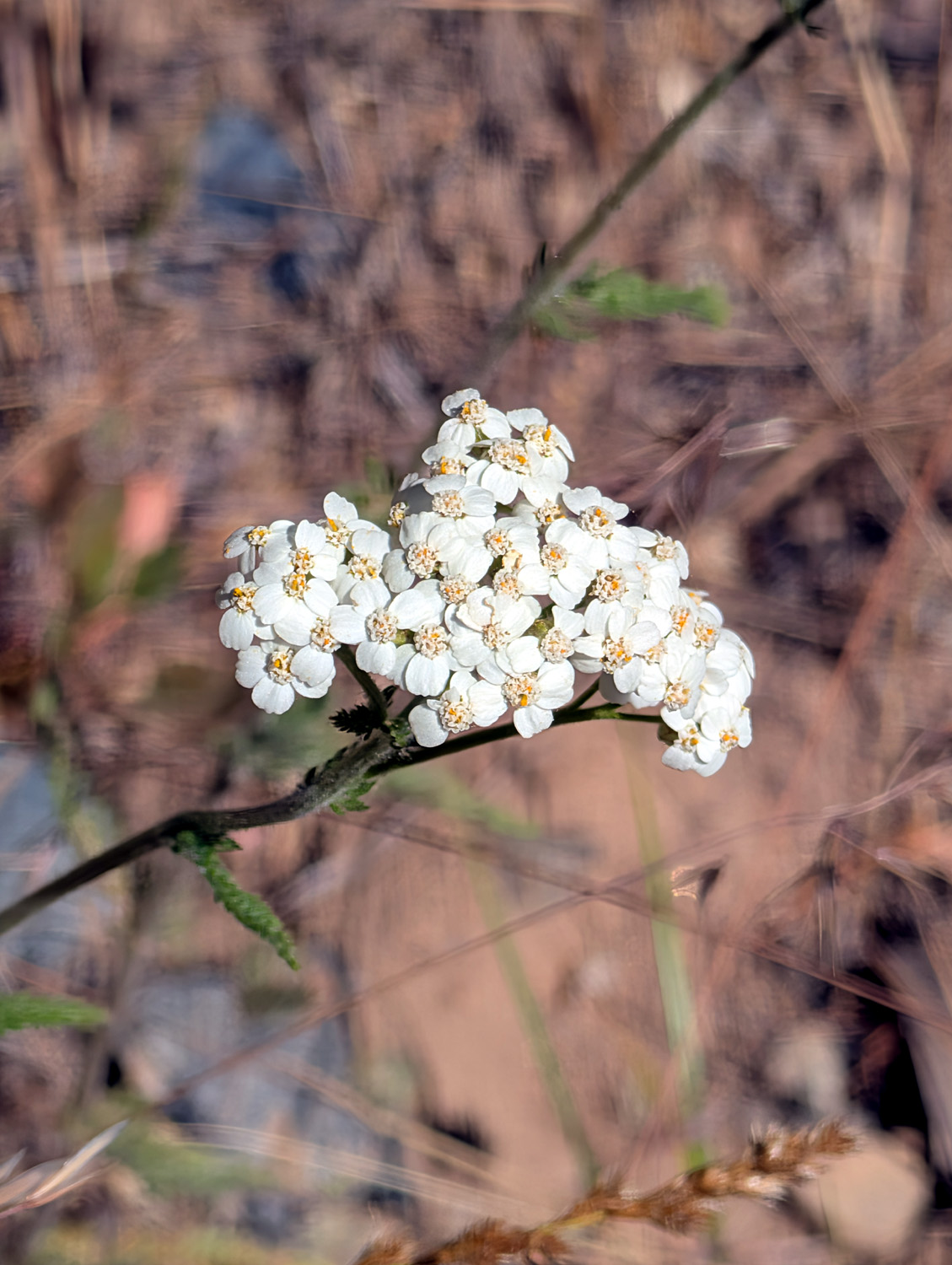
| Fine example of a young sequoia | Yarrow | California goldenrod |
 |
 |
|
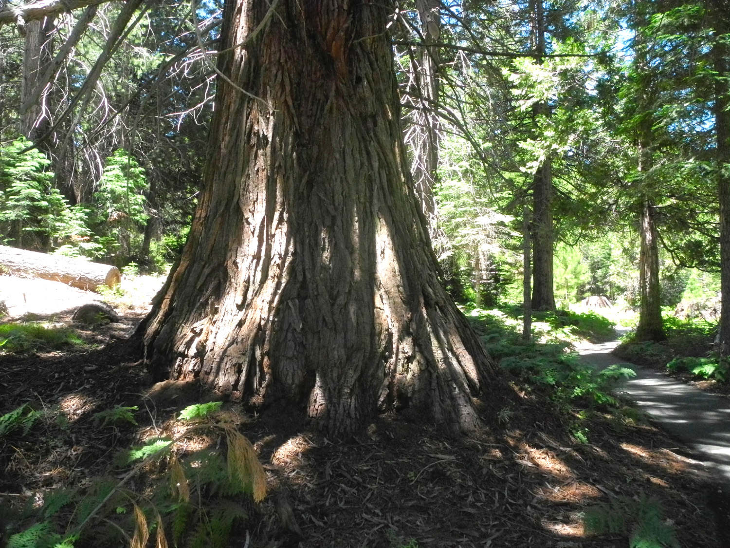
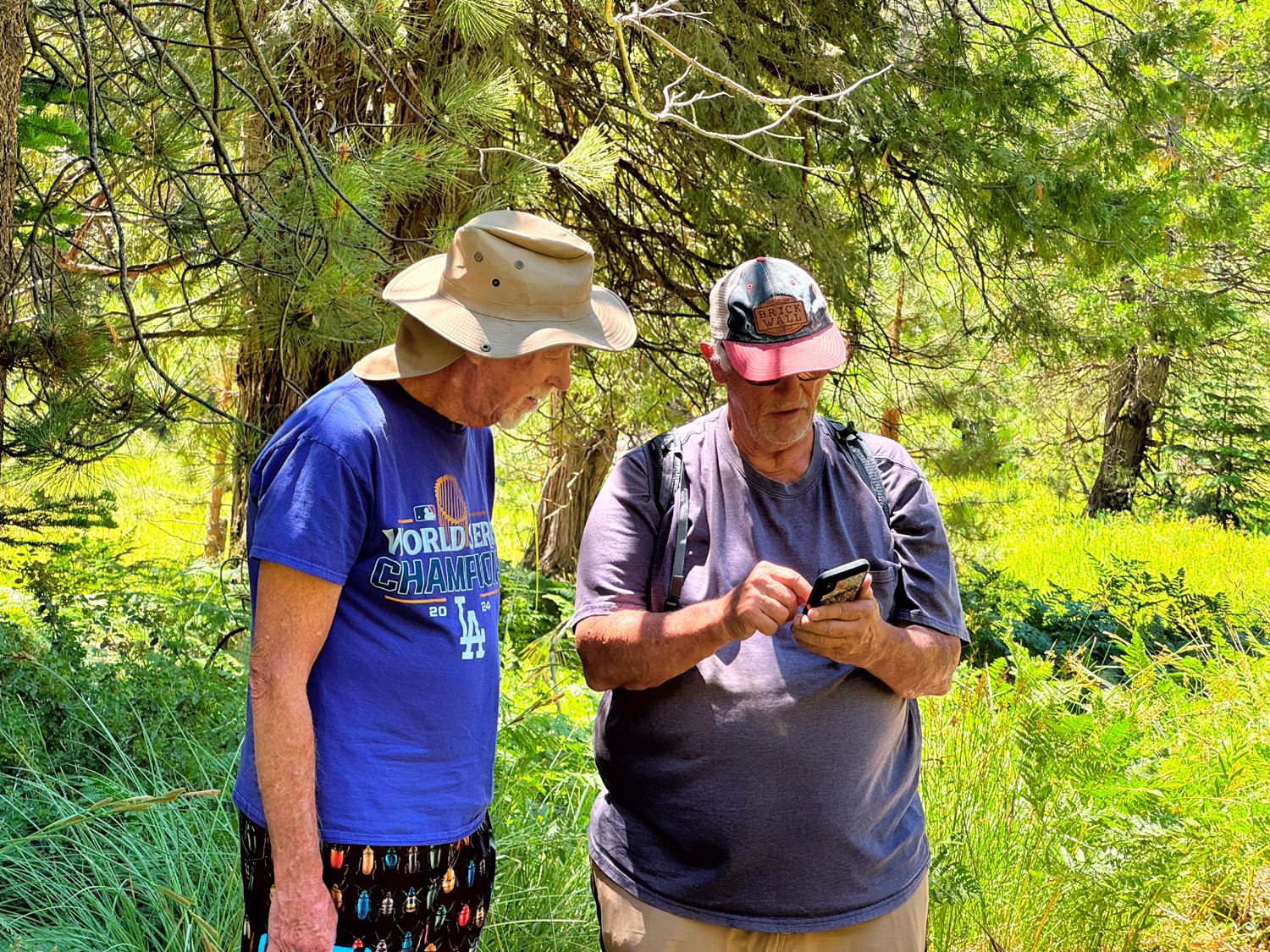
| Sequoia probably 125 years old | Bruce and Don B in conference | One of many big stumps along the trail |
| Courtright
Reservoir (Photos by Wes & Dick) |
||
|
 |
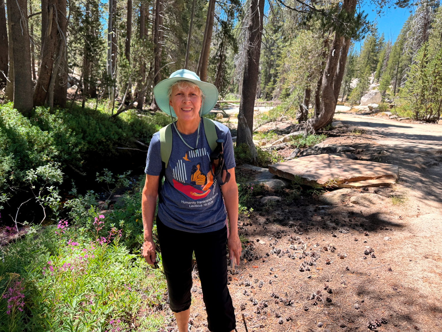 |
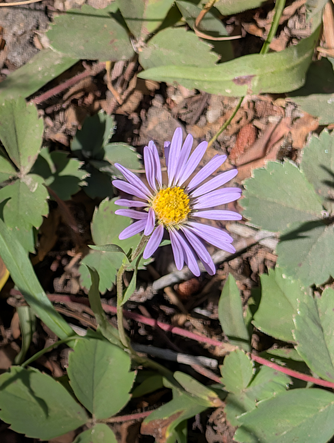
| Wes and the lake | Asters were among the few flowers we saw | Vickie next to some fireweed blossoms |
 |
 |
|
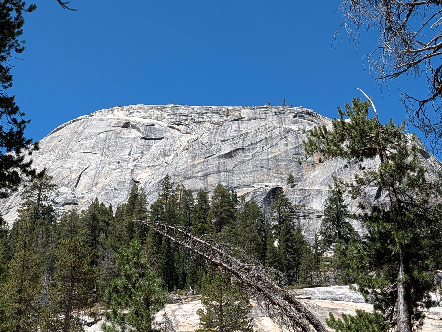
| Voyager Dome (we call it Constant Dome) | Lunch on the rocks | Helms Creek canyon below the dam |
| Big Stump Loop Trail | ||
 |
|
|
| I am naming this the Trailhead Tree | Most of this day's Ramblers at the Trailhead Tree | Four trunks have grown together at the base |
 |
 |
 |
| Susan and Laurie
peak through an opening in a big stump |
Don M at the meadow | Wes and the girls
contemplate what Mark Twain would think of what was done here |
 |
 |
 |
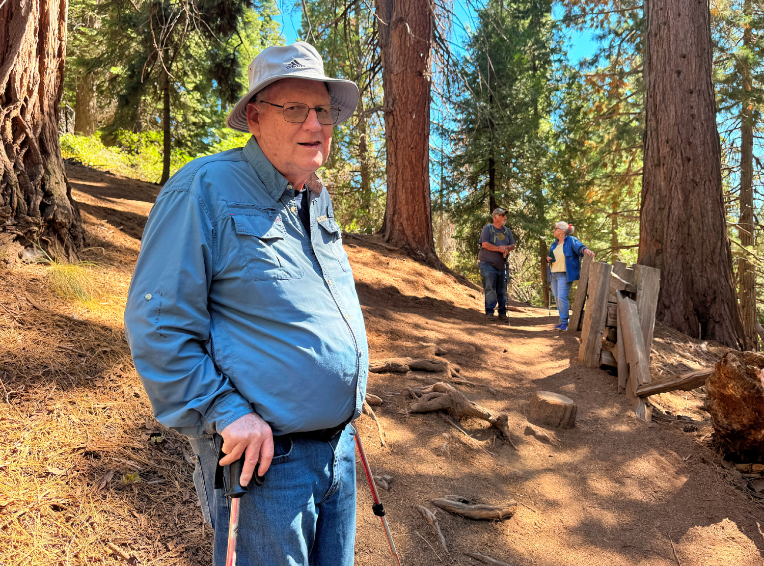
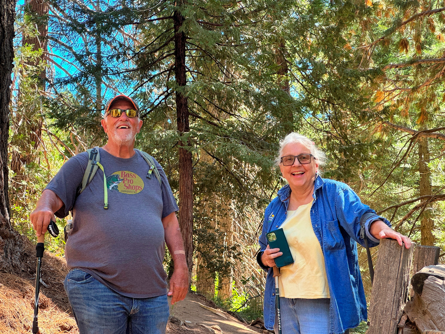
| Alan is happy to be back on the trail | Don B and Susan | Thank goodness for
these railings we could lean against |
| Related Links | ||
| Princess Campground | Sequoia National Forest | Indian Basin Grove |
| Kings Canyon National Park | Garnet Fire 2925 | Helms Pumped Storage Project |
| Dusy-Ershim Trail | Courtright Reservoir | McKinley Sequoia Grove |
| Wishon Reservoir | Big Stump Loop Trail | Mark Twain Stump |
| Kings Canyon and Sequoia National Parks | Generals Highway | |